Bradley

Settlement in Staffordshire Stafford

England

Bradley

Track and footpath Track and public right of way off Bigwood Lane
Track and footpath Credit: P Gaskell

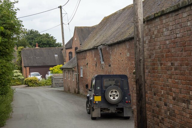
Bradley is a small village located in the county of Staffordshire, England. It lies about 9 miles north of the county town of Stafford and is situated in the picturesque countryside of the West Midlands region. With a population of around 500 residents, Bradley is known for its peaceful and rural atmosphere.

The village is characterized by its charming cottages, traditional architecture, and well-preserved historic buildings. One notable landmark is the St. Mary and All Saints Church, a beautiful 13th-century structure that stands as a testament to the village's rich history. The church is often admired for its stunning stained glass windows and intricate stonework.

Despite its small size, Bradley offers a range of amenities to its residents and visitors. The village has a local pub, The Red Lion, where one can enjoy a pint of real ale and sample traditional pub food. There is also a village hall that serves as a community center and hosts various events throughout the year.

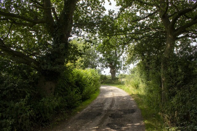
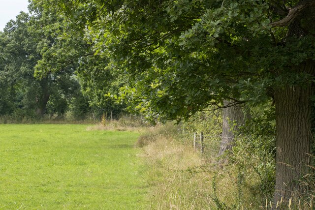
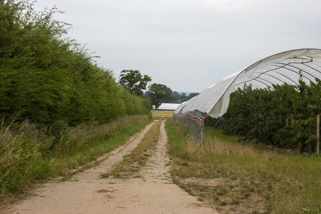
The surrounding countryside provides ample opportunities for outdoor activities and exploration. Bradley is situated near the Cannock Chase Area of Outstanding Natural Beauty, a designated national park known for its heathland, woodlands, and wildlife. This makes the village an ideal base for walkers, cyclists, and nature enthusiasts looking to explore the beautiful Staffordshire countryside.

Overall, Bradley is a quiet and picturesque village that offers a peaceful retreat from the hustle and bustle of city life. Its historical charm, natural beauty, and close-knit community make it a delightful place to visit or call home.

If you have any feedback on the listing, please let us know in the comments section below.
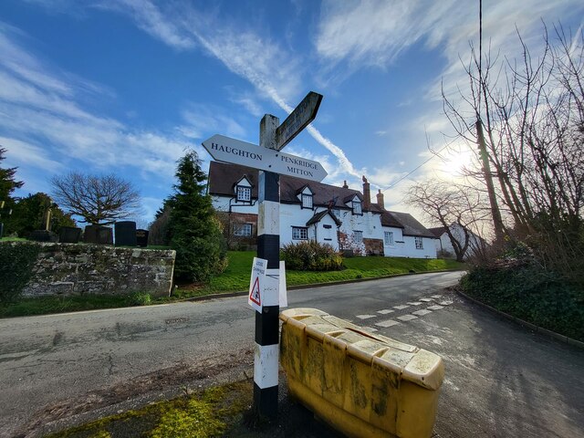
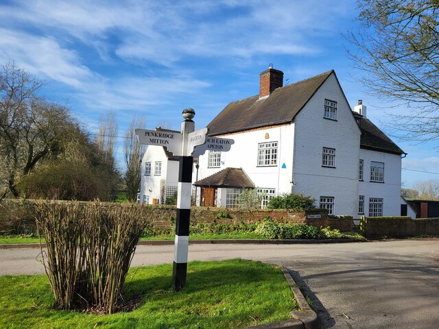
Bradley Images

Images are sourced within 2km of 52.760307/-2.1788016 or Grid Reference SJ8818. Thanks to Geograph Open Source API. All images are credited.

Track and footpath Track and public right of way off Bigwood Lane
Track and footpath
Track and public right of way off Bigwood Lane
Wells Farm
Wells Farm
Hedgerow and field Hedgerow and field on Shredicote Lane
Hedgerow and field
Hedgerow and field on Shredicote Lane
Hedgerow and polytunnel Hedgerow and polytunnel on Mitton Road
Hedgerow and polytunnel
Hedgerow and polytunnel on Mitton Road
Direction Sign – Signpost on Barton Lane, Bradley Located in the centre of the junction of Barton Lane and Almshouse Croft in Bradley parish. 3 arms and pyramid top. 

Milestone Society National ID: ST_SJ8718
Direction Sign – Signpost on Barton Lane, Bradley
Located in the centre of the junction of Barton Lane and Almshouse Croft in Bradley parish. 3 arms and pyramid top. Milestone Society National ID: ST_SJ8718
Direction Sign – Signpost on Chapel Lane in Bradley Located on the north side of the Y junction of Chapel Lane and Almshouse Croft in Bradley parish. 3 arms and ball finial. 

Milestone Society National ID: ST_SJ8717
Direction Sign – Signpost on Chapel Lane in Bradley
Located on the north side of the Y junction of Chapel Lane and Almshouse Croft in Bradley parish. 3 arms and ball finial. Milestone Society National ID: ST_SJ8717
St. Mary & All Saints, Bradley
Bradley Hall
Bradley Hall
Bradley Garden Centre
Saplings planted along the edge of the footpath Taken from a lane known as Rough Road (very very bumpy indeed!) across the fields newly planted with saplings along the Public Footpath
Saplings planted along the edge of the footpath
Taken from a lane known as Rough Road (very very bumpy indeed!) across the fields newly planted with saplings along the Public Footpath
Moat near Littywood There is a section of the ancient moat here still visible and completely full of stagnant water.
Moat near Littywood
There is a section of the ancient moat here still visible and completely full of stagnant water.
Upper Haughton House Farm A dairy farm on the road from Bradley to Haughton.
Upper Haughton House Farm
A dairy farm on the road from Bradley to Haughton.
The road to Haughton Quiet lane leading out of the village.
The road to Haughton
Quiet lane leading out of the village.
Road junction near the village centre Bradley has won prizes as a 'Best Kept Village'.
Road junction near the village centre
Bradley has won prizes as a 'Best Kept Village'.
Tractor on the road from Shredicote Farm One of the hazards of travelling on these narrow single track country roads is that you meet farmers driving large tractors, livestock lorries and horseboxes. The prevalence of barn conversions has brought an influx of commuters in cars and 4WD vehicles.
Tractor on the road from Shredicote Farm
One of the hazards of travelling on these narrow single track country roads is that you meet farmers driving large tractors, livestock lorries and horseboxes. The prevalence of barn conversions has brought an influx of commuters in cars and 4WD vehicles.
Shredicote Hall Farm The farm buildings lie off a quiet country lane.
Shredicote Hall Farm
The farm buildings lie off a quiet country lane.
Haughton House Farm The farm sits on top of the hill between Bradley and Haughton.
Haughton House Farm
The farm sits on top of the hill between Bradley and Haughton.
Farm track to Littywood The poly tunnels of the nursery can be seen in the distance.
Farm track to Littywood
The poly tunnels of the nursery can be seen in the distance.
Show me another place!

Bradley is located at Grid Ref: SJ8818 (Lat: 52.760307, Lng: -2.1788016)

Administrative County: Staffordshire

District: Stafford

Police Authority: Staffordshire

What 3 Words

///compliant.caveman.quitter. Near Penkridge, Staffordshire

Nearby Locations

Bradley

Related Wikis

Bradley, Staffordshire

Bradley is a village and civil parish in Staffordshire, England. The population of the civil parish at the 2011 census was 513. It is located close to...

Levedale

Levedale is a small somewhat elongated English village situated some 4 miles southwest of Stafford, 2 miles northwest of Penkridge and a mile west of Dunston...

Coppenhall

Coppenhall is a small settlement in Staffordshire, England. Coppenhall lies 2 kilometres (1 mi) southwest of Stafford and 4 miles (6.4 km) NNW of Penkridge...

Brazenhill

Brazenhill is rural area immediately north of the village of Haughton in Staffordshire, England. It is effectively defined by Brazenhill Lane which is...

Nearby Amenities

Located within 500m of 52.760307,-2.1788016
Bus Stop
Village Hall
Naptan AtcoCode: 3800C700800
Naptan Bearing: NE
Naptan CommonName: Village Hall
Naptan Indicator: Adj
Naptan Landmark: Village Hall
Naptan Street: Church Lane
Naptan Verified: no
Public Transport: platform
Source: naptan_import
Lat/Long: 52.760045/-2.1804484
Bus Stop
Village Hall
Naptan AtcoCode: 3800C700801
Naptan Bearing: SW
Naptan BusStopType: CUS
Naptan CommonName: Village Hall
Naptan Indicator: Opp
Naptan Landmark: Village Hall
Naptan Street: Church Lane
Naptan Verified: no
Public Transport: platform
Source: naptan_import
Lat/Long: 52.7600094/-2.1802408
Man Made: wastewater_plant
Lat/Long: 52.7636083/-2.1767661
Traffic Calming: choker
Lat/Long: 52.7622195/-2.1784941
Pub
The Red Lion
Addr Postcode: ST18 9DZ
Fhrs Id: 1195759
Website: https://www.redlionbradley.co.uk
Lat/Long: 52.7594295/-2.1798043
Barrier: stile
Bicycle: no
Foot: yes
Horse: no
Motor Vehicle: no
Lat/Long: 52.7606027/-2.1772297
Bradley
Place: village
Lat/Long: 52.7595144/-2.1759558
Barrier: stile
Bicycle: no
Foot: yes
Horse: no
Motor Vehicle: no
Lat/Long: 52.7609554/-2.1768487
Barrier: stile
Bicycle: no
Foot: yes
Horse: no
Motor Vehicle: no
Lat/Long: 52.7625833/-2.1738365
Barrier: stile
Bicycle: no
Foot: yes
Horse: no
Motor Vehicle: no
Lat/Long: 52.7608553/-2.1769495
Barrier: stile
Lat/Long: 52.7632967/-2.1827095
The data included in this document is from www.openstreetmap.org. The data is made available under ODbL.

Have you been to Bradley?

Leave your review of Bradley below (or comments, questions and feedback).