Charleton, West

Settlement in Devon South Hams

England

Charleton, West

Bridge carrying the A379 over Bowcombe Creek
Bridge carrying the A379 over Bowcombe Creek Credit: Rod Allday

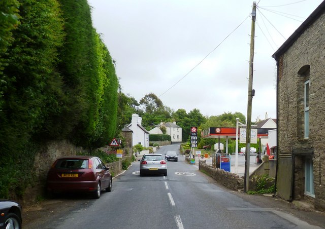
Charleton is a quaint village located in the district of West Devon, England. Nestled amidst the beautiful countryside, this rural community offers a tranquil and picturesque setting for its residents and visitors alike. With a population of around 500 people, Charleton exudes a close-knit and friendly atmosphere.

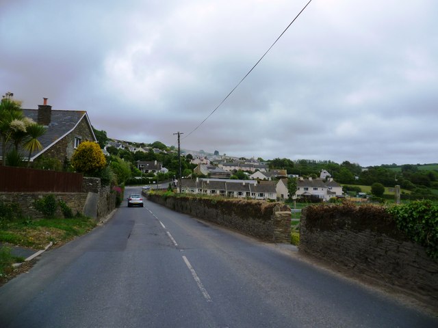
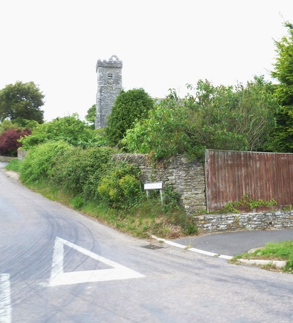
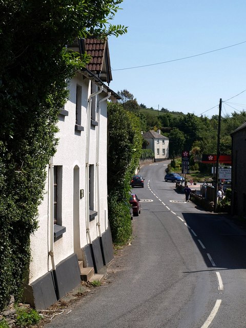
The village is characterized by its charming thatched-roof cottages, traditional stone buildings, and well-maintained gardens. It boasts a rich history dating back to the medieval era, evidenced by the presence of the St. Mary's Church, a stunning architectural gem renowned for its exquisite stained glass windows and ancient stone carvings.

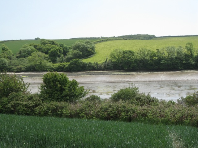
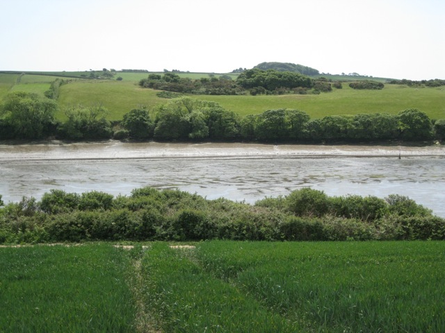
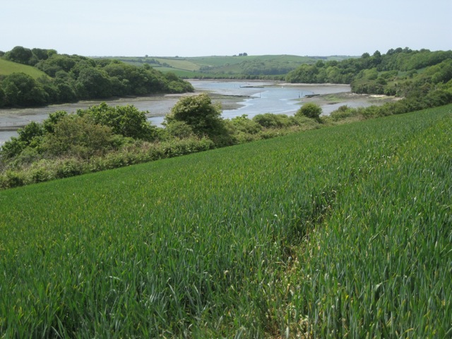
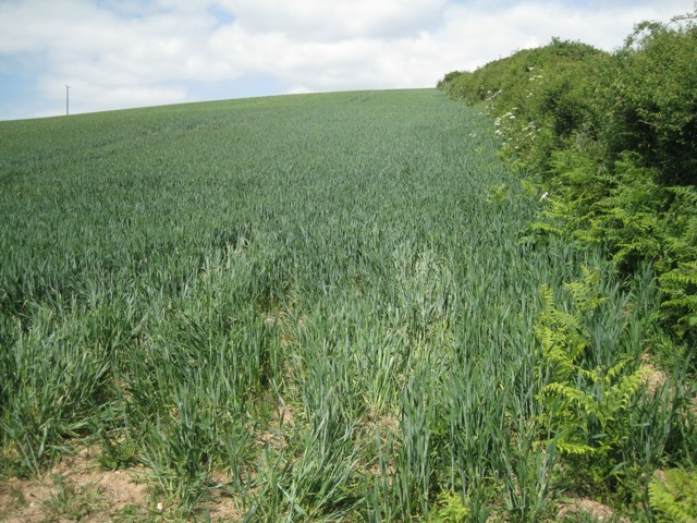
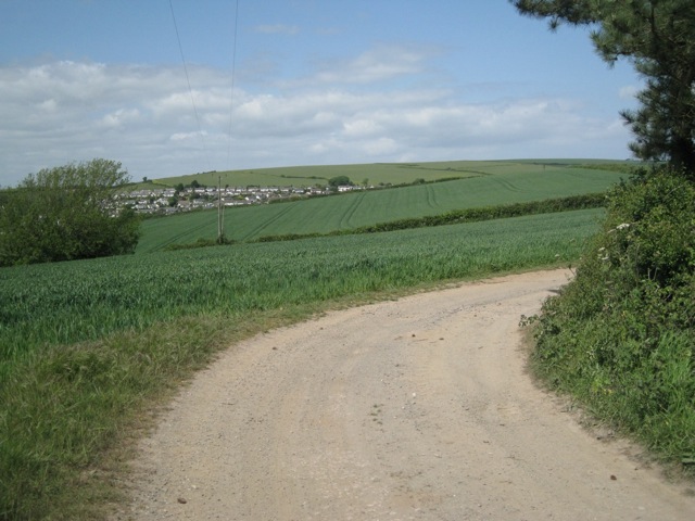
Surrounded by rolling hills and lush green fields, Charleton is a paradise for nature enthusiasts and outdoor lovers. The village is a gateway to the stunning Dartmoor National Park, offering ample opportunities for hiking, cycling, and wildlife spotting. The River Tavy, which flows nearby, is a popular spot for fishing and boating activities.

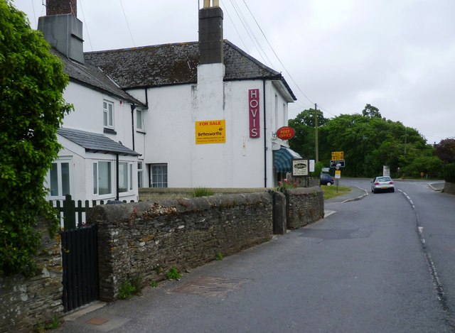
Despite its small size, Charleton offers a range of amenities to cater to the needs of its residents. These include a primary school, a village hall, a local pub serving delicious homemade food, and a convenience store for everyday essentials. The community spirit is thriving, with regular events and activities organized by local groups and organizations.

Overall, Charleton is a hidden gem in West Devon, offering a peaceful countryside retreat with a strong sense of community. Its idyllic setting, rich history, and access to natural beauty make it a desirable place to live or visit for those seeking a tranquil and picturesque escape.

If you have any feedback on the listing, please let us know in the comments section below.

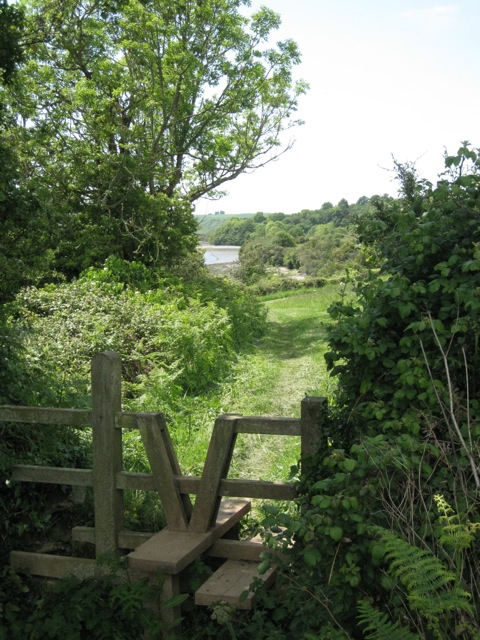
Charleton, West Images

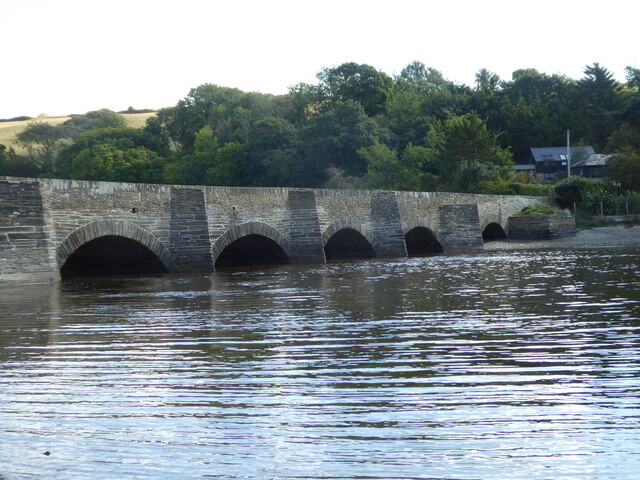
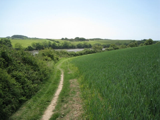
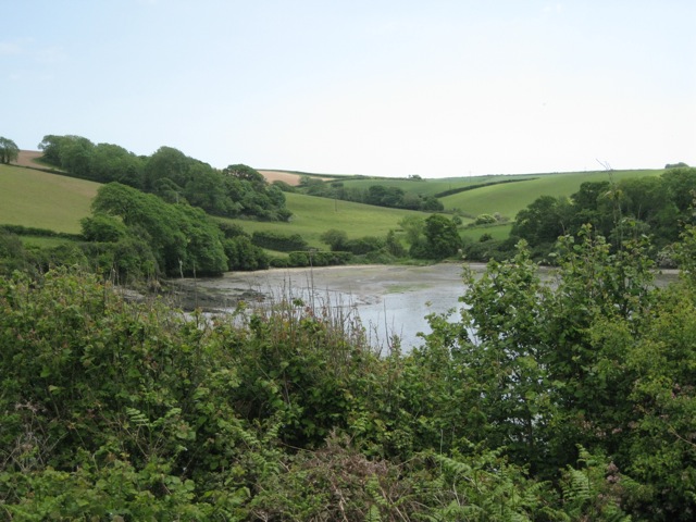
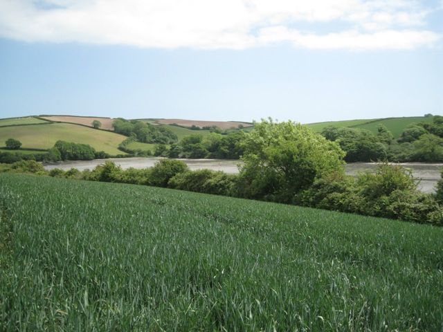
Images are sourced within 2km of 50.269241/-3.748382 or Grid Reference SX7542. Thanks to Geograph Open Source API. All images are credited.

Bridge carrying the A379 over Bowcombe Creek
Footpath by Frogmore Creek Above the far shore is the spur of land that ends in Ham Point, SX7541.
Footpath by Frogmore Creek
Above the far shore is the spur of land that ends in Ham Point, SX7541.
A stream flows into Frogmore Creek
Hedgerow, north bank of Frogmore Creek
Former quarry south of Frogmore Creek The quarries were slate pits, according to <a href="https://www.geograph.org.uk/photo/137116">SX7641 : Ham Point, North Pool Creek</a>
Former quarry south of Frogmore Creek
The quarries were slate pits, according to SX7641 : Ham Point, North Pool Creek
Scrub south of Frogmore Creek The scrub, partly gorse, grows on the crest of the spur of land that ends in Ham Point. It marks the site of slate pits, according to <a href="https://www.geograph.org.uk/photo/317166">TR2660 : Farmland and houses, looking W towards Elmstone.</a>
Scrub south of Frogmore Creek
The scrub, partly gorse, grows on the crest of the spur of land that ends in Ham Point. It marks the site of slate pits, according to TR2660 : Farmland and houses, looking W towards Elmstone.
Frogmore Creek
Frogmore Creek
Edge of a wheatfield
Stile, north side of Frogmore Creek The view ten years later: <a href="https://www.geograph.org.uk/photo/6319910">SX7641 : Field above Frogmore Creek</a>.
Stile, north side of Frogmore Creek
The view ten years later: SX7641 : Field above Frogmore Creek.
Entering West Charleton
Frogmore Bakery & Post Office
St Mary's Church - West Charleton
East Charleton
East Charleton
Frogmore Creek above Ham Point looking southwest Ham Point projects on the left. Frogmore Creek joins the Kingsbridge Estuary below Wareham Point, the low green mound above centre. Woodland on the right has developed in the disused Geese Quarries.
Frogmore Creek above Ham Point looking southwest
Ham Point projects on the left. Frogmore Creek joins the Kingsbridge Estuary below Wareham Point, the low green mound above centre. Woodland on the right has developed in the disused Geese Quarries.
A footpath junction by the foreshore Ham Point shows across Frogmore Creek. Another view of the location is <a href="https://www.geograph.org.uk/photo/6320949">SX7541 : Wall by Frogmore Creek</a>.
A footpath junction by the foreshore
Ham Point shows across Frogmore Creek. Another view of the location is SX7541 : Wall by Frogmore Creek.
Frogmore Creek above Ham Point looking east The foreshore here is of shattered slate.
Frogmore Creek above Ham Point looking east
The foreshore here is of shattered slate.
Frogmore Creek below Ham Point looking southwest The creek joins the Kingsbridge Estuary beyond Wembourne Point, the low green mound above centre. The foreshore here is of shattered slate.
Frogmore Creek below Ham Point looking southwest
The creek joins the Kingsbridge Estuary beyond Wembourne Point, the low green mound above centre. The foreshore here is of shattered slate.
Hill above West Charleton Seen beyond wheatfields from a track near the disused Geese Quarries. West Charleton village is in SX7542.
Hill above West Charleton
Seen beyond wheatfields from a track near the disused Geese Quarries. West Charleton village is in SX7542.
Show me another place!

Charleton, West is located at Grid Ref: SX7542 (Lat: 50.269241, Lng: -3.748382)

Administrative County: Devon

District: South Hams

Police Authority: Devon and Cornwall

What 3 Words

///removing.evolution.stunts. Near Kingsbridge, Devon

Related Wikis

Charleton

Charleton is a civil parish in the South Hams district, in the county of Devon, England. In 2001 its population was 511. The parish forms part of the Saltstone...
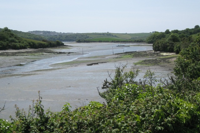
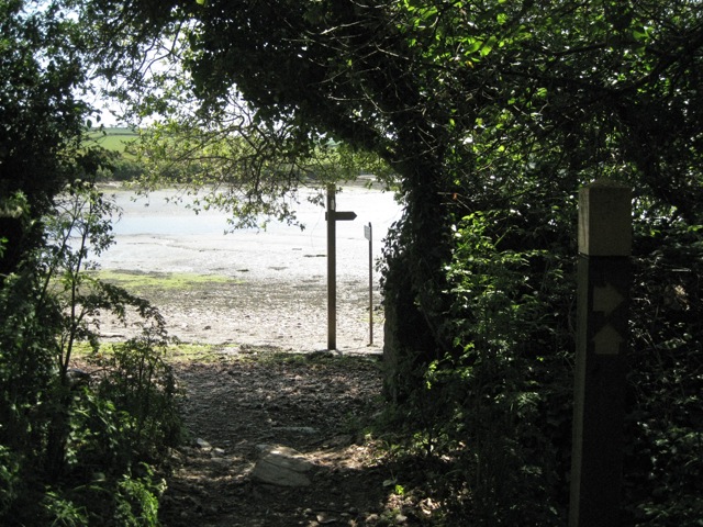
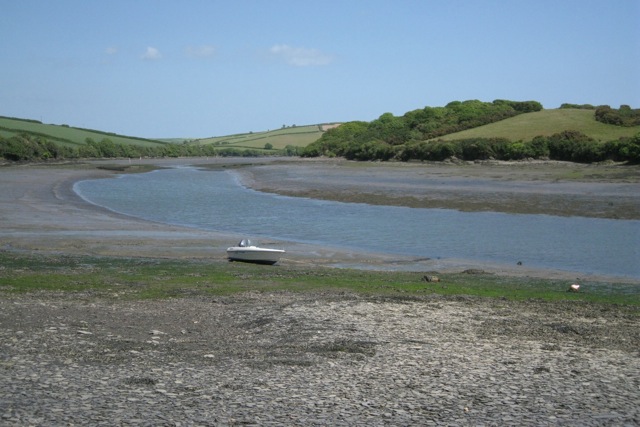
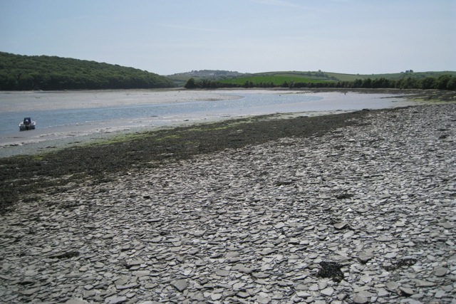
Bowcombe Creek

Bowcombe Creek is a tidal creek in Kingsbridge, Devon, England. It is the most northerly creek of the Kingsbridge Estuary. The creek is fed by a stream...
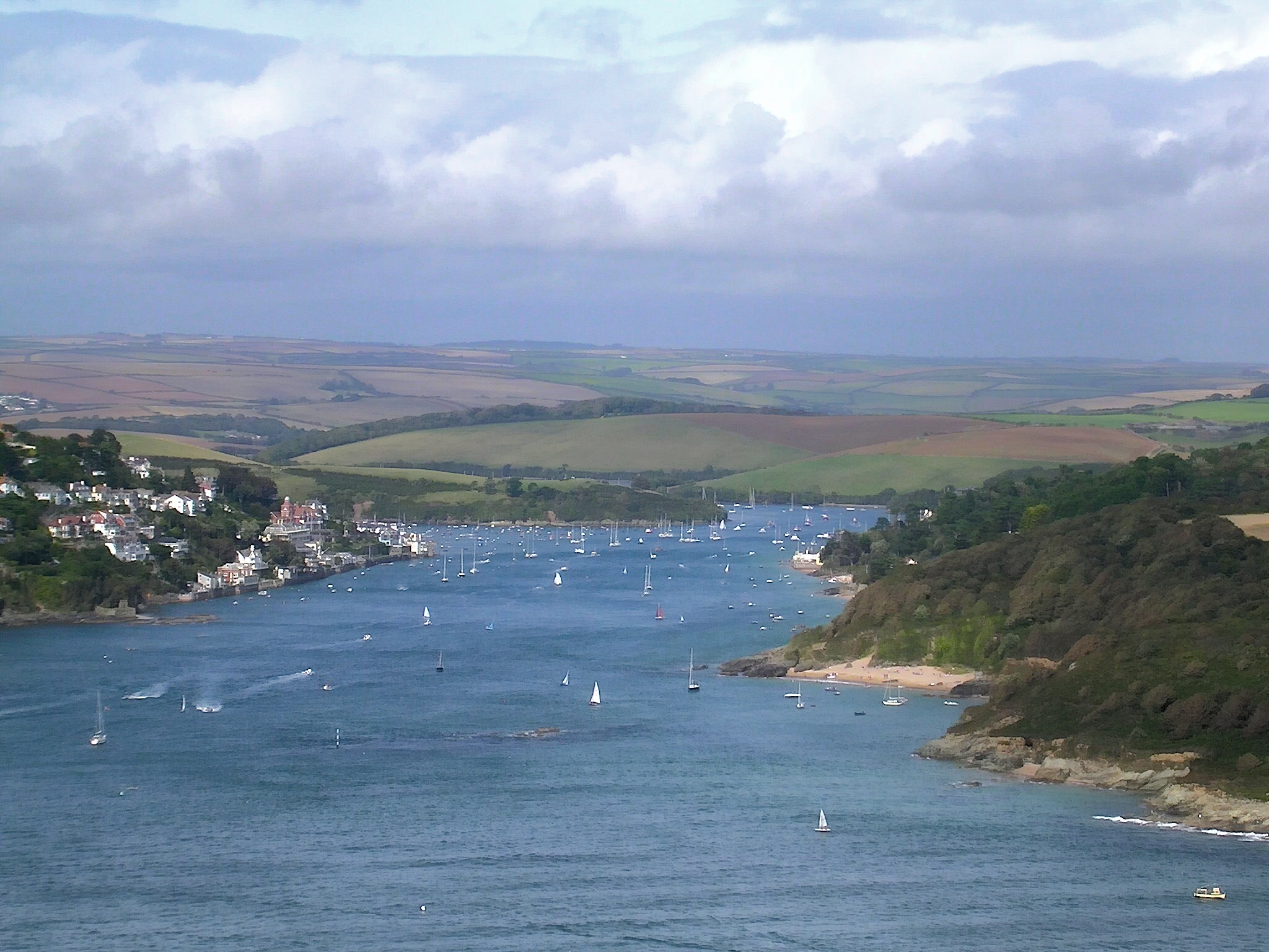
Kingsbridge Estuary

The Kingsbridge Estuary (also, erroneously, known as the 'Salcombe Estuary') in the South Hams area of Devon, England runs from Kingsbridge in the north...

Frogmore, Devon

Frogmore is a village in the civil parish of Frogmore and Sherford in the South Hams district of the county of Devon, England.The origin of the place-name...

Nearby Amenities

Located within 500m of 50.269241,-3.748382
West Charleton
Place: village
Source: OS_OpenData_StreetView
Lat/Long: 50.2706373/-3.7492342
Bus Stop
Charleton Primary School
Bench: yes
Bin: yes
Bus: yes
Naptan AtcoCode: 1100DEA10175
Naptan NaptanCode: dvnawpjp
Public Transport: platform
Shelter: yes
Tactile Paving: no
Lat/Long: 50.2706229/-3.7490161
Direction: 210
Generator Method: photovoltaic
Generator Output Electricity: yes
Generator Solar Modules: 16
Generator Source: solar
Generator Type: solar_photovoltaic_panel
Location: roof
Power: generator
Lat/Long: 50.2708434/-3.7479927
Direction: 185
Generator Method: photovoltaic
Generator Output Electricity: yes
Generator Solar Modules: 2
Generator Source: solar
Generator Type: solar_photovoltaic_panel
Location: roof
Power: generator
Lat/Long: 50.2712978/-3.7521204
Direction: 235
Generator Method: photovoltaic
Generator Output Electricity: yes
Generator Solar Modules: 16
Generator Source: solar
Generator Type: solar_photovoltaic_panel
Location: roof
Power: generator
Lat/Long: 50.2696017/-3.7534293
Direction: SSW
Generator Method: photovoltaic
Generator Output Electricity: yes
Generator Solar Modules: 16
Generator Source: solar
Generator Type: solar_photovoltaic_panel
Location: roof
Power: generator
Lat/Long: 50.2713663/-3.7466449
Direction: 185
Generator Method: photovoltaic
Generator Output Electricity: yes
Generator Solar Modules: 16
Generator Source: solar
Generator Type: solar_photovoltaic_panel
Location: roof
Power: generator
Lat/Long: 50.2706756/-3.7504973
Direction: 185
Generator Method: photovoltaic
Generator Output Electricity: yes
Generator Solar Modules: 5
Generator Source: solar
Generator Type: solar_photovoltaic_panel
Location: roof
Power: generator
Lat/Long: 50.2712963/-3.7520583
Direction: 175
Generator Method: photovoltaic
Generator Output Electricity: yes
Generator Solar Modules: 9
Generator Source: solar
Generator Type: solar_photovoltaic_panel
Location: roof
Power: generator
Lat/Long: 50.2694672/-3.752977
Direction: 185
Generator Method: photovoltaic
Generator Output Electricity: yes
Generator Solar Modules: 16
Generator Source: solar
Generator Type: solar_photovoltaic_panel
Location: roof
Power: generator
Lat/Long: 50.271517/-3.7483829
Direction: S
Generator Method: photovoltaic
Generator Output Electricity: yes
Generator Solar Modules: 16
Generator Source: solar
Generator Type: solar_photovoltaic_panel
Location: roof
Power: generator
Lat/Long: 50.2713819/-3.7481238
Direction: 185
Generator Method: photovoltaic
Generator Output Electricity: yes
Generator Solar Modules: 16
Generator Source: solar
Generator Type: solar_photovoltaic_panel
Location: roof
Power: generator
Lat/Long: 50.2713728/-3.7499618
Direction: S
Generator Method: photovoltaic
Generator Output Electricity: yes
Generator Solar Modules: 16
Generator Source: solar
Generator Type: solar_photovoltaic_panel
Location: roof
Power: generator
Lat/Long: 50.2707189/-3.7494913
Dir: S
Generator Method: photovoltaic
Generator Output Electricity: yes
Generator Solar Modules: 10
Generator Source: solar
Generator Type: solar_photovoltaic_panel
Location: roof
Power: generator
Lat/Long: 50.2706985/-3.7499845
Direction: 185
Generator Method: photovoltaic
Generator Output Electricity: yes
Generator Solar Modules: 14
Generator Source: solar
Generator Type: solar_photovoltaic_panel
Location: roof
Power: generator
Lat/Long: 50.2712724/-3.747942
Direction: 185
Generator Method: photovoltaic
Generator Output Electricity: yes
Generator Solar Modules: 8
Generator Source: solar
Generator Type: solar_photovoltaic_panel
Location: roof
Power: generator
Lat/Long: 50.2705771/-3.7527124
Direction: 185
Generator Method: photovoltaic
Generator Output Electricity: yes
Generator Solar Modules: 16
Generator Source: solar
Generator Type: solar_photovoltaic_panel
Location: roof
Power: generator
Lat/Long: 50.2710398/-3.7513641
Direction: S
Generator Method: photovoltaic
Generator Output Electricity: yes
Generator Solar Modules: 40
Generator Source: solar
Generator Type: solar_photovoltaic_panel
Location: roof
Power: generator
Lat/Long: 50.2703985/-3.7484348
Direction: 185
Generator Method: photovoltaic
Generator Output Electricity: yes
Generator Solar Modules: 16
Generator Source: solar
Generator Type: solar_photovoltaic_panel
Location: roof
Power: generator
Lat/Long: 50.2712878/-3.747582
Direction: 275
Generator Method: photovoltaic
Generator Output Electricity: yes
Generator Solar Modules: 9
Generator Source: solar
Generator Type: solar_photovoltaic_panel
Location: roof
Power: generator
Lat/Long: 50.2712486/-3.7521206
Direction: 185
Generator Method: photovoltaic
Generator Output Electricity: yes
Generator Solar Modules: 15
Generator Source: solar
Generator Type: solar_photovoltaic_panel
Location: roof
Power: generator
Lat/Long: 50.2716985/-3.7494458
Direction: 185
Generator Method: photovoltaic
Generator Output Electricity: yes
Generator Solar Modules: 3
Generator Source: solar
Generator Type: solar_photovoltaic_panel
Location: roof
Power: generator
Lat/Long: 50.2709154/-3.75084
Direction: 165
Generator Method: photovoltaic
Generator Output Electricity: yes
Generator Solar Modules: 16
Generator Source: solar
Generator Type: solar_photovoltaic_panel
Location: roof
Power: generator
Lat/Long: 50.270052/-3.7512897
Direction: 185
Generator Method: photovoltaic
Generator Output Electricity: yes
Generator Solar Modules: 14
Generator Source: solar
Generator Type: solar_photovoltaic_panel
Location: roof
Power: generator
Lat/Long: 50.2718317/-3.7513407
Direction: 185
Generator Method: photovoltaic
Generator Output Electricity: yes
Generator Solar Modules: 16
Generator Source: solar
Generator Type: solar_photovoltaic_panel
Location: roof
Power: generator
Lat/Long: 50.2709307/-3.753474
Generator Method: photovoltaic
Generator Output Electricity: yes
Generator Source: solar
Generator Type: solar_photovoltaic_panel
Location: roof
Power: generator
Lat/Long: 50.2700685/-3.7526006
Direction: SSE
Generator Method: photovoltaic
Generator Output Electricity: yes
Generator Solar Modules: 16
Generator Source: solar
Generator Type: solar_photovoltaic_panel
Location: roof
Power: generator
Lat/Long: 50.2710386/-3.7497546
Direction: SSE
Generator Method: photovoltaic
Generator Output Electricity: yes
Generator Solar Modules: 10
Generator Source: solar
Generator Type: solar_photovoltaic_panel
Location: roof
Power: generator
Lat/Long: 50.2704576/-3.7519072
Direction: 175
Generator Method: photovoltaic
Generator Output Electricity: yes
Generator Solar Modules: 4
Generator Source: solar
Generator Type: solar_photovoltaic_panel
Location: roof
Power: generator
Lat/Long: 50.27114/-3.75288
Power: pole
Lat/Long: 50.2656108/-3.7446335
Power: pole
Lat/Long: 50.2662422/-3.7454052
Power: pole
Lat/Long: 50.2671251/-3.746586
Power: pole
Lat/Long: 50.2681293/-3.7473108
Power: pole
Lat/Long: 50.2686116/-3.7473492
Direction: 185
Generator Method: photovoltaic
Generator Output Electricity: yes
Generator Solar Modules: 1
Generator Source: solar
Generator Type: solar_photovoltaic_panel
Location: roof
Power: generator
Lat/Long: 50.2716974/-3.7493535
Direction: 185
Generator Method: photovoltaic
Generator Output Electricity: yes
Generator Solar Modules: 15
Generator Source: solar
Generator Type: solar_photovoltaic_panel
Location: roof
Power: generator
Lat/Long: 50.2713667/-3.74979
Direction: 185
Generator Method: photovoltaic
Generator Output Electricity: yes
Generator Solar Modules: 16
Generator Source: solar
Generator Type: solar_photovoltaic_panel
Location: roof
Power: generator
Lat/Long: 50.2713797/-3.7504344
Direction: 175
Generator Method: photovoltaic
Generator Output Electricity: yes
Generator Solar Modules: 16
Generator Source: solar
Generator Type: solar_photovoltaic_panel
Location: roof
Power: generator
Lat/Long: 50.2710125/-3.7502265
Direction: 185
Generator Method: photovoltaic
Generator Output Electricity: yes
Generator Solar Modules: 1
Generator Source: solar
Generator Type: solar_photovoltaic_panel
Location: roof
Power: generator
Lat/Long: 50.2709034/-3.7507838
Direction: 95
Generator Method: photovoltaic
Generator Output Electricity: yes
Generator Solar Modules: 2
Generator Source: solar
Generator Type: solar_photovoltaic_panel
Location: roof
Power: generator
Lat/Long: 50.2708841/-3.7508012
Direction: 275
Generator Method: photovoltaic
Generator Output Electricity: yes
Generator Solar Modules: 6
Generator Source: solar
Generator Type: solar_photovoltaic_panel
Location: roof
Power: generator
Lat/Long: 50.2708684/-3.7508421
Direction: 185
Generator Method: photovoltaic
Generator Output Electricity: yes
Generator Solar Modules: 5
Generator Source: solar
Generator Type: solar_photovoltaic_panel
Location: roof
Power: generator
Lat/Long: 50.2710588/-3.7515565
Direction: 185
Generator Method: photovoltaic
Generator Output Electricity: yes
Generator Solar Modules: 11
Generator Source: solar
Generator Type: solar_photovoltaic_panel
Location: roof
Power: generator
Lat/Long: 50.2710689/-3.7517036
Direction: ESE
Generator Method: photovoltaic
Generator Output Electricity: yes
Generator Solar Modules: 16
Generator Source: solar
Generator Type: solar_photovoltaic_panel
Location: roof
Power: generator
Lat/Long: 50.2710968/-3.75429
Post Box
Brand: Royal Mail
Brand Wikidata: Q638098
Brand Wikipedia: en:Royal Mail
Collection Times: Mo-Fr 16:45; Sa 12:00; Su off
Operator: Royal Mail
Operator Wikidata: Q638098
Post Box Design: type_n
Post Box Mounting: pier
Post Box Type: lamp
Ref: TQ7 73
Royal Cypher: EIIR
Royal Cypher Wikidata: Q33102113
Source: survey;streetlevel imagery;aerial imagery
Lat/Long: 50.2706625/-3.7490997
Bus Stop
Bus: yes
Public Transport: platform
Survey Date: 2022-01-09
Lat/Long: 50.2700533/-3.753138
Bench
Backrest: yes
Survey Date: 2022-01-09
Lat/Long: 50.2649473/-3.7479561
Defibrillator
Access: yes
Booth: K6
Covered: booth
Defibrillator Location: inside old red phone box in West Charleton
Disused Amenity: telephone
Emergency: defibrillator
Man Made: telephone_box
Survey Date: 2022-01-09
Lat/Long: 50.270394/-3.7500515
Waste Basket
Survey Date: 2022-01-09
Lat/Long: 50.2700469/-3.7531574
Grit Bin
Survey Date: 2022-01-09
Lat/Long: 50.2700276/-3.753176
Bench
Backrest: yes
Survey Date: 2022-01-09
Lat/Long: 50.2697086/-3.7545621
Description: West and East Charleton Millenium Beacon
Man Made: beacon
Lat/Long: 50.2650085/-3.7482757
The data included in this document is from www.openstreetmap.org. The data is made available under ODbL.

Have you been to Charleton, West?

Leave your review of Charleton, West below (or comments, questions and feedback).