West Challow

Settlement in Berkshire Vale of White Horse

England

West Challow

Milestone on A417 north of East Challow Looking north along the A417 with the milestone on the opposite side of the road.
Milestone on A417 north of East Challow Credit: Dennis Jackson

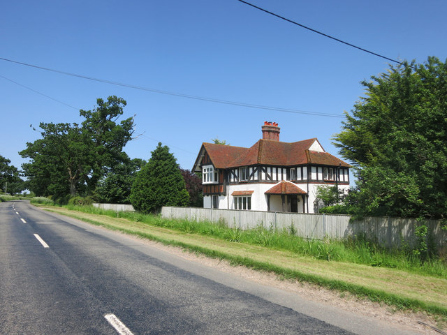
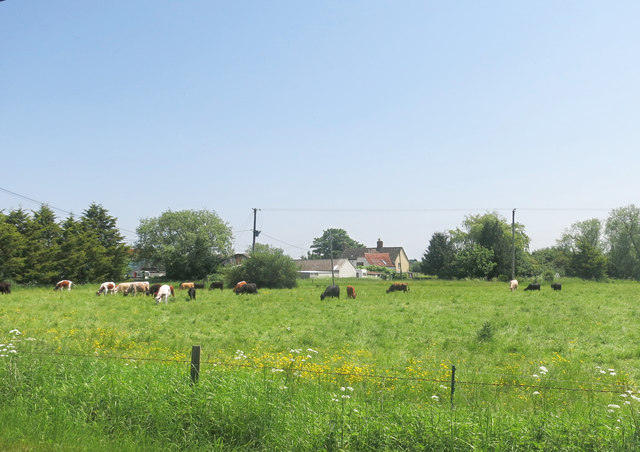
West Challow is a small village located in the county of Berkshire, England. Situated approximately 6 miles southwest of the town of Wantage, it falls within the Vale of White Horse district. The village is surrounded by picturesque countryside, offering a peaceful and rural setting.

The origins of West Challow can be traced back to medieval times, as evidenced by the presence of the Grade II listed St. Laurence Church, which dates back to the 13th century. The church serves as a focal point for the community, hosting religious services and community events.

Despite its small size, West Challow boasts a strong sense of community. The village has a small primary school, providing education for local children, and a village hall that serves as a gathering place for various activities and events. Additionally, there are several local clubs and societies that cater to different interests, promoting a sense of camaraderie among residents.

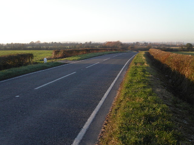
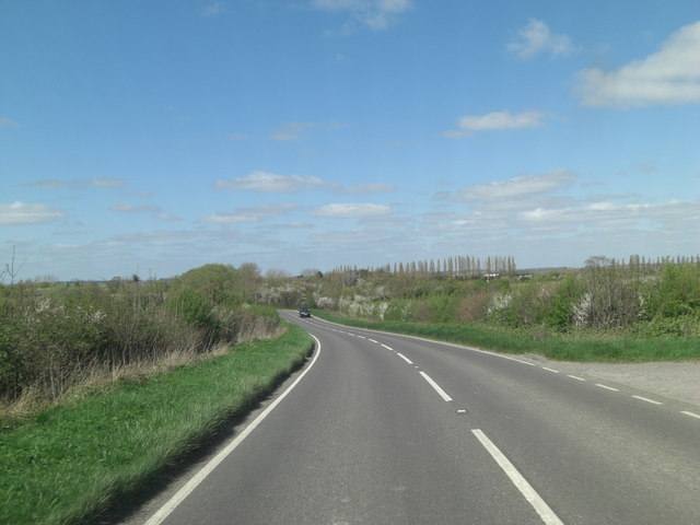
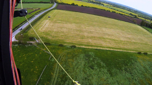
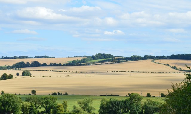
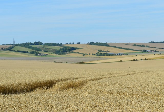
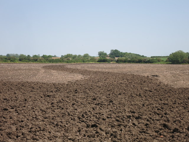
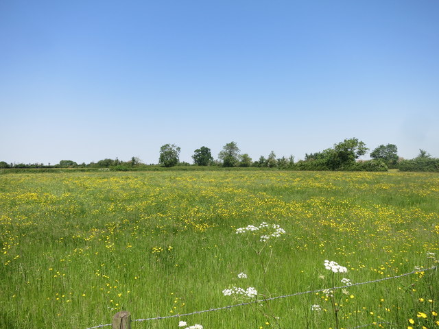
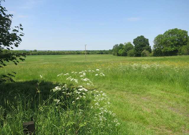
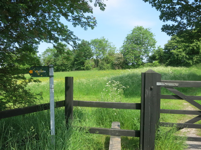
The village enjoys a tranquil and idyllic setting, surrounded by beautiful countryside. There are several footpaths and bridleways in the area, allowing residents and visitors to explore the nearby fields and woodlands. The village is also conveniently located near the Berkshire Downs, offering opportunities for outdoor activities such as hiking, cycling, and horse riding.

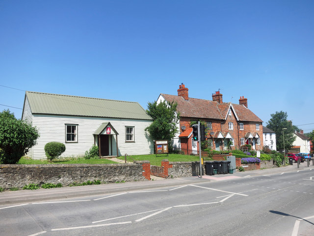
In terms of amenities, West Challow is situated in close proximity to the market town of Wantage, where residents can find a wider range of shops, restaurants, and leisure facilities. The village is well-connected by road, with the A417 passing nearby, providing easy access to nearby towns and cities.

Overall, West Challow offers a charming and peaceful rural lifestyle, with a close-knit community and easy access to amenities in nearby towns.

If you have any feedback on the listing, please let us know in the comments section below.
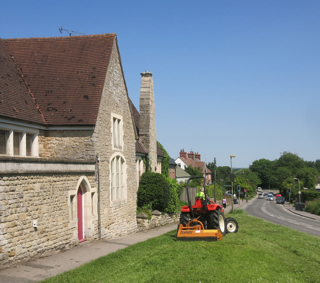
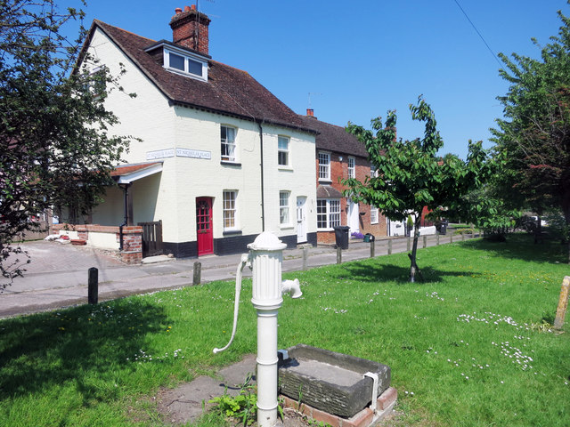
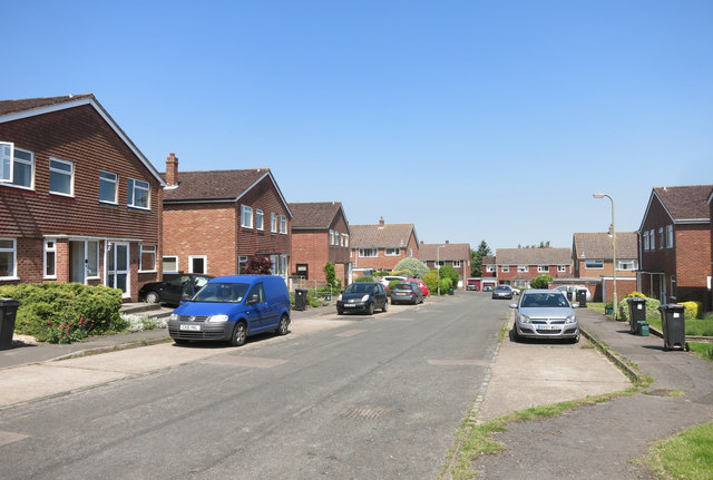
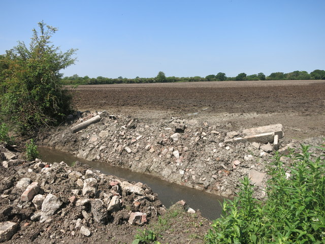
West Challow Images

Images are sourced within 2km of 51.593496/-1.4702462 or Grid Reference SU3688. Thanks to Geograph Open Source API. All images are credited.

Milestone on A417 north of East Challow Looking north along the A417 with the milestone on the opposite side of the road.
Milestone on A417 north of East Challow
Looking north along the A417 with the milestone on the opposite side of the road.
Farm buildings at Challow Marsh Farm
A417 - Faringdon Road, northwest of Hill Farm
Challow Paramotor Club Based in a field on the North side of Challow Hill Farm, but not many members present today.   See <span class="nowrap"><a title="http://challowparamotorclub.co.uk/" rel="nofollow ugc noopener" href="http://challowparamotorclub.co.uk/">Link</a><img style="margin-left:2px;" alt="External link" title="External link - shift click to open in new window" src="https://s1.geograph.org.uk/img/external.png" width="10" height="10"/></span>
Challow Paramotor Club
Based in a field on the North side of Challow Hill Farm, but not many members present today. See LinkExternal link
Bridge House, East Challow, Oxfordshire C17, remodelled late C18. Originally timber-framed. Colourwashed Flemish bond brick; old tile roof; brick stacks. 2-unit plan. 2 storeys; 3-window range. Carved brackets to flat hood over C20 door. Segmental header arches over C20 three-light casements and 2-light casement over door. Half-hipped and gabled roof; gable end stack to right. 

(Source:Historic England)
Bridge House, East Challow, Oxfordshire
C17, remodelled late C18. Originally timber-framed. Colourwashed Flemish bond brick; old tile roof; brick stacks. 2-unit plan. 2 storeys; 3-window range. Carved brackets to flat hood over C20 door. Segmental header arches over C20 three-light casements and 2-light casement over door. Half-hipped and gabled roof; gable end stack to right. (Source:Historic England)
Cloud patterns, Letcombe Regis, Oxfordshire
Farmland, West Challow, Oxfordshire
Mission Hall, East Challow A basic place of worship on Main Street which has been active since 1904.
Mission Hall, East Challow
A basic place of worship on Main Street which has been active since 1904.
Cutting the Grass, East Challow Looking down Main Street from outside what looks like the old school.
Cutting the Grass, East Challow
Looking down Main Street from outside what looks like the old school.
Old Pump, East Challow
Field Gardens, East Challow
Digging in the Ditch Looks like a culvert or something has been taken out here.
Digging in the Ditch
Looks like a culvert or something has been taken out here.
Ploughing some Curves
Buttercup Meadow Flat, pastoral landscape all around here.
Buttercup Meadow
Flat, pastoral landscape all around here.
Petwick Stud Farmhouse Beside the B4001.
Petwick Stud Farmhouse
Beside the B4001.
Fields near Sparsholt
Footpath Stile, Pulpit Hill The start of a short path which crosses a couple of fields and comes out on Watery Lane in Sparsholt.
Footpath Stile, Pulpit Hill
The start of a short path which crosses a couple of fields and comes out on Watery Lane in Sparsholt.
Cows at Challow Marsh Farm Pastoral scene beside the road to Denchworth.
Cows at Challow Marsh Farm
Pastoral scene beside the road to Denchworth.
Show me another place!

West Challow is located at Grid Ref: SU3688 (Lat: 51.593496, Lng: -1.4702462)

Administrative County: Oxfordshire

District: Vale of White Horse

Police Authority: Thames Valley

What 3 Words

///book.rushed.signified. Near Wantage, Oxfordshire

Nearby Locations

Challow, West West Challow

Related Wikis

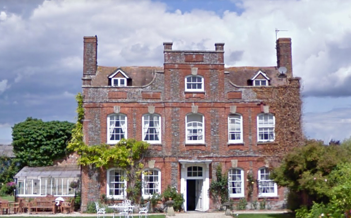
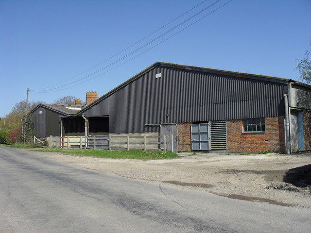
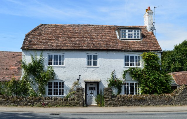
Manor Farm, West Challow

Manor Farm in West Challow, Oxfordshire, England, is a building of historical significance and is Grade II listed on the English Heritage Register. It...

West Challow

West Challow is a village and civil parish about 2 miles (3 km) west of the market town of Wantage in the Vale of White Horse. The village is on Childrey...

Childrey

Childrey is a village and civil parish about 2+1⁄2 miles (4 km) west of Wantage in the Vale of White Horse. The parish was part of the Wantage Rural District...

East Challow

East Challow is a village and civil parish about 1 mile (1.6 km) west of Wantage in the Vale of White Horse, England. Historically it was part of the ecclesiastical...
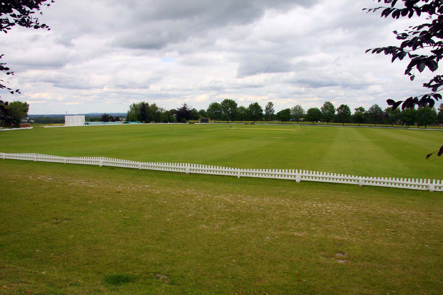
Vicarage Hill

Vicarage Hill is a cricket ground located in East Challow, Oxfordshire. Situated on the site of a park which has been in existence since the 1890s, the...

Reed Hill, Oxfordshire

Reed Hill is a 14-hectare (35-acre) biological Site of Special Scientific Interest (SSSI) west of Stonesfield in Oxfordshire. It partly overlaps Stonesfield...

Letcombe F.C.

Letcombe Football Club is a football club based in Letcombe Regis, Oxfordshire, England. They are currently member of the Hellenic League Division Two...

Vale of White Horse

The Vale of White Horse is a local government district of Oxfordshire in England. It was historically a north-west projection of Berkshire. The area is...

Nearby Amenities

Located within 500m of 51.593496,-1.4702462
West Challow
Place: village
Wikidata: Q2202582
Lat/Long: 51.5936377/-1.4717233
Post Box
Post Box Type: lamp
Lat/Long: 51.5929844/-1.473317
Old School House
Naptan AtcoCode: 340000802SH
Naptan Bearing: S
Naptan BusStopType: CUS
Naptan CommonName: Old School House
Naptan Indicator: Opposite
Naptan Landmark: Old School House
Naptan NaptanCode: oxfawjag
Naptan Street: Silver Lane
Naptan Verified: no
Source: naptan_import
Lat/Long: 51.5924395/-1.4707104
Old School House
Naptan AtcoCode: 340000802V
Naptan Bearing: N
Naptan BusStopType: CUS
Naptan CommonName: Old School House
Naptan Indicator: Outside
Naptan Landmark: Old School House
Naptan NaptanCode: oxfamwja
Naptan Street: Silver Lane
Naptan Verified: no
Source: naptan_import
Lat/Long: 51.5924759/-1.470811
Power: pole
Source: Bing
Lat/Long: 51.5909604/-1.4710591
Power: pole
Source: Bing
Lat/Long: 51.5915724/-1.4693867
Power: pole
Source: Bing
Lat/Long: 51.5933435/-1.4683207
Power: pole
Source: Bing
Lat/Long: 51.590341/-1.4727231
Power: pole
Source: Bing
Lat/Long: 51.5910069/-1.4675951
Power: pole
Source: Bing
Lat/Long: 51.5933397/-1.4690695
Power: pole
Source: Bing
Lat/Long: 51.5905774/-1.4662108
Power: pole
Source: Bing
Lat/Long: 51.5952263/-1.4667119
Power: pole
Source: Bing
Lat/Long: 51.5958402/-1.4661325
Power: pole
Source: Bing
Lat/Long: 51.596442/-1.4655645
Power: pole
Source: Bing
Lat/Long: 51.5946054/-1.4672932
Power: pole
Source: Bing
Lat/Long: 51.5939944/-1.4678539
Power: pole
Lat/Long: 51.5933343/-1.4701337
Power: pole
Lat/Long: 51.5927329/-1.4687572
Power: pole
Lat/Long: 51.5921007/-1.4691891
Power: pole
Lat/Long: 51.5918368/-1.4692849
The data included in this document is from www.openstreetmap.org. The data is made available under ODbL.

Have you been to West Challow?

Leave your review of West Challow below (or comments, questions and feedback).