West Carlton

Settlement in Yorkshire

England

West Carlton

Premier store, Oxford Road, Guiseley The name 'Guiseley Supermarket' is stretching the definition somewhat; it's one of a chain of convenience stores.
Premier store, Oxford Road, Guiseley Credit: Stephen Craven

The requested URL returned error: 429 Too Many Requests

If you have any feedback on the listing, please let us know in the comments section below.
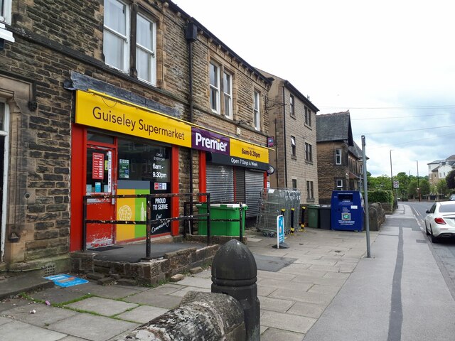
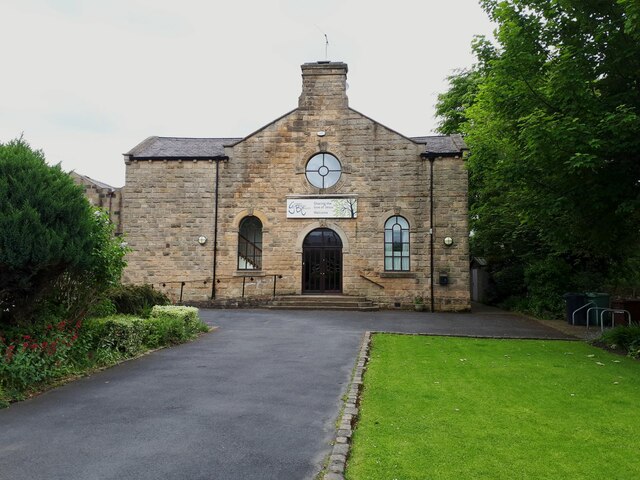
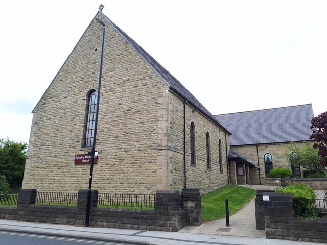
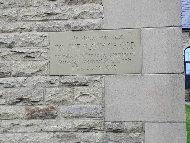
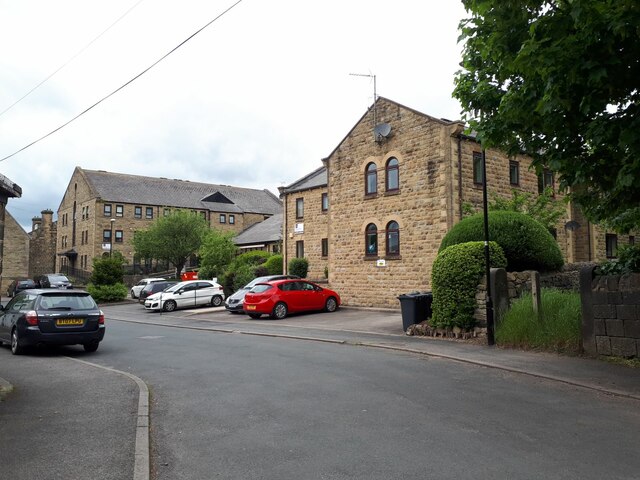
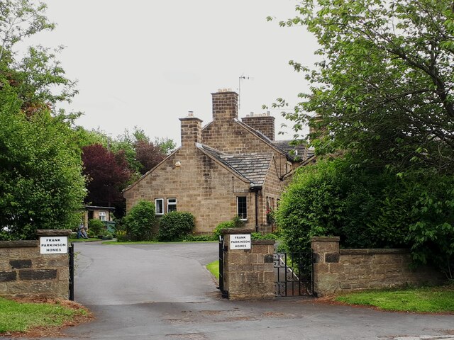
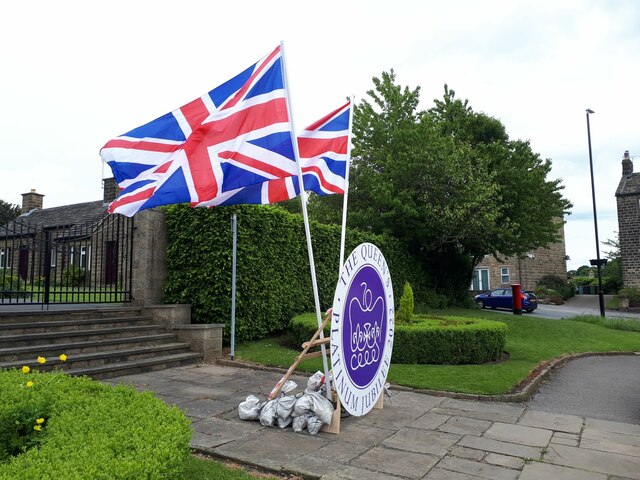
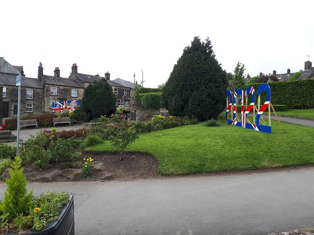
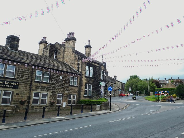
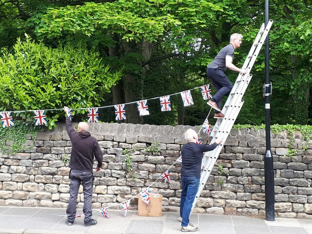
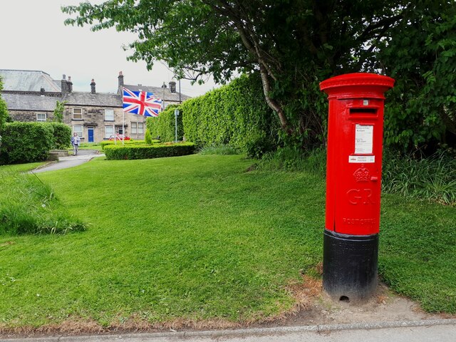
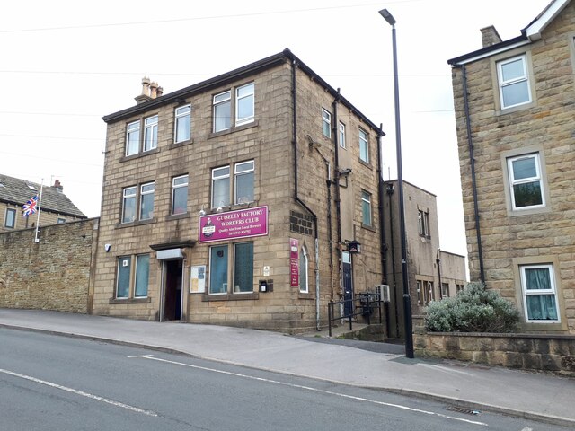
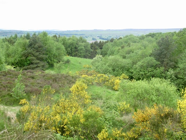
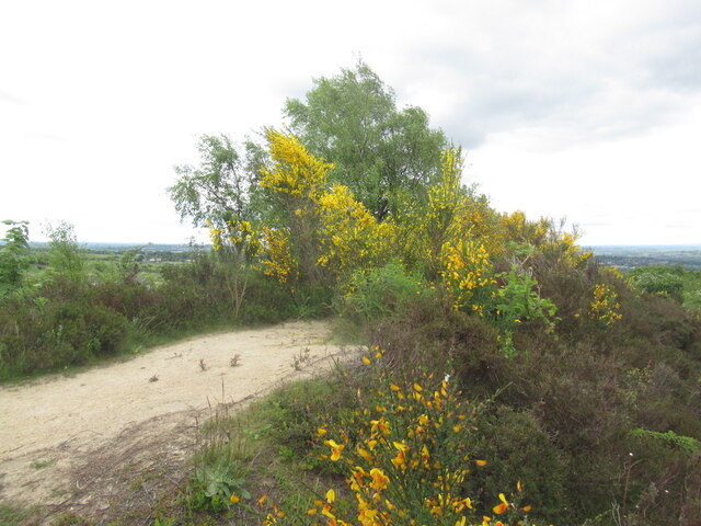
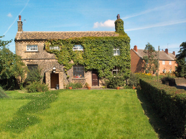
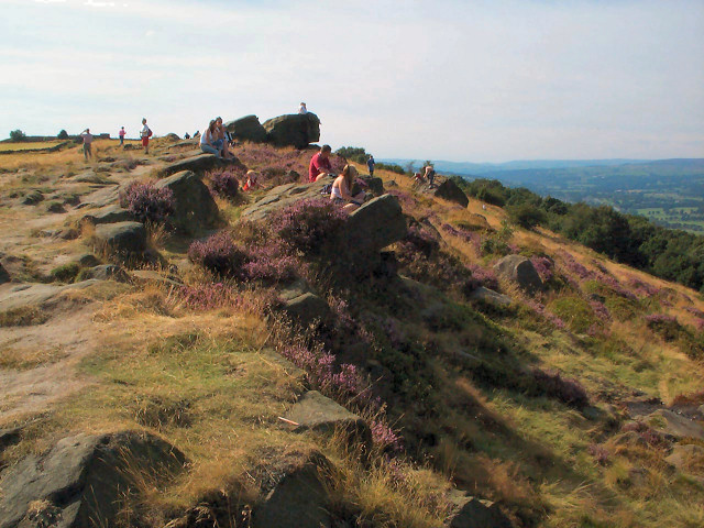
West Carlton Images

Images are sourced within 2km of 53.881875/-1.683547 or Grid Reference SE2042. Thanks to Geograph Open Source API. All images are credited.

Premier store, Oxford Road, Guiseley The name 'Guiseley Supermarket' is stretching the definition somewhat; it's one of a chain of convenience stores.
Premier store, Oxford Road, Guiseley
The name 'Guiseley Supermarket' is stretching the definition somewhat; it's one of a chain of convenience stores.
Baptist Church, Oxford Road, Guiseley Unlisted but dated by another contributor to 1883 <a href="https://www.geograph.org.uk/photo/340107">SE1942 : Baptist Chapel, Oxford Road, Guiseley</a>.
Baptist Church, Oxford Road, Guiseley
Unlisted but dated by another contributor to 1883 SE1942 : Baptist Chapel, Oxford Road, Guiseley.
Methodist Church, Oxford Road, Guiseley Originally a Wesleyan church of 1896, rebuilt in 1985/6, in a surprisingly traditional style for the time.
Methodist Church, Oxford Road, Guiseley
Originally a Wesleyan church of 1896, rebuilt in 1985/6, in a surprisingly traditional style for the time.
Methodist Church, Oxford Road, Guiseley - datestone The dedication stone was laid on 23 June 1985; see <a href="https://www.geograph.org.uk/photo/7184953">SE1942 : Methodist Church, Oxford Road, Guiseley</a> for context.
Methodist Church, Oxford Road, Guiseley - datestone
The dedication stone was laid on 23 June 1985; see SE1942 : Methodist Church, Oxford Road, Guiseley for context.
Orchard Way, Guiseley This seems to be a (social?) housing development on the site and in the grounds of the former Methodist church; the replacement church <a href="https://www.geograph.org.uk/photo/7184953">SE1942 : Methodist Church, Oxford Road, Guiseley</a> is on a slightly different footprint.
Orchard Way, Guiseley
This seems to be a (social?) housing development on the site and in the grounds of the former Methodist church; the replacement church SE1942 : Methodist Church, Oxford Road, Guiseley is on a slightly different footprint.
Frank Parkinson Homes, Guiseley A set of almshouses, built in the late 20th century but in a traditional courtyard style.  They are named after Frank Parkinson (1887-1946), an electrical engineer and philanthropist who was a major benefactor of the University of Leeds and founded what became Crompton Parkinson, a major employer in Guiseley until recent times.  He left a bequest for these almshouses which are now managed by the Anchor Housing Association.
Frank Parkinson Homes, Guiseley
A set of almshouses, built in the late 20th century but in a traditional courtyard style. They are named after Frank Parkinson (1887-1946), an electrical engineer and philanthropist who was a major benefactor of the University of Leeds and founded what became Crompton Parkinson, a major employer in Guiseley until recent times. He left a bequest for these almshouses which are now managed by the Anchor Housing Association.
Jubilee flags in Guiseley (1) Set up for the forthcoming Platinum Jubilee of Elizabeth II on 5 June 2022.
Jubilee flags in Guiseley (1)
Set up for the forthcoming Platinum Jubilee of Elizabeth II on 5 June 2022.
Jubilee flags in Guiseley (2) Set up for the forthcoming Platinum Jubilee of Elizabeth II on 5 June 2022. Here we see the dates 1952 (far side) and 2022 in Union Jack colours.
Jubilee flags in Guiseley (2)
Set up for the forthcoming Platinum Jubilee of Elizabeth II on 5 June 2022. Here we see the dates 1952 (far side) and 2022 in Union Jack colours.
Jubilee flags in Guiseley (3) Bunting on Town Gate.
Jubilee flags in Guiseley (3)
Bunting on Town Gate.
Jubilee flags in Guiseley (4) Setting up bunting along the boundary of St Oswald's churchyard. Leaning a ladder against a lamp post like this is not recommended by health and safety experts.
Jubilee flags in Guiseley (4)
Setting up bunting along the boundary of St Oswald's churchyard. Leaning a ladder against a lamp post like this is not recommended by health and safety experts.
GR postbox, Town Street, Guiseley On the edge of the war memorial gardens.
GR postbox, Town Street, Guiseley
On the edge of the war memorial gardens.
Factory Workers Club, Town Street, Guiseley Despite the name, this is in effect a public house, with a reputation for good real ale.  It formerly had the word 'Institute' in its name <a href="https://www.geograph.org.uk/photo/689051">SE1942 : Guiseley FWC & Institute - Town Street</a>, suggesting that its purpose was educational as well as recreational.
Factory Workers Club, Town Street, Guiseley
Despite the name, this is in effect a public house, with a reputation for good real ale. It formerly had the word 'Institute' in its name SE1942 : Guiseley FWC & Institute - Town Street, suggesting that its purpose was educational as well as recreational.
Coopers, Otley Road, Guiseley The name is actually written CoOPERs, hinting at the building's original purpose as a Co-Operative store.  It's now a craft ale house.
Coopers, Otley Road, Guiseley
The name is actually written CoOPERs, hinting at the building's original purpose as a Co-Operative store. It's now a craft ale house.
Inside Coopers (1) The 'butchers' style bicycle inside this bar hints at the building's original purpose as a Co-Operative store. See <a href="https://www.geograph.org.uk/photo/7184986">SE1941 : Coopers, Otley Road, Guiseley</a> for the outside.
Inside Coopers (1)
The 'butchers' style bicycle inside this bar hints at the building's original purpose as a Co-Operative store. See SE1941 : Coopers, Otley Road, Guiseley for the outside.
Inside Coopers (2) The tiling inside this bar with the image of a sheep's head is a leftover from the building's original purpose as a Co-Operative store with a butcher's counter. See <a href="https://www.geograph.org.uk/photo/7184989">SE1941 : Inside Coopers (1)</a> for the outside.
Inside Coopers (2)
The tiling inside this bar with the image of a sheep's head is a leftover from the building's original purpose as a Co-Operative store with a butcher's counter. See SE1941 : Inside Coopers (1) for the outside.
Beacon Hill, The Chevin One of the summit candidates.
Beacon Hill, The Chevin
One of the summit candidates.
Woodland, The Chevin Westward view from Beacon Hill.
Woodland, The Chevin
Westward view from Beacon Hill.
Beacon Hill, The Chevin Probable summit.
Beacon Hill, The Chevin
Probable summit.
Show me another place!

West Carlton is located at Grid Ref: SE2042 (Lat: 53.881875, Lng: -1.683547)

Division: West Riding

Unitary Authority: Leeds

Police Authority: West Yorkshire

What 3 Words

///shorts.goats.undercuts. Near Guiseley, West Yorkshire

Related Wikis

Carlton, Wharfedale

Carlton is a civil parish in the City of Leeds in West Yorkshire, England. It consists of the villages of East Carlton and West Carlton, and in 2001 had...

Aireborough

Aireborough was a local government district in the West Riding of Yorkshire, England from 1937 to 1974. It was formed through the abolition of the urban...

The Chevin

The Chevin is the ridge on the south side of Wharfedale in Leeds, West Yorkshire, England, overlooking the market town of Otley, and often known as Otley...

Yeadon, West Yorkshire

Yeadon is a town within the metropolitan borough of the City of Leeds, West Yorkshire, England. Most of the town is in the Otley and Yeadon ward of Leeds...

Nearby Amenities

Located within 500m of 53.881875,-1.683547
West Carlton
Is In Country: UK
Is In County: West Yorkshire
Is In Historic County: Yorkshire
Place: hamlet
Source: NPE
Lat/Long: 53.8827144/-1.6846735
Power: pole
Source: Bing
Lat/Long: 53.8837086/-1.6861816
Power: pole
Source: Bing
Lat/Long: 53.8841053/-1.6836013
Power: pole
Source: Bing
Lat/Long: 53.8838003/-1.6874342
Power: pole
Source: Bing
Lat/Long: 53.8841861/-1.6846098
Power: pole
Source: Bing
Lat/Long: 53.8844532/-1.685444
Power: pole
Source: Bing
Lat/Long: 53.8838982/-1.6886626
Power: pole
Source: Bing
Lat/Long: 53.8839758/-1.6898558
Power: pole
Source: Bing
Lat/Long: 53.8836074/-1.6848592
Access: no
Barrier: stile
Foot: yes
Stile: stepover
Lat/Long: 53.882421/-1.6865386
Access: no
Barrier: stile
Foot: yes
Stile: stepover
Lat/Long: 53.8824174/-1.6866651
Access: no
Barrier: stile
Foot: yes
Material: wood
Stile: stepover
Lat/Long: 53.8822532/-1.6877696
Access: no
Barrier: stile
Foot: yes
Material: wood
Stile: stepover
Lat/Long: 53.8820472/-1.6889073
Access: private
Barrier: kissing_gate
Foot: yes
Lat/Long: 53.8820859/-1.6892011
Access: private
Barrier: stile
Foot: yes
Material: wood
Stile: stepover
Lat/Long: 53.8814681/-1.6891928
Access: no
Barrier: kissing_gate
Foot: yes
Lat/Long: 53.8814984/-1.6909753
Power: pole
Lat/Long: 53.8847462/-1.6843995
Power: pole
Lat/Long: 53.8830374/-1.685086
Power: pole
Lat/Long: 53.8854106/-1.6841328
Power: pole
Lat/Long: 53.8860353/-1.6835166
Barrier: stile
Material: stone
Stile: stepover
Lat/Long: 53.8832705/-1.6902189
Guide Type: intermediary
Hiking: yes
Information: guidepost
Tourism: information
Lat/Long: 53.8814674/-1.6891268
The data included in this document is from www.openstreetmap.org. The data is made available under ODbL.

Have you been to West Carlton?

Leave your review of West Carlton below (or comments, questions and feedback).