Shaw Wood

Wood, Forest in Yorkshire

England

Shaw Wood

Otley Road (A65), Guiseley The A65 is a 69 mile long Trans-Pennine road, from Leeds to Kendal.
<span class="nowrap"><a title="http://www.sabre-roads.org.uk/wiki/index.php?title=A65" rel="nofollow ugc noopener" href="http://www.sabre-roads.org.uk/wiki/index.php?title=A65">Link</a><img style="margin-left:2px;" alt="External link" title="External link - shift click to open in new window" src="https://s1.geograph.org.uk/img/external.png" width="10" height="10"/></span>
Otley Road (A65), Guiseley Credit: habiloid

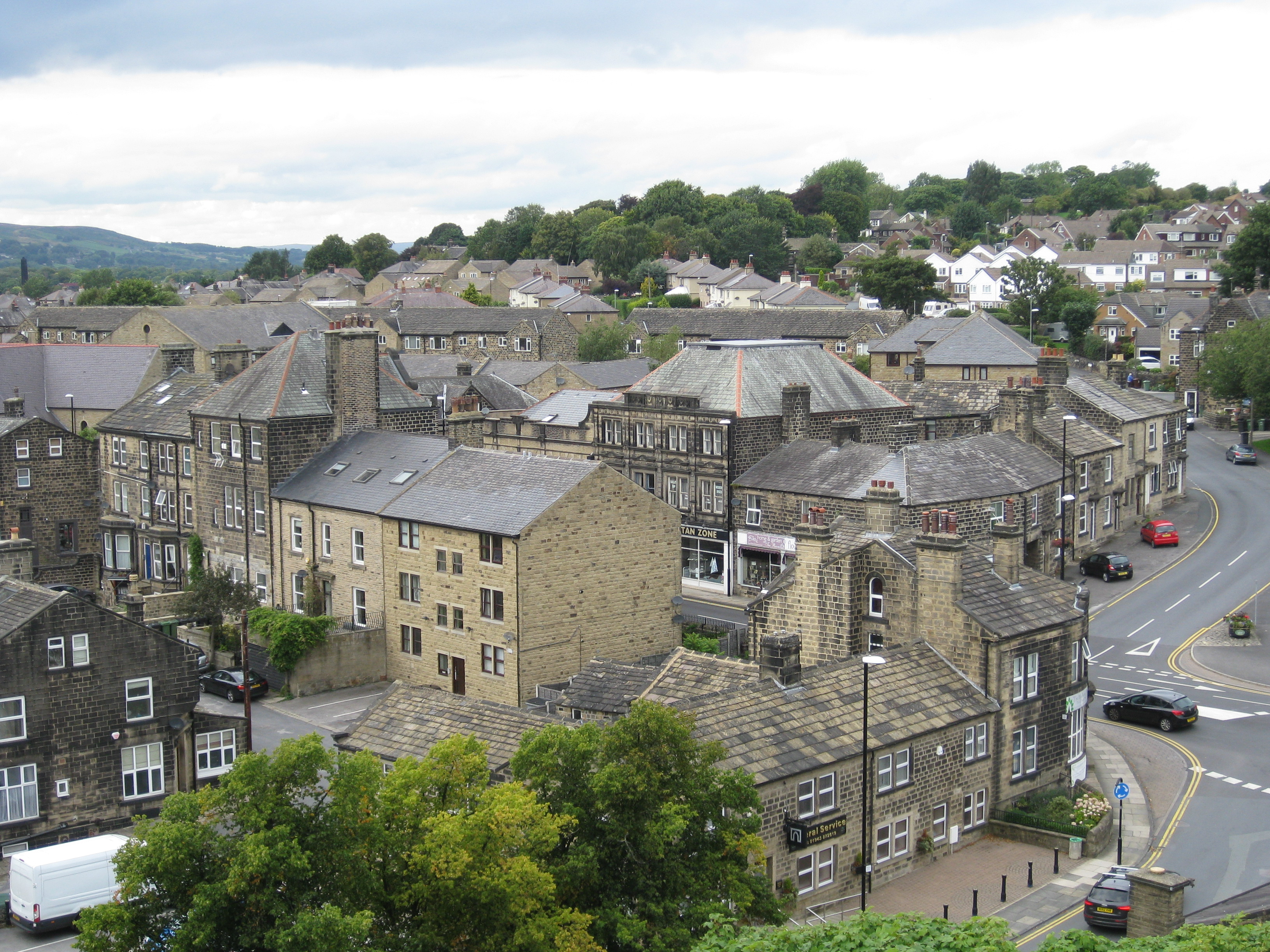
Shaw Wood is a picturesque woodland located in the county of Yorkshire, England. Covering approximately 100 acres, Shaw Wood is home to a variety of native tree species including oak, beech, and birch. The woodland is a popular destination for walkers, nature lovers, and bird watchers due to its diverse wildlife and tranquil atmosphere.

Shaw Wood is crisscrossed with a network of well-maintained footpaths, making it easy for visitors to explore the area and enjoy the natural beauty of the wood. The woodland is also home to a number of historic features, including remnants of old stone walls and the occasional abandoned building.

Visitors to Shaw Wood can expect to encounter a wide range of wildlife, including deer, foxes, and a variety of bird species. The woodland is particularly known for its population of woodpeckers and owls, making it a popular spot for birdwatchers.

Overall, Shaw Wood is a peaceful and scenic destination for those looking to escape the hustle and bustle of everyday life and immerse themselves in the natural beauty of the Yorkshire countryside.

If you have any feedback on the listing, please let us know in the comments section below.
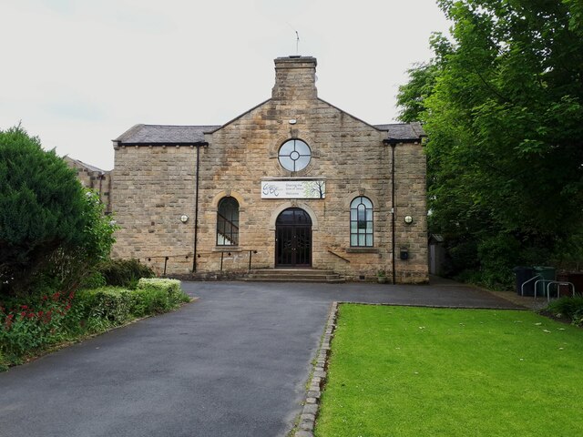
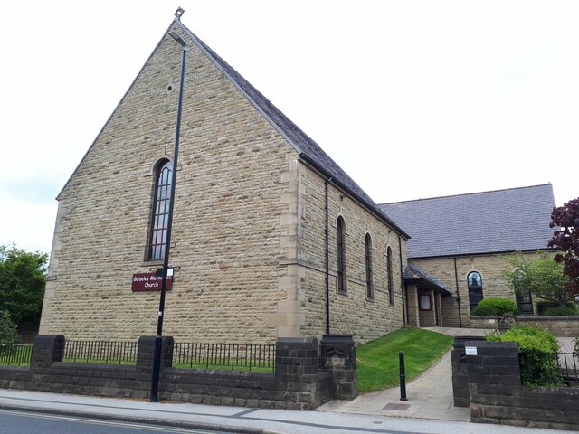
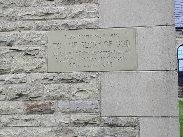
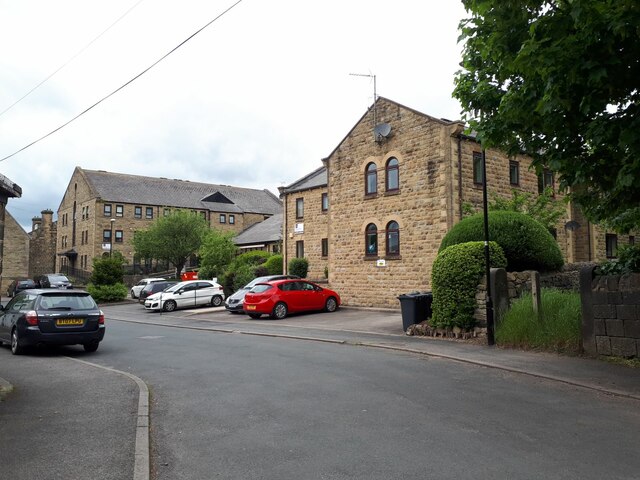
Shaw Wood Images

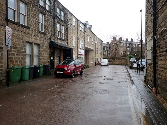
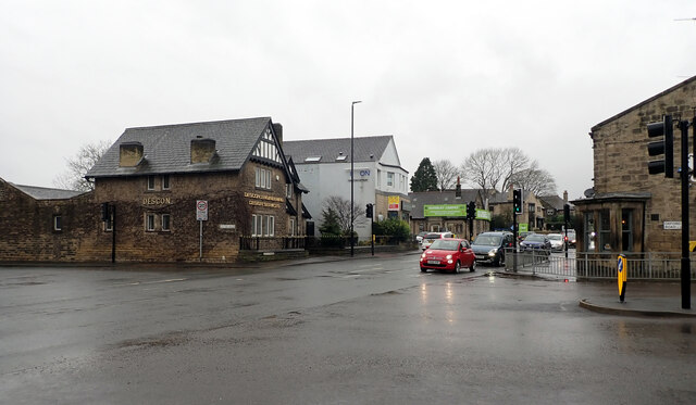
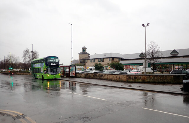
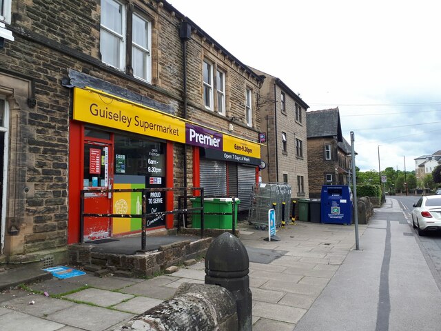
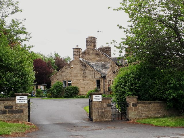
Images are sourced within 2km of 53.876693/-1.6952253 or Grid Reference SE2042. Thanks to Geograph Open Source API. All images are credited.

Otley Road (A65), Guiseley The A65 is a 69 mile long Trans-Pennine road, from Leeds to Kendal.
<span class="nowrap"><a title="http://www.sabre-roads.org.uk/wiki/index.php?title=A65" rel="nofollow ugc noopener" href="http://www.sabre-roads.org.uk/wiki/index.php?title=A65">Link</a><img style="margin-left:2px;" alt="External link" title="External link - shift click to open in new window" src="https://s1.geograph.org.uk/img/external.png" width="10" height="10"/></span>
Otley Road (A65), Guiseley
The A65 is a 69 mile long Trans-Pennine road, from Leeds to Kendal. LinkExternal link
Springfield Court, Guiseley
Junction of Victoria Road, Otley Road (A65) and Oxford Road, Guiseley The A65 is a 69 mile long Trans-Pennine road, from Leeds to Kendal.
<span class="nowrap"><a title="http://www.sabre-roads.org.uk/wiki/index.php?title=A65" rel="nofollow ugc noopener" href="http://www.sabre-roads.org.uk/wiki/index.php?title=A65">Link</a><img style="margin-left:2px;" alt="External link" title="External link - shift click to open in new window" src="https://s1.geograph.org.uk/img/external.png" width="10" height="10"/></span>
Junction of Victoria Road, Otley Road (A65) and Oxford Road, Guiseley
The A65 is a 69 mile long Trans-Pennine road, from Leeds to Kendal. LinkExternal link
Morrisons, Otley Road (A65), Guiseley The A65 is a 69 mile long Trans-Pennine road, from Leeds to Kendal.
<span class="nowrap"><a title="http://www.sabre-roads.org.uk/wiki/index.php?title=A65" rel="nofollow ugc noopener" href="http://www.sabre-roads.org.uk/wiki/index.php?title=A65">Link</a><img style="margin-left:2px;" alt="External link" title="External link - shift click to open in new window" src="https://s1.geograph.org.uk/img/external.png" width="10" height="10"/></span>
Morrisons, Otley Road (A65), Guiseley
The A65 is a 69 mile long Trans-Pennine road, from Leeds to Kendal. LinkExternal link
Premier store, Oxford Road, Guiseley The name 'Guiseley Supermarket' is stretching the definition somewhat; it's one of a chain of convenience stores.
Premier store, Oxford Road, Guiseley
The name 'Guiseley Supermarket' is stretching the definition somewhat; it's one of a chain of convenience stores.
Baptist Church, Oxford Road, Guiseley Unlisted but dated by another contributor to 1883 <a href="https://www.geograph.org.uk/photo/340107">SE1942 : Baptist Chapel, Oxford Road, Guiseley</a>.
Baptist Church, Oxford Road, Guiseley
Unlisted but dated by another contributor to 1883 SE1942 : Baptist Chapel, Oxford Road, Guiseley.
Methodist Church, Oxford Road, Guiseley Originally a Wesleyan church of 1896, rebuilt in 1985/6, in a surprisingly traditional style for the time.
Methodist Church, Oxford Road, Guiseley
Originally a Wesleyan church of 1896, rebuilt in 1985/6, in a surprisingly traditional style for the time.
Methodist Church, Oxford Road, Guiseley - datestone The dedication stone was laid on 23 June 1985; see <a href="https://www.geograph.org.uk/photo/7184953">SE1942 : Methodist Church, Oxford Road, Guiseley</a> for context.
Methodist Church, Oxford Road, Guiseley - datestone
The dedication stone was laid on 23 June 1985; see SE1942 : Methodist Church, Oxford Road, Guiseley for context.
Orchard Way, Guiseley This seems to be a (social?) housing development on the site and in the grounds of the former Methodist church; the replacement church <a href="https://www.geograph.org.uk/photo/7184953">SE1942 : Methodist Church, Oxford Road, Guiseley</a> is on a slightly different footprint.
Orchard Way, Guiseley
This seems to be a (social?) housing development on the site and in the grounds of the former Methodist church; the replacement church SE1942 : Methodist Church, Oxford Road, Guiseley is on a slightly different footprint.
Frank Parkinson Homes, Guiseley A set of almshouses, built in the late 20th century but in a traditional courtyard style.  They are named after Frank Parkinson (1887-1946), an electrical engineer and philanthropist who was a major benefactor of the University of Leeds and founded what became Crompton Parkinson, a major employer in Guiseley until recent times.  He left a bequest for these almshouses which are now managed by the Anchor Housing Association.
Frank Parkinson Homes, Guiseley
A set of almshouses, built in the late 20th century but in a traditional courtyard style. They are named after Frank Parkinson (1887-1946), an electrical engineer and philanthropist who was a major benefactor of the University of Leeds and founded what became Crompton Parkinson, a major employer in Guiseley until recent times. He left a bequest for these almshouses which are now managed by the Anchor Housing Association.
Jubilee flags in Guiseley (1) Set up for the forthcoming Platinum Jubilee of Elizabeth II on 5 June 2022.
Jubilee flags in Guiseley (1)
Set up for the forthcoming Platinum Jubilee of Elizabeth II on 5 June 2022.
Jubilee flags in Guiseley (2) Set up for the forthcoming Platinum Jubilee of Elizabeth II on 5 June 2022. Here we see the dates 1952 (far side) and 2022 in Union Jack colours.
Jubilee flags in Guiseley (2)
Set up for the forthcoming Platinum Jubilee of Elizabeth II on 5 June 2022. Here we see the dates 1952 (far side) and 2022 in Union Jack colours.
Jubilee flags in Guiseley (3) Bunting on Town Gate.
Jubilee flags in Guiseley (3)
Bunting on Town Gate.
Jubilee flags in Guiseley (4) Setting up bunting along the boundary of St Oswald's churchyard. Leaning a ladder against a lamp post like this is not recommended by health and safety experts.
Jubilee flags in Guiseley (4)
Setting up bunting along the boundary of St Oswald's churchyard. Leaning a ladder against a lamp post like this is not recommended by health and safety experts.
GR postbox, Town Street, Guiseley On the edge of the war memorial gardens.
GR postbox, Town Street, Guiseley
On the edge of the war memorial gardens.
Factory Workers Club, Town Street, Guiseley Despite the name, this is in effect a public house, with a reputation for good real ale.  It formerly had the word 'Institute' in its name <a href="https://www.geograph.org.uk/photo/689051">SE1942 : Guiseley FWC & Institute - Town Street</a>, suggesting that its purpose was educational as well as recreational.
Factory Workers Club, Town Street, Guiseley
Despite the name, this is in effect a public house, with a reputation for good real ale. It formerly had the word 'Institute' in its name SE1942 : Guiseley FWC & Institute - Town Street, suggesting that its purpose was educational as well as recreational.
Coopers, Otley Road, Guiseley The name is actually written CoOPERs, hinting at the building's original purpose as a Co-Operative store.  It's now a craft ale house.
Coopers, Otley Road, Guiseley
The name is actually written CoOPERs, hinting at the building's original purpose as a Co-Operative store. It's now a craft ale house.
Inside Coopers (1) The 'butchers' style bicycle inside this bar hints at the building's original purpose as a Co-Operative store. See <a href="https://www.geograph.org.uk/photo/7184986">SE1941 : Coopers, Otley Road, Guiseley</a> for the outside.
Inside Coopers (1)
The 'butchers' style bicycle inside this bar hints at the building's original purpose as a Co-Operative store. See SE1941 : Coopers, Otley Road, Guiseley for the outside.
Show me another place!

Shaw Wood is located at Grid Ref: SE2042 (Lat: 53.876693, Lng: -1.6952253)

Division: West Riding

Unitary Authority: Leeds

Police Authority: West Yorkshire

What 3 Words

///sniff.gladiator.rental. Near Guiseley, West Yorkshire

Related Wikis

Guiseley

Guiseley ( GHYZE-lee) is a town in metropolitan borough of the City of Leeds, West Yorkshire, England. Historically part of the West Riding of Yorkshire...

St Oswald's Church, Guiseley

St Oswald's Church in Guiseley, West Yorkshire, England, is an active Anglican parish church in the archdeaconry of Leeds and the Diocese of Leeds. �...

Guiseley Theatre

Guiseley Theatre, formerly Guiseley Town Hall, is a municipal building at The Green, Guiseley, West Yorkshire, England. The structure, which was once the...

Yeadon, West Yorkshire

Yeadon is a town within the metropolitan borough of the City of Leeds, West Yorkshire, England. Most of the town is in the Otley and Yeadon ward of Leeds...

Nearby Amenities

Located within 500m of 53.876693,-1.6952253
Post Box
Collection Times: Mo-Fr 09:00; Sa 07:00
Post Box Type: lamp
Ref: LS20 498D
Royal Cypher: EIIR
Royal Cypher Wikidata: Q33102113
Lat/Long: 53.872327/-1.6947043
Bus Stop
Queensway Ruskin Crescent
Bench: yes
Bin: no
Bus: yes
Lit: yes
Local Ref: 45016880
Naptan AtcoCode: 450016880
Naptan Bearing: W
Naptan CommonName: Queensway Ruskin Crescent
Naptan Crossing: Ruskin Crescent
Naptan Indicator: Stop 45016880
Naptan PlusbusZoneRef: LEEDS
Naptan ShortCommonName: Ruskin Crescent
Naptan Street: Queensway
Naptan Verified: no
Public Transport: platform
Shelter: yes
Source: naptan_import
Tactile Paving: no
Lat/Long: 53.8746021/-1.7010869
Bus Stop
Queensway Ruskin Crescent
Bench: no
Bin: no
Bus: yes
Lit: yes
Local Ref: 45016881
Naptan AtcoCode: 450016881
Naptan Bearing: NW
Naptan CommonName: Queensway Ruskin Crescent
Naptan Crossing: Ruskin Terrace
Naptan Indicator: Stop 45016881
Naptan PlusbusZoneRef: LEEDS
Naptan ShortCommonName: Ruskin Crescent
Naptan Street: Queensway
Naptan Verified: no
Public Transport: platform
Shelter: no
Source: naptan_import
Tactile Paving: no
Lat/Long: 53.8745198/-1.7012465
Bus Stop
Queensway Spenser Rise
Bench: yes
Bin: no
Bus: yes
Lit: yes
Local Ref: 45016882
Naptan AtcoCode: 450016882
Naptan Bearing: NW
Naptan CommonName: Queensway Spenser Rise
Naptan Crossing: Spenser Rise
Naptan Indicator: Stop 45016882
Naptan PlusbusZoneRef: LEEDS
Naptan ShortCommonName: Spenser Rise
Naptan Street: Queensway
Naptan Verified: no
Public Transport: platform
Shelter: yes
Source: naptan_import
Tactile Paving: no
Lat/Long: 53.8735083/-1.6981821
Bus Stop
Queensway Spenser Rise
Bench: yes
Bin: yes
Bus: yes
Lit: yes
Local Ref: 45016883
Naptan AtcoCode: 450016883
Naptan Bearing: SE
Naptan CommonName: Queensway Spenser Rise
Naptan Crossing: Spenser Rise
Naptan Indicator: Stop 45016883
Naptan PlusbusZoneRef: LEEDS
Naptan ShortCommonName: Spenser Rise
Naptan Street: Queensway
Naptan Verified: no
Public Transport: platform
Shelter: yes
Source: naptan_import
Tactile Paving: no
Lat/Long: 53.8735729/-1.6979487
Bus Stop
Coppice Wood Avenue Coppice Wood Close
Bench: no
Bin: no
Lit: yes
Naptan AtcoCode: 450028580
Naptan Bearing: SW
Naptan CommonName: Coppice Wood Avenue Coppice Wood Close
Naptan Crossing: Coppice Wood Close
Naptan Landmark: Unknown
Naptan PlusbusZoneRef: LEEDS
Naptan ShortCommonName: Coppice Wood Close
Naptan Street: Coppice Wood Avenue
Naptan Verified: no
Shelter: no
Source: naptan_import
Tactile Paving: no
Lat/Long: 53.8739339/-1.6934633
Bus Stop
Coppice Wood Avenue Coppice Wood Close
Bench: no
Bin: yes
Lit: yes
Naptan AtcoCode: 450028581
Naptan Bearing: NW
Naptan CommonName: Coppice Wood Avenue Coppice Wood Close
Naptan Crossing: Coppice Wood Close
Naptan Landmark: Unknown
Naptan PlusbusZoneRef: LEEDS
Naptan ShortCommonName: Coppice Wood Close
Naptan Street: Coppice Wood Avenue
Naptan Verified: no
Shelter: no
Source: naptan_import
Tactile Paving: no
Lat/Long: 53.8737155/-1.6932559
Turning Circle
Lat/Long: 53.873648/-1.6962748
Turning Circle
Lat/Long: 53.8729608/-1.6942394
Turning Circle
Lat/Long: 53.8754303/-1.6978901
Turning Circle
Lat/Long: 53.8744142/-1.6931503
Barrier: stile
Foot: yes
Material: wood
Step Count: 2
Stile: stepover
Lat/Long: 53.8789661/-1.6995667
Turning Circle
Noexit: yes
Lat/Long: 53.8745009/-1.6977679
Waste Basket
Collection Times: twice per week
Condition: GOOD
Ref UK Leedscc Bin: 7561
Waste Basket Model: METAL SQUARE
Lat/Long: 53.8735667/-1.6979176
Waste Basket
Collection Times: We; Sa
Condition: GOOD
Ref UK Leedscc Bin: 6519
Waste Basket Model: METAL SQUARE
Lat/Long: 53.87352/-1.692788
Crossing
Crossing: unmarked
Crossing Island: no
Tactile Paving: no
Lat/Long: 53.873582/-1.6984191
Crossing
Crossing: unmarked
Crossing Island: no
Tactile Paving: no
Lat/Long: 53.8734389/-1.69744
Crossing
Crossing: unmarked
Crossing Island: no
Tactile Paving: no
Lat/Long: 53.8738591/-1.698765
Crossing
Crossing: unmarked
Crossing Island: no
Tactile Paving: yes
Lat/Long: 53.8730313/-1.6912568
Crossing
Crossing: unmarked
Crossing Island: no
Tactile Paving: no
Lat/Long: 53.8740424/-1.6942492
Crossing
Crossing: unmarked
Tactile Paving: yes
Lat/Long: 53.8734096/-1.6923706
Crossing
Crossing: unmarked
Crossing Island: no
Tactile Paving: yes
Lat/Long: 53.873513/-1.6923584
Crossing
Crossing: unmarked
Crossing Island: no
Tactile Paving: no
Lat/Long: 53.87394/-1.693627
Kerb: raised
Lat/Long: 53.8735053/-1.697379
Kerb: raised
Lat/Long: 53.8739307/-1.6987006
Barrier: kerb
Kerb: flush
Tactile Paving: no
Wheelchair: yes
Lat/Long: 53.8730034/-1.6986744
Crossing
Crossing: unmarked
Crossing Island: no
Tactile Paving: no
Lat/Long: 53.8729856/-1.6985811
Barrier: kerb
Kerb: flush
Tactile Paving: no
Wheelchair: yes
Lat/Long: 53.8729624/-1.6984863
Barrier: stile
Foot: yes
Material: stone
Stile: squeezer
Lat/Long: 53.8808134/-1.6952448
Fixme: survey; continue
Lat/Long: 53.8797419/-1.6942044
Generator Method: photovoltaic
Generator Output Electricity: yes
Generator Source: solar
Generator Type: solar_photovoltaic_panel
Power: generator
Lat/Long: 53.8722557/-1.696341
Generator Method: photovoltaic
Generator Output Electricity: yes
Generator Source: solar
Generator Type: solar_photovoltaic_panel
Power: generator
Lat/Long: 53.8724018/-1.6966099
Generator Method: photovoltaic
Generator Output Electricity: yes
Generator Source: solar
Generator Type: solar_photovoltaic_panel
Power: generator
Lat/Long: 53.8724425/-1.6967303
Generator Method: photovoltaic
Generator Output Electricity: yes
Generator Source: solar
Generator Type: solar_photovoltaic_panel
Power: generator
Lat/Long: 53.8724947/-1.6968435
Generator Method: photovoltaic
Generator Output Electricity: yes
Generator Source: solar
Generator Type: solar_photovoltaic_panel
Power: generator
Lat/Long: 53.8725291/-1.6969462
Generator Method: photovoltaic
Generator Output Electricity: yes
Generator Source: solar
Generator Type: solar_photovoltaic_panel
Power: generator
Lat/Long: 53.8725625/-1.697047
Generator Method: photovoltaic
Generator Output Electricity: yes
Generator Source: solar
Generator Type: solar_photovoltaic_panel
Power: generator
Lat/Long: 53.872719/-1.6963197
Generator Method: photovoltaic
Generator Output Electricity: yes
Generator Source: solar
Generator Type: solar_photovoltaic_panel
Power: generator
Lat/Long: 53.8726459/-1.6960861
Generator Method: photovoltaic
Generator Output Electricity: yes
Generator Source: solar
Generator Type: solar_photovoltaic_panel
Power: generator
Lat/Long: 53.872686/-1.6973852
Generator Method: photovoltaic
Generator Output Electricity: yes
Generator Source: solar
Generator Type: solar_photovoltaic_panel
Power: generator
Lat/Long: 53.8727659/-1.6975904
Generator Method: photovoltaic
Generator Output Electricity: yes
Generator Source: solar
Generator Type: solar_photovoltaic_panel
Power: generator
Lat/Long: 53.8728465/-1.6976883
Generator Method: photovoltaic
Generator Output Electricity: yes
Generator Source: solar
Generator Type: solar_photovoltaic_panel
Power: generator
Lat/Long: 53.8728837/-1.6977849
Generator Method: photovoltaic
Generator Output Electricity: yes
Generator Source: solar
Generator Type: solar_photovoltaic_panel
Power: generator
Lat/Long: 53.8729469/-1.697982
Generator Method: photovoltaic
Generator Output Electricity: yes
Generator Source: solar
Generator Type: solar_photovoltaic_panel
Power: generator
Lat/Long: 53.8730734/-1.6983066
Generator Method: photovoltaic
Generator Output Electricity: yes
Generator Source: solar
Generator Type: solar_photovoltaic_panel
Power: generator
Lat/Long: 53.8733817/-1.6987986
Generator Method: photovoltaic
Generator Output Electricity: yes
Generator Source: solar
Generator Type: solar_photovoltaic_panel
Power: generator
Lat/Long: 53.8728574/-1.6990799
Disused Amenity: watering_place
Lat/Long: 53.8799723/-1.6959777
Abandoned: yes
Barrier: stile
Foot: yes
Material: stone
Stile: squeezer
Lat/Long: 53.8788614/-1.6996274
Barrier: stile
Foot: yes
Material: stone
Stile: squeezer
Lat/Long: 53.8802578/-1.6975647
Crossing
Crossing: unmarked
Crossing Island: no
Tactile Paving: no
Lat/Long: 53.8730437/-1.6986607
Barrier: kerb
Kerb: lowered
Tactile Paving: no
Wheelchair: yes
Lat/Long: 53.8730679/-1.6986535
Give Way
Direction: forward
Lat/Long: 53.8746682/-1.7016894
Queensway Ruskin Crescent
Bus: yes
Public Transport: stop_position
Lat/Long: 53.8745573/-1.7012219
Queensway Ruskin Crescent
Bus: yes
Public Transport: stop_position
Lat/Long: 53.8745325/-1.7011415
Queensway Spenser Rise
Bus: yes
Public Transport: stop_position
Lat/Long: 53.873569/-1.6981287
Queensway Spenser Rise
Bus: yes
Public Transport: stop_position
Lat/Long: 53.8735176/-1.6979617
Traffic Calming: cushion
Lat/Long: 53.8724683/-1.6950314
Traffic Calming: cushion
Lat/Long: 53.8732301/-1.6970631
Give Way
Direction: backward
Lat/Long: 53.8736157/-1.6983885
Crossing
Crossing: unmarked
Crossing Island: no
Tactile Paving: no
Lat/Long: 53.8746479/-1.7017089
Crossing
Crossing: unmarked
Crossing Island: no
Kerb: flush
Tactile Paving: yes
Traffic Calming: table
Lat/Long: 53.8741789/-1.7000386
Defibrillator
Defibrillator Location: on wall of changing rooms on Shaw Lane recreation ground facing the pitches
Emergency: defibrillator
Indoor: no
Lat/Long: 53.87414/-1.7007599
Guide Type: intermediary
Guidepost: hiking
Information: guidepost
Tourism: information
Lat/Long: 53.8799476/-1.6958863
Access: private
Addr City: Leeds
Addr Housenumber: 101
Addr Postcode: LS20 9LA
Addr Street: Queensway
Addr Suburb: Guiseley
Entrance: home
Lat/Long: 53.8725231/-1.6945691
Access: private
Addr City: Leeds
Addr Housenumber: 89
Addr Postcode: LS20 9LA
Addr Street: Queensway
Addr Suburb: Guiseley
Entrance: home
Lat/Long: 53.8727379/-1.6950789
Access: private
Addr City: Leeds
Addr Housenumber: 77
Addr Postcode: LS20 9LA
Addr Street: Queensway
Addr Suburb: Guiseley
Entrance: home
Lat/Long: 53.8728945/-1.6953813
Access: private
Addr City: Leeds
Addr Housenumber: 91
Addr Postcode: LS20 9LA
Addr Street: Queensway
Addr Suburb: Guiseley
Entrance: home
Lat/Long: 53.8726856/-1.6950307
Access: private
Addr City: Leeds
Addr Housenumber: 95
Addr Postcode: LS20 9LA
Addr Street: Queensway
Addr Suburb: Guiseley
Entrance: home
Lat/Long: 53.8726507/-1.6949229
Access: private
Addr City: Leeds
Addr Housenumber: 83
Addr Postcode: LS20 9LA
Addr Street: Queensway
Addr Suburb: Guiseley
Entrance: home
Lat/Long: 53.872813/-1.6953201
Access: private
Addr City: Leeds
Addr Housenumber: 81
Addr Postcode: LS20 9LA
Addr Street: Queensway
Addr Suburb: Guiseley
Entrance: home
Lat/Long: 53.8728548/-1.6953389
Access: private
Addr City: Leeds
Addr Housenumber: 75
Addr Postcode: LS20 9LA
Addr Street: Queensway
Addr Suburb: Guiseley
Entrance: home
Lat/Long: 53.8729308/-1.695615
Access: private
Addr City: Leeds
Addr Housenumber: 79
Addr Postcode: LS20 9LA
Addr Street: Queensway
Addr Suburb: Guiseley
Entrance: home
Lat/Long: 53.8728925/-1.6954948
Access: private
Addr City: Leeds
Addr Housenumber: 103
Addr Postcode: LS20 9LA
Addr Street: Queensway
Addr Suburb: Guiseley
Entrance: home
Lat/Long: 53.872523/-1.6946602
Access: private
Addr City: Leeds
Addr Housenumber: 85
Addr Postcode: LS20 9LA
Addr Street: Queensway
Addr Suburb: Guiseley
Entrance: home
Lat/Long: 53.8727701/-1.6950773
Access: private
Addr City: Leeds
Addr Housenumber: 87
Addr Postcode: LS20 9LA
Addr Street: Queensway
Addr Suburb: Guiseley
Entrance: home
Lat/Long: 53.8727681/-1.695178
Access: private
Addr City: Leeds
Addr Housenumber: 97
Addr Postcode: LS20 9LA
Addr Street: Queensway
Addr Suburb: Guiseley
Entrance: home
Lat/Long: 53.8726109/-1.6948178
Access: private
Addr City: Leeds
Addr Housenumber: 99
Addr Postcode: LS20 9LA
Addr Street: Queensway
Addr Suburb: Guiseley
Entrance: home
Lat/Long: 53.8725678/-1.6948011
Access: private
Addr City: Leeds
Addr Housenumber: 93
Addr Postcode: LS20 9LA
Addr Street: Queensway
Addr Suburb: Guiseley
Entrance: home
Lat/Long: 53.872652/-1.6948242
Access: private
Addr City: Leeds
Addr Housenumber: 73
Addr Postcode: LS20 9LA
Addr Street: Queensway
Addr Suburb: Guiseley
Entrance: home
Lat/Long: 53.8729771/-1.6956375
Barrier: kerb
Kerb: raised
Tactile Paving: no
Wheelchair: yes
Lat/Long: 53.8730705/-1.6990588
Barrier: kerb
Kerb: lowered
Tactile Paving: no
Wheelchair: yes
Lat/Long: 53.8732175/-1.6986948
Barrier: kerb
Kerb: raised
Tactile Paving: no
Wheelchair: yes
Lat/Long: 53.8730174/-1.6993674
Addr Housenumber: 11
Addr Street: Coppice Wood Avenue
Entrance: yes
Lat/Long: 53.8738088/-1.6972748
Addr Housenumber: 37
Addr Street: Queensway
Entrance: yes
Lat/Long: 53.8737434/-1.6980038
Addr Housenumber: 45
Addr Street: Queensway
Entrance: yes
Lat/Long: 53.8736516/-1.6977086
Addr Housenumber: 31
Addr Street: Coppice Wood Avenue
Entrance: yes
Lat/Long: 53.874248/-1.6968758
Addr Housenumber: 33
Addr Street: Queensway
Entrance: yes
Lat/Long: 53.8738302/-1.6982571
Addr Housenumber: 41
Addr Street: Queensway
Entrance: yes
Lat/Long: 53.8737331/-1.6979693
Addr Housenumber: 25
Addr Street: Coppice Wood Avenue
Entrance: yes
Lat/Long: 53.8741504/-1.6970444
Addr Housenumber: 15
Addr Street: Coppice Wood Avenue
Entrance: yes
Lat/Long: 53.873916/-1.6971788
Addr Housenumber: 1
Addr Street: Coppice Wood Avenue
Entrance: yes
Lat/Long: 53.8736427/-1.6975167
Addr Housenumber: 9
Addr Street: Coppice Wood Avenue
Entrance: yes
Lat/Long: 53.8738083/-1.6973554
Addr Housenumber: 35
Addr Street: Queensway
Entrance: yes
Lat/Long: 53.8737853/-1.6982643
Addr Housenumber: 5
Addr Street: Coppice Wood Avenue
Entrance: yes
Lat/Long: 53.8737917/-1.6973736
Addr Housenumber: 3
Addr Street: Coppice Wood Avenue
Entrance: yes
Lat/Long: 53.8736472/-1.6974257
Addr Housenumber: 43
Addr Street: Queensway
Entrance: yes
Lat/Long: 53.8736898/-1.6979669
Addr Housenumber: 27
Addr Street: Coppice Wood Avenue
Entrance: yes
Lat/Long: 53.8741451/-1.6969717
Addr Housenumber: 23
Addr Street: Coppice Wood Avenue
Entrance: yes
Lat/Long: 53.874082/-1.6970285
Addr Housenumber: 7
Addr Street: Coppice Wood Avenue
Entrance: yes
Lat/Long: 53.873748/-1.6973347
Addr Housenumber: 17
Addr Street: Coppice Wood Avenue
Entrance: yes
Lat/Long: 53.8739769/-1.6971981
Addr Housenumber: 29
Addr Street: Coppice Wood Avenue
Entrance: yes
Lat/Long: 53.8742994/-1.6969014
Addr Housenumber: 47
Addr Street: Queensway
Entrance: yes
Lat/Long: 53.8736328/-1.6977848
Addr Housenumber: 39
Addr Street: Queensway
Entrance: yes
Lat/Long: 53.8737265/-1.6980788
Addr Housenumber: 19
Addr Street: Coppice Wood Avenue
Entrance: yes
Lat/Long: 53.8739836/-1.697114
Addr Housenumber: 21
Addr Street: Coppice Wood Avenue
Entrance: yes
Lat/Long: 53.874125/-1.6970582
Addr Housenumber: 13
Addr Street: Coppice Wood Avenue
Entrance: yes
Lat/Long: 53.8739591/-1.6972131
Shaw Lane
Place: suburb
Lat/Long: 53.8736856/-1.6939568
Addr Housenumber: 64
Addr Street: Coppice Wood Grove
Entrance: yes
Lat/Long: 53.873954/-1.6945083
Addr Housenumber: 62
Addr Street: Coppice Wood Grove
Entrance: yes
Lat/Long: 53.8738403/-1.6946096
Addr Housenumber: 63
Addr Street: Coppice Wood Grove
Entrance: yes
Lat/Long: 53.8739976/-1.694551
Addr Housenumber: 61
Addr Street: Coppice Wood Grove
Entrance: yes
Lat/Long: 53.8738465/-1.6946853
Crossing: informal
Lat/Long: 53.8735068/-1.6947651
Barrier: kerb
Kerb: raised
Tactile Paving: no
Lat/Long: 53.8734958/-1.6947324
Barrier: kerb
Kerb: raised
Tactile Paving: no
Lat/Long: 53.8735178/-1.6947978
Turning Circle
Lat/Long: 53.8770431/-1.7013317
The data included in this document is from www.openstreetmap.org. The data is made available under ODbL.

Have you been to Shaw Wood?

Leave your review of Shaw Wood below (or comments, questions and feedback).