West Brunton
Settlement in Northumberland
England
West Brunton
West Brunton is a picturesque village located in the county of Northumberland, in the northeast of England. Situated just a few miles north of the bustling city of Newcastle upon Tyne, West Brunton offers residents and visitors a tranquil and idyllic setting surrounded by rural landscapes.
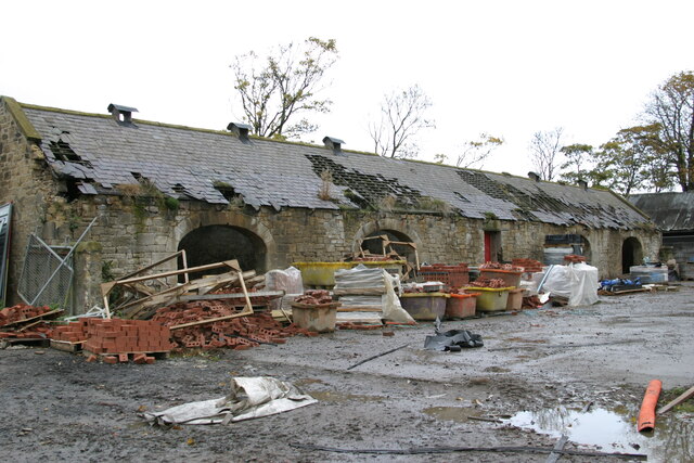
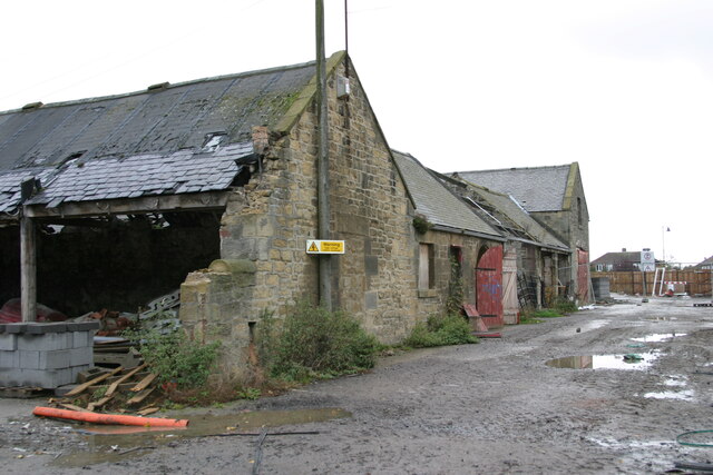
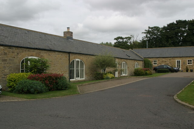
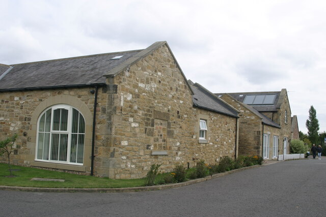
The village is characterized by its charming traditional stone-built houses and cottages, which give it a quintessential English countryside feel. The nearby rolling hills and vast open fields provide ample opportunities for outdoor activities such as hiking, cycling, and horse riding.
In terms of amenities, West Brunton boasts a friendly community atmosphere with a local pub, The Brunton Arms, serving as a popular gathering spot for locals and visitors alike. The pub offers a warm and welcoming ambiance along with a variety of traditional British cuisine and a selection of fine ales.
For those seeking a taste of history, the nearby Brunton Castle ruins are a must-visit attraction. These ancient remains, dating back to the 14th century, offer a glimpse into the area's rich heritage.
Despite its rural setting, West Brunton is conveniently located close to major transport links, making it easily accessible for both residents and tourists. The village is well-connected to the A1 road, providing easy access to nearby towns and cities.
Overall, West Brunton is a charming village that offers a peaceful retreat from the hustle and bustle of city life, while still providing convenient access to modern amenities and attractions.
If you have any feedback on the listing, please let us know in the comments section below.
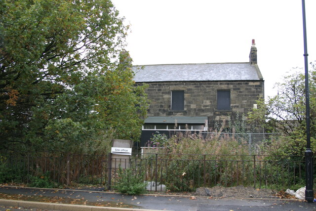
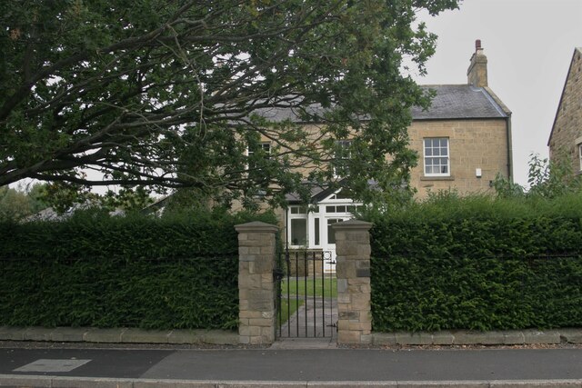
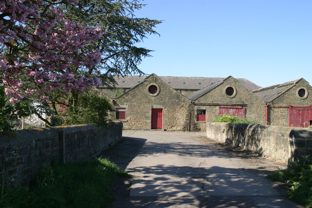
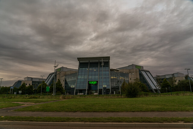
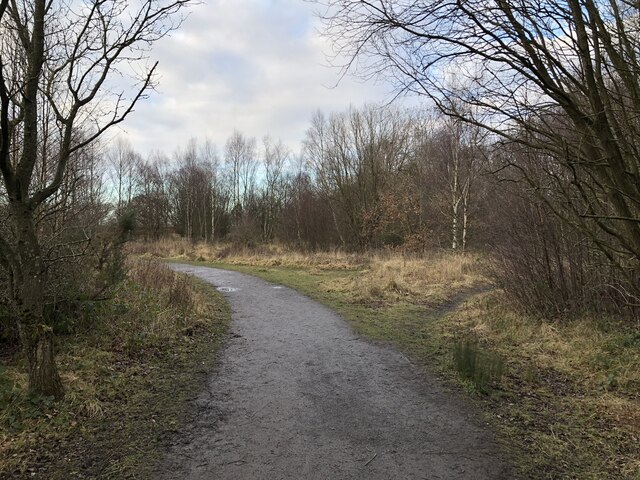
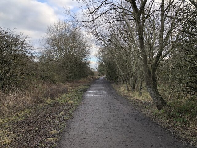
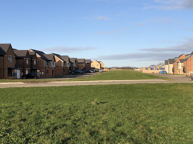
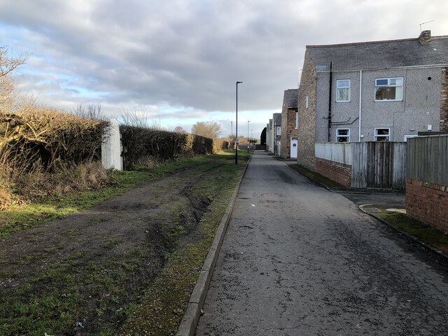
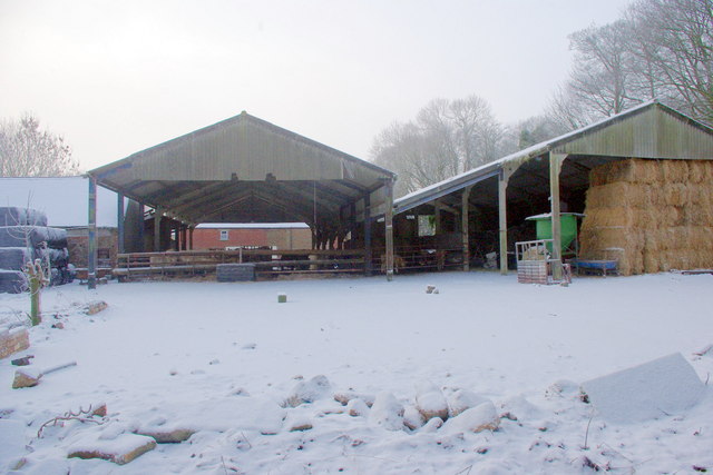
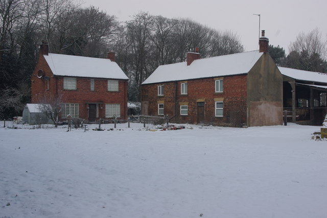
West Brunton Images
Images are sourced within 2km of 55.032174/-1.660467 or Grid Reference NZ2170. Thanks to Geograph Open Source API. All images are credited.
West Brunton is located at Grid Ref: NZ2170 (Lat: 55.032174, Lng: -1.660467)
Unitary Authority: Newcastle upon Tyne
Police Authority: Northumbria
What 3 Words
///riding.pulled.cheeks. Near Hazlerigg, Tyne & Wear
Nearby Locations
Related Wikis

Havannah Nature Reserve
Havannah Nature Reserve lies to the west of the village of Hazlerigg, approximately five miles north of the centre of Newcastle upon Tyne in the north...

Newcastle Great Park
Newcastle Great Park is a new suburb in the north of Newcastle upon Tyne, England. Much of Newcastle Great Park is still under development and is sandwiched...
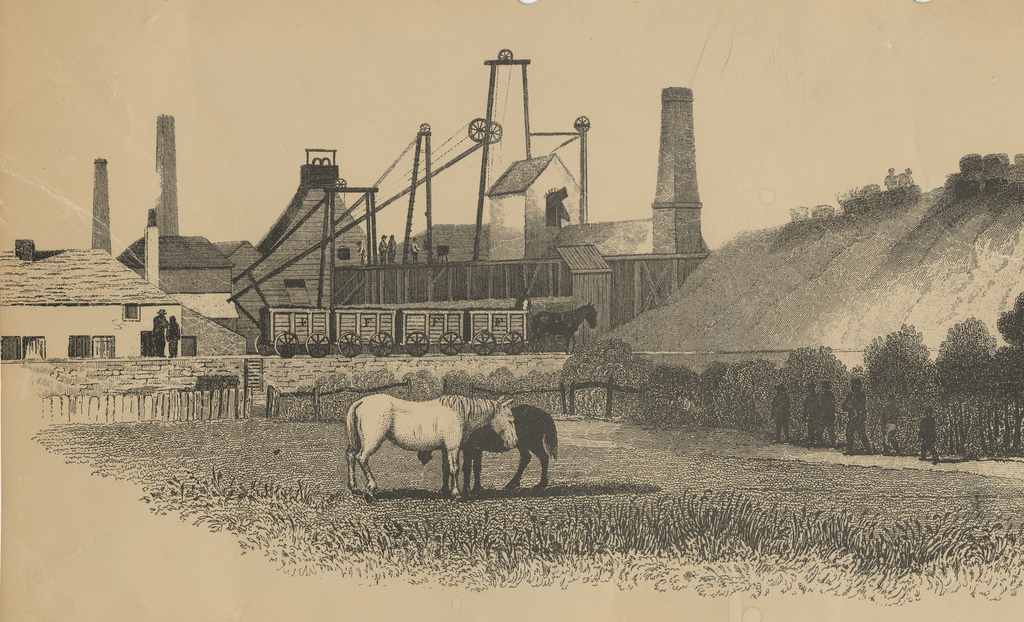
Fawdon Wagonway
The Fawdon Wagonway was from 1818 to 1826 a 1 mile 3 furlongs (2.2 km) long horse-drawn and partially rope-operated industrial railway in Fawdon near Newcastle...

Red House Farm
Red House Farm is a residential area of Newcastle upon Tyne, about 4 miles (6 km) north west of the city centre. It is bordered by Fawdon to the south...

Kingston Park (stadium)
Kingston Park is a multi-purpose stadium in Kingston Park, Newcastle upon Tyne, England. It is used mostly for rugby union and rugby league matches and...

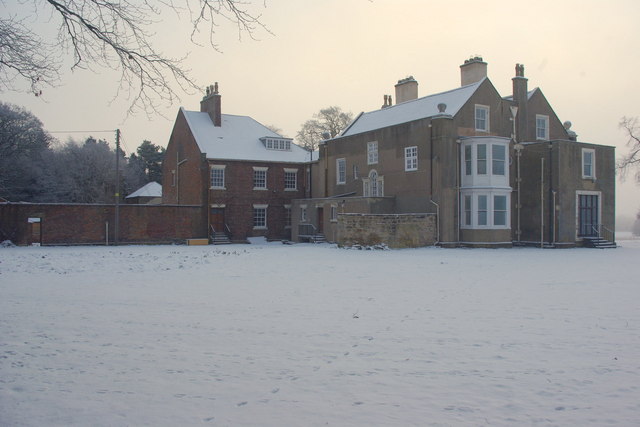
Woolsington Hall
Woolsington Hall is a Grade II* listed country house in a 92-acre (37 ha) estate, in the village of Woolsington, in the city of Newcastle, England, north...

Parklands, Newcastle upon Tyne
Parklands is an electoral ward of Newcastle upon Tyne in North East England. It encompasses the northern edge of the suburb of Gosforth, north of the Metro...
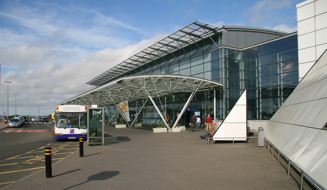
Newcastle International Airport
Newcastle International Airport (IATA: NCL, ICAO: EGNT) is an international airport in Newcastle upon Tyne, England. Located approximately 7.7 mi (12.4...
Nearby Amenities
Located within 500m of 55.032174,-1.660467Have you been to West Brunton?
Leave your review of West Brunton below (or comments, questions and feedback).