West Bretton

Settlement in Yorkshire

England

West Bretton

The view from Woolley Edge Looking over Savin Royd Wood and the Dearne Valley. On the skyline are the Emley Moor television masts.
The view from Woolley Edge Credit: Graham Hogg

West Bretton is a charming village located in the county of Yorkshire, England. Situated approximately 10 miles southeast of the city of Wakefield, West Bretton is nestled amidst picturesque countryside and boasts a population of around 1,000 residents.

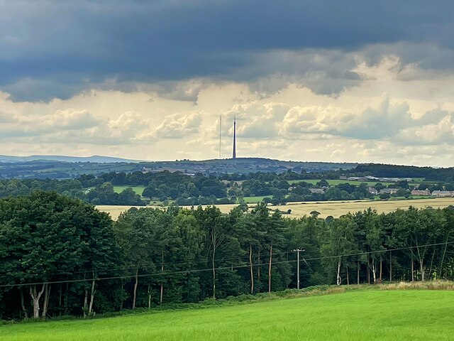
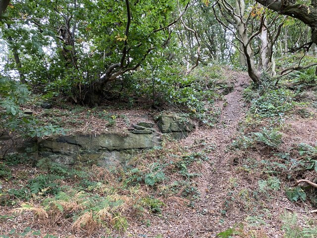
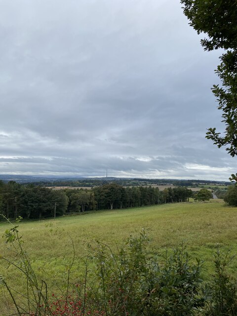
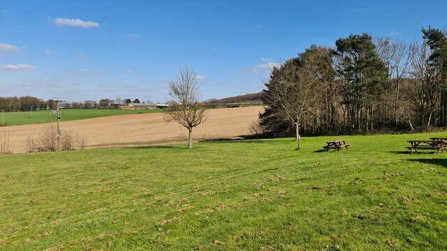
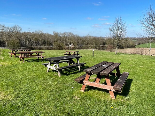
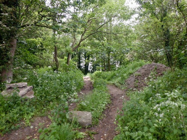
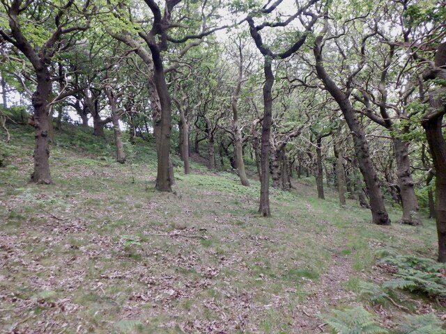
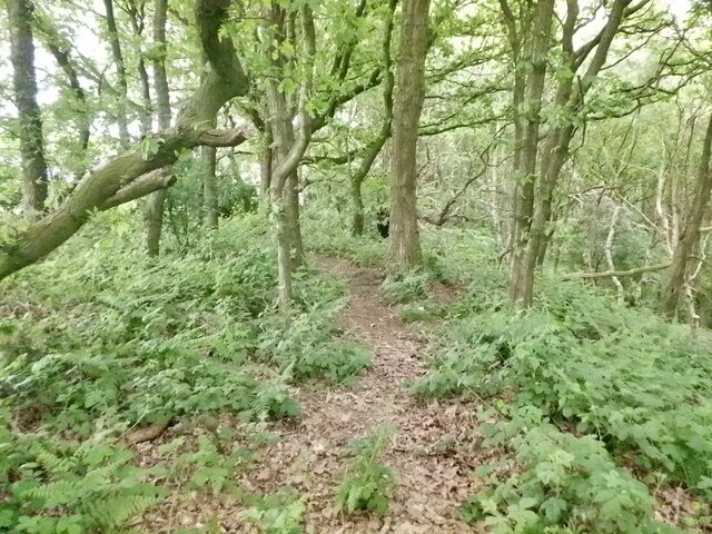
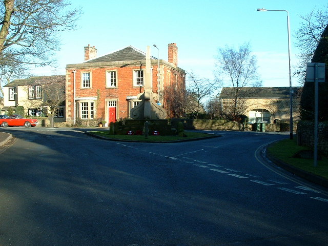
The village is renowned for its rural beauty, with rolling hills, lush green fields, and meandering streams that create a tranquil and idyllic setting. One of the most notable landmarks in West Bretton is Bretton Hall, a historic Georgian mansion that has been converted into a renowned arts and heritage center. The hall offers a range of cultural experiences, including art exhibitions, concerts, and theater performances.

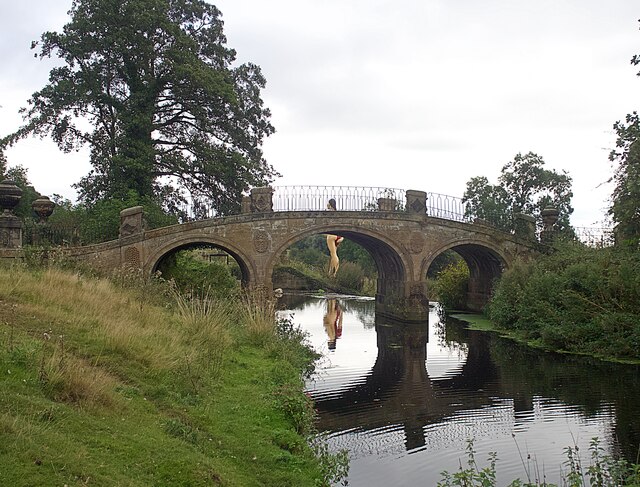
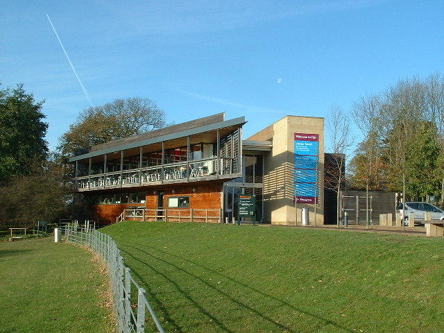
In addition to its stunning natural landscapes and cultural offerings, West Bretton is home to the Yorkshire Sculpture Park, one of the country's leading open-air galleries. This unique attraction features an extensive collection of contemporary sculptures displayed across 500 acres of parkland. Visitors can explore the sculptures while enjoying the park's beautiful gardens, woodlands, and lakes.

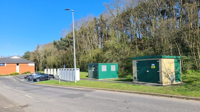
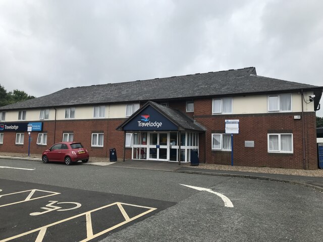
The village also offers a range of amenities to cater to both residents and visitors. These include a primary school, village hall, and a handful of local shops and pubs. West Bretton's close proximity to Wakefield provides easy access to further amenities and services, including shopping centers, hospitals, and transport links.

Overall, West Bretton is a delightful village that combines natural beauty, cultural heritage, and a strong sense of community. Its peaceful surroundings and diverse attractions make it a popular destination for both locals and tourists seeking a retreat from the hustle and bustle of city life.

If you have any feedback on the listing, please let us know in the comments section below.
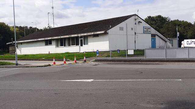
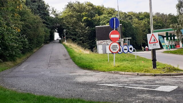
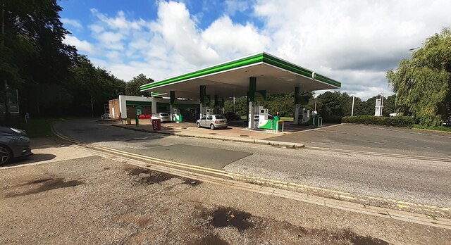
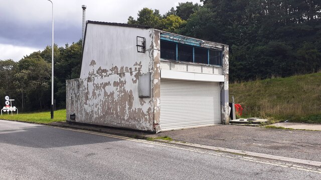
West Bretton Images

Images are sourced within 2km of 53.618951/-1.5669362 or Grid Reference SE2813. Thanks to Geograph Open Source API. All images are credited.

The view from Woolley Edge Looking over Savin Royd Wood and the Dearne Valley. On the skyline are the Emley Moor television masts.
The view from Woolley Edge
Looking over Savin Royd Wood and the Dearne Valley. On the skyline are the Emley Moor television masts.
One of a myriad of paths on the way to Woolley Edge Trig Point
Woolley Edge Trig Point Flush Bracket S1785
View from Woolley Edge View Point
Charging station at Woolley Edge Services
Looking towards Woolley Moor House From Woolley Edge Services
Looking towards Woolley Moor House
From Woolley Edge Services
Outdoor seating at Woolley Edge Services
Woodland, Woolley Low Moor Lane Unsure if masonry is due to tipping or a local ruin.
Woodland, Woolley Low Moor Lane
Unsure if masonry is due to tipping or a local ruin.
Beacon Hill Plantation Oaks on a gritstone scarp.
Beacon Hill Plantation
Oaks on a gritstone scarp.
Woolley Edge triangulation pillar
Woodland, Beacon Hill Summit area near the triangulation pillar.
Woodland, Beacon Hill
Summit area near the triangulation pillar.
Entrance to Woolley Edge Motorway Southbound Services
Building on south side of Woolley Edge Services
Minor access road from Bramley Lane into Woolley Edge motorway services
Fuel station at Woolley Edge motorway services (southbound)
Old building at Woolley Edge motorway services
Travelodge, Woolley Edge services
Footbridge in Bretton Country Park The bridge crosses the River Dearne in the Yorkshire Sculpture Park. Reflected in the river is the Damien Hirst sculpture 'The Virgin Mother' <a href="https://www.geograph.org.uk/photo/6280522">SE2912 : 'The Virgin Mother'</a>
Footbridge in Bretton Country Park
The bridge crosses the River Dearne in the Yorkshire Sculpture Park. Reflected in the river is the Damien Hirst sculpture 'The Virgin Mother' SE2912 : 'The Virgin Mother'
Show me another place!

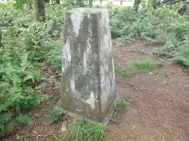
West Bretton is located at Grid Ref: SE2813 (Lat: 53.618951, Lng: -1.5669362)

Division: West Riding

Unitary Authority: Wakefield

Police Authority: West Yorkshire

What 3 Words

///finalists.jazz.showcase. Near Crigglestone, West Yorkshire

Related Wikis

West Bretton

West Bretton is a village and civil parish near Wakefield, West Yorkshire, England. It lies close to junction 38 of the M1 motorway at Haigh. It has a...

Yorkshire Sculpture Park

The Yorkshire Sculpture Park (YSP) is an art gallery, with both open-air and indoor exhibition spaces, in West Bretton, Wakefield, in West Yorkshire, England...

St Bartholomew's Chapel, West Bretton

St Bartholomew's Chapel is a former estate church in the grounds of Bretton Hall, in West Bretton near Wakefield in West Yorkshire, England. The redundant...

Bretton Hall College of Education

Bretton Hall College of Education was a higher education college in West Bretton in the West Riding of Yorkshire, England. It opened as a teacher training...

Nearby Amenities

Located within 500m of 53.618951,-1.5669362
West Bretton
Is In: West Yorkshire, England, UK
Place: village
Wikidata: Q2668038
Wikipedia: en:West Bretton
Lat/Long: 53.6199425/-1.5648379
Bus Stop
Archway Lodge
Ref: 45025856
Lat/Long: 53.6151724/-1.5629802
Bus Stop
Bretton Lane Post Office
Local Ref: 45016980
Naptan AtcoCode: 450016980
Naptan Bearing: E
Naptan CommonName: Bretton Lane Post Office
Naptan Indicator: Stop 45016980
Naptan Landmark: Post Office ( Defunct)
Naptan PlusbusZoneRef: LEEDS
Naptan ShortCommonName: Maltkiln Farm
Naptan Street: Bretton Lane
Naptan Verified: no
Source: naptan_import
Lat/Long: 53.6205331/-1.5626671
Bus Stop
Sycamore Lane Bretton Lane
Local Ref: 45016981
Naptan AtcoCode: 450016981
Naptan Bearing: SW
Naptan CommonName: Sycamore Lane Bretton Lane
Naptan Crossing: Bretton Lane
Naptan Indicator: Stop 45016981
Naptan PlusbusZoneRef: LEEDS
Naptan ShortCommonName: Bretton Lane
Naptan Street: Sycamore Lane
Naptan Verified: no
Source: naptan_import
Lat/Long: 53.6193861/-1.5661108
Bus Stop
Huddersfield Road Bretton Lane
Local Ref: 45016989
Naptan AtcoCode: 450016989
Naptan Bearing: NW
Naptan CommonName: Huddersfield Road Bretton Lane
Naptan Crossing: Bretton Lane
Naptan Indicator: Stop 45016989
Naptan Landmark: Infant School
Naptan PlusbusZoneRef: LEEDS
Naptan ShortCommonName: Bretton Lane
Naptan Street: Huddersfield Road
Naptan Verified: no
Source: naptan_import
Lat/Long: 53.6207714/-1.5689087
Bus Stop
Huddersfield Road Bretton Lane
Local Ref: 45016990
Naptan AtcoCode: 450016990
Naptan Bearing: SE
Naptan CommonName: Huddersfield Road Bretton Lane
Naptan Crossing: Bretton Lane
Naptan Indicator: Stop 45016990
Naptan PlusbusZoneRef: LEEDS
Naptan ShortCommonName: Bretton Lane
Naptan Street: Huddersfield Road
Naptan Verified: no
Source: naptan_import
Lat/Long: 53.6212042/-1.5692822
Bus Stop
Sycamore Lane Bretton Lane
Local Ref: 45026391
Naptan AtcoCode: 450026391
Naptan Bearing: NE
Naptan CommonName: Sycamore Lane Bretton Lane
Naptan Crossing: Bretton Lane
Naptan Indicator: Stop 45026391
Naptan PlusbusZoneRef: LEEDS
Naptan ShortCommonName: Bretton Lane
Naptan Street: Sycamore Lane
Naptan Verified: no
Source: naptan_import
Lat/Long: 53.6194586/-1.5662915
Bretton Lane Post Office
Local Ref: 45050478
Naptan AtcoCode: 450050478
Naptan Bearing: W
Naptan BusStopType: CUS
Naptan CommonName: Bretton Lane Post Office
Naptan Indicator: Stop 45050478
Naptan PlusbusZoneRef: LEEDS
Naptan ShortCommonName: Bretton Lane PO
Naptan Street: Bretton Lane
Naptan Verified: no
Source: naptan_import
Lat/Long: 53.6204342/-1.562653
Turning Circle
Lat/Long: 53.6209111/-1.567024
Power: pole
Source: Bing
Lat/Long: 53.6217452/-1.5716065
Power: pole
Source: Bing
Lat/Long: 53.6222142/-1.570273
Power: pole
Source: Bing
Lat/Long: 53.6227865/-1.568591
Post Box
Operator: Royal Mail
Post Box Type: lamp
Ref: WF4 51
Lat/Long: 53.6183025/-1.5670457
Molecule Man 1+1+1
Artist Name: Jonathan Borofsky
Artwork Type: sculpture
Fixme: Location approx, probably within 30m
Tourism: artwork
Website: http://www.ysp.co.uk/whats-on/open-air/jonathan-borofsky
Lat/Long: 53.6154194/-1.563379
War Memorial
Historic: monument
Lat/Long: 53.6179584/-1.5670261
Post Office
West Bretton Mobile Post Office
Brand: Post Office
Brand Wikidata: Q1783168
Brand Wikipedia: en:Post Office Ltd
Contact Website: https://www.postoffice.co.uk/branch-finder/7263236/bretton-mobile-service
Opening Hours: Th 13:30-14:30
Operator: Kirkburton Post Office
Lat/Long: 53.6199096/-1.5675764
Defibrillator
Access: yes
Defibrillator Location: On outside wall.
Emergency: defibrillator
Indoor: no
Lat/Long: 53.6199191/-1.5673373
Post Box
Post Box Type: lamp
Lat/Long: 53.6200661/-1.5670604
The data included in this document is from www.openstreetmap.org. The data is made available under ODbL.

Have you been to West Bretton?

Leave your review of West Bretton below (or comments, questions and feedback).