Bretton, West
Settlement in Yorkshire
England
Bretton, West
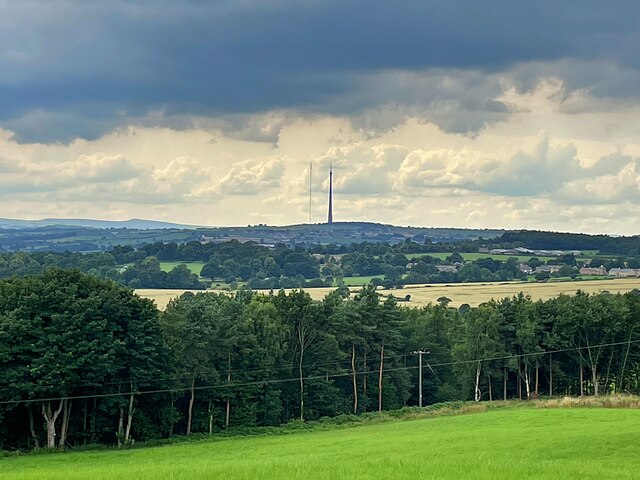
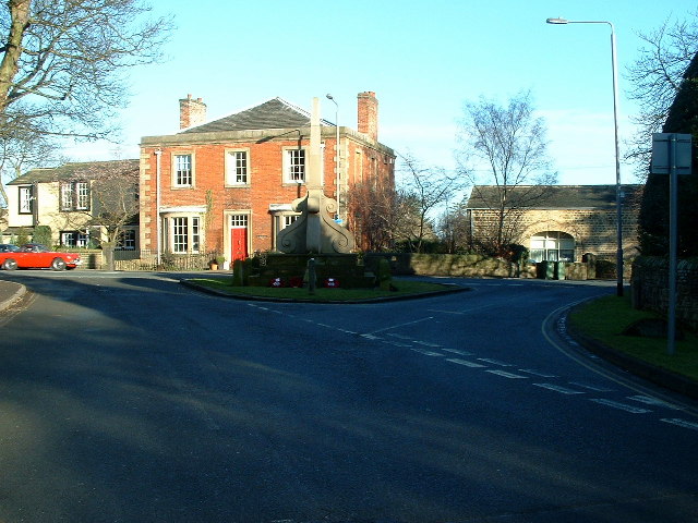
Bretton is a small village located in the county of West Yorkshire, England. Situated approximately 5 miles southeast of the city of Wakefield, Bretton is nestled in the beautiful countryside of the Pennines, offering stunning views and a tranquil atmosphere.
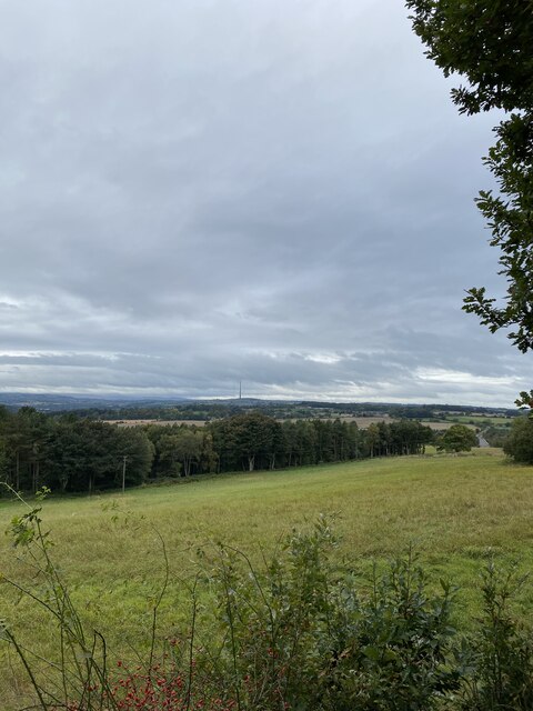
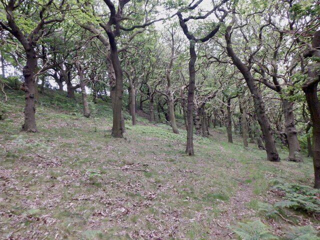
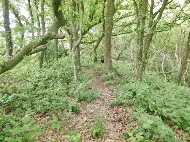
The village is known for its charming rural character and is surrounded by rolling hills, lush green fields, and picturesque woodlands. It is primarily a residential area, with a small population of around 500 residents. The community in Bretton is close-knit, and the village has a strong sense of community spirit.
Despite its small size, Bretton has a few amenities to offer its residents and visitors. There is a local pub, The Bretton Arms, which serves as a popular meeting place for locals. Additionally, the village is home to a primary school, providing education for the younger residents.
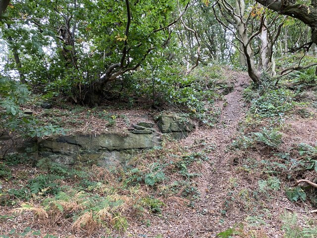
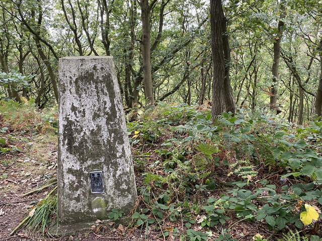
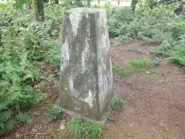
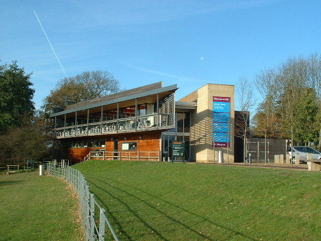
For those seeking outdoor activities, Bretton boasts several walking trails and nature reserves nearby, including the Bretton Country Park. This park offers visitors a chance to explore the stunning surrounding countryside and enjoy various recreational activities such as hiking, picnicking, and wildlife spotting.
Transportation in Bretton is primarily reliant on private vehicles, as the village lacks direct access to major public transport links. However, the nearby city of Wakefield provides train and bus services, connecting residents to larger cities and towns in the region.
Overall, Bretton is a peaceful and picturesque village that offers a rural retreat within close proximity to larger urban areas. Its natural beauty and strong sense of community make it an attractive place to live for those seeking a slower pace of life in West Yorkshire.
If you have any feedback on the listing, please let us know in the comments section below.
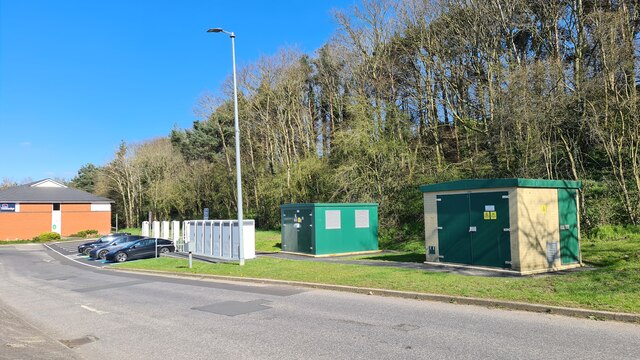
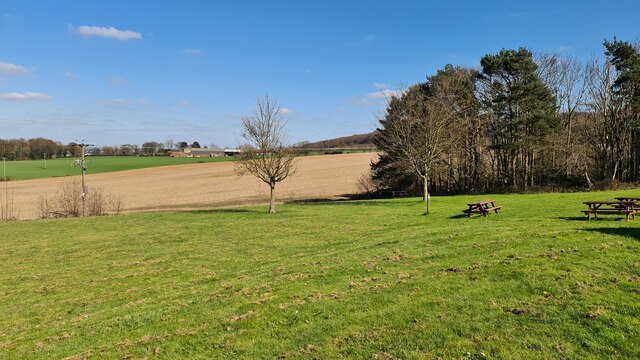
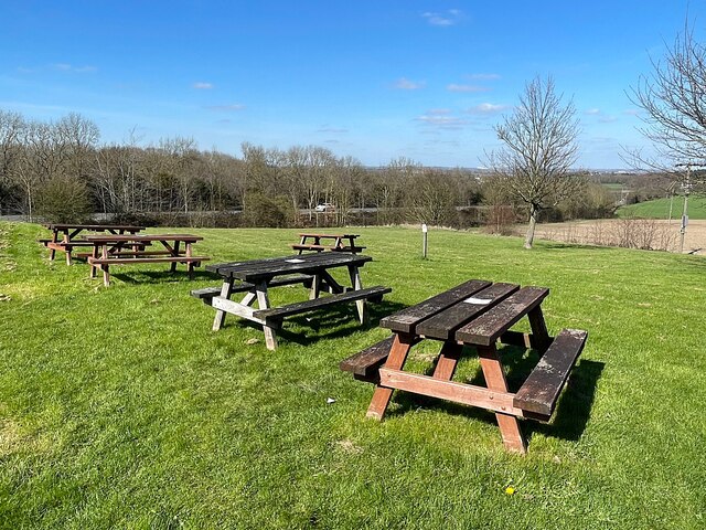
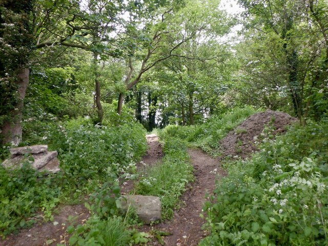
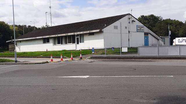
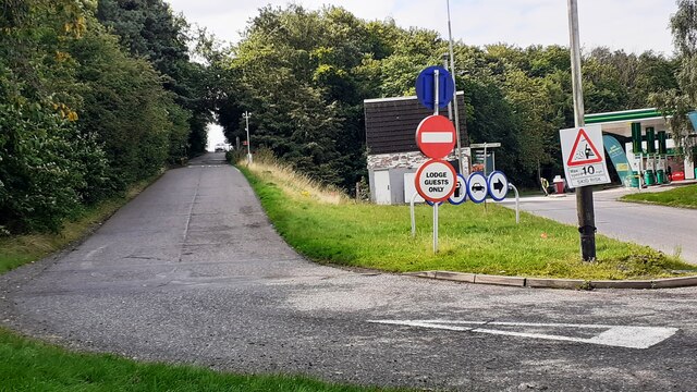
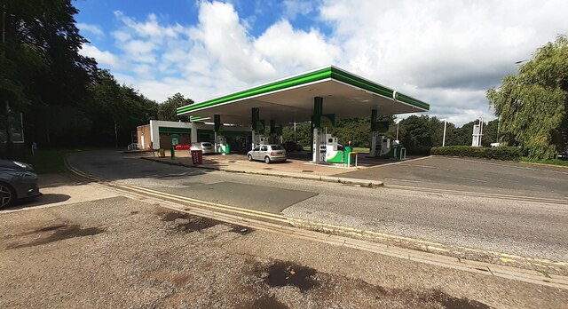
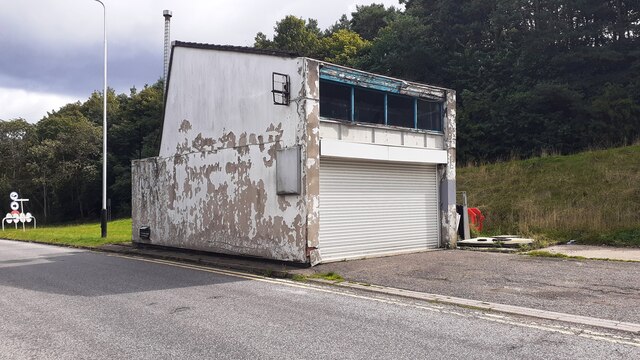
Bretton, West Images
Images are sourced within 2km of 53.618951/-1.5669362 or Grid Reference SE2813. Thanks to Geograph Open Source API. All images are credited.
Bretton, West is located at Grid Ref: SE2813 (Lat: 53.618951, Lng: -1.5669362)
Division: West Riding
Unitary Authority: Wakefield
Police Authority: West Yorkshire
What 3 Words
///finalists.jazz.showcase. Near Crigglestone, West Yorkshire
Nearby Locations
Related Wikis
West Bretton
West Bretton is a village and civil parish near Wakefield, West Yorkshire, England. It lies close to junction 38 of the M1 motorway at Haigh. It has a...
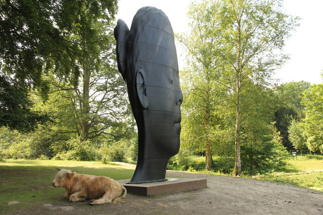
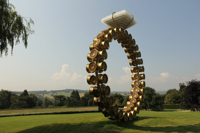
Yorkshire Sculpture Park
The Yorkshire Sculpture Park (YSP) is an art gallery, with both open-air and indoor exhibition spaces, in West Bretton, Wakefield, in West Yorkshire, England...

St Bartholomew's Chapel, West Bretton
St Bartholomew's Chapel is a former estate church in the grounds of Bretton Hall, in West Bretton near Wakefield in West Yorkshire, England. The redundant...

Bretton Hall College of Education
Bretton Hall College of Education was a higher education college in West Bretton in the West Riding of Yorkshire, England. It opened as a teacher training...
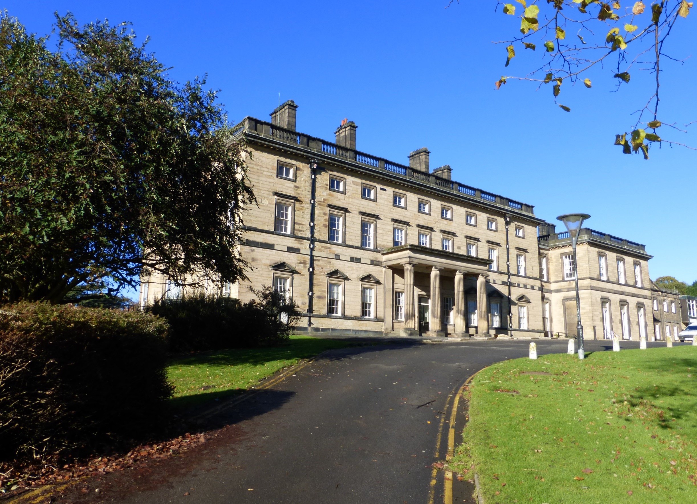
Bretton Hall, West Yorkshire
Bretton Hall is a country house in West Bretton near Wakefield, West Yorkshire, England. It housed Bretton Hall College from 1949 until 2001 and was a...

A636 road
The A636 is a main road in West Yorkshire, England, starting at Wakefield (53.6788°N 1.5002°W / 53.6788; -1.5002 (A636 road (northern end))) and connecting...
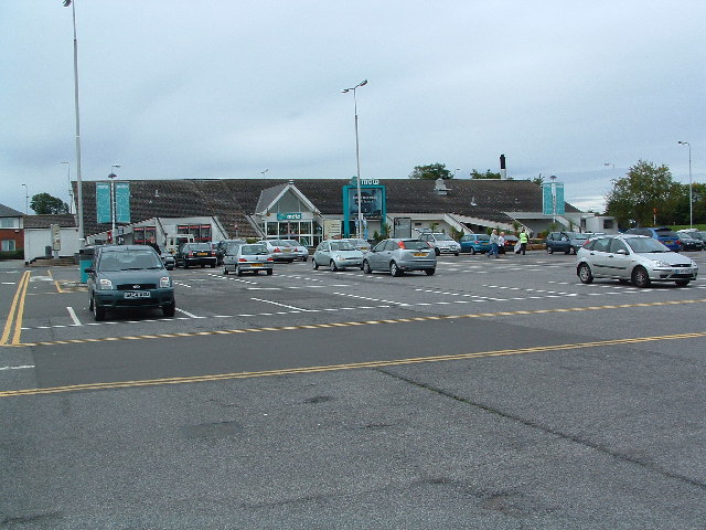
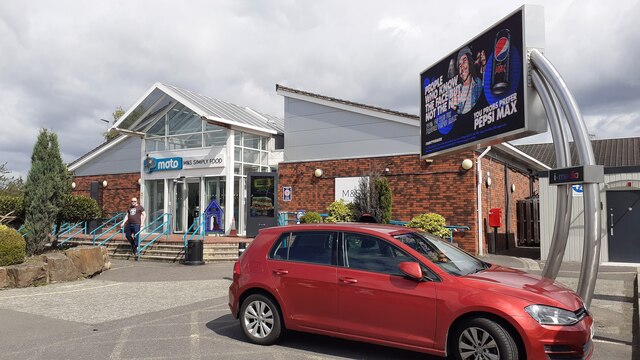
Woolley Edge services
Woolley Edge services is a motorway service station on the M1 motorway within the borough of the City of Wakefield, West Yorkshire, England. It lies between...

Haigh railway station
Haigh railway station served the village of Haigh, West Yorkshire, England from 1850 to 1965 on the Hallam Line. == History == The station opened on 1...
Nearby Amenities
Located within 500m of 53.618951,-1.5669362Have you been to Bretton, West?
Leave your review of Bretton, West below (or comments, questions and feedback).