West Bourton

Settlement in Dorset

England

West Bourton

The A303 Taken just north of West Bouton and just south of Bourton.
The A303 Credit: Trevor Harris

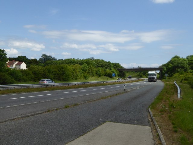
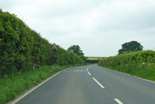
West Bourton is a small village located in Dorset, England. It is situated in the picturesque countryside, surrounded by rolling hills and lush green fields. The village is known for its peaceful and tranquil atmosphere, making it an ideal destination for those looking to escape the hustle and bustle of city life.

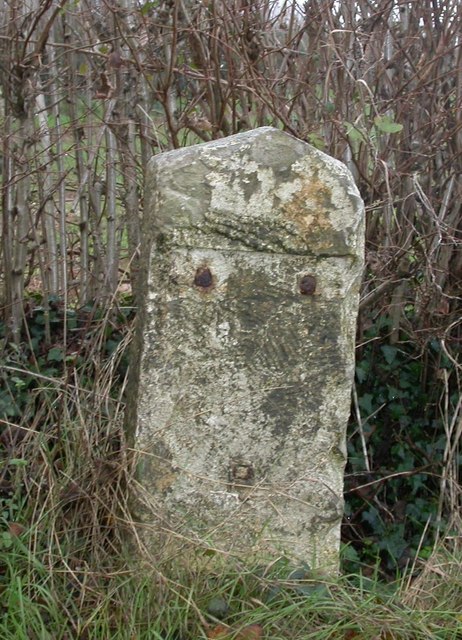
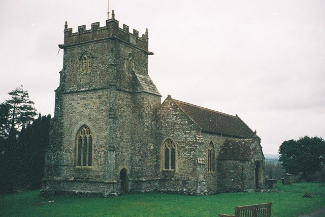
West Bourton is home to a tight-knit community of residents who take pride in maintaining the village's charm and character. The village features a mix of traditional thatched cottages, quaint shops, and a historic church, giving it a quintessentially English feel.

In addition to its natural beauty, West Bourton is also a popular destination for outdoor enthusiasts, with plenty of walking and cycling routes in the surrounding countryside. The nearby River Bourton provides opportunities for fishing and boating, while the rolling hills offer stunning views of the Dorset landscape.

Overall, West Bourton is a hidden gem in Dorset, offering a peaceful retreat for visitors looking to experience the beauty of the English countryside.

If you have any feedback on the listing, please let us know in the comments section below.
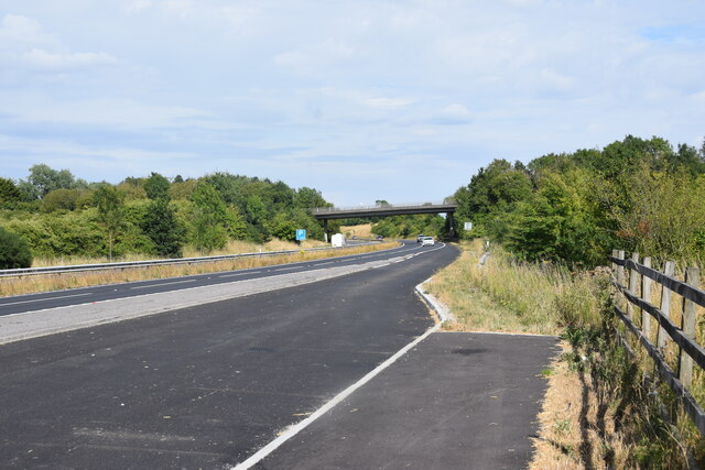
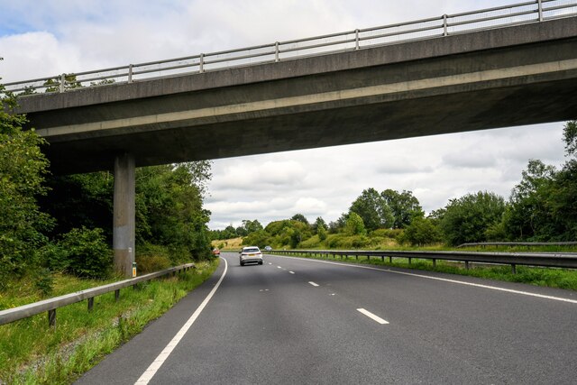
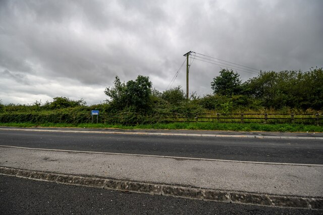
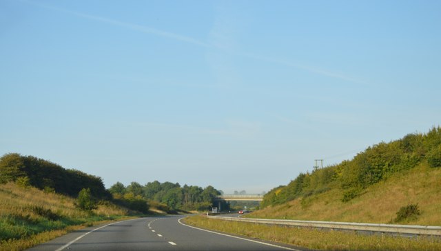
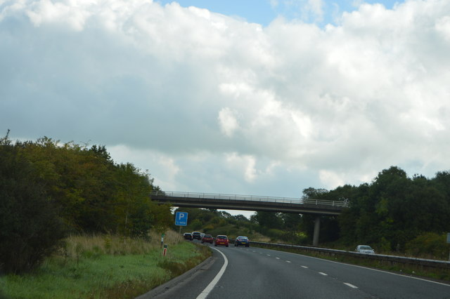
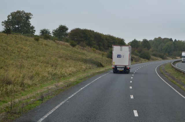
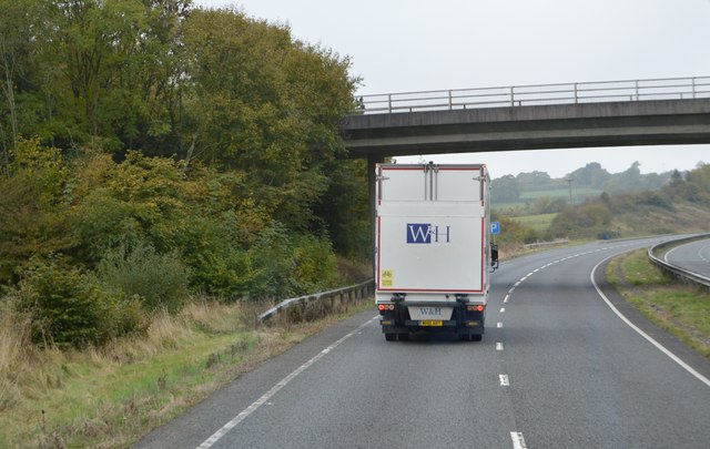
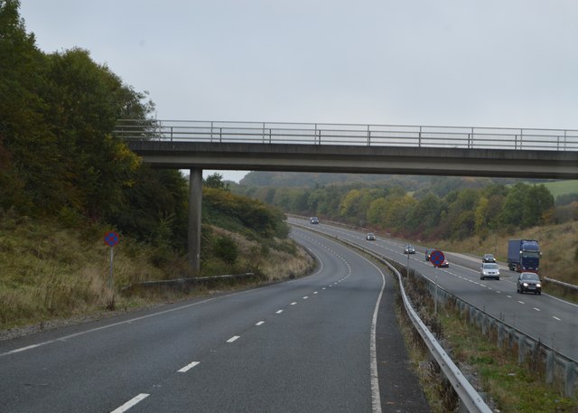
West Bourton Images

Images are sourced within 2km of 51.062168/-2.3352626 or Grid Reference ST7629. Thanks to Geograph Open Source API. All images are credited.

The A303 Taken just north of West Bouton and just south of Bourton.
The A303
Taken just north of West Bouton and just south of Bourton.
Bourton : A303 Looking along the A303.
Bourton : A303
Looking along the A303.
Bourton : A303 Heading under the West Bourton Road bridge.
Bourton : A303
Heading under the West Bourton Road bridge.
Bourton : A303 Looking along the A303.
Bourton : A303
Looking along the A303.
Bourton : A303 Layby A layby alongside the A303.
Bourton : A303 Layby
A layby alongside the A303.
A303, westbound The A303 is a main trunk road running 92 miles between Basingstoke and Honiton. Along with the A30 and M3 it forms a major route between London and the South West. Much of the road is dual carriageway, but some stretches remain single and prone to congestion.

Wikipedia: <span class="nowrap"><a title="http://en.wikipedia.org/wiki/A303_road" rel="nofollow ugc noopener" href="http://en.wikipedia.org/wiki/A303_road">Link</a><img style="margin-left:2px;" alt="External link" title="External link - shift click to open in new window" src="https://s1.geograph.org.uk/img/external.png" width="10" height="10"/></span>
A303, westbound
The A303 is a main trunk road running 92 miles between Basingstoke and Honiton. Along with the A30 and M3 it forms a major route between London and the South West. Much of the road is dual carriageway, but some stretches remain single and prone to congestion. Wikipedia: LinkExternal link
West Bourton Road Bridge, A303 The A303 is a main trunk road running 92 miles between Basingstoke and Honiton. Along with the A30 and M3 it forms a major route between London and the South West. Much of the road is dual carriageway, but some stretches remain single and prone to congestion.

Wikipedia: <span class="nowrap"><a title="http://en.wikipedia.org/wiki/A303_road" rel="nofollow ugc noopener" href="http://en.wikipedia.org/wiki/A303_road">Link</a><img style="margin-left:2px;" alt="External link" title="External link - shift click to open in new window" src="https://s1.geograph.org.uk/img/external.png" width="10" height="10"/></span>
West Bourton Road Bridge, A303
The A303 is a main trunk road running 92 miles between Basingstoke and Honiton. Along with the A30 and M3 it forms a major route between London and the South West. Much of the road is dual carriageway, but some stretches remain single and prone to congestion. Wikipedia: LinkExternal link
Footbridge, A303 The A303 is a main trunk road running 92 miles between Basingstoke and Honiton. Along with the A30 and M3 it forms a major route between London and the South West. Much of the road is dual carriageway, but some stretches remain single and prone to congestion.

Wikipedia: <span class="nowrap"><a title="http://en.wikipedia.org/wiki/A303_road" rel="nofollow ugc noopener" href="http://en.wikipedia.org/wiki/A303_road">Link</a><img style="margin-left:2px;" alt="External link" title="External link - shift click to open in new window" src="https://s1.geograph.org.uk/img/external.png" width="10" height="10"/></span>
Footbridge, A303
The A303 is a main trunk road running 92 miles between Basingstoke and Honiton. Along with the A30 and M3 it forms a major route between London and the South West. Much of the road is dual carriageway, but some stretches remain single and prone to congestion. Wikipedia: LinkExternal link
Entering Somerset, A303 The A303 is a main trunk road running 92 miles between Basingstoke and Honiton. Along with the A30 and M3 it forms a major route between London and the South West. Much of the road is dual carriageway, but some stretches remain single and prone to congestion.

Wikipedia: <span class="nowrap"><a title="http://en.wikipedia.org/wiki/A303_road" rel="nofollow ugc noopener" href="http://en.wikipedia.org/wiki/A303_road">Link</a><img style="margin-left:2px;" alt="External link" title="External link - shift click to open in new window" src="https://s1.geograph.org.uk/img/external.png" width="10" height="10"/></span>
Entering Somerset, A303
The A303 is a main trunk road running 92 miles between Basingstoke and Honiton. Along with the A30 and M3 it forms a major route between London and the South West. Much of the road is dual carriageway, but some stretches remain single and prone to congestion. Wikipedia: LinkExternal link
B3081 off the A303 The A303 is a main trunk road running 92 miles between Basingstoke and Honiton. Along with the A30 and M3 it forms a major route between London and the South West. Much of the road is dual carriageway, but some stretches remain single and prone to congestion.

Wikipedia: <span class="nowrap"><a title="http://en.wikipedia.org/wiki/A303_road" rel="nofollow ugc noopener" href="http://en.wikipedia.org/wiki/A303_road">Link</a><img style="margin-left:2px;" alt="External link" title="External link - shift click to open in new window" src="https://s1.geograph.org.uk/img/external.png" width="10" height="10"/></span>
B3081 off the A303
The A303 is a main trunk road running 92 miles between Basingstoke and Honiton. Along with the A30 and M3 it forms a major route between London and the South West. Much of the road is dual carriageway, but some stretches remain single and prone to congestion. Wikipedia: LinkExternal link
A wet entry to Wiltshire, A303 The A303 is a main trunk road running 92 miles between Basingstoke and Honiton. Along with the A30 and M3 it forms a major route between London and the South West. Much of the road is dual carriageway, but some stretches remain single and prone to congestion.

Wikipedia: <span class="nowrap"><a title="http://en.wikipedia.org/wiki/A303_road" rel="nofollow ugc noopener" href="http://en.wikipedia.org/wiki/A303_road">Link</a><img style="margin-left:2px;" alt="External link" title="External link - shift click to open in new window" src="https://s1.geograph.org.uk/img/external.png" width="10" height="10"/></span>
A wet entry to Wiltshire, A303
The A303 is a main trunk road running 92 miles between Basingstoke and Honiton. Along with the A30 and M3 it forms a major route between London and the South West. Much of the road is dual carriageway, but some stretches remain single and prone to congestion. Wikipedia: LinkExternal link
West Bourton Road bridge over A303 Seen from a lay-by on the westbound carriageway
West Bourton Road bridge over A303
Seen from a lay-by on the westbound carriageway
Old Milestone by the B3081, east of Cucklington Carved stone post by the B3081, plate missing, in parish of GILLINGHAM (NORTH DORSET District), a mile East of Cucklington village on B3081, on grass bank in hedge, on South side of road. Dorset 1 (limestone), erected by the Shaftesbury & New Road to Blandford turnpike trust in the 19th century. 

Inscription reads:-
: BOURTON : : (Wincanton 4 / Shaftesbury 7) : : BOURTON :
Carved benchmark at bottom of front face.

Milestone Society National ID: DO_SHWC07.
Old Milestone by the B3081, east of Cucklington
Carved stone post by the B3081, plate missing, in parish of GILLINGHAM (NORTH DORSET District), a mile East of Cucklington village on B3081, on grass bank in hedge, on South side of road. Dorset 1 (limestone), erected by the Shaftesbury & New Road to Blandford turnpike trust in the 19th century. Inscription reads:- : BOURTON : : (Wincanton 4 / Shaftesbury 7) : : BOURTON : Carved benchmark at bottom of front face. Milestone Society National ID: DO_SHWC07.
Old Milestone by the B3081, west of West Bourton Carved stone post by the B3081, plate missing, in parish of BOURTON (NORTH DORSET District), between Tinkers Lane and road to West Bourton, by the road, on South side of road. Dorset 1 (limestone), erected by the Shaftesbury & New Road to Blandford turnpike trust in the 19th century. 

Inscription once read:-
: (BOURTON) : : (Wincanton 3½) : : (Shaftesbury 8) : : (BOURTON) : 
Carved benchmark at bottom of front face.

Milestone Society National ID: DO_SHWC08.
Old Milestone by the B3081, west of West Bourton
Carved stone post by the B3081, plate missing, in parish of BOURTON (NORTH DORSET District), between Tinkers Lane and road to West Bourton, by the road, on South side of road. Dorset 1 (limestone), erected by the Shaftesbury & New Road to Blandford turnpike trust in the 19th century. Inscription once read:- : (BOURTON) : : (Wincanton 3½) : : (Shaftesbury 8) : : (BOURTON) : Carved benchmark at bottom of front face. Milestone Society National ID: DO_SHWC08.
B3081 heading north-west Towards the A303 and some way beyond, Bruton.
B3081 heading north-west
Towards the A303 and some way beyond, Bruton.
B3081 heading north-west Towards the A303 and some way beyond, Bruton. Tinkers Lane comes in from the left at the corner ahead.
B3081 heading north-west
Towards the A303 and some way beyond, Bruton. Tinkers Lane comes in from the left at the corner ahead.
Show me another place!

West Bourton is located at Grid Ref: ST7629 (Lat: 51.062168, Lng: -2.3352626)

Unitary Authority: Dorset

Police Authority: Dorset

What 3 Words

///final.grad.camera. Near Bourton, Dorset

Related Wikis

Bourton, Dorset

Bourton is a village and civil parish in north Dorset, England, situated north of the A303 road on the border with Somerset and Wiltshire between Mere...

Silton

Silton is a small village and civil parish in north Dorset, England, situated in the Blackmore Vale four miles (six kilometres) northwest of Gillingham...
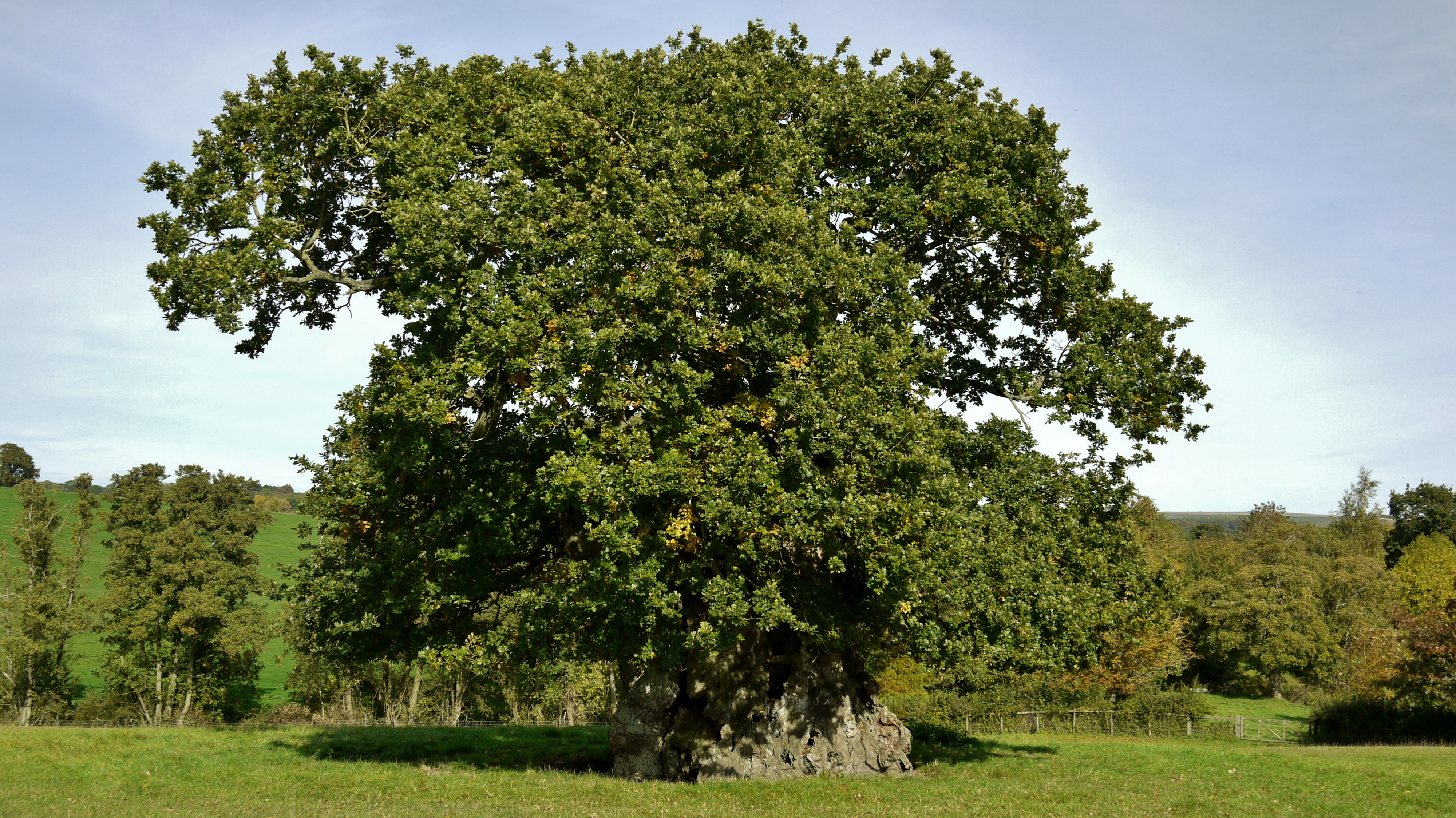
Wyndham's Oak

Wyndham's Oak (sometimes Judge Wyndham's Oak and also known as the Silton Oak or stumpy Silton) is an historic pedunculate oak (Quercus robur) tree in...

Church of St Lawrence, Cucklington

The Anglican Church of St Lawrence in Cucklington, Somerset, England, was built in the 13th century. It is a Grade II* listed building. == History == The...

Nearby Amenities

Located within 500m of 51.062168,-2.3352626
West Bourton
Place: hamlet
Lat/Long: 51.0621086/-2.3345196
Material: wood
Poles: bipole
Power: pole
Source: bing
Lat/Long: 51.0620984/-2.3289673
Material: wood
Poles: bipole
Power: pole
Source: bing
Lat/Long: 51.0633807/-2.3287628
Power: pole
Lat/Long: 51.0613236/-2.3284981
Power: pole
Source: bing
Lat/Long: 51.0581577/-2.3332536
Power: pole
Source: bing
Lat/Long: 51.0590394/-2.3323041
Power: pole
Source: bing
Lat/Long: 51.0599244/-2.33136
Poles: bipole
Power: pole
Source: bing
Lat/Long: 51.0607454/-2.3304829
The data included in this document is from www.openstreetmap.org. The data is made available under ODbL.

Have you been to West Bourton?

Leave your review of West Bourton below (or comments, questions and feedback).