Blackdown, West

Settlement in Devon West Devon

England

Blackdown, West

Not so Old Boundary Marker on Brentor Road, North Brentor Millennium stone on the southeast side of junction on Brentor Road towards North Brentor. On the boundary of Brentor and Mary Tavy parishes. 

Milestone Society National ID: DV_BTMMcm
Not so Old Boundary Marker on Brentor Road, North Brentor Credit: T Jenkinson

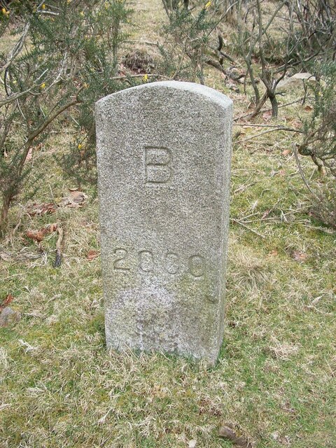
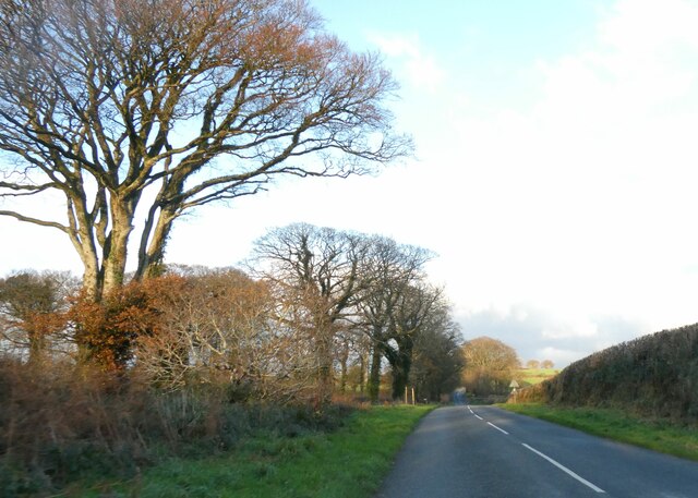
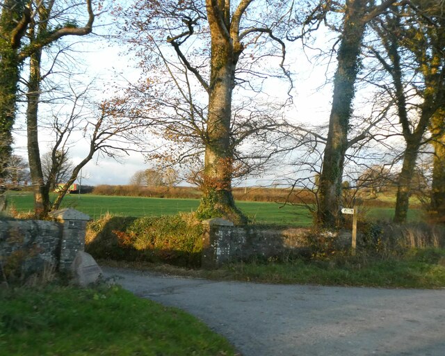
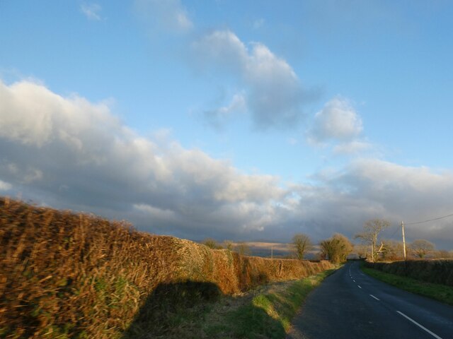
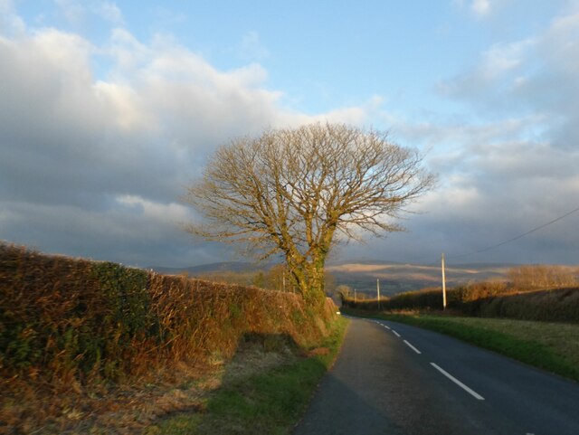
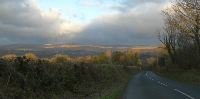
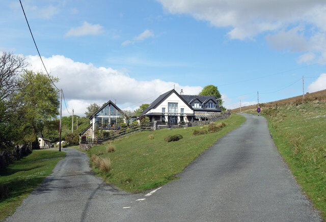
Blackdown is a small village located in West Devon, England. Situated on the edge of the Blackdown Hills, an Area of Outstanding Natural Beauty, the village offers breathtaking views of the surrounding countryside. With a population of around 500 residents, it is a close-knit community with a strong sense of local pride.

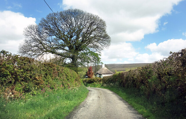
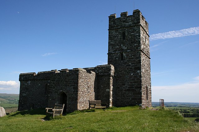
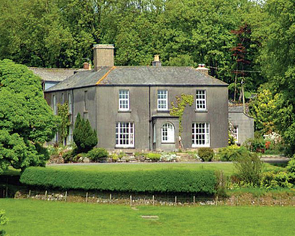
The village is characterized by its charming thatched cottages, historic buildings, and a picturesque church dating back to the 12th century. It boasts a peaceful and tranquil atmosphere, making it a popular destination for those seeking a retreat from the hustle and bustle of city life.

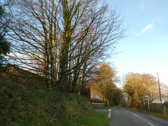
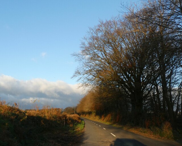
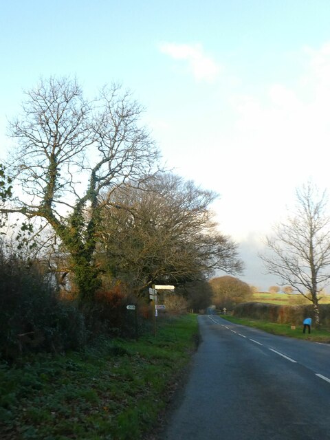
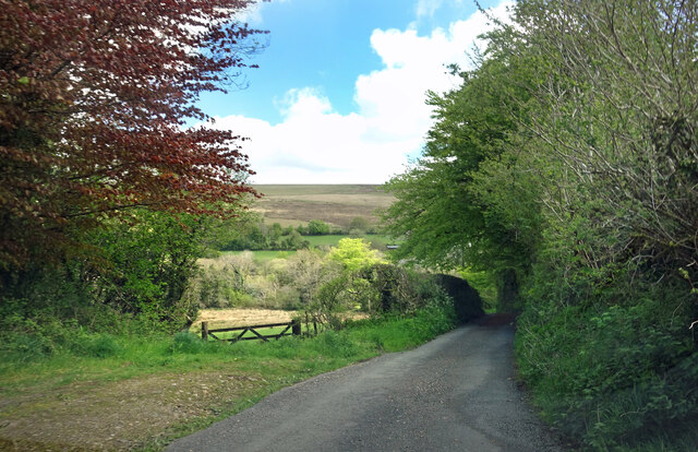
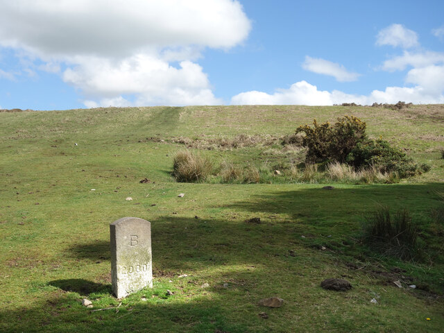
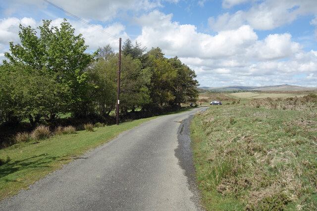
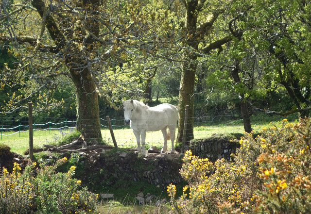
Surrounded by rolling hills and lush green fields, Blackdown offers ample opportunities for outdoor activities such as hiking, cycling, and horse riding. The nearby Blackdown Hills provide a network of scenic trails, allowing visitors to explore the area's natural beauty.

Despite being a small village, Blackdown has a vibrant community spirit. It hosts various local events and gatherings throughout the year, including a summer fete and a Christmas market, which bring residents and visitors together.

For amenities, Blackdown has a village shop and a pub, which serves as a social hub for locals. However, for a wider range of facilities and services, the nearby town of Tiverton is easily accessible.

Overall, Blackdown is a quintessential English village with its idyllic rural setting, friendly community, and rich history. It offers a peaceful retreat for nature lovers and a warm welcome to all who visit.

If you have any feedback on the listing, please let us know in the comments section below.

Blackdown, West Images

Images are sourced within 2km of 50.613128/-4.134276 or Grid Reference SX4981. Thanks to Geograph Open Source API. All images are credited.

Not so Old Boundary Marker on Brentor Road, North Brentor Millennium stone on the southeast side of junction on Brentor Road towards North Brentor. On the boundary of Brentor and Mary Tavy parishes. 

Milestone Society National ID: DV_BTMMcm
Not so Old Boundary Marker on Brentor Road, North Brentor
Millennium stone on the southeast side of junction on Brentor Road towards North Brentor. On the boundary of Brentor and Mary Tavy parishes. Milestone Society National ID: DV_BTMMcm
Signpost at junction for Liddaton in winter sunlight
Winter sunlight on road north of North Brentor
Turning for Burn Lane, leading to North Brentor
Road approaching Langstone Manor The two poles on the verge carry no sign; the poles appear in Google Earth in 2021, but there was no signage in 2014.
Road approaching Langstone Manor
The two poles on the verge carry no sign; the poles appear in Google Earth in 2021, but there was no signage in 2014.
Gateway for Langstone Manor and footpath sign
Evening clouds over Dartmoor, seen from near North Brentor
Tree silhouetted against Dartmoor, near North Brentor
Sunset on western Dartmoor
Old Milestone, North of North Brentor, Brentor parish The milestone is located 300m South of turn to North Brentor and 20m North of field gates, on the grass verge/bank, on the northwest side of road. Parish of Brentor (West Devon District). Carved stone post, early Tavistock stone design, erected by the Tavistock turnpike trust in the 18th century. 

Inscription was probably:- (see <a title="https://www.geograph.org.uk/photo/6037104" href="https://www.geograph.org.uk/photo/6037104">Link</a> ) 
5 / T / 175(4 or 5) : : 12 / O
(To Tavistock and Okehampton)
Carved benchmark on face

Devon & Dartmoor HER Number: MDV41327 <span class="nowrap"><a title="https://www.heritagegateway.org.uk/Gateway/Results_Single.aspx?uid=MDV41327&resourceID=104" rel="nofollow ugc noopener" href="https://www.heritagegateway.org.uk/Gateway/Results_Single.aspx?uid=MDV41327&resourceID=104">Link</a><img style="margin-left:2px;" alt="External link" title="External link - shift click to open in new window" src="https://s1.geograph.org.uk/img/external.png" width="10" height="10"/></span>

Milestone Society National ID: DV_TVOKo05
Old Milestone, North of North Brentor, Brentor parish
The milestone is located 300m South of turn to North Brentor and 20m North of field gates, on the grass verge/bank, on the northwest side of road. Parish of Brentor (West Devon District). Carved stone post, early Tavistock stone design, erected by the Tavistock turnpike trust in the 18th century. Inscription was probably:- (see Link ) 5 / T / 175(4 or 5) : : 12 / O (To Tavistock and Okehampton) Carved benchmark on face Devon & Dartmoor HER Number: MDV41327 LinkExternal link Milestone Society National ID: DV_TVOKo05
Direction Sign - Signpost near Yellands, Brentor parish Spear finial - 3 arms; Devon compass points by the UC road, in parish of Brentor (West Devon District), North Brentor turn, by Yellands, on verge.

Surveyed

Milestone Society National ID: DV_SX4781
Direction Sign - Signpost near Yellands, Brentor parish
Spear finial - 3 arms; Devon compass points by the UC road, in parish of Brentor (West Devon District), North Brentor turn, by Yellands, on verge. Surveyed Milestone Society National ID: DV_SX4781
Old Boundary Marker Estate Boundary Marker set in a stone wall on the west side of Brentor Road. Mary Tavy parish. Inscribed B for the Buller landowners.

Milestone Society National ID: DV_MTAVY01em
Old Boundary Marker
Estate Boundary Marker set in a stone wall on the west side of Brentor Road. Mary Tavy parish. Inscribed B for the Buller landowners. Milestone Society National ID: DV_MTAVY01em
Burn Lane Cottage, North Brentor An isolated house along Burn Lane which leads to the hamlet of West Blackdown on the edge of Dartmoor.
Burn Lane Cottage, North Brentor
An isolated house along Burn Lane which leads to the hamlet of West Blackdown on the edge of Dartmoor.
Along Burn Lane A glimpse of Dartmoor through a field gate along the lane to the hamlet of West Blackdown on the edge of the moor.
Along Burn Lane
A glimpse of Dartmoor through a field gate along the lane to the hamlet of West Blackdown on the edge of the moor.
B 2000, West Blackdown Where Brentor and Mary Tavy parishes meet this looks like a boundary stone renewed to mark the millennium.
B 2000, West Blackdown
Where Brentor and Mary Tavy parishes meet this looks like a boundary stone renewed to mark the millennium.
The Edge of Dartmoor Dartmoor stops very suddenly along this bit of road. Open moorland is on one side, with trees and fields on the other.
The Edge of Dartmoor
Dartmoor stops very suddenly along this bit of road. Open moorland is on one side, with trees and fields on the other.
Moorland Edge Housing There are several houses along here right on the edge of Dartmoor. Moorland starts on the other side of the road.
Moorland Edge Housing
There are several houses along here right on the edge of Dartmoor. Moorland starts on the other side of the road.
White Horse on a Wall We passed several other white horses just like this on the edge of the moor a short way back along the road.
This one is in a field but he's looking over the fence to see who's about.
White Horse on a Wall
We passed several other white horses just like this on the edge of the moor a short way back along the road. This one is in a field but he's looking over the fence to see who's about.
Show me another place!

Blackdown, West is located at Grid Ref: SX4981 (Lat: 50.613128, Lng: -4.134276)

Administrative County: Devon

District: West Devon

Police Authority: Devon and Cornwall

What 3 Words

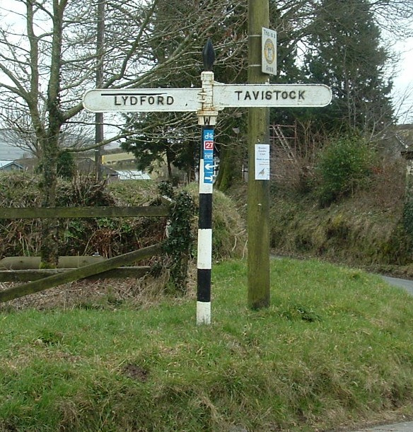
///remain.clays.orchids. Near Tavistock, Devon

Related Wikis

Brentor railway station

Brentor railway station used to serve the village of Brentor in Devon, England. It was on the Plymouth, Devonport and South Western Junction Railway's...

Brentor

Brentor is a village in West Devon, England. Its population in 2001 was 423. The village is dominated by the hill of Brent Tor, topped by the village's...

Burnville House, Brentor

Burnville House (or Farm) in Brentor, West Devon, England, is a building of historical significance and is Grade II listed on the English Heritage Register...

Lydford railway station

Lydford railway station was a junction at Lydford between the Great Western Railway (GWR) and London and South Western Railway (LSWR) situated in a remote...

Brent Tor

Brent Tor is a tor on the western edge of Dartmoor, approximately four miles (6.5 km) north of Tavistock, rising to 1100 ft (330m) above sea level. The...

Mary Tavy

Mary Tavy () is a village with a population of around 600, located four miles north of Tavistock in Devon in south-west England; it is named after the...

Liddaton Halt railway station

Liddaton Halt was a railway station opened in 1938 by the Great Western Railway to serve the hamlet of Liddaton that lies between Coryton and Lydford in...

West Devon

West Devon is a local government district with borough status in Devon, England. Its council is based in Tavistock, the borough's largest town. The borough...

Have you been to Blackdown, West?

Leave your review of Blackdown, West below (or comments, questions and feedback).