West Bergholt

Settlement in Essex Colchester

England

West Bergholt

A12 Colchester bypass dipping into the Colne valley The A12 is a 129 mile long trunk road from London to Great Yarmouth. It runs through Greater London, Essex, Suffolk and Norfolk. It passes by Brentwood, Colchester and Ipswich as well as passing through Lowestoft.
<span class="nowrap"><a title="http://www.sabre-roads.org.uk/wiki/index.php?title=A12" rel="nofollow ugc noopener" href="http://www.sabre-roads.org.uk/wiki/index.php?title=A12">Link</a><img style="margin-left:2px;" alt="External link" title="External link - shift click to open in new window" src="https://s1.geograph.org.uk/img/external.png" width="10" height="10"/></span> 
Wikipedia: <span class="nowrap"><a title="http://en.wikipedia.org/wiki/A12_road_(England)" rel="nofollow ugc noopener" href="http://en.wikipedia.org/wiki/A12_road_(England)">Link</a><img style="margin-left:2px;" alt="External link" title="External link - shift click to open in new window" src="https://s1.geograph.org.uk/img/external.png" width="10" height="10"/></span>
A12 Colchester bypass dipping into the Colne valley Credit: Christopher Hilton

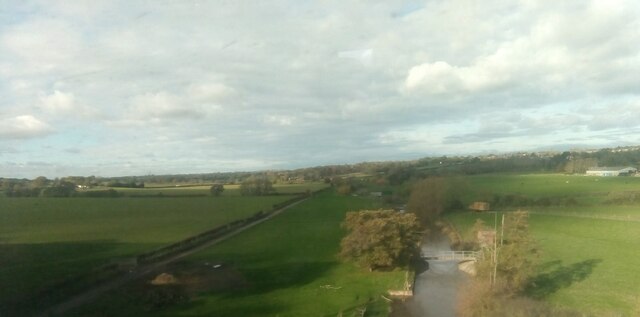
West Bergholt is a quaint village located in the county of Essex, England. Situated approximately four miles north of Colchester, it is nestled in the beautiful countryside of East Anglia. With a population of around 3,000 residents, it offers a peaceful and close-knit community atmosphere.

The village of West Bergholt boasts a rich history, with evidence of settlement dating back to the Roman era. It is home to several historic buildings, including St. Mary's Church, which dates back to the 13th century. The village is also known for its picturesque thatched cottages and traditional English architecture, giving it a charming and timeless appeal.

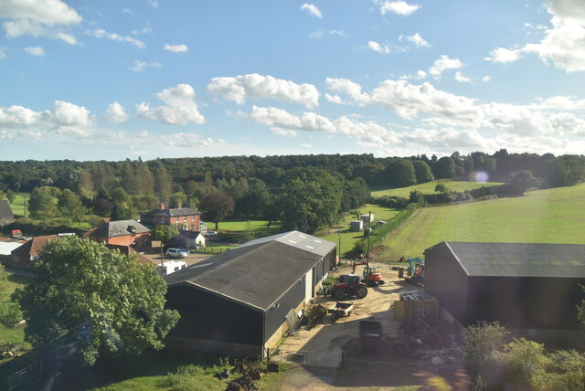
Residents of West Bergholt enjoy a range of amenities, including a primary school, a village hall, and a local pub. The village is well-served by public transportation, with regular bus services connecting it to nearby towns and cities. It also benefits from its proximity to Colchester, which provides access to a wider range of services and facilities.

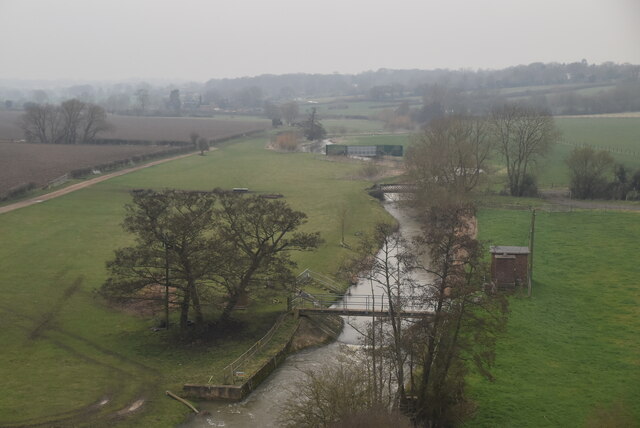
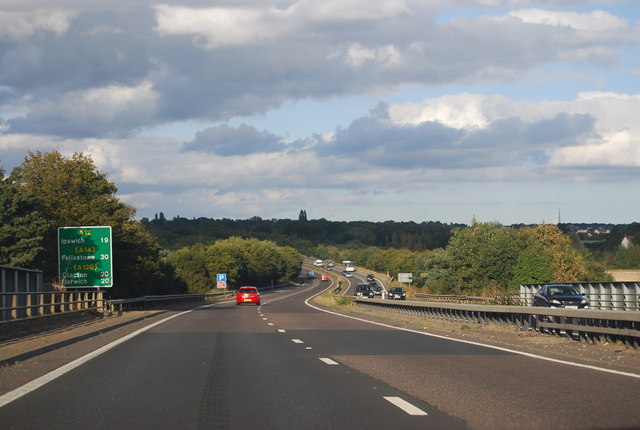
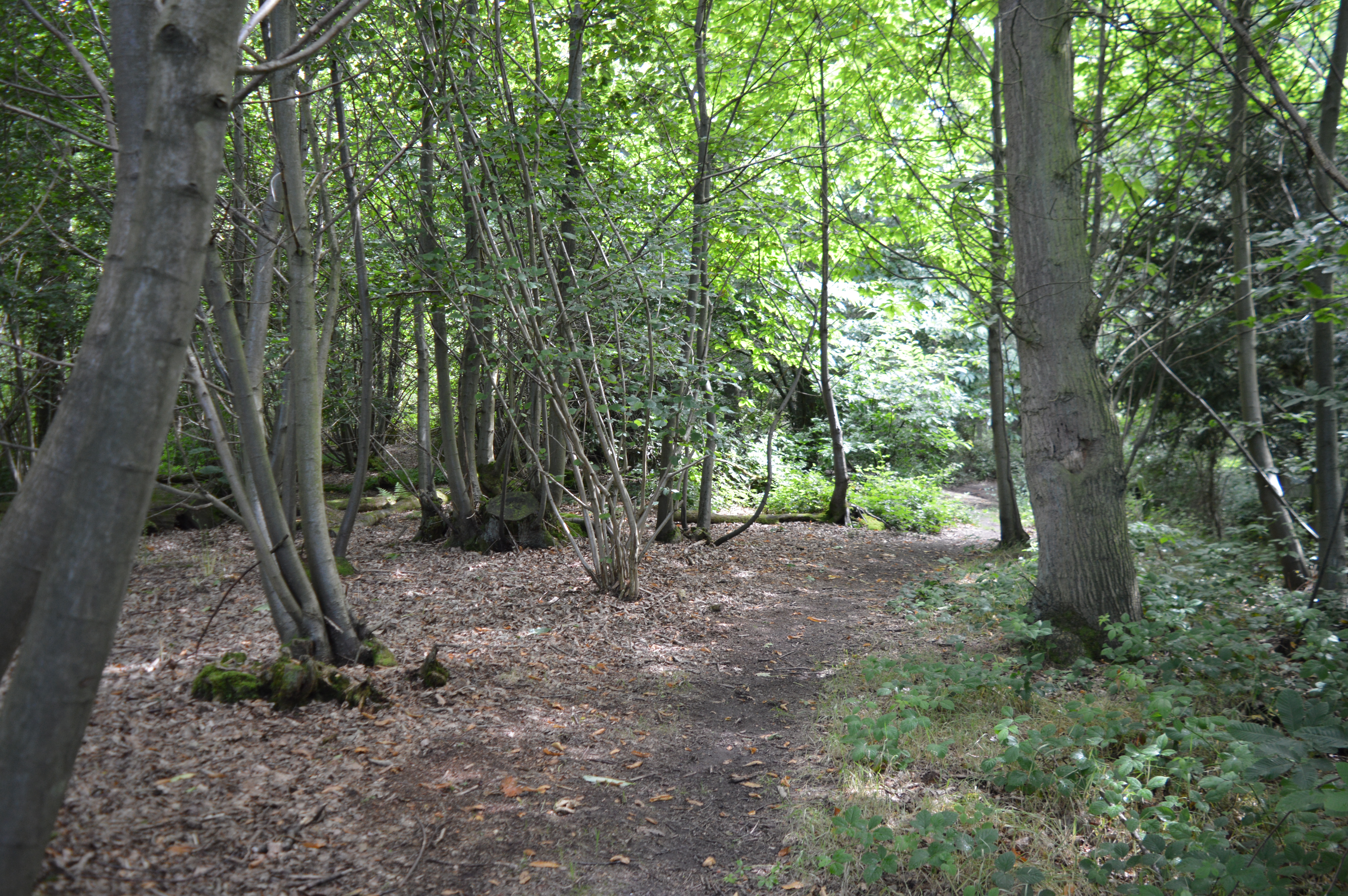
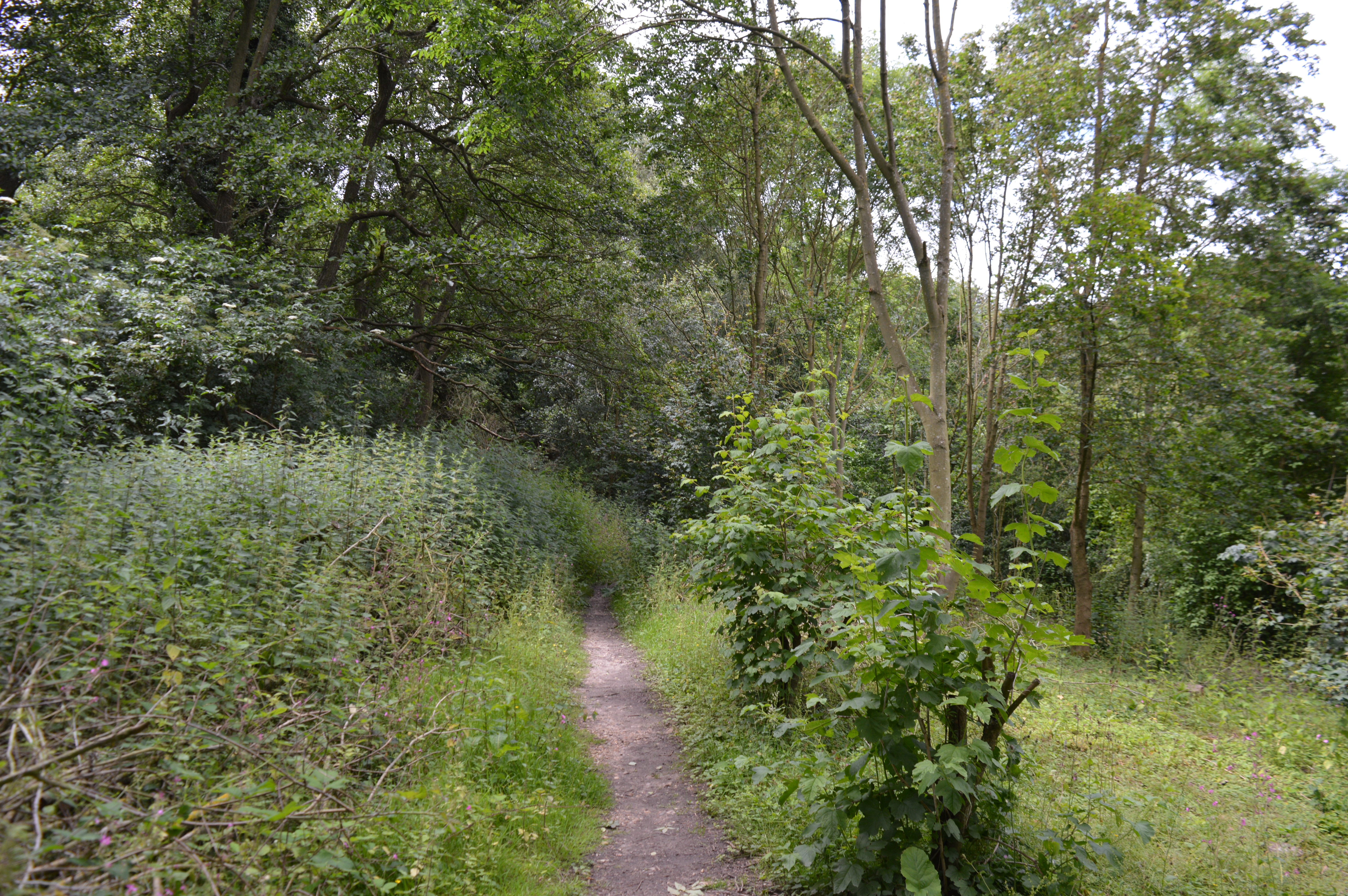
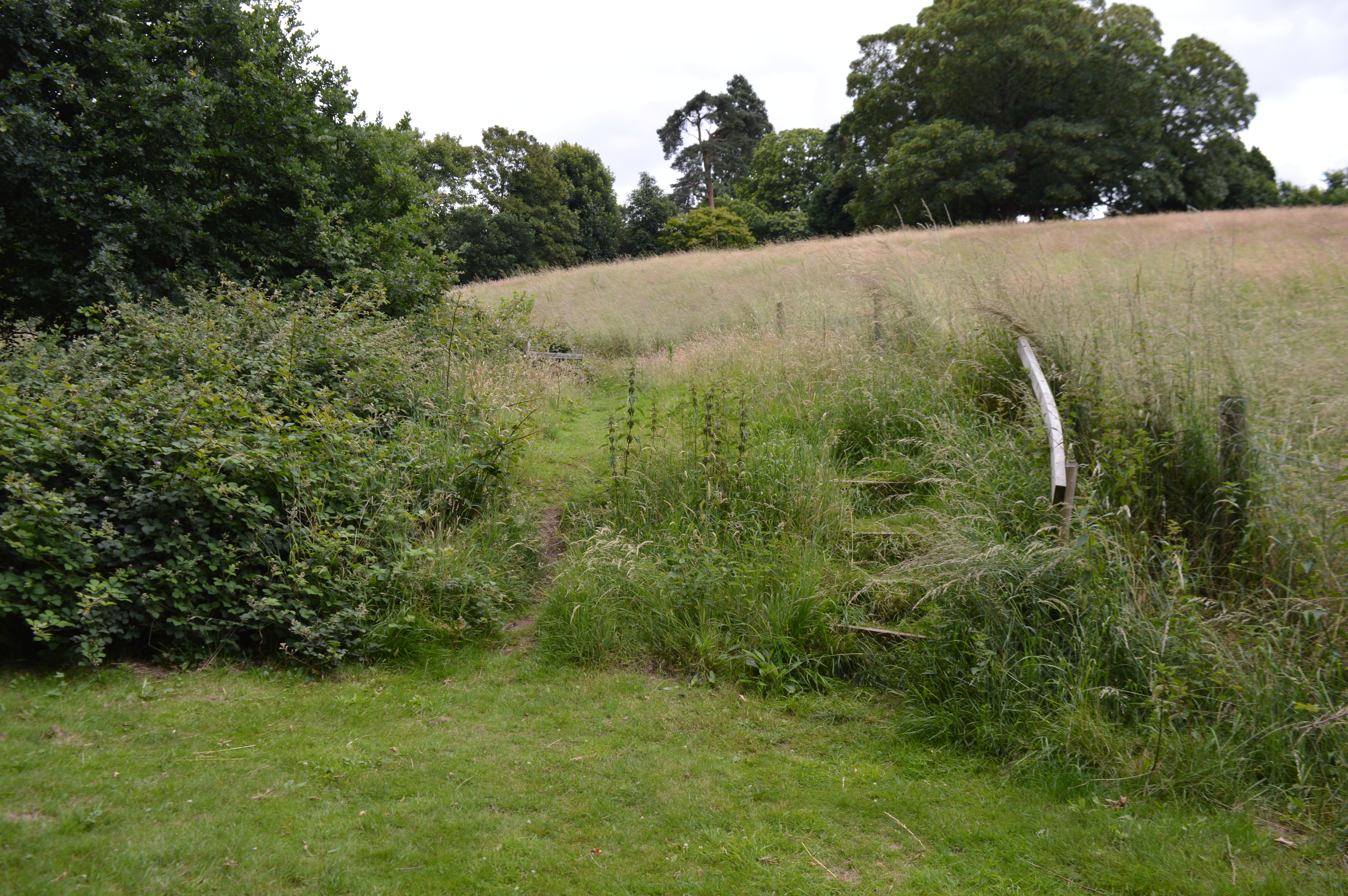
Nature enthusiasts will appreciate the beautiful surrounding countryside, with ample opportunities for walks and outdoor activities. The village is located near several nature reserves and parks, providing residents with a chance to explore the local flora and fauna.

Overall, West Bergholt offers a serene and picturesque living environment, combining the tranquility of rural life with the convenience of nearby urban centers. Its rich history, scenic beauty, and strong sense of community make it an appealing place to call home.

If you have any feedback on the listing, please let us know in the comments section below.

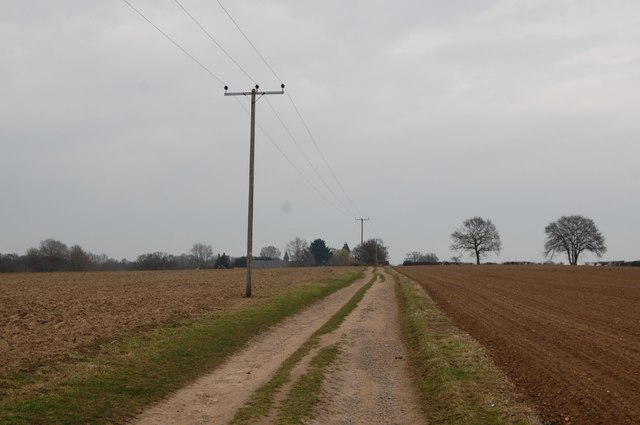
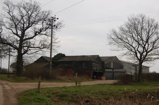
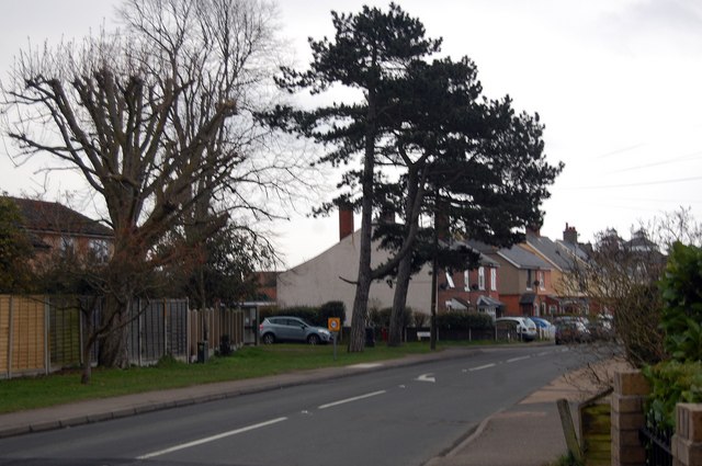
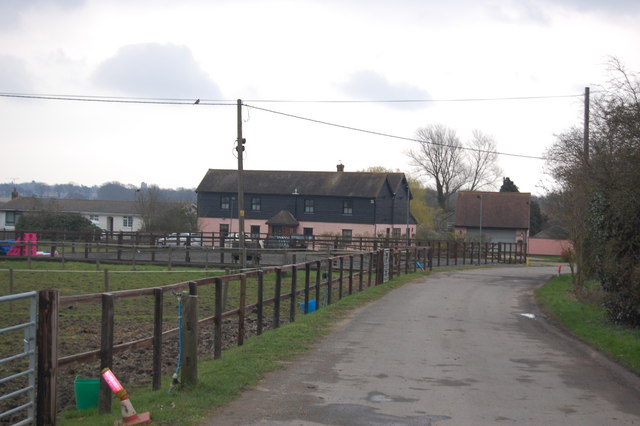
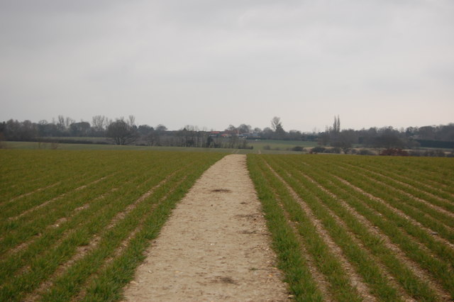
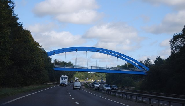
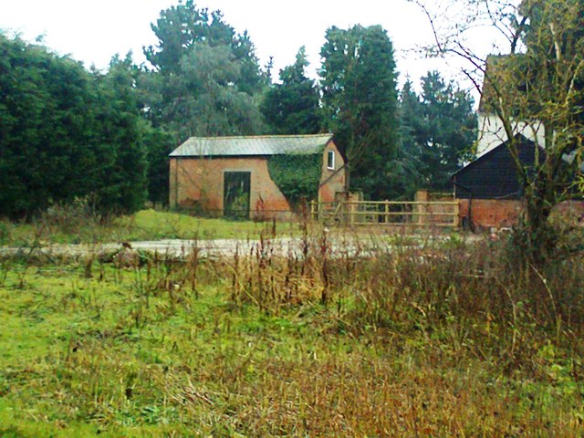
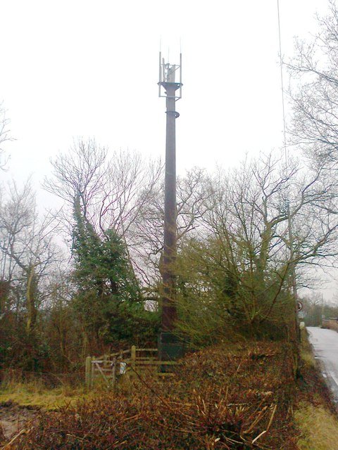
West Bergholt Images

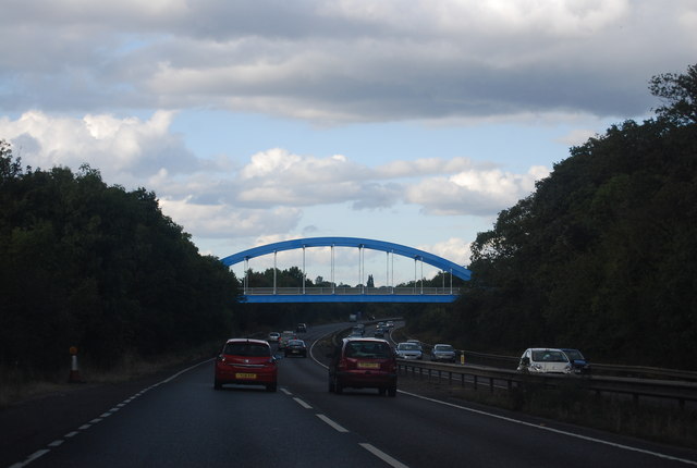
Images are sourced within 2km of 51.912825/0.852441 or Grid Reference TL9627. Thanks to Geograph Open Source API. All images are credited.

A12 Colchester bypass dipping into the Colne valley The A12 is a 129 mile long trunk road from London to Great Yarmouth. It runs through Greater London, Essex, Suffolk and Norfolk. It passes by Brentwood, Colchester and Ipswich as well as passing through Lowestoft.
<span class="nowrap"><a title="http://www.sabre-roads.org.uk/wiki/index.php?title=A12" rel="nofollow ugc noopener" href="http://www.sabre-roads.org.uk/wiki/index.php?title=A12">Link</a><img style="margin-left:2px;" alt="External link" title="External link - shift click to open in new window" src="https://s1.geograph.org.uk/img/external.png" width="10" height="10"/></span> 
Wikipedia: <span class="nowrap"><a title="http://en.wikipedia.org/wiki/A12_road_(England)" rel="nofollow ugc noopener" href="http://en.wikipedia.org/wiki/A12_road_(England)">Link</a><img style="margin-left:2px;" alt="External link" title="External link - shift click to open in new window" src="https://s1.geograph.org.uk/img/external.png" width="10" height="10"/></span>
A12 Colchester bypass dipping into the Colne valley
The A12 is a 129 mile long trunk road from London to Great Yarmouth. It runs through Greater London, Essex, Suffolk and Norfolk. It passes by Brentwood, Colchester and Ipswich as well as passing through Lowestoft. LinkExternal link Wikipedia: LinkExternal link
Houses on Chits Hill from the railway
View up the River Colne, from a train crossing Seven Arches
Seven Arches Farm
Seven Arches Farm
River Colne
River Colne
The Essex Way 113 - ruined barn This roofless barn is on the Essex Way as it approaches West Bergholt.
The Essex Way 113 - ruined barn
This roofless barn is on the Essex Way as it approaches West Bergholt.
The Essex Way 114 At this point the Essex Way is following a farm track from Cook's Hall and is approaching West Bergholt Hall and church - the spire of which can be seen among the trees ahead.
The Essex Way 114
At this point the Essex Way is following a farm track from Cook's Hall and is approaching West Bergholt Hall and church - the spire of which can be seen among the trees ahead.
The Essex Way 115 Barns opposite West Bergholt church. The way markers for the path can be seen as it turns to the east at this point.
The Essex Way 115
Barns opposite West Bergholt church. The way markers for the path can be seen as it turns to the east at this point.
The Essex Way 116 The Essex Way follows roads through West Bergholt. Here it turns left ahead into Armoury Road.
The Essex Way 116
The Essex Way follows roads through West Bergholt. Here it turns left ahead into Armoury Road.
The Essex Way 117 - Armoury Farm The footpath takes a turn to the north east in front of the house.
The Essex Way 117 - Armoury Farm
The footpath takes a turn to the north east in front of the house.
The Essex Way 118 The path crosses fields as it approaches Great Horkesley.
The Essex Way 118
The path crosses fields as it approaches Great Horkesley.
Colchester Road Bridge, A12
West House Farm
West House Farm
Telecommunication Mast, Baker's Lane
A12 near Lexden The A12 is a 129 mile long trunk road from London to Great Yarmouth. It runs through Greater London, Essex, Suffolk and Norfolk. It passes by Brentwood, Colchester and Ipswich as well as passing through Lowestoft.
<span class="nowrap"><a title="http://www.sabre-roads.org.uk/wiki/index.php?title=A12" rel="nofollow ugc noopener" href="http://www.sabre-roads.org.uk/wiki/index.php?title=A12">Link</a><img style="margin-left:2px;" alt="External link" title="External link - shift click to open in new window" src="https://s1.geograph.org.uk/img/external.png" width="10" height="10"/></span> 
Wikipedia: <span class="nowrap"><a title="http://en.wikipedia.org/wiki/A12_road_(England)" rel="nofollow ugc noopener" href="http://en.wikipedia.org/wiki/A12_road_(England)">Link</a><img style="margin-left:2px;" alt="External link" title="External link - shift click to open in new window" src="https://s1.geograph.org.uk/img/external.png" width="10" height="10"/></span>
A12 near Lexden
The A12 is a 129 mile long trunk road from London to Great Yarmouth. It runs through Greater London, Essex, Suffolk and Norfolk. It passes by Brentwood, Colchester and Ipswich as well as passing through Lowestoft. LinkExternal link Wikipedia: LinkExternal link
A12, Colchester Road Bridge The A12 is a 129 mile long trunk road from London to Great Yarmouth. It runs through Greater London, Essex, Suffolk and Norfolk. It passes by Brentwood, Colchester and Ipswich as well as passing through Lowestoft.
<span class="nowrap"><a title="http://www.sabre-roads.org.uk/wiki/index.php?title=A12" rel="nofollow ugc noopener" href="http://www.sabre-roads.org.uk/wiki/index.php?title=A12">Link</a><img style="margin-left:2px;" alt="External link" title="External link - shift click to open in new window" src="https://s1.geograph.org.uk/img/external.png" width="10" height="10"/></span> 
Wikipedia: <span class="nowrap"><a title="http://en.wikipedia.org/wiki/A12_road_(England)" rel="nofollow ugc noopener" href="http://en.wikipedia.org/wiki/A12_road_(England)">Link</a><img style="margin-left:2px;" alt="External link" title="External link - shift click to open in new window" src="https://s1.geograph.org.uk/img/external.png" width="10" height="10"/></span>
A12, Colchester Road Bridge
The A12 is a 129 mile long trunk road from London to Great Yarmouth. It runs through Greater London, Essex, Suffolk and Norfolk. It passes by Brentwood, Colchester and Ipswich as well as passing through Lowestoft. LinkExternal link Wikipedia: LinkExternal link
Show me another place!

West Bergholt is located at Grid Ref: TL9627 (Lat: 51.912825, Lng: 0.852441)

Administrative County: Essex

District: Colchester

Police Authority: Essex

What 3 Words

///pops.facing.heave. Near West Bergholt, Essex

Related Wikis

West Bergholt

West Bergholt, formerly known as Bergholt Sackville, is a large rural village and civil parish in Essex, England, lying near the border with Suffolk, close...

Old St Mary's Church, West Bergholt

Old St Mary's Church is a redundant Anglican church in the village of West Bergholt, Essex, England. It is recorded in the National Heritage List for...

Westhouse Wood

Westhouse Wood is a 2.8-hectare (6.9-acre) nature reserve north-west of Colchester in Essex. It is managed by the Essex Wildlife Trust.The wood is mainly...

Iron Latch

Iron Latch is a 4.3-hectare (11-acre) nature reserve in Eight Ash Green, west of Colchester in Essex.The site consists of areas of species-rich grassland...

Lexden Gathering Grounds

Lexden Gathering Grounds is an 8.9-hectare (22-acre) nature reserve in Lexden, a suburb of Colchester in Essex. It is owned by Anglian Water and managed...

Spring Lane Meadows

Spring Lane Meadows or Lexden Springs is a 2-hectare (4.9-acre) Local Nature Reserve in Lexden, a suburb of Colchester in Essex. It is owned and managed...

Great Horkesley

Great Horkesley is a village in the City of Colchester district of Essex, England, approximately 3 miles north of Colchester. Horkesley is located in what...

Eight Ash Green

Eight Ash Green is a village and civil parish in the City of Colchester district of Essex, England. It is on the A1124 road, near Junction 26 (Eight Ash...

Nearby Amenities

Located within 500m of 51.912825,0.852441
Mini Roundabout
Direction: clockwise
Lat/Long: 51.9139351/0.8557173
West Bergholt
Is In: Essex,England,UK
Place: village
Source: survey
Lat/Long: 51.9163696/0.8497621
Bus Stop
Armoury Road
Naptan AtcoCode: 150033097003
Naptan Bearing: SE
Naptan CommonName: Armoury Road
Naptan Indicator: SE-bound
Naptan Landmark: Armoury Road
Naptan NaptanCode: esxamawj
Naptan PlusbusZoneRef: CLCHSTR
Naptan Street: Colchester Road
Naptan Verified: no
Public Transport: platform
Source: naptan_import
Lat/Long: 51.9130157/0.8579109
Bus Stop
Armoury Road
Naptan AtcoCode: 150033097004
Naptan Bearing: NW
Naptan CommonName: Armoury Road
Naptan Indicator: NW-bound
Naptan Landmark: Armoury Road
Naptan NaptanCode: esxamawm
Naptan PlusbusZoneRef: CLCHSTR
Naptan Street: Colchester Road
Naptan Verified: no
Public Transport: platform
Source: naptan_import
Lat/Long: 51.913076/0.857653
Orpen Hall
Naptan AtcoCode: 150033098003
Naptan Bearing: SW
Naptan BusStopType: CUS
Naptan CommonName: Orpen Hall
Naptan Indicator: o/s
Naptan Landmark: Orpen Hall
Naptan NaptanCode: esxamdaj
Naptan PlusbusZoneRef: CLCHSTR
Naptan Street: Lexden Road
Naptan Verified: no
Public Transport: platform
Source: naptan_import
Lat/Long: 51.9146068/0.8464502
Bus Stop
Orpen Hall
Naptan AtcoCode: 150033098004
Naptan Bearing: NE
Naptan CommonName: Orpen Hall
Naptan Indicator: Opp
Naptan Landmark: Orpen Hall
Naptan NaptanCode: esxamdam
Naptan PlusbusZoneRef: CLCHSTR
Naptan Street: Lexden Road
Naptan Verified: no
Public Transport: platform
Source: naptan_import
Lat/Long: 51.914583/0.8463178
Bus Stop
Sackville Way
Bus: yes
Naptan AtcoCode: 150033098005
Naptan Bearing: N
Naptan CommonName: Sackville Way
Naptan Crossing: Sackville Way
Naptan Indicator: Adj
Naptan Landmark: Sackville Way
Naptan NaptanCode: esxamdap
Naptan PlusbusZoneRef: CLCHSTR
Naptan Street: Lexden Road
Naptan Verified: no
Public Transport: platform
Source: naptan_import
Lat/Long: 51.913399/0.845443
Sackville Way
Naptan AtcoCode: 150033098006
Naptan Bearing: S
Naptan BusStopType: CUS
Naptan CommonName: Sackville Way
Naptan Crossing: Sackville Way
Naptan Indicator: Opp
Naptan Landmark: Sackville Way
Naptan NaptanCode: esxamdat
Naptan PlusbusZoneRef: CLCHSTR
Naptan Street: Lexden Road
Naptan Verified: no
Public Transport: platform
Source: naptan_import
Lat/Long: 51.913237/0.8455252
Bus Stop
Donard Drive
Naptan AtcoCode: 150033098007
Naptan Bearing: SW
Naptan CommonName: Donard Drive
Naptan Indicator: Opp
Naptan Landmark: Donard Drive
Naptan NaptanCode: esxamdaw
Naptan PlusbusZoneRef: CLCHSTR
Naptan Street: Chapel Road
Naptan Verified: no
Public Transport: platform
Source: naptan_import
Lat/Long: 51.9112868/0.8479453
Bus Stop
Methodist Chapel
Naptan AtcoCode: 150033098010
Naptan Bearing: SW
Naptan CommonName: Methodist Chapel
Naptan Indicator: o/s
Naptan Landmark: Methodist Chapel
Naptan NaptanCode: esxamdgj
Naptan PlusbusZoneRef: CLCHSTR
Naptan Street: Chapel Road
Naptan Verified: no
Public Transport: platform
Source: naptan_import
Lat/Long: 51.9123824/0.850418
Methodist Chapel
Naptan AtcoCode: 150033098011
Naptan Bearing: NE
Naptan BusStopType: CUS
Naptan CommonName: Methodist Chapel
Naptan Indicator: Opp
Naptan Landmark: Methodist Chapel
Naptan NaptanCode: esxamdgm
Naptan PlusbusZoneRef: CLCHSTR
Naptan Street: Chapel Road
Naptan Verified: no
Public Transport: platform
Source: naptan_import
Lat/Long: 51.9125609/0.8507125
Albany Road
Naptan AtcoCode: 150033098012
Naptan Bearing: NE
Naptan BusStopType: CUS
Naptan CommonName: Albany Road
Naptan Crossing: Albany Close
Naptan Indicator: NE-bound
Naptan Landmark: Albany Road
Naptan NaptanCode: esxamdgp
Naptan PlusbusZoneRef: CLCHSTR
Naptan Street: Chapel Road
Naptan Verified: no
Public Transport: platform
Source: naptan_import
Lat/Long: 51.9134005/0.8536816
Bus Stop
Treble Tile
Naptan AtcoCode: 1500IM1161
Naptan Bearing: NW
Naptan CommonName: Treble Tile
Naptan Indicator: Opp
Naptan Landmark: Treble Tile
Naptan NaptanCode: esxdjpmd
Naptan PlusbusZoneRef: CLCHSTR
Naptan Street: Colchester Road
Public Transport: platform
Source: naptan_import;bing
Lat/Long: 51.9157087/0.8522509
Bus Stop
Treble Tile
Naptan AtcoCode: 1500IM1161B
Naptan Bearing: SE
Naptan CommonName: Treble Tile
Naptan Indicator: o/s
Naptan Landmark: Treble Tile
Naptan NaptanCode: esxamawt
Naptan PlusbusZoneRef: CLCHSTR
Naptan Street: Colchester Road
Naptan Verified: no
Public Transport: platform
Source: naptan_import
Lat/Long: 51.9164122/0.8510003
Bus Stop
Albany Road
Naptan AtcoCode: 1500WBRGCHAP
Naptan Bearing: SW
Naptan CommonName: Albany Road
Naptan Crossing: Albany Close
Naptan Indicator: SW-bound
Naptan Landmark: Albany Road
Naptan NaptanCode: esxamdgt
Naptan PlusbusZoneRef: CLCHSTR
Naptan Street: Chapel Road
Public Transport: platform
Source: naptan_import;bing
Lat/Long: 51.9133312/0.8537534
Post Box
Ref: CO6 369
Lat/Long: 51.9129054/0.8527309
Bicycle Parking
Bicycle Parking: stands
Capacity: 5
Covered: no
Note Capacity: One is poorly placed against a wall, hence reduced capacity for 3 stands.
Lat/Long: 51.9128918/0.8526686
Bicycle Parking
Bicycle Parking: stands
Capacity: 4
Covered: no
Lat/Long: 51.9128308/0.852666
Post Box
Lat/Long: 51.913928/0.8558538
Crossing
Lat/Long: 51.912927/0.8526725
Atm
Lat/Long: 51.9127857/0.8527851
Post Office
West Bergholt Post Office
Addr Country: GB
Addr Postcode: CO6 3JB
Brand: Post Office
Brand Wikidata: Q1783168
Contact Website: https://www.postoffice.co.uk/branch-finder/117116x/west-bergholt
Ref Pol Id: 1842
Lat/Long: 51.9125475/0.8527234
Generator Method: photovoltaic
Generator Output Electricity: yes
Generator Source: solar
Generator Type: solar_photovoltaic_panel
Location: roof
Power: generator
Lat/Long: 51.9092076/0.849115
Generator Method: photovoltaic
Generator Output Electricity: yes
Generator Source: solar
Generator Type: solar_photovoltaic_panel
Location: roof
Power: generator
Lat/Long: 51.9095402/0.8492947
Generator Method: photovoltaic
Generator Output Electricity: yes
Generator Source: solar
Generator Type: solar_photovoltaic_panel
Location: roof
Power: generator
Lat/Long: 51.90934/0.8504051
Generator Method: photovoltaic
Generator Output Electricity: yes
Generator Source: solar
Generator Type: solar_photovoltaic_panel
Location: roof
Power: generator
Lat/Long: 51.9142756/0.8583552
Generator Method: photovoltaic
Generator Output Electricity: yes
Generator Source: solar
Generator Type: solar_photovoltaic_panel
Location: roof
Power: generator
Lat/Long: 51.9142359/0.8583605
Generator Method: photovoltaic
Generator Output Electricity: yes
Generator Source: solar
Generator Type: solar_photovoltaic_panel
Location: roof
Power: generator
Lat/Long: 51.9138984/0.8570945
Generator Method: photovoltaic
Generator Output Electricity: yes
Generator Source: solar
Generator Type: solar_photovoltaic_panel
Location: roof
Power: generator
Lat/Long: 51.9112776/0.8554557
Generator Method: photovoltaic
Generator Output Electricity: yes
Generator Source: solar
Generator Type: solar_photovoltaic_panel
Location: roof
Power: generator
Lat/Long: 51.9111585/0.8569577
Generator Method: photovoltaic
Generator Output Electricity: yes
Generator Source: solar
Generator Type: solar_photovoltaic_panel
Location: roof
Power: generator
Lat/Long: 51.91094/0.8557641
Generator Method: photovoltaic
Generator Output Electricity: yes
Generator Source: solar
Generator Type: solar_photovoltaic_panel
Location: roof
Power: generator
Lat/Long: 51.9109235/0.8555925
Generator Method: photovoltaic
Generator Output Electricity: yes
Generator Source: solar
Generator Type: solar_photovoltaic_panel
Location: roof
Power: generator
Lat/Long: 51.9110774/0.8543318
Generator Method: photovoltaic
Generator Output Electricity: yes
Generator Source: solar
Generator Type: solar_photovoltaic_panel
Location: roof
Power: generator
Lat/Long: 51.910945/0.8543989
Generator Method: photovoltaic
Generator Output Electricity: yes
Generator Source: solar
Generator Type: solar_photovoltaic_panel
Location: roof
Power: generator
Lat/Long: 51.9110724/0.8548334
Generator Method: photovoltaic
Generator Output Electricity: yes
Generator Source: solar
Generator Type: solar_photovoltaic_panel
Location: roof
Power: generator
Lat/Long: 51.9102832/0.8539456
Generator Method: photovoltaic
Generator Output Electricity: yes
Generator Source: solar
Generator Type: solar_photovoltaic_panel
Location: roof
Power: generator
Lat/Long: 51.9105049/0.8541039
Generator Method: photovoltaic
Generator Output Electricity: yes
Generator Source: solar
Generator Type: solar_photovoltaic_panel
Location: roof
Power: generator
Lat/Long: 51.9108904/0.853664
Generator Method: photovoltaic
Generator Output Electricity: yes
Generator Source: solar
Generator Type: solar_photovoltaic_panel
Location: roof
Power: generator
Lat/Long: 51.9104784/0.8530739
Generator Method: photovoltaic
Generator Output Electricity: yes
Generator Source: solar
Generator Type: solar_photovoltaic_panel
Location: roof
Power: generator
Lat/Long: 51.9102616/0.8517435
Generator Method: photovoltaic
Generator Output Electricity: yes
Generator Source: solar
Generator Type: solar_photovoltaic_panel
Location: roof
Power: generator
Lat/Long: 51.9105132/0.8514538
Generator Method: photovoltaic
Generator Output Electricity: yes
Generator Source: solar
Generator Type: solar_photovoltaic_panel
Location: roof
Power: generator
Lat/Long: 51.9112511/0.8517811
Generator Method: photovoltaic
Generator Output Electricity: yes
Generator Source: solar
Generator Type: solar_photovoltaic_panel
Location: roof
Power: generator
Lat/Long: 51.9116433/0.8510837
Generator Method: photovoltaic
Generator Output Electricity: yes
Generator Source: solar
Generator Type: solar_photovoltaic_panel
Location: roof
Power: generator
Lat/Long: 51.91141/0.8511534
Generator Method: photovoltaic
Generator Output Electricity: yes
Generator Source: solar
Generator Type: solar_photovoltaic_panel
Location: roof
Power: generator
Lat/Long: 51.911448/0.8516711
Generator Method: photovoltaic
Generator Output Electricity: yes
Generator Source: solar
Generator Type: solar_photovoltaic_panel
Location: roof
Power: generator
Lat/Long: 51.9119642/0.8524731
Generator Method: photovoltaic
Generator Output Electricity: yes
Generator Source: solar
Generator Type: solar_photovoltaic_panel
Location: roof
Power: generator
Lat/Long: 51.912186/0.8524704
Generator Method: photovoltaic
Generator Output Electricity: yes
Generator Source: solar
Generator Type: solar_photovoltaic_panel
Location: roof
Power: generator
Lat/Long: 51.9122439/0.8525026
Generator Method: photovoltaic
Generator Output Electricity: yes
Generator Source: solar
Generator Type: solar_photovoltaic_panel
Location: roof
Power: generator
Lat/Long: 51.9120966/0.8531141
Generator Method: photovoltaic
Generator Output Electricity: yes
Generator Source: solar
Generator Type: solar_photovoltaic_panel
Location: roof
Power: generator
Lat/Long: 51.9121032/0.8531812
Generator Method: photovoltaic
Generator Output Electricity: yes
Generator Source: solar
Generator Type: solar_photovoltaic_panel
Location: roof
Power: generator
Lat/Long: 51.9120122/0.8531678
Generator Method: photovoltaic
Generator Output Electricity: yes
Generator Source: solar
Generator Type: solar_photovoltaic_panel
Location: roof
Power: generator
Lat/Long: 51.911913/0.8536398
Generator Method: photovoltaic
Generator Output Electricity: yes
Generator Source: solar
Generator Type: solar_photovoltaic_panel
Location: roof
Power: generator
Lat/Long: 51.9118302/0.8528218
Generator Method: photovoltaic
Generator Output Electricity: yes
Generator Source: solar
Generator Type: solar_photovoltaic_panel
Location: roof
Power: generator
Lat/Long: 51.9118799/0.8529934
Generator Method: photovoltaic
Generator Output Electricity: yes
Generator Source: solar
Generator Type: solar_photovoltaic_panel
Location: roof
Power: generator
Lat/Long: 51.9118881/0.8530712
Generator Method: photovoltaic
Generator Output Electricity: yes
Generator Source: solar
Generator Type: solar_photovoltaic_panel
Location: roof
Power: generator
Lat/Long: 51.9124722/0.8532429
Generator Method: photovoltaic
Generator Output Electricity: yes
Generator Source: solar
Generator Type: solar_photovoltaic_panel
Location: roof
Power: generator
Lat/Long: 51.9123531/0.852744
Generator Method: photovoltaic
Generator Output Electricity: yes
Generator Source: solar
Generator Type: solar_photovoltaic_panel
Location: roof
Power: generator
Lat/Long: 51.9123034/0.8531597
Generator Method: photovoltaic
Generator Output Electricity: yes
Generator Source: solar
Generator Type: solar_photovoltaic_panel
Location: roof
Power: generator
Lat/Long: 51.9125649/0.8535808
Generator Method: photovoltaic
Generator Output Electricity: yes
Generator Source: solar
Generator Type: solar_photovoltaic_panel
Location: roof
Power: generator
Lat/Long: 51.9125533/0.8537149
Generator Method: photovoltaic
Generator Output Electricity: yes
Generator Source: solar
Generator Type: solar_photovoltaic_panel
Location: roof
Power: generator
Lat/Long: 51.9131257/0.8548576
Generator Method: photovoltaic
Generator Output Electricity: yes
Generator Source: solar
Generator Type: solar_photovoltaic_panel
Location: roof
Power: generator
Lat/Long: 51.9141598/0.8545008
Generator Method: photovoltaic
Generator Output Electricity: yes
Generator Source: solar
Generator Type: solar_photovoltaic_panel
Location: roof
Power: generator
Lat/Long: 51.9141515/0.8544204
Generator Method: photovoltaic
Generator Output Electricity: yes
Generator Source: solar
Generator Type: solar_photovoltaic_panel
Location: roof
Power: generator
Lat/Long: 51.9142508/0.8536962
Generator Method: photovoltaic
Generator Output Electricity: yes
Generator Source: solar
Generator Type: solar_photovoltaic_panel
Location: roof
Power: generator
Lat/Long: 51.9147356/0.8536586
Generator Method: photovoltaic
Generator Output Electricity: yes
Generator Source: solar
Generator Type: solar_photovoltaic_panel
Location: roof
Power: generator
Lat/Long: 51.9150863/0.8506197
Generator Method: photovoltaic
Generator Output Electricity: yes
Generator Source: solar
Generator Type: solar_photovoltaic_panel
Location: roof
Power: generator
Lat/Long: 51.9148961/0.8515236
Generator Method: photovoltaic
Generator Output Electricity: yes
Generator Source: solar
Generator Type: solar_photovoltaic_panel
Location: roof
Power: generator
Lat/Long: 51.9160988/0.8476961
Generator Method: photovoltaic
Generator Output Electricity: yes
Generator Source: solar
Generator Type: solar_photovoltaic_panel
Location: roof
Power: generator
Lat/Long: 51.9133375/0.849359
Generator Method: photovoltaic
Generator Output Electricity: yes
Generator Source: solar
Generator Type: solar_photovoltaic_panel
Location: roof
Power: generator
Lat/Long: 51.9133326/0.8482245
Generator Method: photovoltaic
Generator Output Electricity: yes
Generator Source: solar
Generator Type: solar_photovoltaic_panel
Location: roof
Power: generator
Lat/Long: 51.9134881/0.8484578
Generator Method: photovoltaic
Generator Output Electricity: yes
Generator Source: solar
Generator Type: solar_photovoltaic_panel
Location: roof
Power: generator
Lat/Long: 51.9132713/0.8487663
Generator Method: photovoltaic
Generator Output Electricity: yes
Generator Source: solar
Generator Type: solar_photovoltaic_panel
Location: roof
Power: generator
Lat/Long: 51.9127816/0.8496138
Generator Method: photovoltaic
Generator Output Electricity: yes
Generator Source: solar
Generator Type: solar_photovoltaic_panel
Location: roof
Power: generator
Lat/Long: 51.9125963/0.8500135
Generator Method: photovoltaic
Generator Output Electricity: yes
Generator Source: solar
Generator Type: solar_photovoltaic_panel
Location: roof
Power: generator
Lat/Long: 51.9125615/0.8501878
Generator Method: photovoltaic
Generator Output Electricity: yes
Generator Source: solar
Generator Type: solar_photovoltaic_panel
Location: roof
Power: generator
Lat/Long: 51.9123845/0.8496112
Generator Method: photovoltaic
Generator Output Electricity: yes
Generator Source: solar
Generator Type: solar_photovoltaic_panel
Location: roof
Power: generator
Lat/Long: 51.9124854/0.8496031
Generator Method: photovoltaic
Generator Output Electricity: yes
Generator Source: solar
Generator Type: solar_photovoltaic_panel
Location: roof
Power: generator
Lat/Long: 51.9130314/0.8463737
Generator Method: photovoltaic
Generator Output Electricity: yes
Generator Source: solar
Generator Type: solar_photovoltaic_panel
Location: roof
Power: generator
Lat/Long: 51.9130579/0.846312
Generator Method: photovoltaic
Generator Output Electricity: yes
Generator Source: solar
Generator Type: solar_photovoltaic_panel
Location: roof
Power: generator
Lat/Long: 51.9130745/0.8478489
Generator Method: photovoltaic
Generator Output Electricity: yes
Generator Source: solar
Generator Type: solar_photovoltaic_panel
Location: roof
Power: generator
Lat/Long: 51.9129801/0.8478543
Generator Method: photovoltaic
Generator Output Electricity: yes
Generator Source: solar
Generator Type: solar_photovoltaic_panel
Location: roof
Power: generator
Lat/Long: 51.9129702/0.8484149
Generator Method: photovoltaic
Generator Output Electricity: yes
Generator Source: solar
Generator Type: solar_photovoltaic_panel
Location: roof
Power: generator
Lat/Long: 51.9129454/0.8488843
Generator Method: photovoltaic
Generator Output Electricity: yes
Generator Source: solar
Generator Type: solar_photovoltaic_panel
Location: roof
Power: generator
Lat/Long: 51.9126889/0.8487314
Generator Method: photovoltaic
Generator Output Electricity: yes
Generator Source: solar
Generator Type: solar_photovoltaic_panel
Location: roof
Power: generator
Lat/Long: 51.9126972/0.8485651
Generator Method: photovoltaic
Generator Output Electricity: yes
Generator Source: solar
Generator Type: solar_photovoltaic_panel
Location: roof
Power: generator
Lat/Long: 51.9126956/0.8485007
Generator Method: photovoltaic
Generator Output Electricity: yes
Generator Source: solar
Generator Type: solar_photovoltaic_panel
Location: roof
Power: generator
Lat/Long: 51.9124209/0.8478329
Generator Method: photovoltaic
Generator Output Electricity: yes
Generator Source: solar
Generator Type: solar_photovoltaic_panel
Location: roof
Power: generator
Lat/Long: 51.9124507/0.8480903
Generator Method: photovoltaic
Generator Output Electricity: yes
Generator Source: solar
Generator Type: solar_photovoltaic_panel
Location: roof
Power: generator
Lat/Long: 51.9124027/0.848203
Generator Method: photovoltaic
Generator Output Electricity: yes
Generator Source: solar
Generator Type: solar_photovoltaic_panel
Location: roof
Power: generator
Lat/Long: 51.9088717/0.8489674
Atm
Lat/Long: 51.9135988/0.8564706
Bench
Lat/Long: 51.9125289/0.8505273
Bench
Lat/Long: 51.9133848/0.8478575
Bench
Lat/Long: 51.9157499/0.8473884
Bench
Lat/Long: 51.9159979/0.8513953
Bench
Lat/Long: 51.916345/0.8506569
Bench
Lat/Long: 51.913967/0.8553683
Board Type: welcome_sign
Information: board
Tourism: information
Lat/Long: 51.9139515/0.8554503
Bench
Lat/Long: 51.9103542/0.8469667
Generator Method: photovoltaic
Generator Output Electricity: yes
Generator Source: solar
Generator Type: solar_photovoltaic_panel
Location: roof
Power: generator
Lat/Long: 51.9120057/0.8470549
Generator Method: photovoltaic
Generator Output Electricity: yes
Generator Source: solar
Generator Type: solar_photovoltaic_panel
Location: roof
Power: generator
Lat/Long: 51.9122128/0.8470669
Waste Basket
Waste: dog_excrement
Lat/Long: 51.9123699/0.8499197
Waste Basket
Lat/Long: 51.9123739/0.8499328
Waste Basket
Lat/Long: 51.9125298/0.8505479
Waste Basket
Lat/Long: 51.9134764/0.8513547
Waste Basket
Waste: dog_excrement
Lat/Long: 51.9157728/0.8473172
Waste Basket
Lat/Long: 51.9157758/0.8473341
Waste Basket
Lat/Long: 51.9145714/0.8463107
Waste Basket
Lat/Long: 51.9133911/0.8454418
Welcome to West Bergholt Heath
Information: board
Tourism: information
Lat/Long: 51.915036/0.8483099
Information: board
Tourism: information
Lat/Long: 51.9128308/0.8528033
Bus Stop
Bus: yes
Public Transport: platform
Lat/Long: 51.9146406/0.854374
Historic: memorial
Inscription: Memorial Walk Plaque dedicating the footpath to the memory of the brave men and women of West Bergholt who served in the Great War.
Memorial: plaque
Lat/Long: 51.9122266/0.8467535
Bench
Lat/Long: 51.9139144/0.8460879
Playground: slide
Lat/Long: 51.9138615/0.8463873
Playground: swing
Lat/Long: 51.9138737/0.8462063
Playground: playhouse
Lat/Long: 51.9139219/0.8462481
Playground: climbingframe
Lat/Long: 51.9139331/0.846471
Maxspeed: 30 mph
Public Transport: pole
Traffic Sign: maxspeed
Lat/Long: 51.9117879/0.8467742
Information: route_marker
Ref: walking trail marker
Tourism: information
Lat/Long: 51.913277/0.8517721
Waste Basket
Lat/Long: 51.9138127/0.8559834
Bench
Lat/Long: 51.9105021/0.8472381
Bench
Lat/Long: 51.9149785/0.8489786
Bench
Lat/Long: 51.9151864/0.8488011
Fountain
Lat/Long: 51.9103325/0.8473002
Waste Basket
Lat/Long: 51.9148319/0.8467754
Man Made: flagpole
Lat/Long: 51.9146562/0.8466381
Public Transport: pole
Traffic Sign: maxspeed
Lat/Long: 51.9120366/0.8467099
NEIGHBOURHOOD WATCH
Board Type: welcome_sign
Information: sign
Maxspeed: 30 mph
Public Transport: pole
Traffic Sign: maxspeed
Lat/Long: 51.9116718/0.8478255
Defibrillator
Defibrillator Location: front left corner of building
Emergency: defibrillator
Ref GB The Circuit: 2D722F16-1D76-4254-9E02-AE9700AC3DCB
Lat/Long: 51.9127974/0.8528011
The data included in this document is from www.openstreetmap.org. The data is made available under ODbL.

Have you been to West Bergholt?

Leave your review of West Bergholt below (or comments, questions and feedback).