West Bay
Settlement in Dorset
England
West Bay
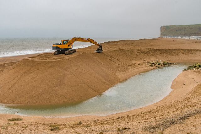
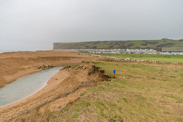
West Bay is a picturesque coastal village located in the county of Dorset, England. Situated at the mouth of the River Brit, it forms part of the larger parish of Bridport and offers stunning views of the Jurassic Coast, a UNESCO World Heritage Site.
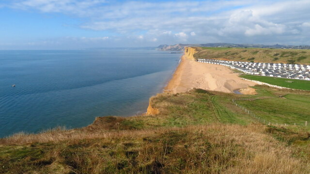
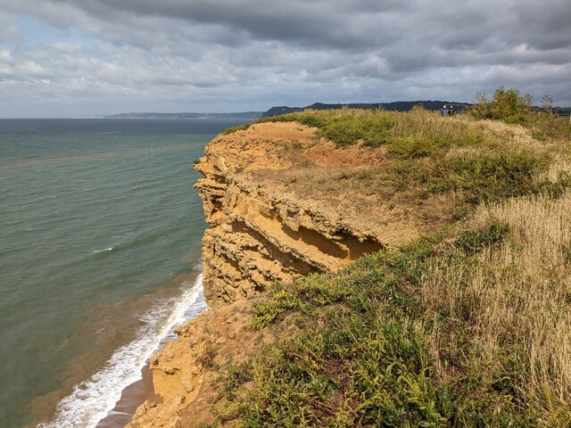
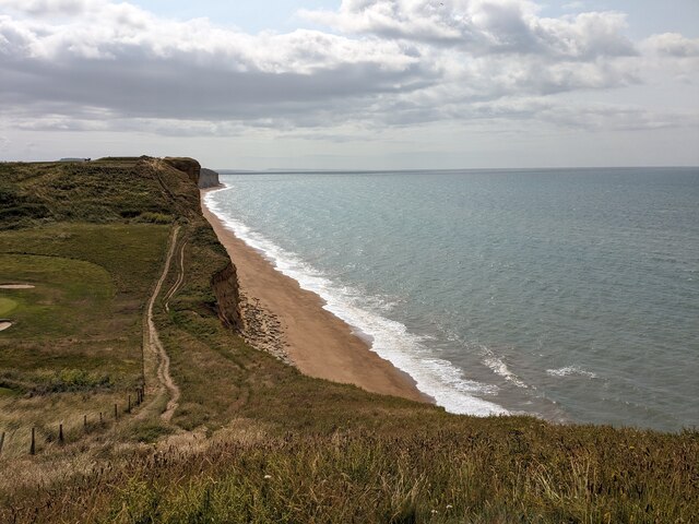
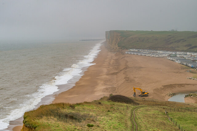
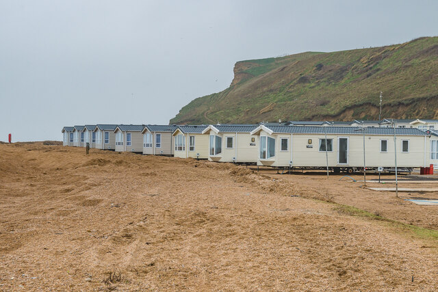
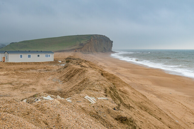
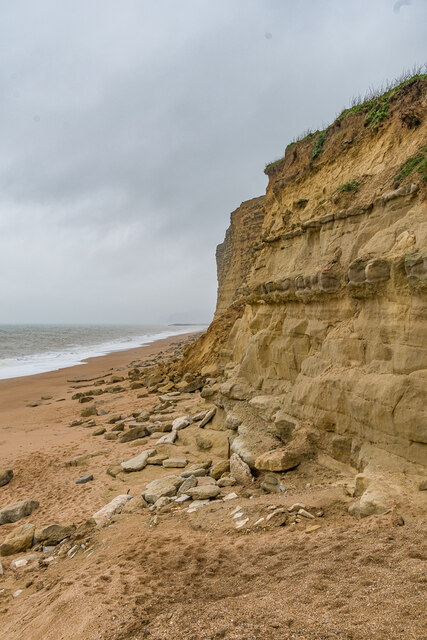
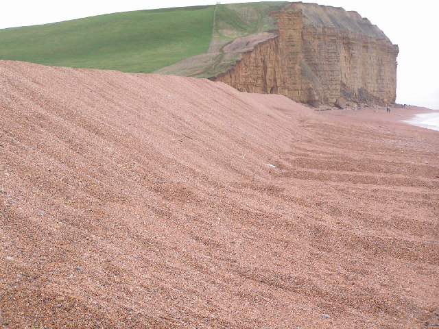
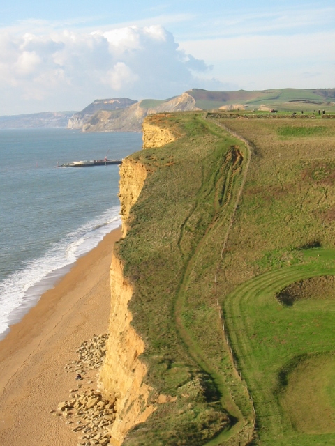
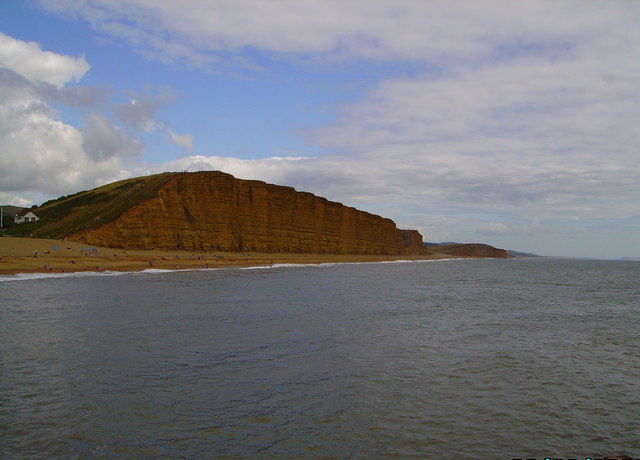
The village is characterized by its stunning cliffs, which showcase layers of ancient rock formations, with a rich geological history dating back millions of years. These cliffs also serve as a popular destination for fossil hunters, who come from far and wide in search of ammonites and other prehistoric remains.
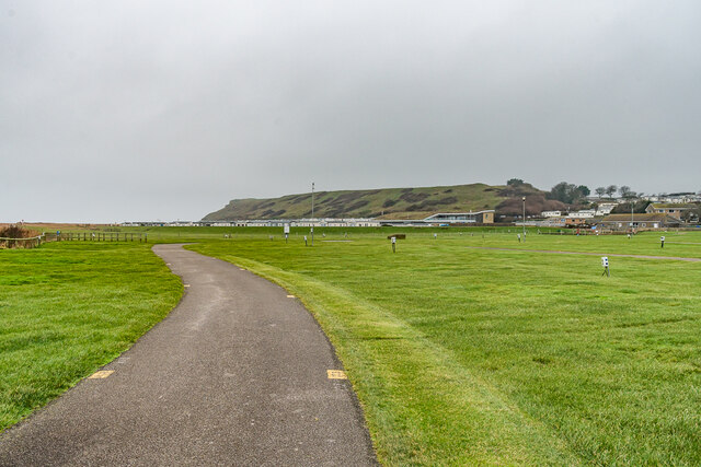
West Bay's main attraction is its beautiful sandy beach, which stretches for approximately two miles and provides an ideal spot for sunbathing, swimming, and various water sports activities. The beach is backed by a charming promenade lined with cafes, restaurants, and small shops, offering visitors a range of delicious local seafood and other culinary delights.
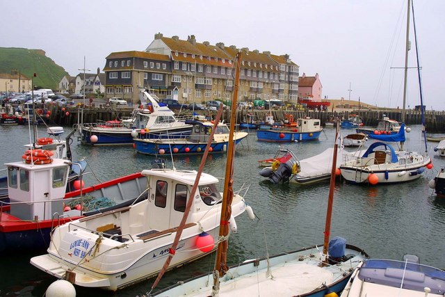
The village itself has retained much of its traditional charm, with quaint fishermen's cottages and narrow winding streets. The harbor is a central feature of West Bay, where colorful fishing boats bob up and down in the water, while local fishermen can be seen unloading their catch of the day.
West Bay is also famed for its role as the backdrop for the popular television series "Broadchurch," attracting fans of the show who come to explore the iconic locations featured in the programme.
With its stunning natural beauty, rich history, and vibrant coastal atmosphere, West Bay is a must-visit destination for those seeking a quintessential Dorset experience.
If you have any feedback on the listing, please let us know in the comments section below.
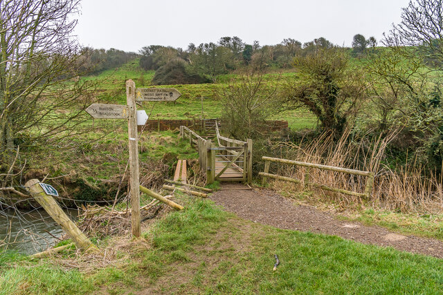
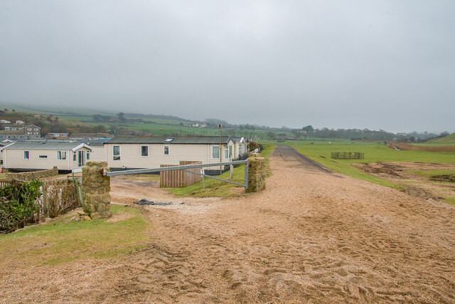
West Bay Images
Images are sourced within 2km of 50.711393/-2.7597026 or Grid Reference SY4690. Thanks to Geograph Open Source API. All images are credited.
West Bay is located at Grid Ref: SY4690 (Lat: 50.711393, Lng: -2.7597026)
Unitary Authority: Dorset
Police Authority: Dorset
What 3 Words
///dormant.jaundice.solo. Near Bridport, Dorset
Nearby Locations
Related Wikis
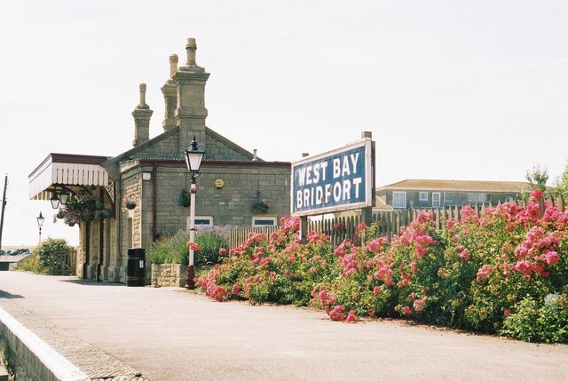
Bridport West Bay railway station
West Bay railway station was the terminus of the Bridport Railway in western Dorset, England. In 1879, the Great Western Railway, who held the operating...

St John's Church, West Bay
St John's Church is a Church of England church in West Bay, Dorset, England. It was built in 1935–39 to the designs of William Henry Randoll Blacking and...

Riverside Restaurant
The Riverside Restaurant was a seafood restaurant in West Bay, England. The building is situated on a causeway and as such the dining area was on two levels...
West Bay, Dorset
West Bay, originally known as Bridport Harbour, is a small harbour settlement and resort on the English Channel coast in Dorset, England, sited at the...
Nearby Amenities
Located within 500m of 50.711393,-2.7597026Have you been to West Bay?
Leave your review of West Bay below (or comments, questions and feedback).