Bradford Moor
Settlement in Yorkshire
England
Bradford Moor

Bradford Moor is a suburban area located in the city of Bradford, West Yorkshire, England. It is situated approximately 1.5 miles east of the city center and falls within the Bradford Moor ward. The area is predominantly residential, comprising a mix of housing types, including terraced houses, semi-detached properties, and some larger detached homes.
Bradford Moor benefits from its close proximity to various amenities and services. The area is well-served by public transportation, with several bus routes connecting it to the city center and surrounding areas. Additionally, the Bradford Interchange railway station is within easy reach, providing convenient links to other parts of the country.
Residents of Bradford Moor enjoy access to a range of local amenities. The area is home to several primary and secondary schools, making it an attractive choice for families with children. There are also several parks and green spaces in the vicinity, such as Peel Park and Lister Park, providing opportunities for outdoor activities and recreation.
In terms of facilities, Bradford Moor boasts a variety of shops, supermarkets, and small businesses, catering to the everyday needs of its residents. The area also benefits from the nearby Bradford Royal Infirmary, a large hospital providing healthcare services to the local community.
Overall, Bradford Moor offers a well-connected and convenient location for residents, with a range of amenities and services readily available.
If you have any feedback on the listing, please let us know in the comments section below.
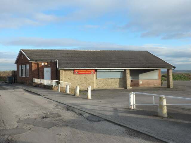
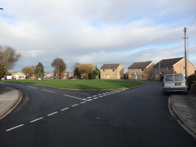
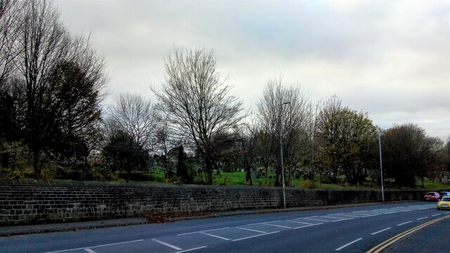
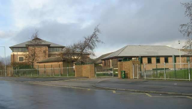
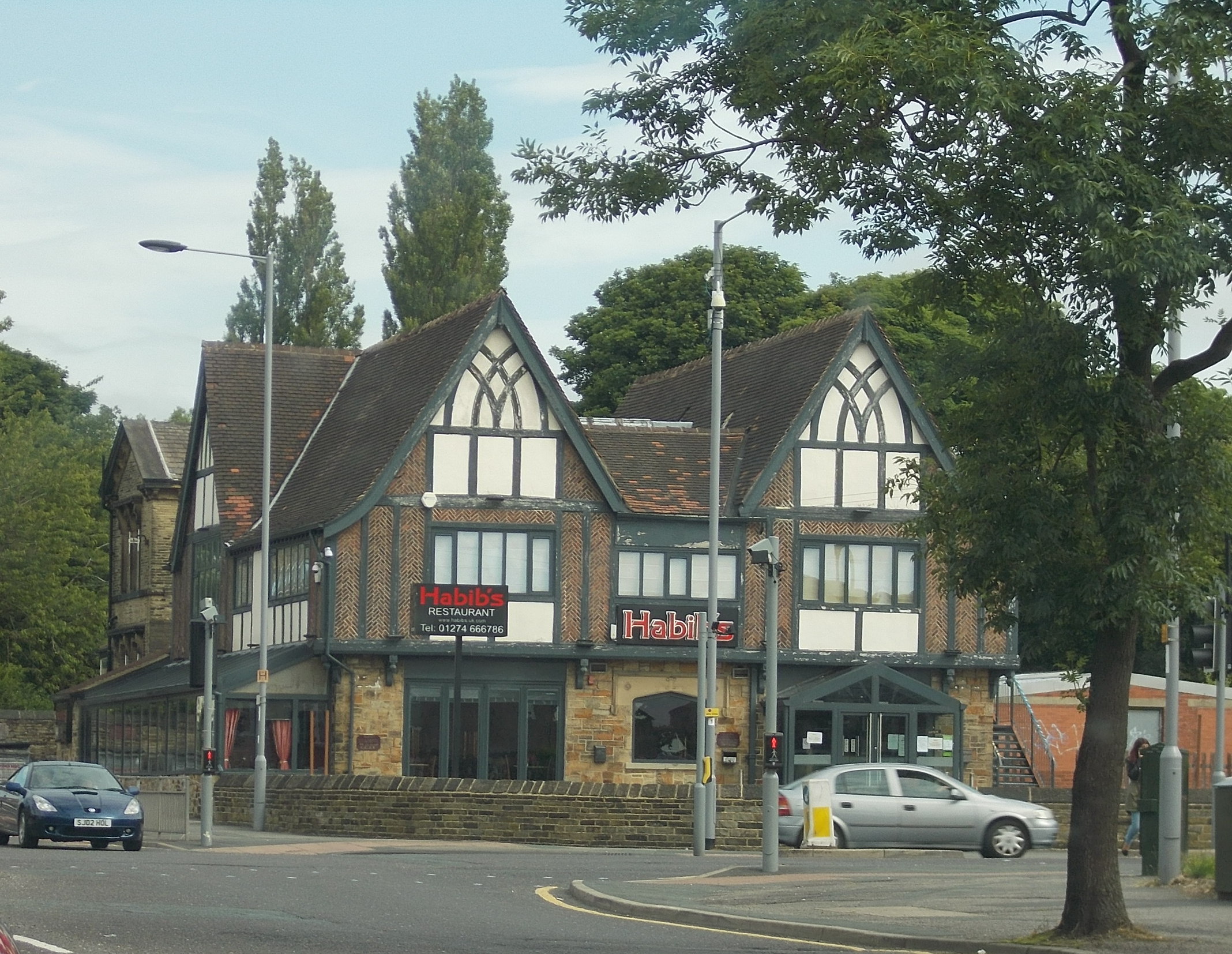
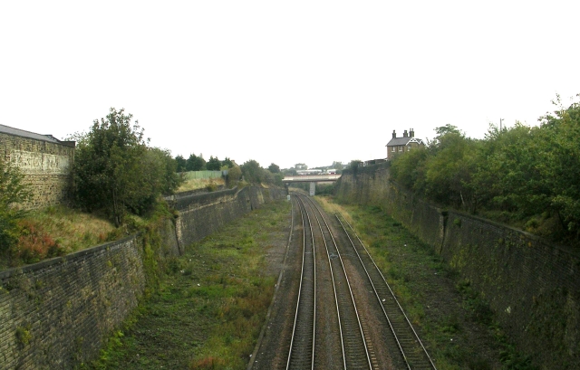
Bradford Moor Images
Images are sourced within 2km of 53.796751/-1.716829 or Grid Reference SE1833. Thanks to Geograph Open Source API. All images are credited.


Bradford Moor is located at Grid Ref: SE1833 (Lat: 53.796751, Lng: -1.716829)
Division: West Riding
Unitary Authority: Bradford
Police Authority: West Yorkshire
What 3 Words
///loves.tulip.relax. Near Bradford, West Yorkshire
Nearby Locations
Related Wikis
Laisterdyke Leadership Academy
Laisterdyke Leadership Academy is a co-educational secondary school and sixth form located in Bradford, West Yorkshire, England. == History == Following...
Bradford Moor Barracks
Bradford Moor Barracks was a military installation at Bradford in West Yorkshire, England. == History == The barracks were built between 1843 and 1844...

Thornbury, Bradford
Thornbury is an area of Bradford, in West Yorkshire, England on the border with the City of Leeds. Thornbury is located in the Bradford Moor ward and the...

Laisterdyke
Laisterdyke is an area of Bradford, West Yorkshire, England, situated to the east of the city on the border with City of Leeds and located in the Bradford...
Laisterdyke railway station
Laisterdyke railway station is a closed station in the city of Bradford, West Yorkshire, England, that served the suburb of the same name. == History... ==

Bradford Moor
Bradford Moor is an electoral ward within the City of Bradford Metropolitan District Council. The population of the ward at the 2011 Census was 21,210...
Tyersal
Tyersal is a village 2 miles (3 km) east of Bradford and 8 miles (13 km) west of Leeds and has a population of 2,605 according to Bradford Community Statistics...

Leeds Road Fever Hospital
The Leeds Road Fever Hospital in Bradford, West Yorkshire, England, was a founded in 1867. In 1962, it was one of the hospitals that were quarantined...
Related Videos

Festive walk in Bradford (17.11.23) (4K,HDR)
A walkthrough to the Bradford town centre at night (17.11.23) Now filmed with the new pocket 3 by DJI, The celebrations for the ...


Long Bank Holiday Weekend at City Park (Bradford) (4K)
Take a tour with me on a long Bank Holiday weekend at Bradford City Park. The Sun is shining and the kids are out to play by the ...

Nearby Amenities
Located within 500m of 53.796751,-1.716829Have you been to Bradford Moor?
Leave your review of Bradford Moor below (or comments, questions and feedback).