West Ayton
Settlement in Yorkshire Scarborough
England
West Ayton
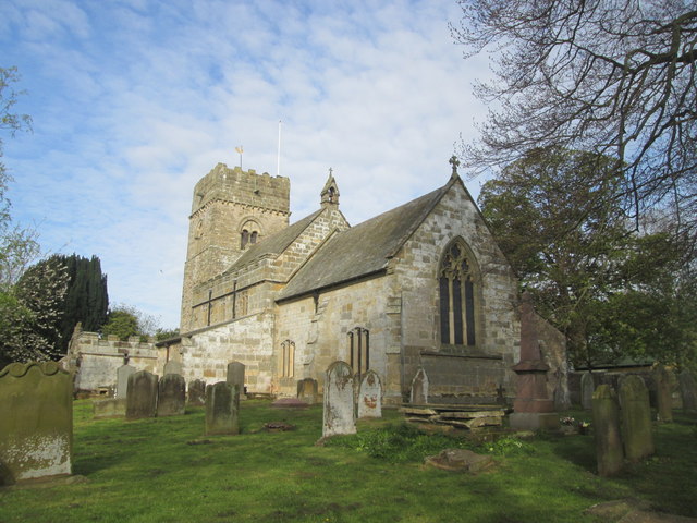
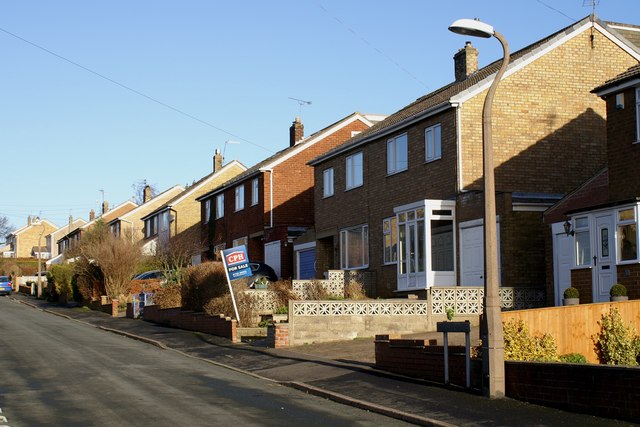
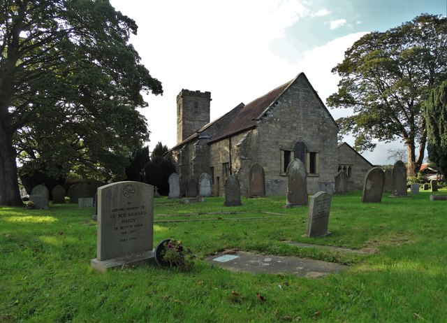
West Ayton is a picturesque village situated in the county of North Yorkshire, England. Located approximately four miles west of Scarborough, it lies on the southern bank of the River Derwent, near the eastern edge of the North York Moors National Park. With a population of around 800 residents, the village retains a close-knit community atmosphere.
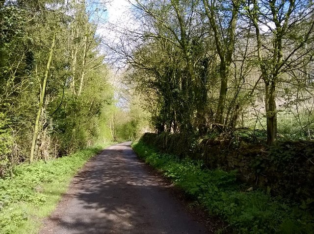
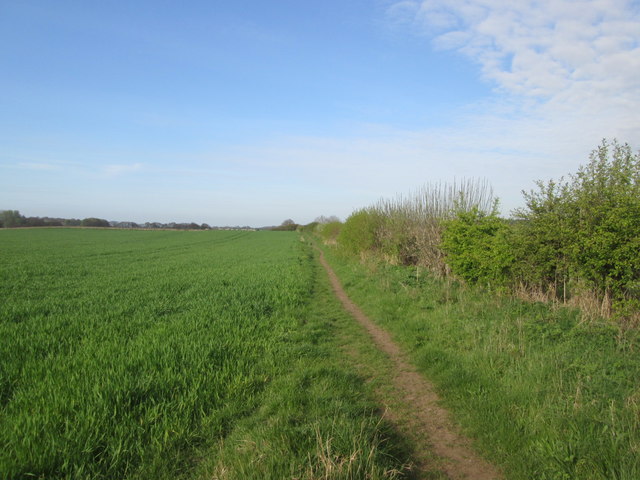
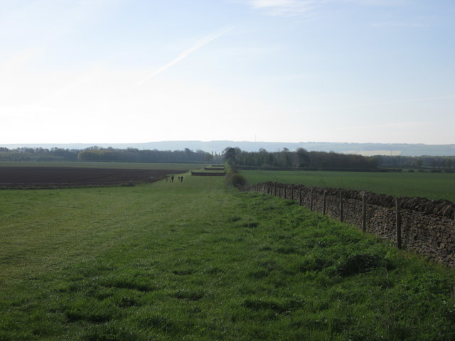
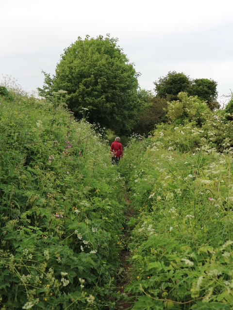
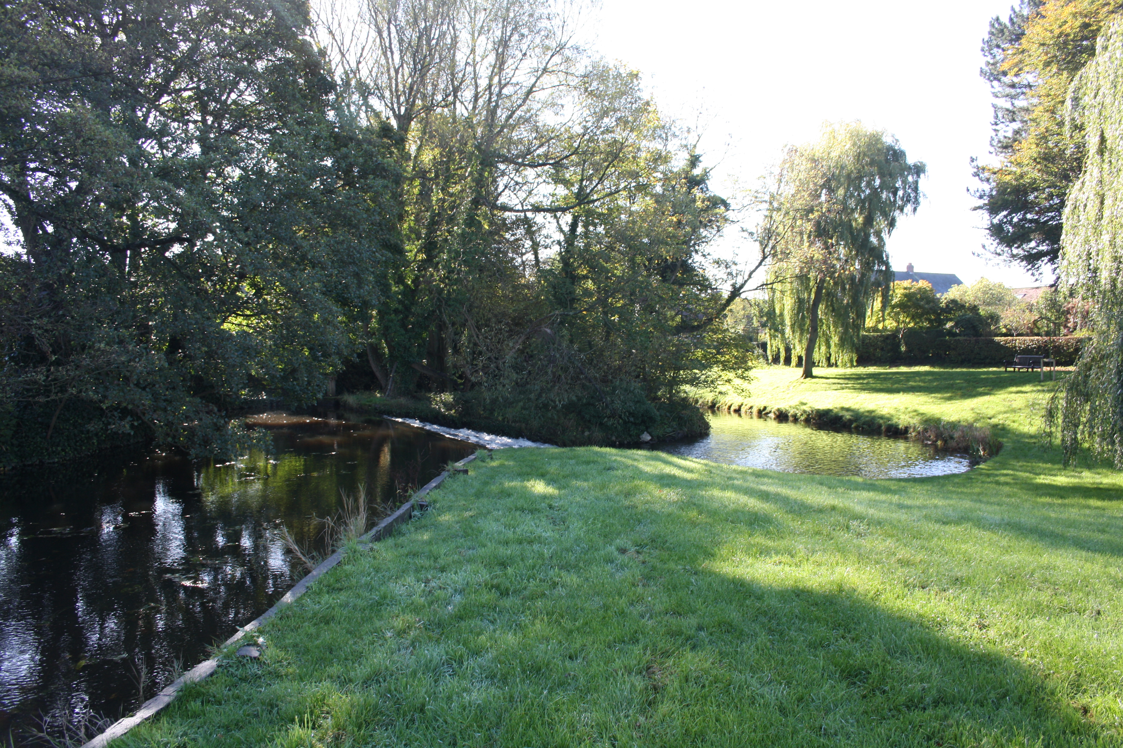
The village is known for its natural beauty, surrounded by rolling hills, lush green fields, and wooded areas. The nearby Forge Valley Woods Nature Reserve offers scenic walking trails and is home to a diverse range of flora and fauna. West Ayton also benefits from its proximity to the stunning Yorkshire coastline, providing residents and visitors with easy access to the sandy beaches and rugged cliffs.
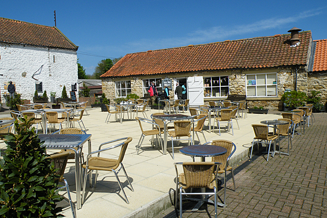
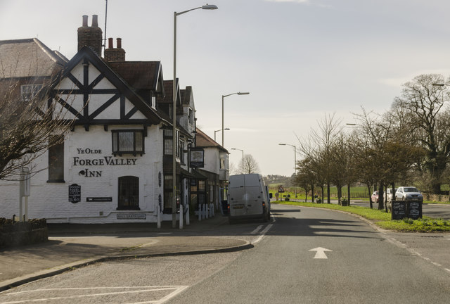
In terms of amenities, the village boasts a primary school, a pub, and a village hall that hosts various events throughout the year. There is also a small convenience store, ensuring basic supplies are readily available to residents. For more extensive shopping and leisure opportunities, the bustling town of Scarborough is just a short drive away.
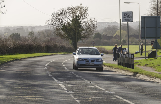
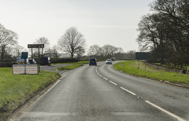
West Ayton is well-connected via road, with the A170 passing nearby, providing access to surrounding areas. The village is also served by regular bus services, offering convenient transportation links.
Overall, West Ayton offers a charming rural retreat, combining natural beauty with a friendly community spirit.
If you have any feedback on the listing, please let us know in the comments section below.
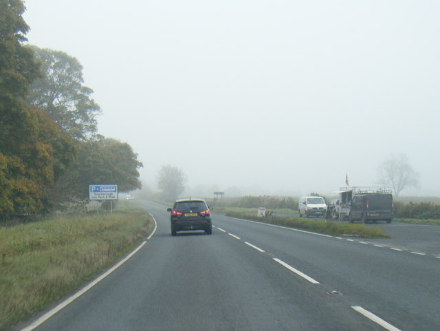
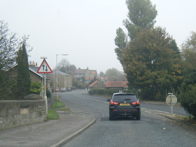
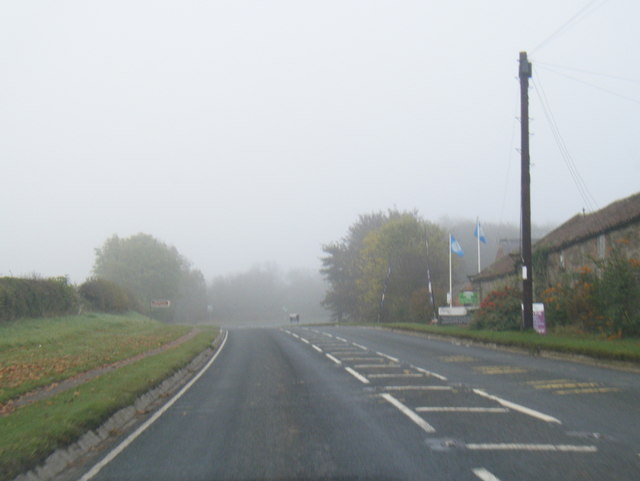
West Ayton Images
Images are sourced within 2km of 54.248873/-0.48680072 or Grid Reference SE9884. Thanks to Geograph Open Source API. All images are credited.
West Ayton is located at Grid Ref: SE9884 (Lat: 54.248873, Lng: -0.48680072)
Division: North Riding
Administrative County: North Yorkshire
District: Scarborough
Police Authority: North Yorkshire
What 3 Words
///cans.rating.hexes. Near East Ayton, North Yorkshire
Nearby Locations
Related Wikis
West Ayton
West Ayton is a village and civil parish in the Scarborough district of North Yorkshire, England. Located upon the west bank of the River Derwent adjacent...
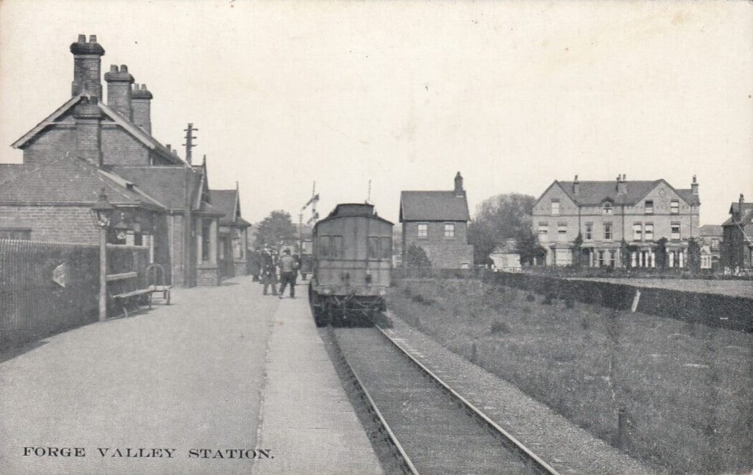
Forge Valley railway station
Forge Valley railway station was situated on the North Eastern Railway's Pickering to Seamer branch line. It served the twin villages of East and West...

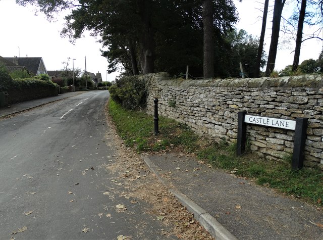
Ayton Castle, North Yorkshire
Ayton Castle is a ruined Grade I listed 14th century pele tower castle near West Ayton, North Yorkshire, England. == Location == The castle is sited at...

East Ayton
East Ayton is a village and civil parish in the Scarborough district of North Yorkshire, England. According to the 2011 UK census, East Ayton parish...
Nearby Amenities
Located within 500m of 54.248873,-0.48680072Have you been to West Ayton?
Leave your review of West Ayton below (or comments, questions and feedback).