Ayton, West

Settlement in Yorkshire Scarborough

England

Ayton, West

Bus shelter on B1261 in East Ayton Faced with stone to match the surrounding buildings, including the wall
Bus shelter on B1261 in East Ayton Credit: David Smith

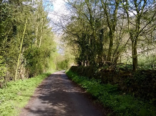
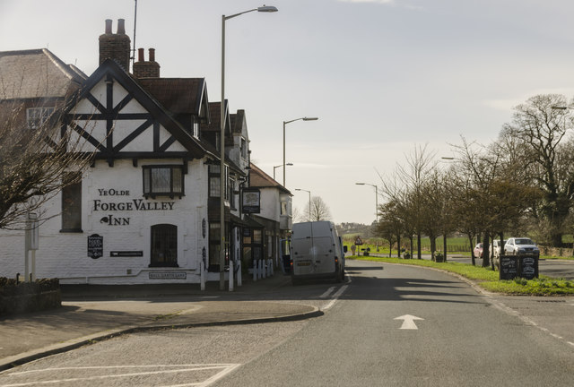
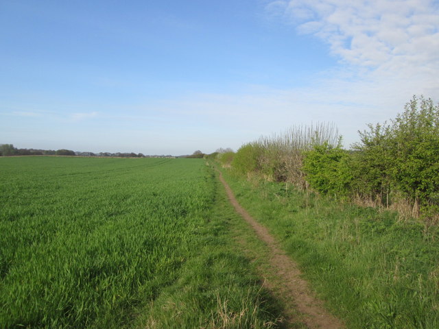
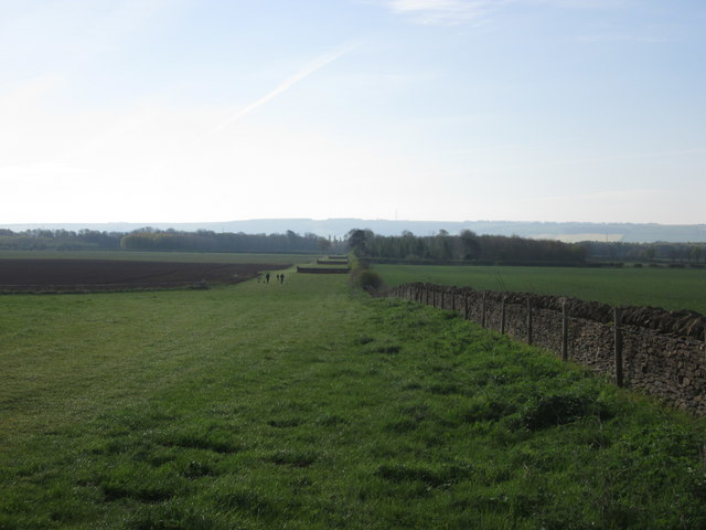
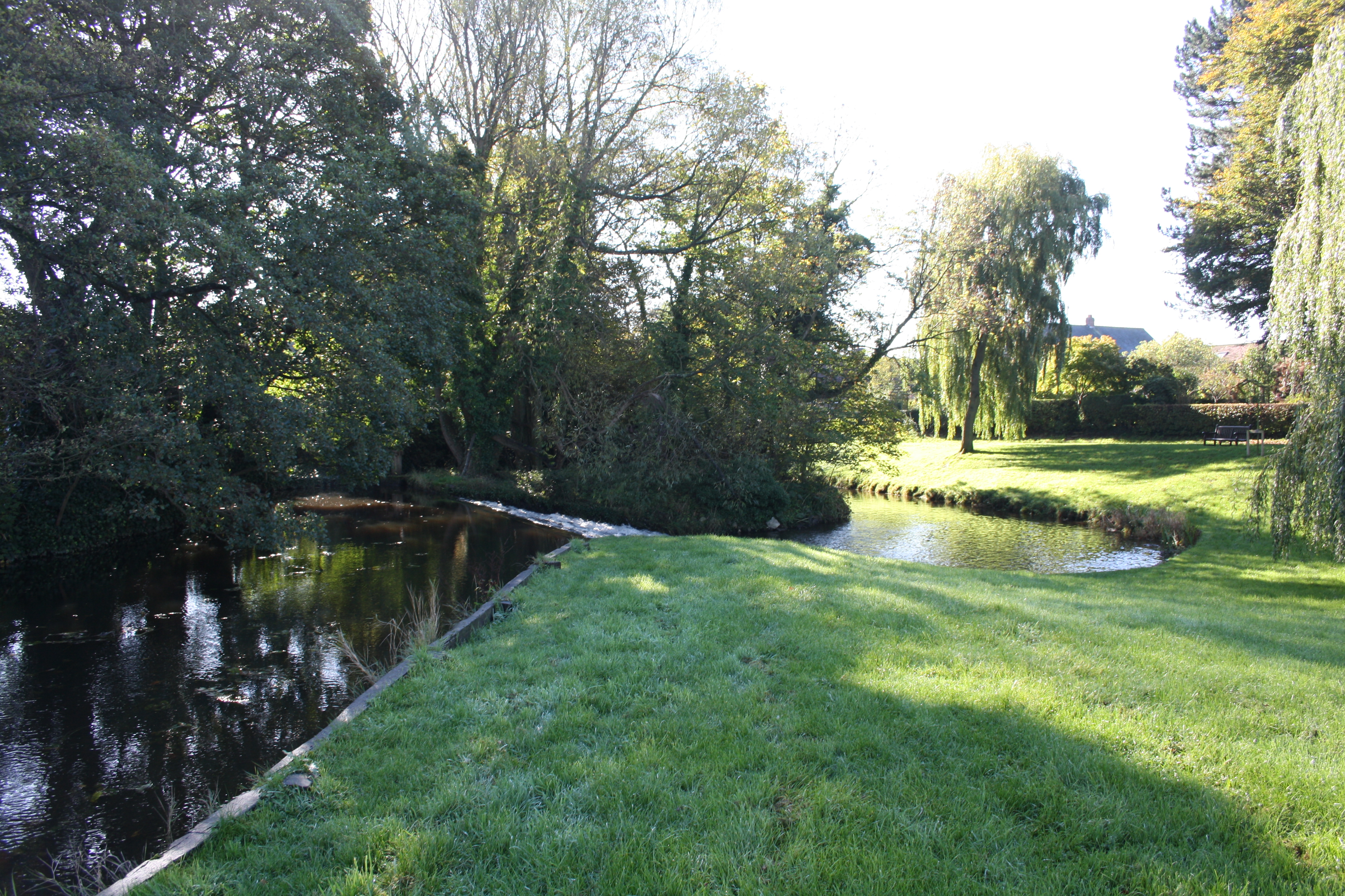
Ayton is a small village located in the West Riding of Yorkshire, England. Situated in a rural area, Ayton is surrounded by picturesque landscapes, including rolling hills and lush green fields. The village is part of the larger district of West Yorkshire and is approximately 10 miles west of the city of Leeds.

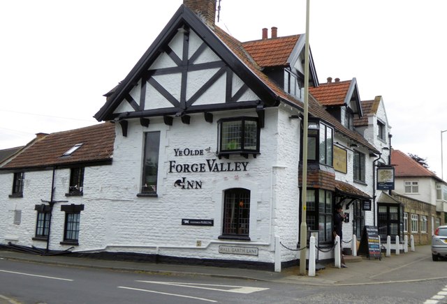
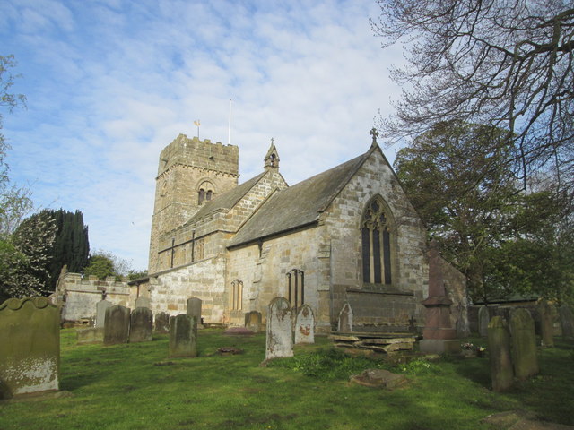
Ayton boasts a rich history that dates back many centuries. The origins of the village can be traced to medieval times, and evidence of its past can still be seen today in the form of historic buildings and structures. One notable landmark is Ayton Castle, a Grade II listed building that dates back to the 19th century.

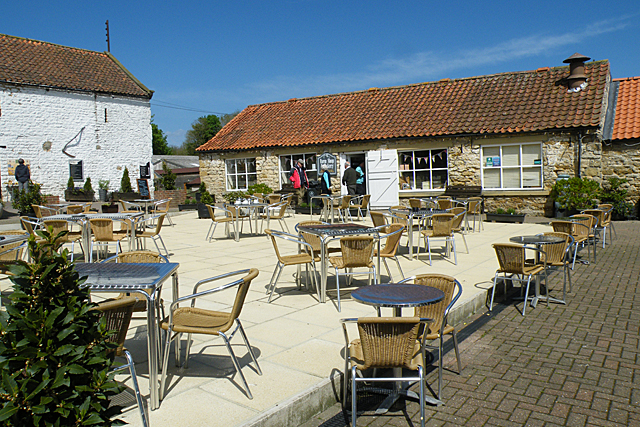
The village itself is characterized by a peaceful and close-knit community. With a population of around 500 residents, Ayton offers a tranquil and idyllic lifestyle away from the hustle and bustle of city living. The village has a strong sense of community spirit, with regular social events and gatherings that bring residents together.

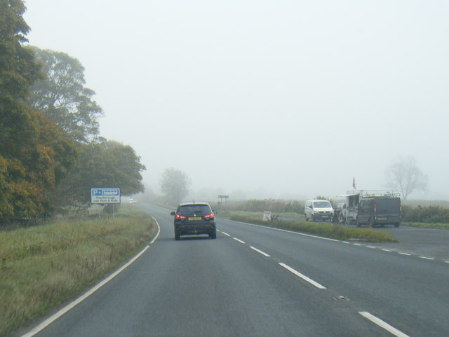
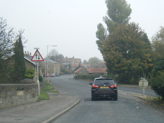
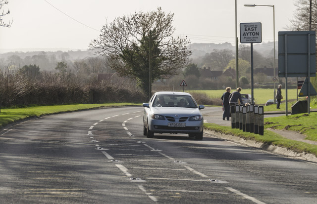
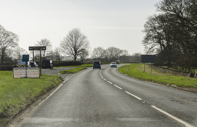
Ayton is well-connected to neighboring areas by road, making it easily accessible for both residents and visitors. The village also benefits from its proximity to the stunning Yorkshire Dales National Park, providing ample opportunities for outdoor activities such as hiking, cycling, and exploring the natural beauty of the region.

In summary, Ayton is a charming and historic village in West Yorkshire, known for its beautiful surroundings, sense of community, and easy access to the Yorkshire Dales.

If you have any feedback on the listing, please let us know in the comments section below.

Ayton, West Images

Images are sourced within 2km of 54.248873/-0.48680072 or Grid Reference SE9884. Thanks to Geograph Open Source API. All images are credited.

Bus shelter on B1261 in East Ayton Faced with stone to match the surrounding buildings, including the wall
Bus shelter on B1261 in East Ayton
Faced with stone to match the surrounding buildings, including the wall
The Denison Arms inn, East Ayton
Ye Olde Forge Valley inn, West Ayton
Grain harvest, Garth End Farm 1 Newly harvested grain has been dumped in the yard presumably awaiting loading into silos by the bucket loader.
Grain harvest, Garth End Farm 1
Newly harvested grain has been dumped in the yard presumably awaiting loading into silos by the bucket loader.
Grain harvest Garth End Farm 2 A close up of the mound of grain shown in context in <a href="https://www.geograph.org.uk/photo/4652774">SE9883 : Grain harvest, Garth End Farm 1</a>
Grain harvest Garth End Farm 2
A close up of the mound of grain shown in context in SE9883 : Grain harvest, Garth End Farm 1
Finished harvesting The field is just south of Garth End Farm shown in <a href="https://www.geograph.org.uk/photo/4652774">SE9883 : Grain harvest, Garth End Farm 1</a>. The flat land was occupied by Lake Pickering immediately after the last glaciation. This area was fully drained in the 19th century resulting in productive arable land. The Wolds escarpment is in the background, in this case Staxton Wold.
Finished harvesting
The field is just south of Garth End Farm shown in SE9883 : Grain harvest, Garth End Farm 1. The flat land was occupied by Lake Pickering immediately after the last glaciation. This area was fully drained in the 19th century resulting in productive arable land. The Wolds escarpment is in the background, in this case Staxton Wold.
A170 lay-by at Hutton Buscel
A170 crosses the River Derwent into East Ayton
A170 Racecourse Road looking east
Yedmandale The road through Yedmandale.
Yedmandale
The road through Yedmandale.
Courtyard at Betton Farm See <span class="nowrap"><a title="http://www.bettonfarm.co.uk/" rel="nofollow ugc noopener" href="http://www.bettonfarm.co.uk/">Link</a><img style="margin-left:2px;" alt="External link" title="External link - shift click to open in new window" src="https://s1.geograph.org.uk/img/external.png" width="10" height="10"/></span> for details of the farm and the facilities it offers. The gridline runs along the far side of the courtyard, so not only is the farm shop in the next square, it is also in the next hectad and the next myriad! (If this makes no sense to you, see <a title="https://www.geograph.org.uk/help/squares)" href="https://www.geograph.org.uk/help/squares)">Link</a>
Courtyard at Betton Farm
See LinkExternal link for details of the farm and the facilities it offers. The gridline runs along the far side of the courtyard, so not only is the farm shop in the next square, it is also in the next hectad and the next myriad! (If this makes no sense to you, see Link
Land girls 1942 near Scarborough This one is of historical interest, a digital restoration of an end print group of three land girls circa March 1942. The middle one is my wife's mother Betty Lowe who had vivid memories of WW2 and the Land Army. She was working on a farm near Scarborough from 1942 till the end of 1944. The location is as accurate as I can make it; she had told us once as she drove down the A170 that the farm worked on was there, not far from the road.
Land girls 1942 near Scarborough
This one is of historical interest, a digital restoration of an end print group of three land girls circa March 1942. The middle one is my wife's mother Betty Lowe who had vivid memories of WW2 and the Land Army. She was working on a farm near Scarborough from 1942 till the end of 1944. The location is as accurate as I can make it; she had told us once as she drove down the A170 that the farm worked on was there, not far from the road.
A170 Racecourse Road at East Ayton
Ye Olde Forge Valley Inn, West Ayton On the A170 Pickering Road.
Ye Olde Forge Valley Inn, West Ayton
On the A170 Pickering Road.
A170 near Hutton Buscel
Bridleway towards Wykeham Lane
St Matthew's Church, Hutton Buscel
Part of the point to point course near Wykeham
Show me another place!

Ayton, West is located at Grid Ref: SE9884 (Lat: 54.248873, Lng: -0.48680072)

Division: North Riding

Administrative County: North Yorkshire

District: Scarborough

Police Authority: North Yorkshire

What 3 Words

///cans.rating.hexes. Near East Ayton, North Yorkshire

Nearby Locations

West Ayton Ayton, West

Related Wikis

West Ayton

West Ayton is a village and civil parish in the Scarborough district of North Yorkshire, England. Located upon the west bank of the River Derwent adjacent...

Forge Valley railway station

Forge Valley railway station was situated on the North Eastern Railway's Pickering to Seamer branch line. It served the twin villages of East and West...

Ayton Castle, North Yorkshire

Ayton Castle is a ruined Grade I listed 14th century pele tower castle near West Ayton, North Yorkshire, England. == Location == The castle is sited at...

East Ayton

East Ayton is a village and civil parish in the Scarborough district of North Yorkshire, England. According to the 2011 UK census, East Ayton parish...

Nearby Amenities

Located within 500m of 54.248873,-0.48680072
Crossing
Crossing: traffic_signals
Crossing Ref: pelican
Lat/Long: 54.2503257/-0.4805579
West Ayton
Is In: North Yorkshire
Place: village
Lat/Long: 54.2477238/-0.4892962
Pub
The Forge Valley Inn
Addr City: Scarborough
Addr Postcode: YO13 9JE
Addr Street: Pickering Road
Lat/Long: 54.2486616/-0.4869626
Noexit: yes
Lat/Long: 54.2488285/-0.483683
Parking
Created By: Potlatch 0.9a
Lat/Long: 54.2489418/-0.4835258
Ayton Castle
Historic: castle
Ruins: yes
Wikidata: Q17526107
Wikipedia: en:Ayton Castle, North Yorkshire
Lat/Long: 54.2520141/-0.4856262
Pub
Denison Arms
Addr City: East Ayton
Addr Postcode: YO13 9HL
Addr Street: Main Street
Lat/Long: 54.2503187/-0.4809772
Place Of Worship
East Ayton Methodist Church
Addr City: East Ayton
Addr Postcode: YO13 9JE
Addr Street: Pickering Road
Denomination: methodist
Religion: christian
Lat/Long: 54.2488183/-0.4856086
Spar
Addr City: East Ayton
Addr Country: GB
Addr Housenumber: 13,14
Addr Postcode: YO13 9HL
Addr Street: Main Street
Brand: Spar
Brand Wikidata: Q610492
Brand Wikipedia: en:Spar (retailer)
Fhrs Id: 197244
Shop: convenience
Website: https://www.spar.co.uk/store-locator/hal24766-spar-manor-garage/
Lat/Long: 54.2497681/-0.4821964
Post Box
Post Box Type: lamp
Lat/Long: 54.2487557/-0.4863374
Restaurant
Walkers
Addr City: East Avton
Addr Country: GB
Addr Housenumber: 17
Addr Postcode: YO13 9HJ
Addr Street: Main Street
Cuisine: fish
Fhrs Id: 161312
Lat/Long: 54.2499765/-0.4829713
Note: there was a pillar box here till 2009
Removed Amenity: post_box
Lat/Long: 54.2501395/-0.4835479
Fast Food
East Ayton Fisheries
Addr City: East Avton
Addr Country: GB
Addr Housenumber: 33
Addr Postcode: YO13 9HL
Addr Street: Main Street
Cuisine: fish_and_chips
Fhrs Id: 741187
Lat/Long: 54.2501582/-0.4820918
Library
Derwent Valley Bridge Community Library
Addr City: West Ayton
Addr Postcode: YO13 9JE
Addr Street: Pickering Road
Wikidata: Q45840348
Lat/Long: 54.2486821/-0.4864796
Fuel
Addr Postcode: YO13 9HL
Brand: Shell
Brand Wikidata: Q110716465
Opening Hours: Mo-Su 07:00-22:00
Phone: +44 1723 865112
Ref Navads: NVDS353_11376844
Website: https://find.shell.com/gb/fuel/11376844-gem-east-ayton
Lat/Long: 54.2499075/-0.4825638
Pharmacy
Delivery Chemist
Addr City: East Ayton
Addr Postcode: YO13 9HL
Addr Street: Main Street
Lat/Long: 54.2501677/-0.4819603
Booth: KX100
Check Date: 2023-03-10
Covered: booth
Disused Amenity: telephone
Man Made: telephone_box
Lat/Long: 54.2488709/-0.4859324
Bus Stop
Naptan AtcoCode: 3200YNA01064
Naptan NaptanCode: 32001064
Shelter: yes
Lat/Long: 54.2488686/-0.4873057
Post Box
Post Box Type: pillar
Ref: YO13 195
Royal Cypher: EIIR
Royal Cypher Wikidata: Q33102113
Lat/Long: 54.2496456/-0.4823359
Bus Stop
Naptan AtcoCode: 3200YNA96560
Naptan NaptanCode: 32096560
Lat/Long: 54.2500154/-0.4826258
Post Office
East Ayton Post Office
Addr City: Scarborough
Addr Country: GB
Addr Housenumber: 13-14
Addr Postcode: YO13 9HL
Addr Street: Main Street
Addr Village: East Ayton
Brand: Post Office
Brand Wikidata: Q1783168
Opening Hours: Mo-Su 08:00-21:00
Ref Pol Id: 5615
Website: https://www.postoffice.co.uk/branch-finder/1843370/east-ayton
Lat/Long: 54.24955/-0.4822289
Bench
Lat/Long: 54.2467608/-0.4878067
Post Box
Post Box Type: lamp
Ref: YO13 210D
Royal Cypher: EIIR
Royal Cypher Wikidata: Q33102113
Lat/Long: 54.2467325/-0.4879274
Bench
Backrest: yes
Lat/Long: 54.2470736/-0.4923384
Bench
Lat/Long: 54.2488757/-0.4872399
Bench
Lat/Long: 54.2488867/-0.4871943
Windyleas Farm
Place: farm
Lat/Long: 54.2469397/-0.4800712
Low Mill Farm
Place: farm
Lat/Long: 54.2462353/-0.4844324
Crossing
Crossing: island
Lat/Long: 54.2481658/-0.4891886
Bus: yes
Public Transport: stop_position
Lat/Long: 54.2489452/-0.4859565
Defibrillator
Access: yes
Defibrillator Location: outside Derwent Valley Bridge Community Library, Pickering Road, West Ayton
Emergency: defibrillator
Indoor: no
Lat/Long: 54.2487209/-0.4865067
Entrance: yes
Lat/Long: 54.2487277/-0.4864729
Recycling
Recycling Type: container
Lat/Long: 54.2483171/-0.4865015
The data included in this document is from www.openstreetmap.org. The data is made available under ODbL.

Have you been to Ayton, West?

Leave your review of Ayton, West below (or comments, questions and feedback).