Ashling, West

Settlement in Sussex Chichester

England

Ashling, West

Field edge in late sunlight above Funtington The distant water is Chichester Harbour, with the sea on the horizon.
Field edge in late sunlight above Funtington Credit: David Martin

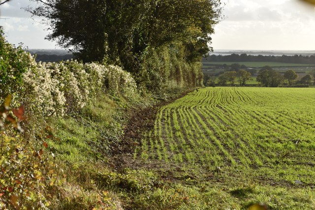
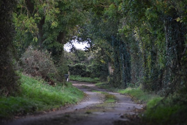
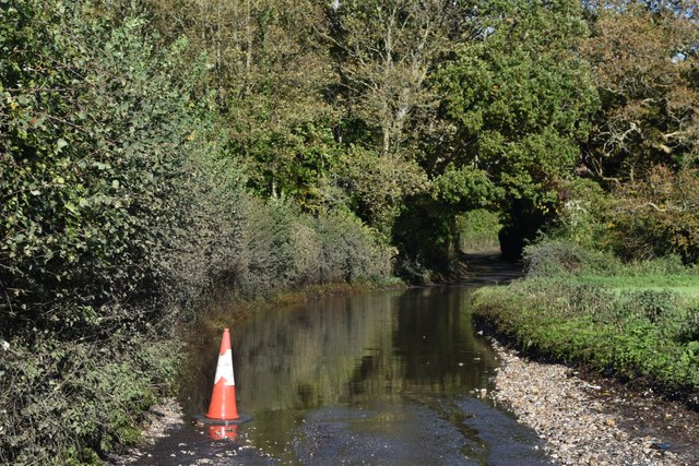
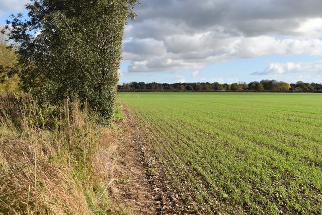
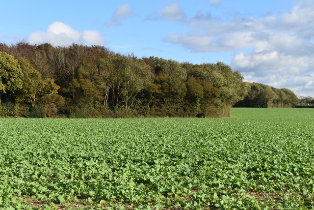
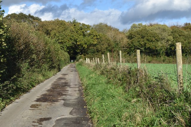
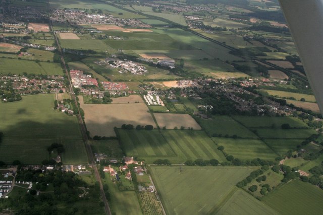
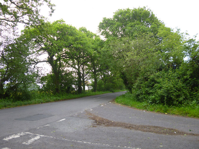
Ashling is a small village located in West Sussex, England. Situated in the South Downs National Park, it is nestled between the towns of Chichester and Bognor Regis. The village is surrounded by picturesque English countryside, characterized by rolling hills, lush green fields, and charming woodlands.

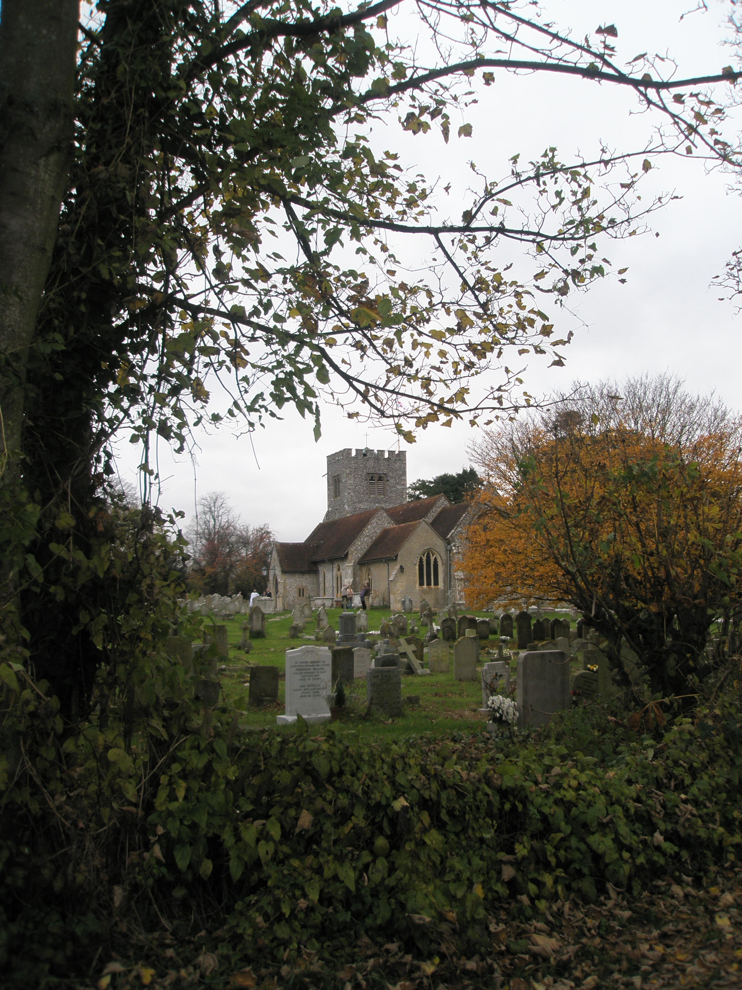
With a population of around 200 residents, Ashling is known for its peaceful and idyllic atmosphere. The village is centered around a small green, where the historic St. Peter's Church can be found. Dating back to the 13th century, the church is a notable architectural landmark in the area.

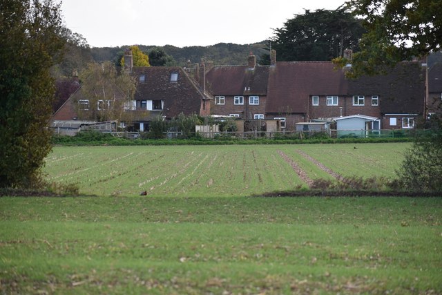
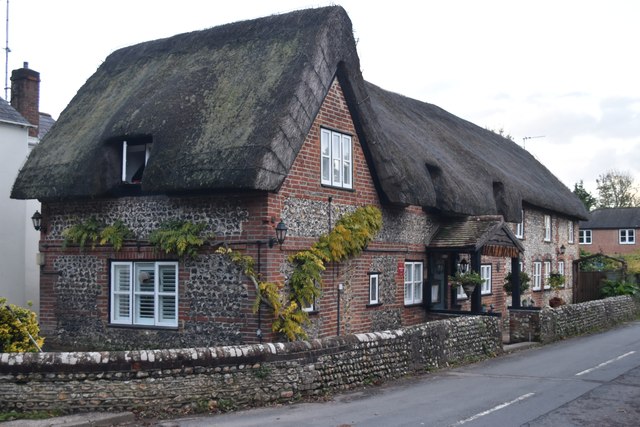
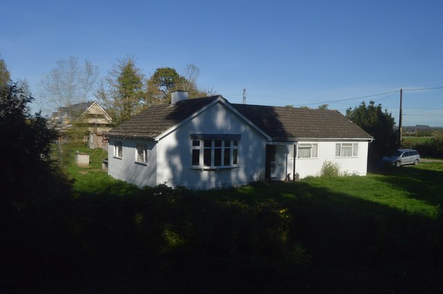
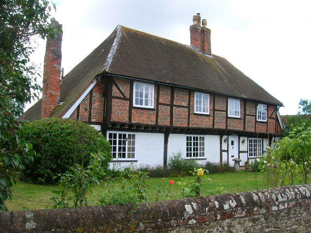
The village itself consists of a mix of traditional thatched cottages and more modern homes, blending together to create a charming aesthetic. The local community is close-knit and friendly, with various community events and activities taking place throughout the year, such as the annual village fete.

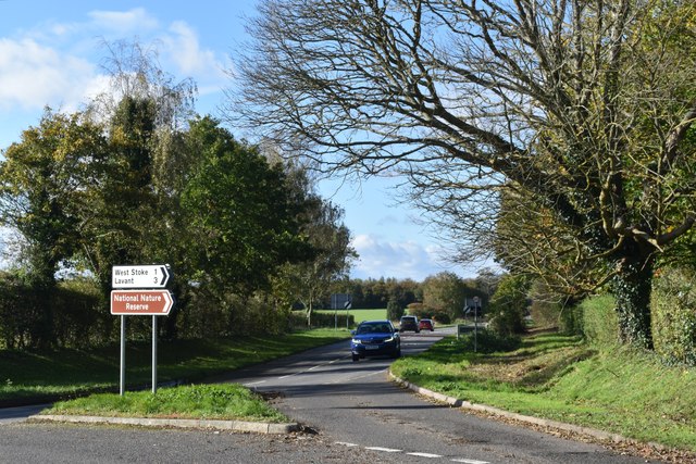
Ashling is a popular destination for outdoor enthusiasts, offering numerous walking and cycling routes that showcase the natural beauty of the surrounding area. The nearby Chichester Harbour, a designated Area of Outstanding Natural Beauty, is a haven for birdwatchers and nature lovers, with its diverse ecosystem and stunning coastal views.

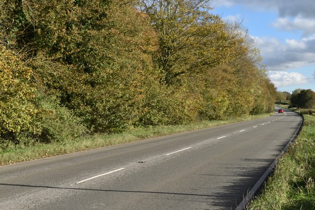
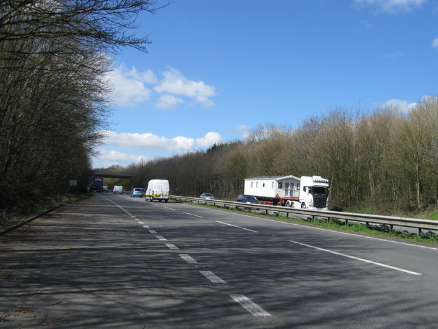
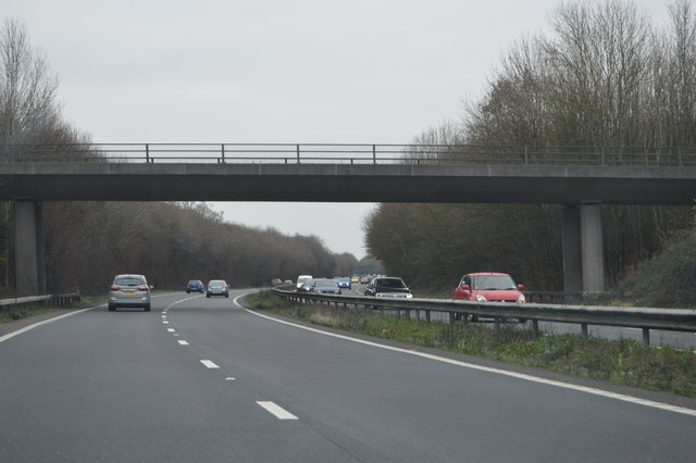
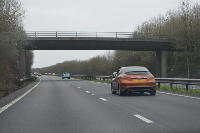
For amenities, residents of Ashling rely on the nearby towns and villages for shopping, schools, and healthcare facilities. The village benefits from excellent transport links, with regular bus services connecting it to Chichester and Bognor Regis, and the A27 road providing easy access to the wider region.

In summary, Ashling is a tranquil and scenic village in West Sussex, offering a peaceful retreat for those seeking a slower pace of life amidst stunning natural surroundings.

If you have any feedback on the listing, please let us know in the comments section below.

Ashling, West Images

Images are sourced within 2km of 50.860659/-0.85463406 or Grid Reference SU8007. Thanks to Geograph Open Source API. All images are credited.

Field edge in late sunlight above Funtington The distant water is Chichester Harbour, with the sea on the horizon.
Field edge in late sunlight above Funtington
The distant water is Chichester Harbour, with the sea on the horizon.
Haresfoot Close, Funtington, seen across fields
Private drive to Funtington Down House
Flooding on Stoke Road Despite Storm Ciaran passing through in the preceding week the surrounding countryside was merely muddy: it seems as if all the local water has drained into this dip in Stoke Road.  There was about 25cm of water, but it was very hard for drivers to assess the depth with some ploughing through and others turning back.
Flooding on Stoke Road
Despite Storm Ciaran passing through in the preceding week the surrounding countryside was merely muddy: it seems as if all the local water has drained into this dip in Stoke Road. There was about 25cm of water, but it was very hard for drivers to assess the depth with some ploughing through and others turning back.
Field east of the road junction at East Ashling
Road junction at East Ashling Looking west along the B2178
Road junction at East Ashling
Looking west along the B2178
Field edge beside the B2178
B2178 towards East Ashling
Southern edge of Ashling Wood
View along Woodend towards Ashling Wood
Hallidays Restaurant, Funtington Restaurant in C14th thatched building.
Hallidays Restaurant, Funtington
Restaurant in C14th thatched building.
House by Green Lane
House by Green Lane
Lay-by A27
Lay-by A27
Hambrook: aerial 2017
House by West Coastway Line
Cheesemans Lane Bridge, A27 The A27 runs 103 miles from Whiteparish near Salisbury to Pevensey near Eastbourne. It runs parallel with the south coast and the South Downs. <span class="nowrap"><a title="http://www.sabre-roads.org.uk/wiki/index.php?title=A27" rel="nofollow ugc noopener" href="http://www.sabre-roads.org.uk/wiki/index.php?title=A27">Link</a><img style="margin-left:2px;" alt="External link" title="External link - shift click to open in new window" src="https://s1.geograph.org.uk/img/external.png" width="10" height="10"/></span>
Cheesemans Lane Bridge, A27
The A27 runs 103 miles from Whiteparish near Salisbury to Pevensey near Eastbourne. It runs parallel with the south coast and the South Downs. LinkExternal link
Newells Lane Bridge, A27 The A27 runs 103 miles from Whiteparish near Salisbury to Pevensey near Eastbourne. It runs parallel with the south coast and the South Downs. <span class="nowrap"><a title="http://www.sabre-roads.org.uk/wiki/index.php?title=A27" rel="nofollow ugc noopener" href="http://www.sabre-roads.org.uk/wiki/index.php?title=A27">Link</a><img style="margin-left:2px;" alt="External link" title="External link - shift click to open in new window" src="https://s1.geograph.org.uk/img/external.png" width="10" height="10"/></span>
Newells Lane Bridge, A27
The A27 runs 103 miles from Whiteparish near Salisbury to Pevensey near Eastbourne. It runs parallel with the south coast and the South Downs. LinkExternal link
Scant Road (East) meets West Ashling Road
Show me another place!

Ashling, West is located at Grid Ref: SU8007 (Lat: 50.860659, Lng: -0.85463406)

Administrative County: West Sussex

District: Chichester

Police Authority: Sussex

What 3 Words

///banks.curtail.skinning. Near Bosham, West Sussex

Nearby Locations

Ashling, West West Ashling

Related Wikis

RAF Funtington

Royal Air Force Funtington or more simply RAF Funtington is a former Royal Air Force Advanced Landing Ground located in West Sussex, England. == History... ==

Funtington

Funtington is a village and civil parish in the Chichester district of West Sussex, England. It lies on the B2146 Road 4.5 miles (7.2 km) west of Chichester...

Bosham railway station

Bosham railway station serves the small village of Bosham in West Sussex, England. It is located on the West Coastway Line that runs between Brighton and...

Chichester West (electoral division)

Chichester West is an electoral division of West Sussex in the United Kingdom, and returns one member to sit on West Sussex County Council. The current...

Nutbourne railway station

Nutbourne railway station serves the village of Nutbourne, near Chichester in West Sussex, England. It is located on the West Coastway Line that runs between...

Nutbourne, Chichester

Nutbourne is a village in the Chichester District of West Sussex, England located 2 miles (3.2 km) east of Emsworth on the A259 road. It is in the civil...

Sennicotts

Sennicotts is a small estate near Chichester, West Sussex, England, formed in 1809 by Charles Baker (1761–1839) having retired after serving in Madras...

Woodmancote, Chichester District

Woodmancote is a village in the Chichester district of West Sussex, England. It lies just off the B2147 road 2 miles (3.2 km) northeast of Emsworth. It...

Nearby Amenities

Located within 500m of 50.860659,-0.85463406
West Ashling
Is In: West Sussex, England, UK
Place: hamlet
Source: npe
Lat/Long: 50.8603933/-0.8487596
Pub
Richmond Arms
Addr City: Chichester
Addr Postcode: PO18 8EA
Addr Street: Mill Road
Addr Suburb: West Ashling
Fhrs Authority: Chichester
Fhrs Id: 1470090
Fhrs Local Authority Id: 22/00021/FOOD
Source: visit to pub
Website: https://www.therichmondarms.co.uk/
Lat/Long: 50.8598861/-0.855787
Post Box
Collection Plate: CP7
Collection Times: Mo-Fr 16:15; Sa 08:00
Operator: Royal Mail
Post Box Type: lamp
Ref: PO18 111
Royal Cypher: EIIR
Royal Cypher Wikidata: Q33102113
Lat/Long: 50.8579837/-0.8593555
Bus Stop
Richmond Arms
Naptan AtcoCode: 4400CH0405
Naptan Bearing: SW
Naptan CommonName: Richmond Arms
Naptan Indicator: Richmond Arms P.H.
Naptan Landmark: adj Malthouse Lane
Naptan NaptanCode: wsxajapw
Naptan Street: Mill Road
Naptan Verified: no
Source: naptan_import
Lat/Long: 50.8597072/-0.8564081
Bus Stop
Southbrook Road
Bus: yes
Naptan AtcoCode: 4400CH0406
Naptan Bearing: E
Naptan CommonName: Southbrook Road
Naptan Indicator: adj Heather Close
Naptan Landmark: Southbrook Road
Naptan NaptanCode: wsxajata
Naptan Street: Down Street
Naptan Verified: no
Public Transport: platform
Source: naptan_import
Lat/Long: 50.8606918/-0.8490401
Barrier: stile
Foot: yes
Lat/Long: 50.8592728/-0.8604857
Post Box
Collection Plate: CP7
Collection Times: Mo-Fr 17:00; Sa 08:00
Operator: Royal Mail
Operator Type: private
Operator Wikidata: Q638098
Post Box Type: lamp
Ref: PO18 92
Royal Cypher: EIIR
Royal Cypher Wikidata: Q33102113
Lat/Long: 50.8604295/-0.8483575
Addr City: West Ashling, Chichester
Addr Postcode: PO18 8DN
Addr Street: Southbrook Road / Down Street
Old Phone: 01243 576048
Removed Amenity: telephone
Lat/Long: 50.8603939/-0.8483468
Turning Circle
Lat/Long: 50.8608511/-0.8482857
Defibrillator
Defibrillator Location: On the wall outside the entrance to this pub.
Emergency: defibrillator
Indoor: no
Source: survey
Lat/Long: 50.8599056/-0.8558778
Bench
Backrest: yes
Material: wood
Lat/Long: 50.8590159/-0.85936
Bench
Backrest: yes
Material: wood
Lat/Long: 50.8590543/-0.8589113
Leisure: playground
Lat/Long: 50.859768/-0.8528191
The data included in this document is from www.openstreetmap.org. The data is made available under ODbL.

Have you been to Ashling, West?

Leave your review of Ashling, West below (or comments, questions and feedback).