Bradford
Settlement in Cornwall
England
Bradford

Bradford, Cornwall is a picturesque village located in the southwestern part of England. Situated in the county of Cornwall, it lies in close proximity to the Atlantic Ocean, offering stunning coastal views and a mild maritime climate. The village is situated about 10 miles south of the bustling city of Truro.
Bradford is a quaint and charming village that exudes a sense of tranquility and natural beauty. It is surrounded by rolling hills, lush green fields, and picturesque countryside. The village itself is known for its traditional stone cottages, narrow streets, and a sense of community spirit.
Despite its small size, Bradford offers a range of amenities to its residents and visitors. There are a few local shops and quaint cafes where visitors can enjoy a cup of tea or sample traditional Cornish pasties. The village also boasts a local pub, where locals gather to socialize and enjoy a pint of locally brewed ale.
One of the highlights of Bradford is its proximity to the stunning coastline. The village is just a short drive away from beautiful sandy beaches, rugged cliffs, and hidden coves. This makes it an ideal location for outdoor enthusiasts, who can explore the coastal paths, go surfing, or simply relax on the beach.
Overall, Bradford, Cornwall is a charming village that offers a peaceful and idyllic retreat in the heart of the English countryside. With its natural beauty, sense of community, and access to the stunning coastline, it is a destination that is sure to captivate visitors from near and far.
If you have any feedback on the listing, please let us know in the comments section below.
Bradford Images
Images are sourced within 2km of 50.548242/-4.656208 or Grid Reference SX1175. Thanks to Geograph Open Source API. All images are credited.


Bradford is located at Grid Ref: SX1175 (Lat: 50.548242, Lng: -4.656208)
Unitary Authority: Cornwall
Police Authority: Devon and Cornwall
What 3 Words
///months.indulgent.occurs. Near Helland, Cornwall
Nearby Locations
Related Wikis

Bradford, Cornwall
Bradford is a hamlet in the county of Cornwall, England, UK, 10.3 km north-northeast of the town of Bodmin, north of the A30 road. Bradford is in the valley...
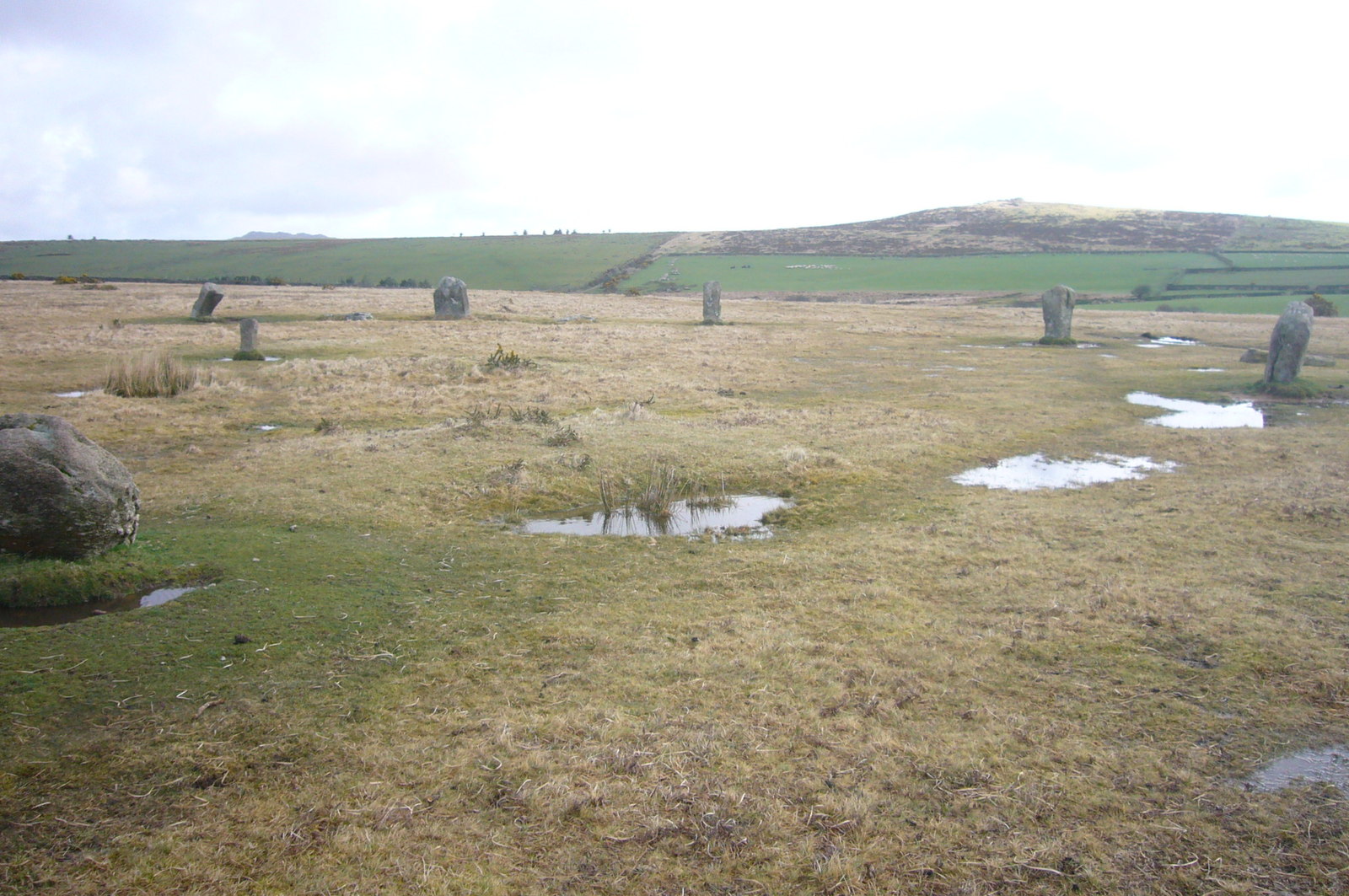
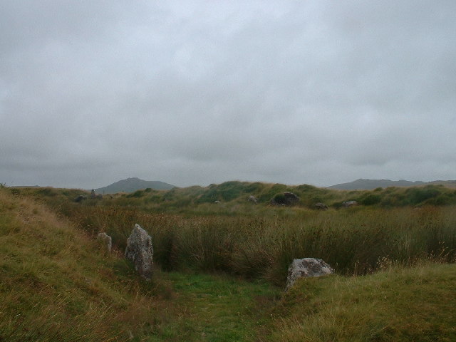
Trippet stones
The Trippet stones or Trippet stones circle is a stone circle located on Manor Common in Blisland, 9 kilometres (5.6 mi) north northeast of Bodmin on Bodmin...

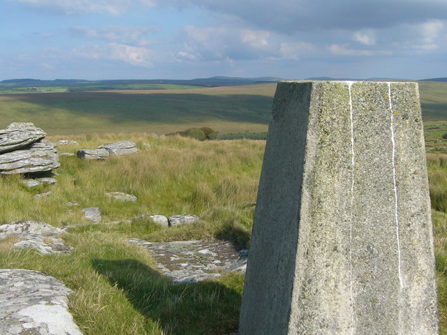
Jubilee Rock
Jubilee Rock is a Grade II listed large rock on Pendrift Downs in the parish of Blisland, Cornwall, England. On the north side is carved the Falmouth...

De Lank Quarries
De Lank Quarries (grid reference SX101753) is an active quarry and a 54-acre geological Site of Special Scientific Interest in St Breward parish, north...
Pendrift
Pendrift is a hamlet north of Blisland in Cornwall, England. == References ==
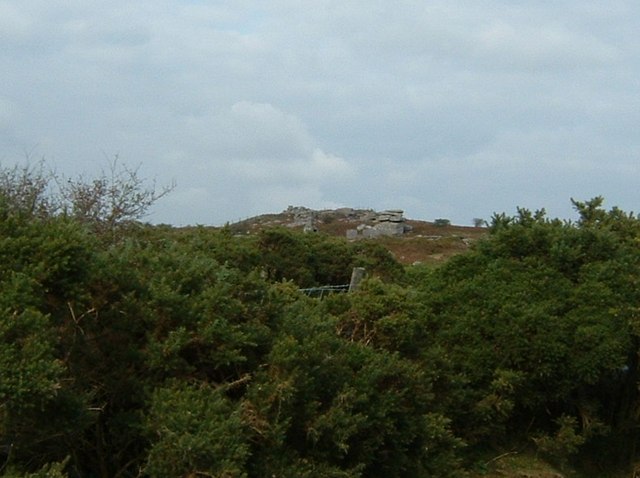
Hawk's Tor, Blisland
Hawk's Tor is a hill and tor on Bodmin Moor in Cornwall, England, UK. Its summit is 307 metres (1,007 ft) above sea level.The tor, which is in the civil...
King Arthur's Hall
King Arthur's Hall is a megalithic enclosure on Bodmin Moor in Cornwall, England. It is thought to be a late Neolithic or early Bronze Age ceremonial site...

Stripple stones
The Stripple stones (or Stripple stones circle) is a henge and stone circle located on the south slope of Hawk's Tor, Blisland, 10 kilometres (6.2 mi)...
Related Videos

Winter VanLife Cornwall S11E39 Trippet Stone Circle
Cornwall is a very ancient county in England where Celts first came in from the western coasts of Europe and Africa to become the ...
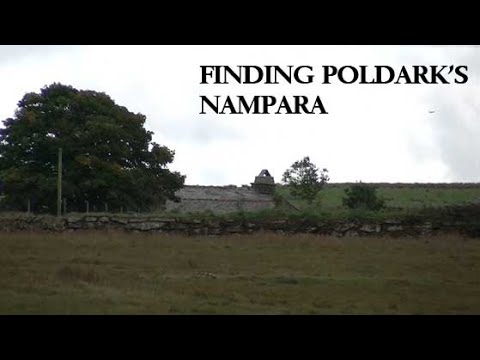
Ivey Farm - Filming Location of Nampara
A few weeks ago I visited Ivey Farm on Bodmin Moor in Cornwall, near the village of St Breward. Ivey Farm is the filming location ...
Nearby Amenities
Located within 500m of 50.548242,-4.656208Have you been to Bradford?
Leave your review of Bradford below (or comments, questions and feedback).