Welling
Settlement in Kent
England
Welling
Welling is a small town located in the London Borough of Bexley, in the county of Kent, England. Situated in the southeastern part of the country, it is approximately 10.5 miles east-southeast of Charing Cross, the center of London. This suburban area is part of the Greater London urban area and forms a part of the historic county of Kent.
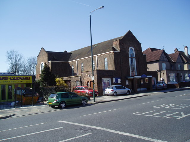
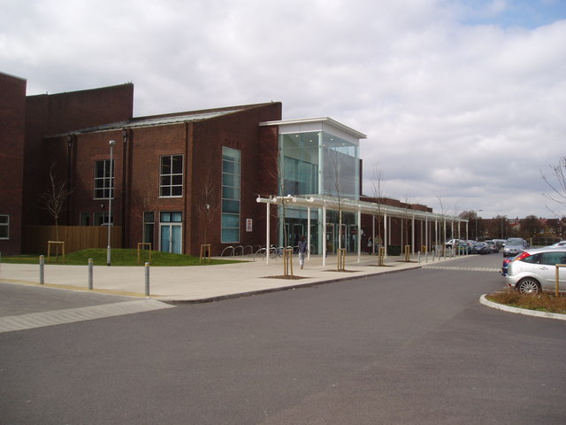
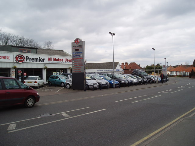
Welling has a population of around 45,000 people and is primarily a residential area with a mix of housing styles, including Victorian and Edwardian terraced houses, as well as some modern developments. The town has a vibrant high street that offers a wide range of amenities, including shops, cafes, restaurants, and supermarkets, catering to the needs of the local community.
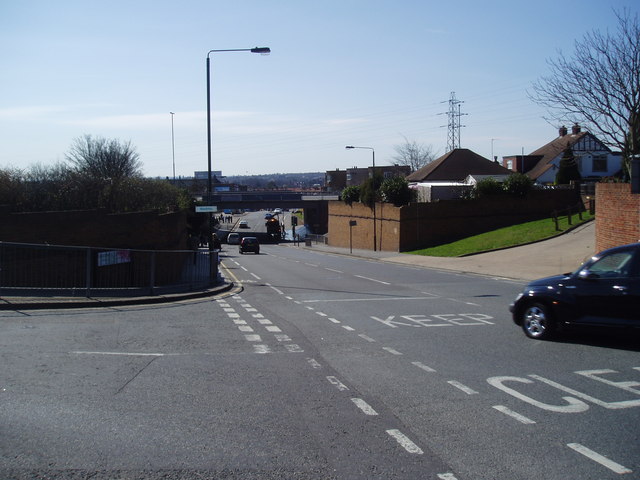
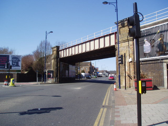
Transportation in Welling is well-served, with several bus routes connecting the town to neighboring areas, and Welling railway station providing regular train services to central London, making it an attractive location for commuters. The town also benefits from its proximity to major road networks, such as the A2 and the M25, providing easy access to the wider region.
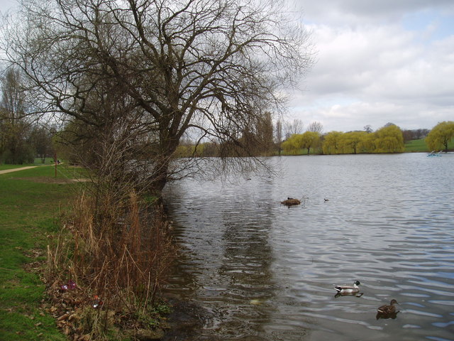
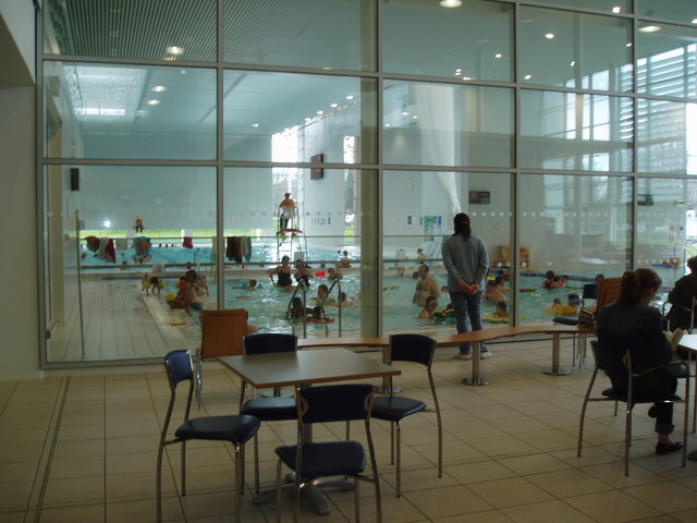
Welling is home to several parks and green spaces, including Danson Park, which is a popular recreational area with a large lake, formal gardens, and sports facilities. The town also has a strong sense of community, with various local organizations and community groups offering a range of activities and events for residents of all ages.
In conclusion, Welling is a pleasant and well-connected suburban town in Kent, offering a range of amenities and transport links, making it an attractive place to live for both families and commuters.
If you have any feedback on the listing, please let us know in the comments section below.
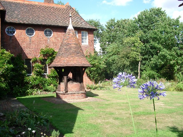
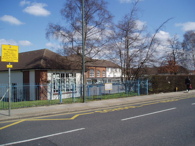
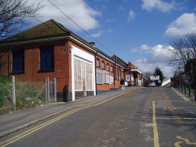
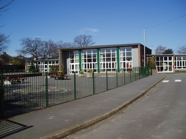
Welling Images
Images are sourced within 2km of 51.462322/0.10732001 or Grid Reference TQ4675. Thanks to Geograph Open Source API. All images are credited.


Welling is located at Grid Ref: TQ4675 (Lat: 51.462322, Lng: 0.10732001)
Unitary Authority: Bexley
Police Authority: Metropolitan
What 3 Words
///waving.burns.groups. Near Welling, London
Related Wikis

Welling
Welling is a town in South East London, England, in the London Borough of Bexley, 1.5 miles (2.4 km) west of Bexleyheath, 4 miles (6.4 km) southeast of...
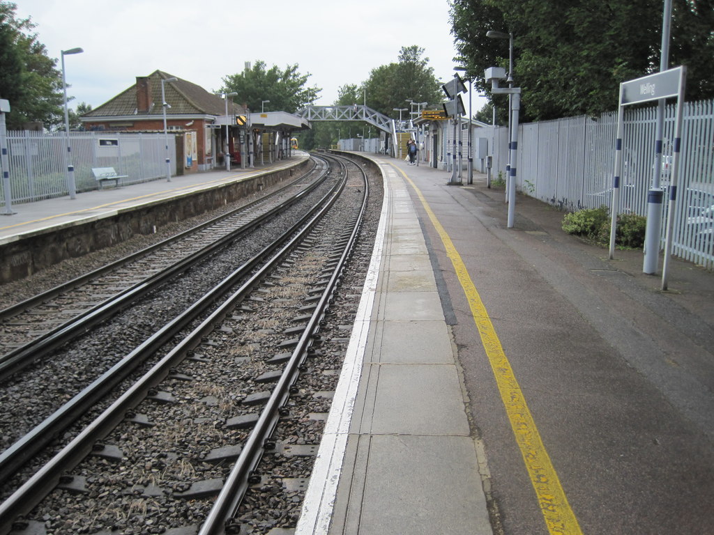
Welling railway station
Welling railway station is situated in Welling, part of the London Borough of Bexley, and is served by the Bexleyheath Line, 11 miles 28 chains (18.3 km...

Bexley Grammar School
Bexley Grammar School is a co-educational grammar school with academy status in Welling, in the London Borough of Bexley, UK. It takes boys and girls aged...
Park View Road
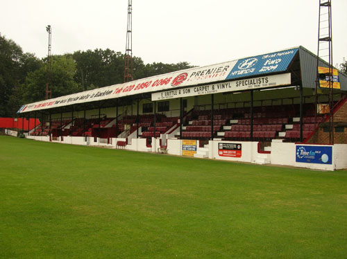
Park View Road is home to National League South semi-professional football club Welling United, and was the ground of their predecessors Bexley United...
Nearby Amenities
Located within 500m of 51.462322,0.10732001Have you been to Welling?
Leave your review of Welling below (or comments, questions and feedback).