Bexley
Settlement in Kent
England
Bexley
Bexley is a suburban town located in the county of Kent, England. Situated on the banks of the River Cray, it is part of the larger London Borough of Bexley, which encompasses several other districts. Bexley is approximately 13 miles southeast of Central London, making it an ideal location for commuters.
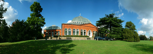
The town has a rich history, dating back to the Roman era, and boasts several notable landmarks. One such landmark is the 18th-century Danson House, a Georgian mansion set in beautiful parkland. With its stunning architecture and landscaped gardens, it is a popular attraction for locals and visitors alike.
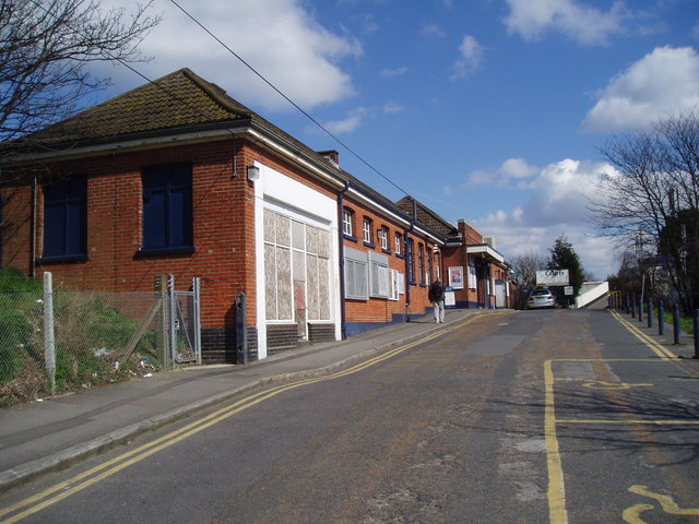
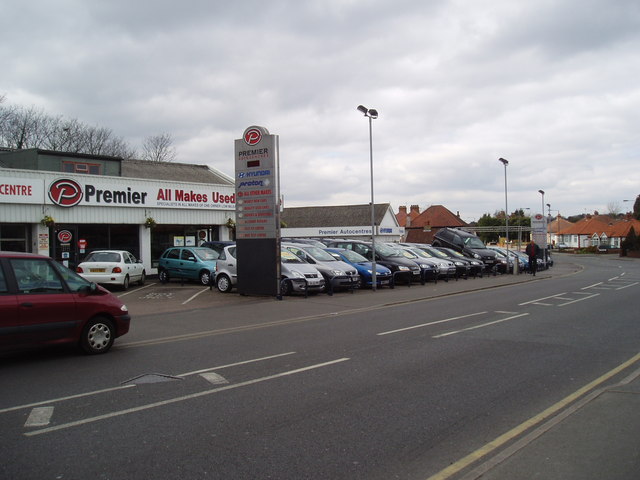
Bexley offers a range of amenities and services to its residents. The town center features a variety of shops, restaurants, and cafes, catering to different tastes and preferences. In addition, there are several supermarkets, banks, and other essential services conveniently located within the town.
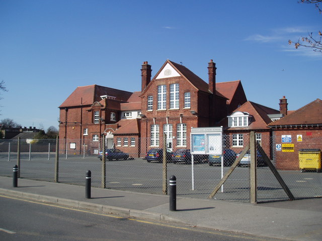
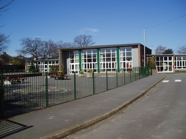
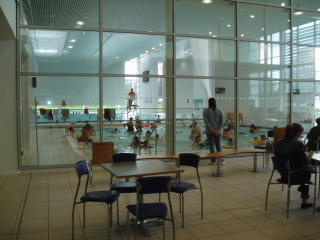
Education in Bexley is well-regarded, with a number of primary and secondary schools providing excellent educational opportunities for children in the area. Bexley also has a strong sense of community, with various community centers, sports clubs, and leisure facilities available for residents to enjoy.
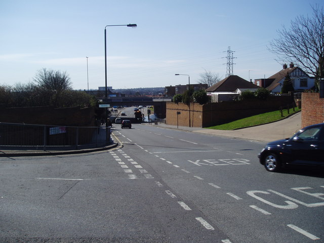
Transport links in Bexley are excellent, making it easy to travel within the town and to other parts of London. Bexley train station offers regular services to London Bridge, Charing Cross, and Victoria, providing convenient access to the capital. Additionally, there are several bus routes serving the area, connecting residents to neighboring towns and villages.
Overall, Bexley is a thriving suburban town that combines its rich history with modern amenities, making it an attractive place to live for both families and professionals.
If you have any feedback on the listing, please let us know in the comments section below.
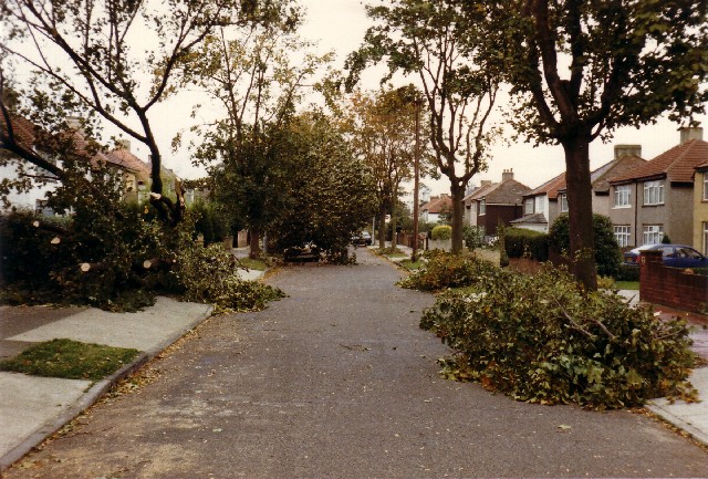
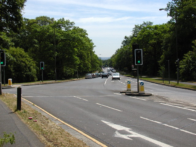
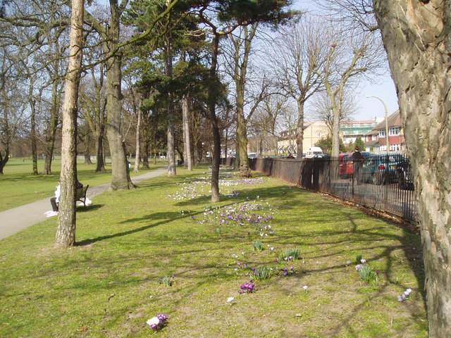
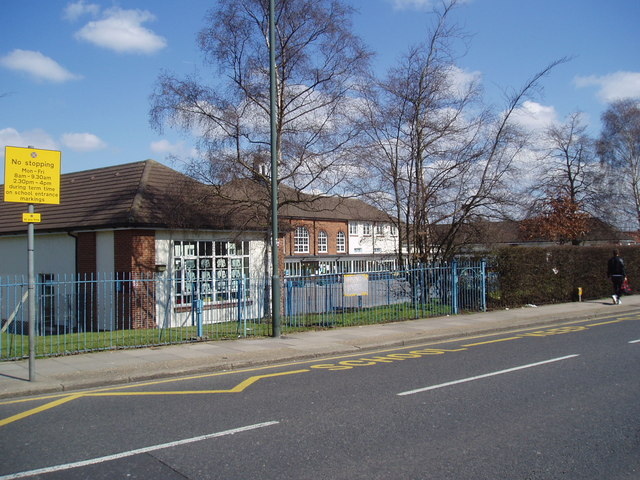
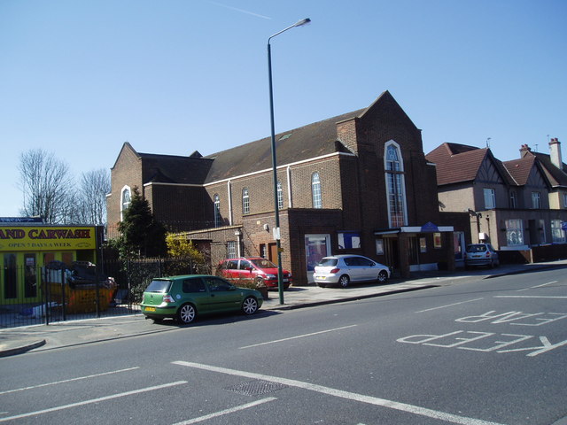
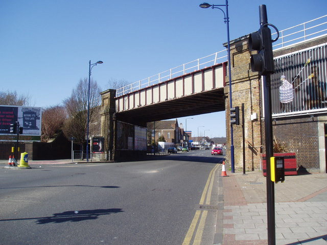
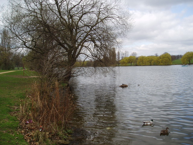
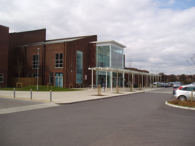
Bexley Images
Images are sourced within 2km of 51.455161/0.0999514 or Grid Reference TQ4675. Thanks to Geograph Open Source API. All images are credited.


Bexley is located at Grid Ref: TQ4675 (Lat: 51.455161, Lng: 0.0999514)
Unitary Authority: Bexley
Police Authority: Metropolitan
What 3 Words
///truck.shot.legal. Near Welling, London
Related Wikis

Falconwood
Falconwood is an area of south east London within both the London Boroughs of Bexley and Greenwich. It is north east of Eltham and south west of Welling...

Bexley Grammar School
Bexley Grammar School is a co-educational grammar school with academy status in Welling, in the London Borough of Bexley, UK. It takes boys and girls aged...

Blackfen
Blackfen is an area of south-east London, England, north of Sidcup in the London Borough of Bexley. Prior to 1965 it was in the county of Kent. "Blackfen...

Welling
Welling is a town in South East London, England, in the London Borough of Bexley, 1.5 miles (2.4 km) west of Bexleyheath, 4 miles (6.4 km) southeast of...
Harris Academy Falconwood
Harris Academy Falconwood (formerly Westwood Secondary School and Westwood College) is a city academy in Falconwood, London, England. The school is a...
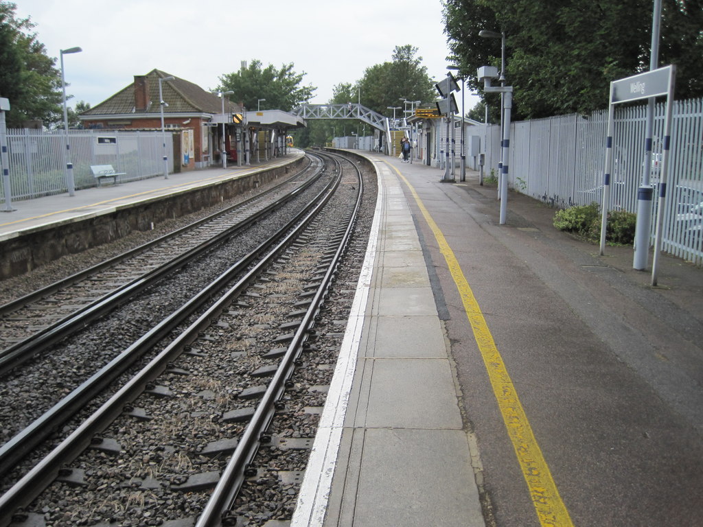
Welling railway station
Welling railway station is situated in Welling, part of the London Borough of Bexley, and is served by the Bexleyheath Line, 11 miles 28 chains (18.3 km...
Blackfen School for Girls
Blackfen School for Girls is a girls' secondary school and sixth form with academy status, located in Blackfen in the London Borough of Bexley, England...

Danson Park
Danson Park is a public park in the London Borough of Bexley, South East London, located between Welling and Bexleyheath. At 75 hectares, it is the second...
Nearby Amenities
Located within 500m of 51.455161,0.0999514Have you been to Bexley?
Leave your review of Bexley below (or comments, questions and feedback).