Wath
Settlement in Yorkshire Ryedale
England
Wath
Wath is a small town located in the county of Yorkshire, England. Situated approximately 5 miles north of Rotherham, it lies within the Metropolitan Borough of Rotherham. With a population of around 6,000 people, Wath is renowned for its picturesque surroundings and historical significance.
The town has a rich industrial history, with coal mining and steel production being key economic activities in the past. Today, Wath primarily serves as a residential area for commuters working in nearby towns and cities. The town center boasts a range of amenities, including local shops, cafes, and pubs, catering to the needs of its residents.
Wath is home to several notable landmarks and attractions. One of the most prominent is All Saints Church, a beautiful Grade I listed building that dates back to the 12th century. The church's architecture and stained glass windows are of great historical and artistic significance.
The town also benefits from its proximity to natural landscapes, making it an ideal location for outdoor enthusiasts. Wath lies on the outskirts of the Dearne Valley, offering opportunities for walking, cycling, and wildlife observation. The nearby RSPB Old Moor nature reserve is a popular spot for birdwatching, attracting a variety of species throughout the year.
Overall, Wath provides a peaceful and scenic environment for residents and visitors alike, combining historical charm with modern amenities and access to stunning natural surroundings.
If you have any feedback on the listing, please let us know in the comments section below.
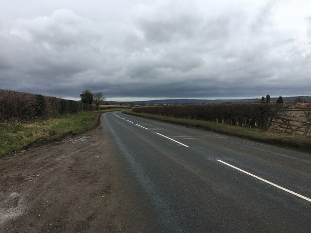
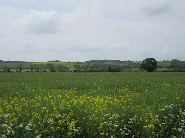
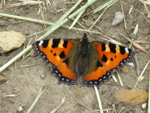
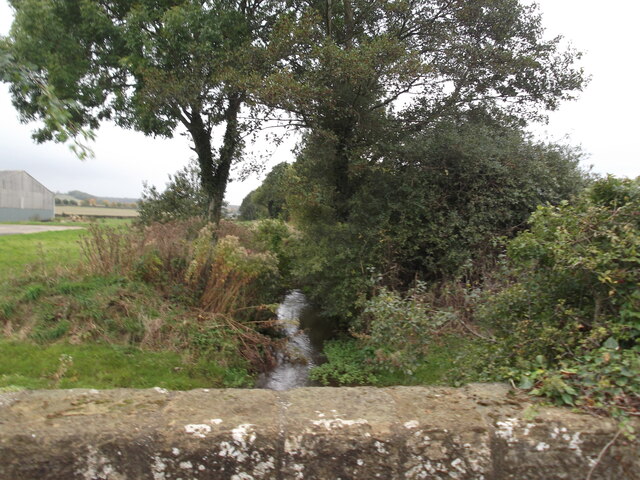
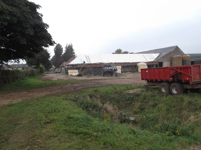
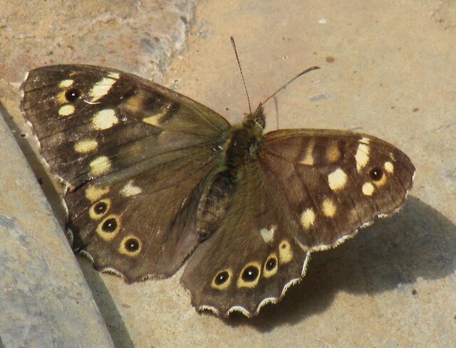
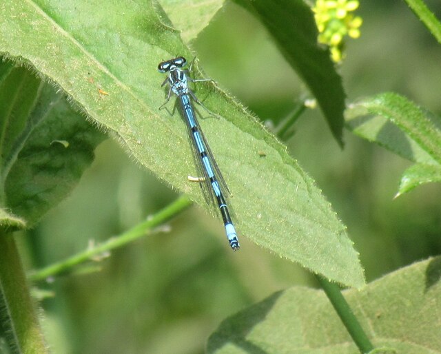
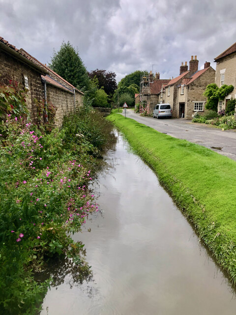
Wath Images
Images are sourced within 2km of 54.166329/-0.96369208 or Grid Reference SE6774. Thanks to Geograph Open Source API. All images are credited.


Wath is located at Grid Ref: SE6774 (Lat: 54.166329, Lng: -0.96369208)
Division: North Riding
Administrative County: North Yorkshire
District: Ryedale
Police Authority: North Yorkshire
What 3 Words
///mash.shuttered.nightfall. Near Sheriff Hutton, North Yorkshire
Nearby Locations
Related Wikis

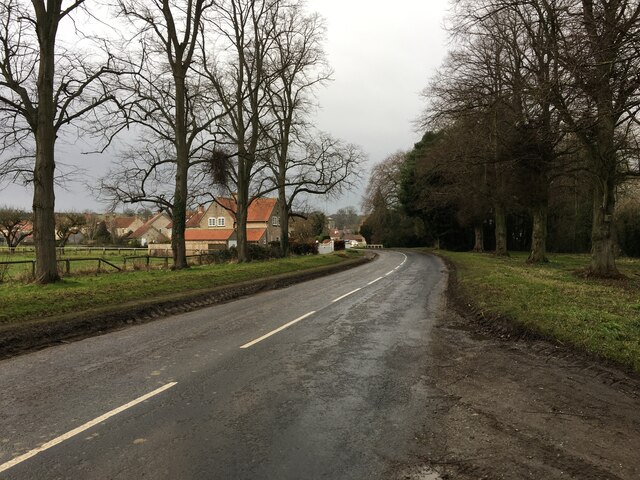
Wath, Ryedale
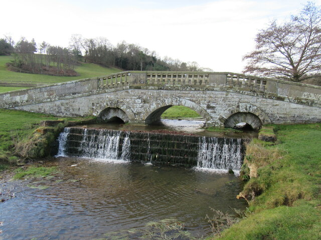
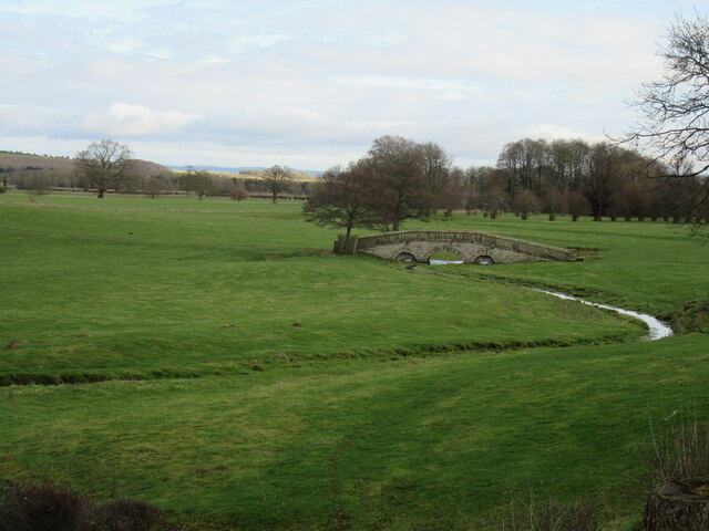
Wath is a small hamlet in the civil parish of Hovingham, in North Yorkshire, England. It is situated at the northern edge of the Howardian Hills AONB,...

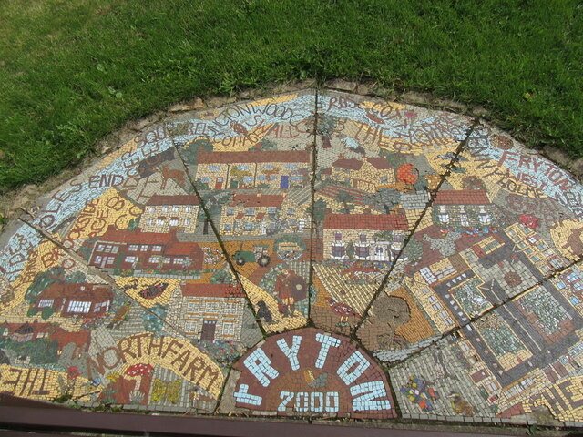
Fryton
Fryton is a small village and civil parish in North Yorkshire, England with a population of around 50. This population remained less than 100 at the 2011...

Hovingham
Hovingham is a large village and civil parish in the Ryedale district of North Yorkshire, England. It is on the edge of the Howardian Hills and about 7...
Hovingham railway station
Hovingham Spa railway station was located just north of the village of Hovingham in the Ryedale area of North Yorkshire, England and opened in 1853. Regular...

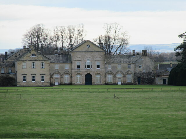
Hovingham Hall
Hovingham Hall is a country house built in the Palladian style in the village of Hovingham, North Yorkshire, England. It has been the seat of the Worsley...

Slingsby, North Yorkshire
Slingsby is a village and civil parish in North Yorkshire, England. It is about 6 miles (10 km) west of Malton on the B1257 road. According to the 2001...

Slingsby railway station
Slingsby railway station is a disused railway station that served the village of Slingsby in North Yorkshire, England. It was built on the orders of the...
South Holme
South Holme is a settlement and civil parish about 17 miles from York, in the Ryedale district, in the county of North Yorkshire, England. In 2001 the...
Nearby Amenities
Located within 500m of 54.166329,-0.96369208Have you been to Wath?
Leave your review of Wath below (or comments, questions and feedback).