Wath Wood
Wood, Forest in Yorkshire Ryedale
England
Wath Wood
Wath Wood, located in Yorkshire, England, is a picturesque woodland area renowned for its natural beauty and rich biodiversity. Covering an area of approximately 100 hectares, this ancient woodland is situated in the district of Rotherham, near the village of Wath-upon-Dearne.
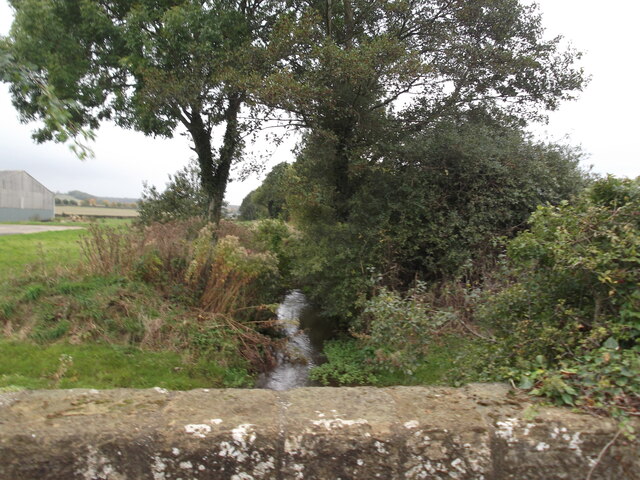
Wath Wood is primarily composed of deciduous trees, such as oak, birch, and beech, which create a diverse and vibrant ecosystem. The woodland floor is carpeted with a variety of flora, including bluebells, wood anemones, and wild garlic, providing a colorful display during springtime.
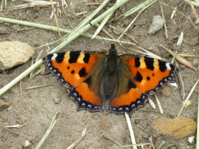
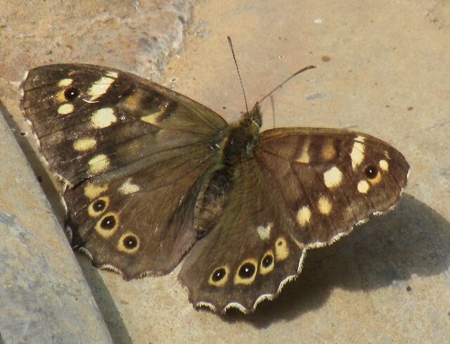
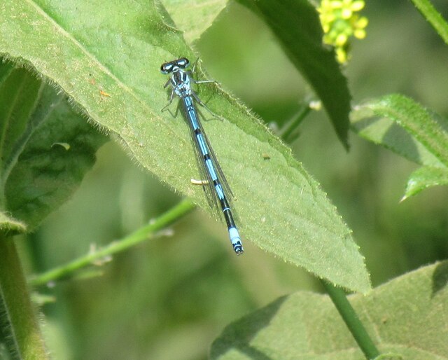
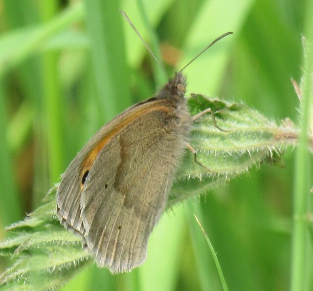
This woodland is home to a range of wildlife species, making it a popular destination for nature enthusiasts and birdwatchers. Numerous species of birds can be spotted in the area, including woodpeckers, owls, and various songbirds. Additionally, Wath Wood supports a thriving population of mammals, such as badgers, foxes, and deer.
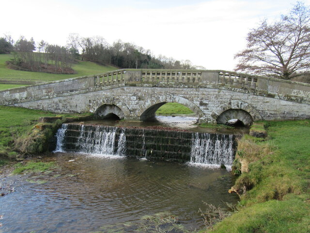
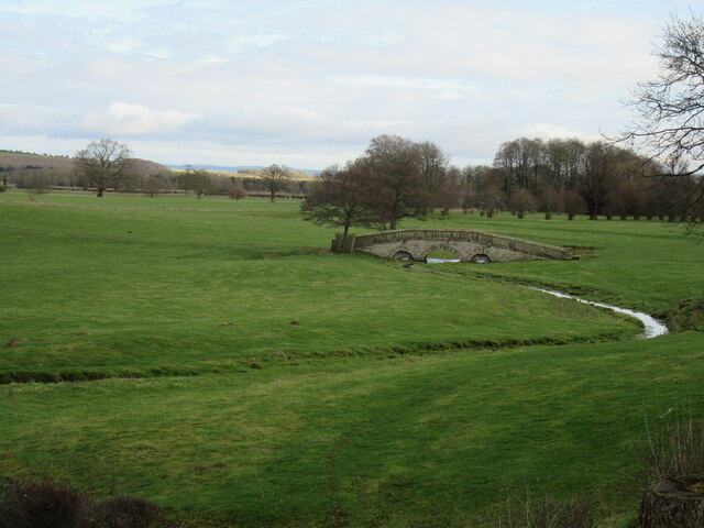
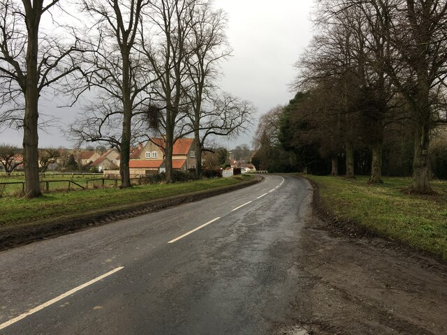
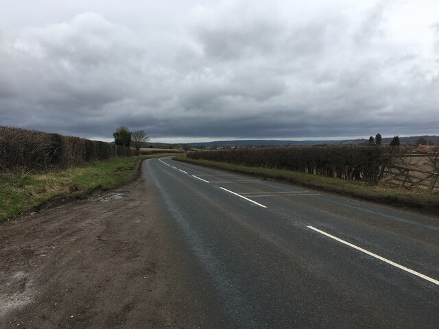
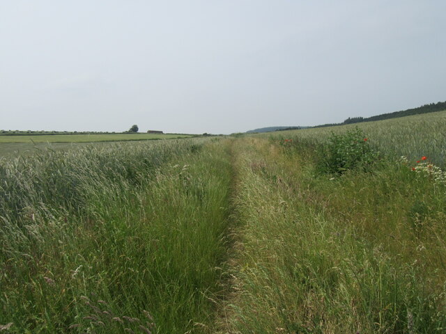
The wood is crisscrossed by a network of well-maintained footpaths, allowing visitors to explore its beauty while enjoying a leisurely stroll or engaging in outdoor activities like hiking and cycling. These paths also provide access to the surrounding countryside, offering magnificent views of the Yorkshire landscape.
Wath Wood is not only a haven for wildlife but also serves as an important educational resource. Local schools and conservation organizations frequently organize educational visits, where students can learn about the woodland ecosystem and the importance of preserving such habitats.
Overall, Wath Wood is a cherished natural gem within the Yorkshire region, offering a tranquil escape and a chance to reconnect with nature.
If you have any feedback on the listing, please let us know in the comments section below.
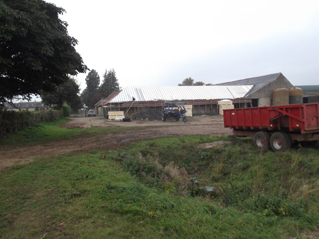
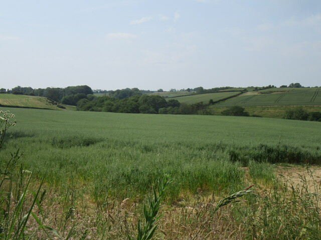
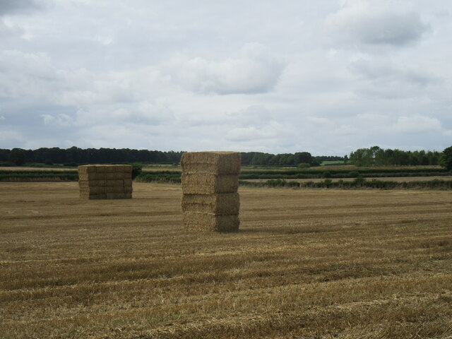
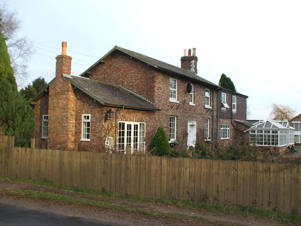
Wath Wood Images
Images are sourced within 2km of 54.158404/-0.97024542 or Grid Reference SE6774. Thanks to Geograph Open Source API. All images are credited.

Wath Wood is located at Grid Ref: SE6774 (Lat: 54.158404, Lng: -0.97024542)
Division: North Riding
Administrative County: North Yorkshire
District: Ryedale
Police Authority: North Yorkshire
What 3 Words
///fact.research.depravity. Near Sheriff Hutton, North Yorkshire
Nearby Locations
Related Wikis

Wath, Ryedale
Wath is a small hamlet in the civil parish of Hovingham, in North Yorkshire, England. It is situated at the northern edge of the Howardian Hills AONB,...

Hovingham
Hovingham is a large village and civil parish in the Ryedale district of North Yorkshire, England. It is on the edge of the Howardian Hills and about 7...

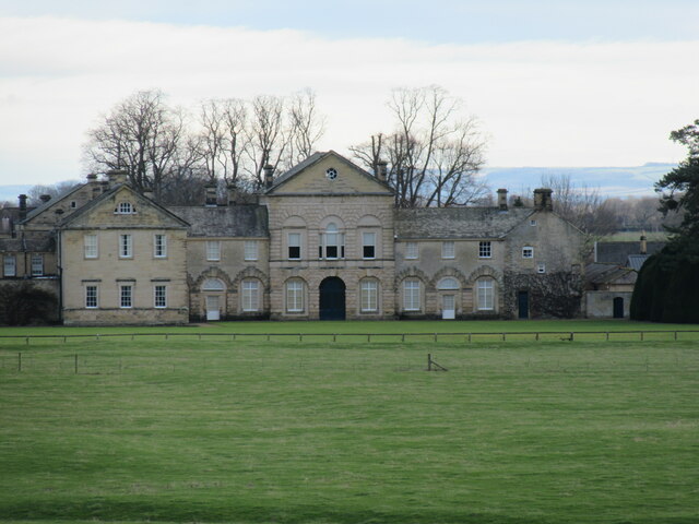
Hovingham Hall
Hovingham Hall is a country house built in the Palladian style in the village of Hovingham, North Yorkshire, England. It has been the seat of the Worsley...

Fryton
Fryton is a small village and civil parish in North Yorkshire, England with a population of around 50. This population remained less than 100 at the 2011...
Hovingham railway station
Hovingham Spa railway station was located just north of the village of Hovingham in the Ryedale area of North Yorkshire, England and opened in 1853. Regular...

Slingsby, North Yorkshire
Slingsby is a village and civil parish in North Yorkshire, England. It is about 6 miles (10 km) west of Malton on the B1257 road. According to the 2001...

Scackleton
Scackleton is a village and civil parish in the Ryedale district of North Yorkshire, England. It is in the Howardian Hills and 2 miles (3.2 km) south-west...

Slingsby railway station
Slingsby railway station is a disused railway station that served the village of Slingsby in North Yorkshire, England. It was built on the orders of the...
Related Videos
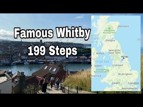
Whitby Famous 199 steps to St Mary’s Churchyard || Church Stairs #whitby
northyorkshire #getaway #england # whitby The reasons for walking up the 199 Steps that lead up to St Mary's Churchyard, also ...

Hovingham North Yorkshire Best place to live in England
Hovingham is situated within the Howardian Hills Area of Outstanding Natural Beauty in the Ryedale District of North Yorkshire, ...

Terrington Bank, Yorkshire. Feb 2018 sledging in the Snow!
Not had snow in York for a while so it was a must to get to Terrington bank today. We are a homeschooling family from Yorkshire, ...
Nearby Amenities
Located within 500m of 54.158404,-0.97024542Have you been to Wath Wood?
Leave your review of Wath Wood below (or comments, questions and feedback).