Warwicksland

Settlement in Cumberland Carlisle

England

Warwicksland

Hedge enclosed road Looking north-eastward from the entrance to Beyond-the-Wood.
Hedge enclosed road Credit: Peter Wood

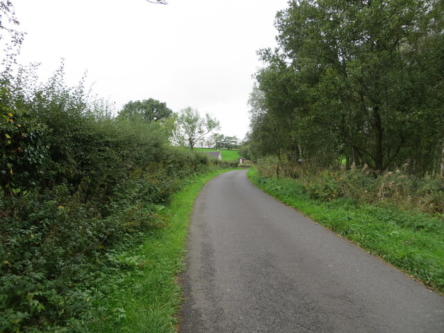
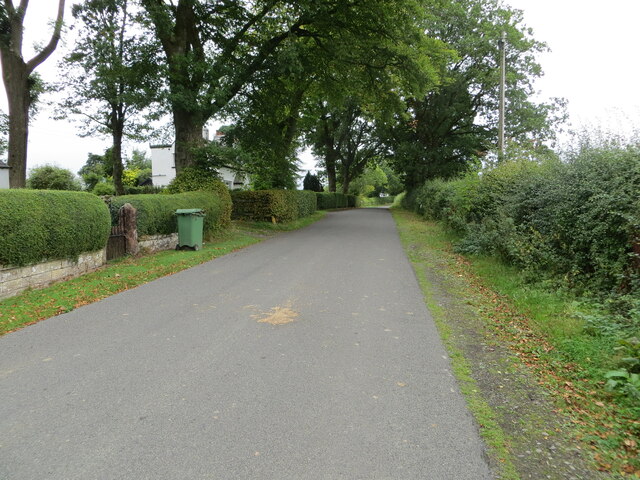
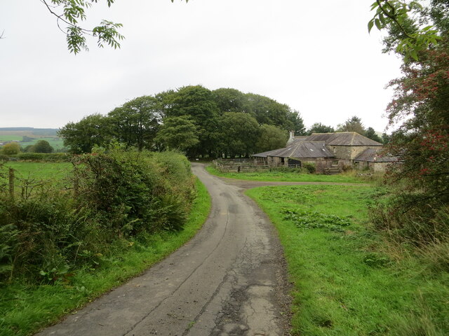
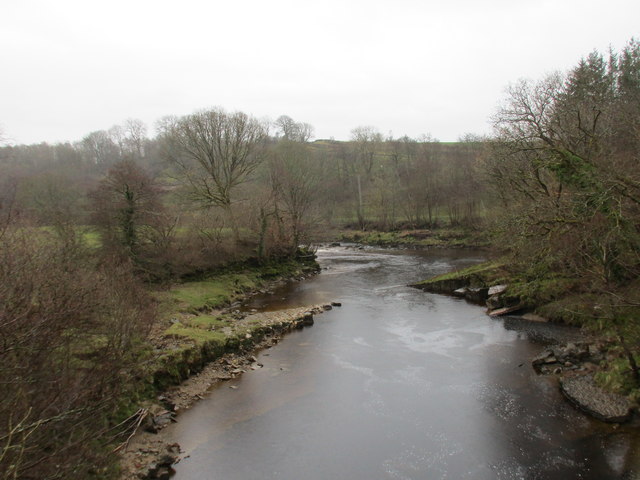
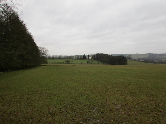
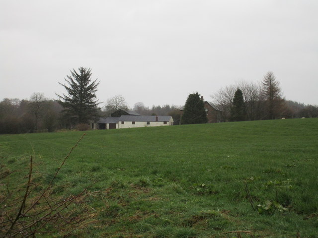
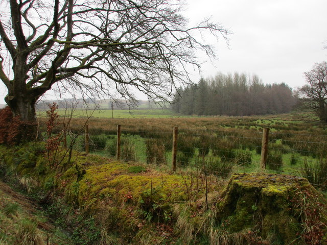
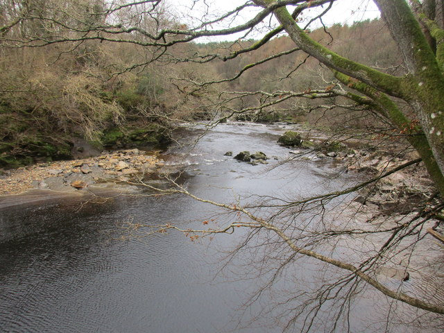
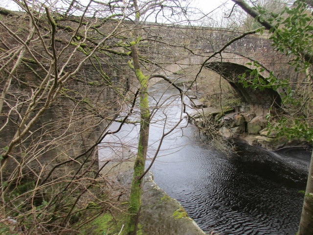
Warwicksland is a small village located in the historic county of Cumberland, in the northwest region of England. Situated amidst the picturesque countryside, it is nestled between rolling green hills and bordered by the tranquil River Caldew. The village is part of the larger district of Carlisle and is about 6 miles south of the city center.

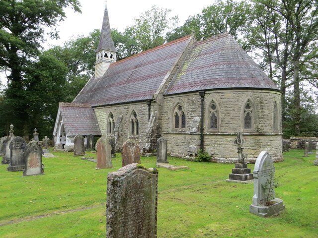
With its origins dating back to medieval times, Warwicksland is steeped in rich history and heritage. The village is known for its charming stone cottages, some of which have survived for centuries, adding to the overall quaint and traditional atmosphere. The local community takes great pride in preserving the historical character of the village.

Despite its small size, Warwicksland offers a range of amenities for its residents and visitors. The village boasts a well-maintained village green, where locals gather for various events and festivities throughout the year. Additionally, there is a village hall that serves as a hub for social gatherings and community activities.

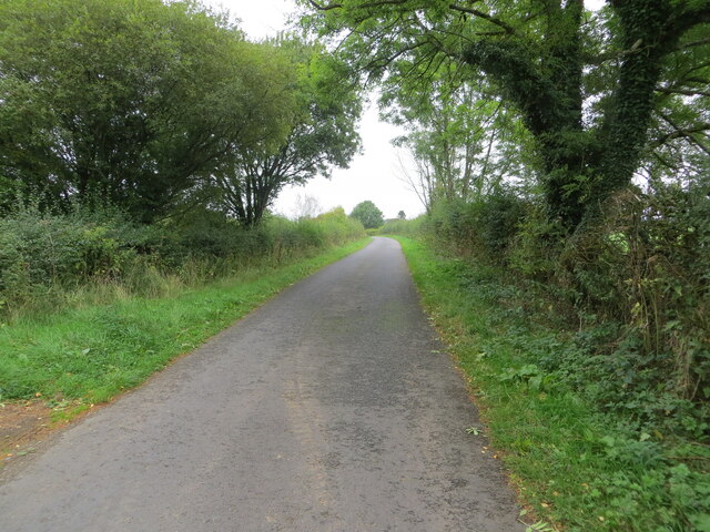
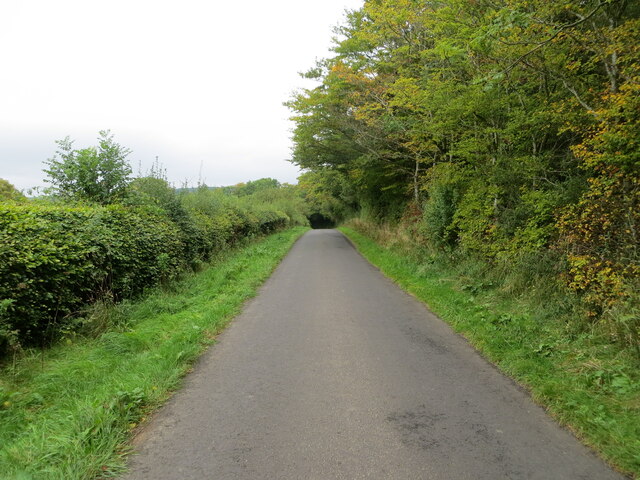
Surrounding Warwicksland, the countryside provides ample opportunities for outdoor pursuits. The rolling hills and nearby forests offer scenic walking trails and areas for picnics. The River Caldew is also popular for fishing and boating enthusiasts.

While Warwicksland itself may not have many commercial establishments, the nearby city of Carlisle provides easy access to a wider range of services, including shops, supermarkets, schools, and healthcare facilities.

Overall, Warwicksland is a charming and idyllic village, perfect for those seeking a peaceful and close-knit community, while still having the convenience of nearby amenities in Carlisle.

If you have any feedback on the listing, please let us know in the comments section below.
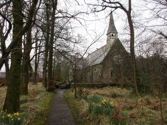
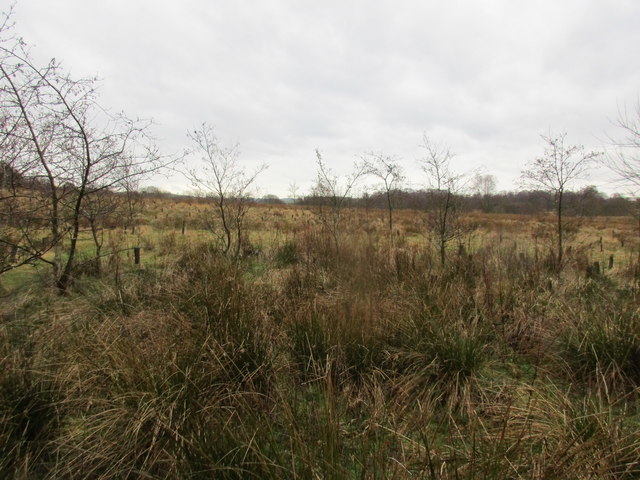
Warwicksland Images

Images are sourced within 2km of 55.086389/-2.8647391 or Grid Reference NY4477. Thanks to Geograph Open Source API. All images are credited.

Hedge enclosed road Looking north-eastward from the entrance to Beyond-the-Wood.
Hedge enclosed road
Looking north-eastward from the entrance to Beyond-the-Wood.
Tree and hedge enclosed minor road near to Haithwaite Looking south-westward.
Tree and hedge enclosed minor road near to Haithwaite
Looking south-westward.
Tree and hedge enclosed minor road near to Haithwaite Looking north-eastward.
Tree and hedge enclosed minor road near to Haithwaite
Looking north-eastward.
Tree and hedge enclosed minor road at Hunter Knowe Looking north-westward.
Tree and hedge enclosed minor road at Hunter Knowe
Looking north-westward.
The Church of St Nicholas and part of its Burial Ground, Nicholforest Viewed from the south-east.
The Church of St Nicholas and part of its Burial Ground, Nicholforest
Viewed from the south-east.
Minor road at Stoneygate Looking north-eastward.
Minor road at Stoneygate
Looking north-eastward.
Minor road at Nookfoot Farm Looking north-westward.
Minor road at Nookfoot Farm
Looking north-westward.
Ordnance Survey Cut Mark This mark can be found on the wall of Nicholforest Parish Church - St Nicholas.
The recorded details give a height of 120.8471 metres above sea level.
For ore details see : <span class="nowrap"><a title="https://www.bench-marks.org.uk/bm164655" rel="nofollow ugc noopener" href="https://www.bench-marks.org.uk/bm164655">Link</a><img style="margin-left:2px;" alt="External link" title="External link - shift click to open in new window" src="https://s1.geograph.org.uk/img/external.png" width="10" height="10"/></span>
Ordnance Survey Cut Mark
This mark can be found on the wall of Nicholforest Parish Church - St Nicholas. The recorded details give a height of 120.8471 metres above sea level. For ore details see : LinkExternal link
Ordnance Survey Cut Mark This mark can be found on the corner of a roadside wall at Stonygate.
The recorded details give a height of 124.142 metres above sea level.
For more details see : <span class="nowrap"><a title="https://www.bench-marks.org.uk/bm164656" rel="nofollow ugc noopener" href="https://www.bench-marks.org.uk/bm164656">Link</a><img style="margin-left:2px;" alt="External link" title="External link - shift click to open in new window" src="https://s1.geograph.org.uk/img/external.png" width="10" height="10"/></span>
Ordnance Survey Cut Mark
This mark can be found on the corner of a roadside wall at Stonygate. The recorded details give a height of 124.142 metres above sea level. For more details see : LinkExternal link
Woodland track Leads eventually to a road which links with the B6357.
Woodland track
Leads eventually to a road which links with the B6357.
Liddel Water at Penton Bridge Looking upstream.
Liddel Water at Penton Bridge
Looking upstream.
View towards Haithwaite The hills in the distance are across the border in Scotland.
View towards Haithwaite
The hills in the distance are across the border in Scotland.
Watleyhurst, Nicholforest
View towards Birney Wood On a dank day.
View towards Birney Wood
On a dank day.
Church of St. Nicholas, Nicholforest The church designed by Alexander Graham and built 1866-7 <span class="nowrap"><a title="http://www.britishlistedbuildings.co.uk/en-78185-church-of-st-nicholas-nicholforest-cumbri#.Vv_4cUfkoeU" rel="nofollow ugc noopener" href="http://www.britishlistedbuildings.co.uk/en-78185-church-of-st-nicholas-nicholforest-cumbri#.Vv_4cUfkoeU">Link</a><img style="margin-left:2px;" alt="External link" title="External link - shift click to open in new window" src="https://s1.geograph.org.uk/img/external.png" width="10" height="10"/></span> is separated from the new burial ground by a small area of woodland.
Church of St. Nicholas, Nicholforest
The church designed by Alexander Graham and built 1866-7 LinkExternal link is separated from the new burial ground by a small area of woodland.
Haithwaite Moss One of many such mosses in this area.
Haithwaite Moss
One of many such mosses in this area.
Liddel Water at Penton Bridge Looking downstream.
Liddel Water at Penton Bridge
Looking downstream.
Penton Bridge Carries the B6318 over Liddel Water.
Penton Bridge
Carries the B6318 over Liddel Water.
Show me another place!

Warwicksland is located at Grid Ref: NY4477 (Lat: 55.086389, Lng: -2.8647391)

Administrative County: Cumbria

District: Carlisle

Police Authority: Cumbria

What 3 Words

///opera.dislikes.shuttling. Near Longtown, Cumbria

Nearby Locations

Warwicksland

Related Wikis

Nicholforest

Nicholforest is a civil parish in Cumbria, England bordering Scotland. The population of the civil parish taken at the 2011 census was 372. The parish...

Catlowdy

Catlowdy is a hamlet in Cumbria, England. It contains the Bessiestown Country Guest House. == References ==

Nook Pasture railway station

Nook Pasture railway station served the village of Canonbie, Dumfriesshire, Scotland, from 1864 to 1873 on the Waverley Line. The station was located...

Rowanburn

Rowanburn is a hamlet in Eskdale, Dumfries and Galloway, Scotland. Located near Canonbie, it sits around 5 miles south-east of Langholm and about a mile...

Nearby Amenities

Located within 500m of 55.086389,-2.8647391
Post Box
Lat/Long: 55.0851852/-2.86537
Recycling
Lat/Long: 55.0874702/-2.8646302
Post Box
Post Box Type: lamp
Ref: CA6 274
Source: survey
Lat/Long: 55.0876523/-2.8643023
Recycling
Source: survey
Lat/Long: 55.0875582/-2.8646795
Defibrillator
Defibrillator Location: outside Nicholforest Hall
Emergency: defibrillator
Indoor: no
Lat/Long: 55.0873369/-2.8645704
Power: pole
Lat/Long: 55.083514/-2.8596263
Power: pole
Lat/Long: 55.0843285/-2.859691
Power: pole
Lat/Long: 55.0851868/-2.8603282
Power: pole
Lat/Long: 55.0859313/-2.8609247
Power: pole
Lat/Long: 55.086658/-2.8614757
Power: pole
Lat/Long: 55.087508/-2.8621393
Power: pole
Lat/Long: 55.0883224/-2.8627932
Power: pole
Lat/Long: 55.0892835/-2.8635167
Power: pole
Lat/Long: 55.0900704/-2.8640796
Power: pole
Lat/Long: 55.0856311/-2.8625201
Power: pole
Lat/Long: 55.085387/-2.8637922
The data included in this document is from www.openstreetmap.org. The data is made available under ODbL.

Have you been to Warwicksland?

Leave your review of Warwicksland below (or comments, questions and feedback).