Bracebridge Heath
Settlement in Lincolnshire North Kesteven
England
Bracebridge Heath

Bracebridge Heath is a village located in the county of Lincolnshire, England. Situated just south of the city of Lincoln, it is a vibrant and thriving community with a population of around 5,000 residents.
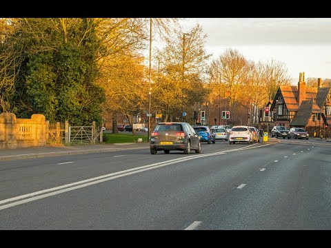
The village offers a range of amenities and services, including a primary school, a post office, a village hall, and several shops and businesses. It also benefits from excellent transport links, with easy access to the A607 road and the nearby Lincoln Bypass, making it convenient for commuters and visitors.
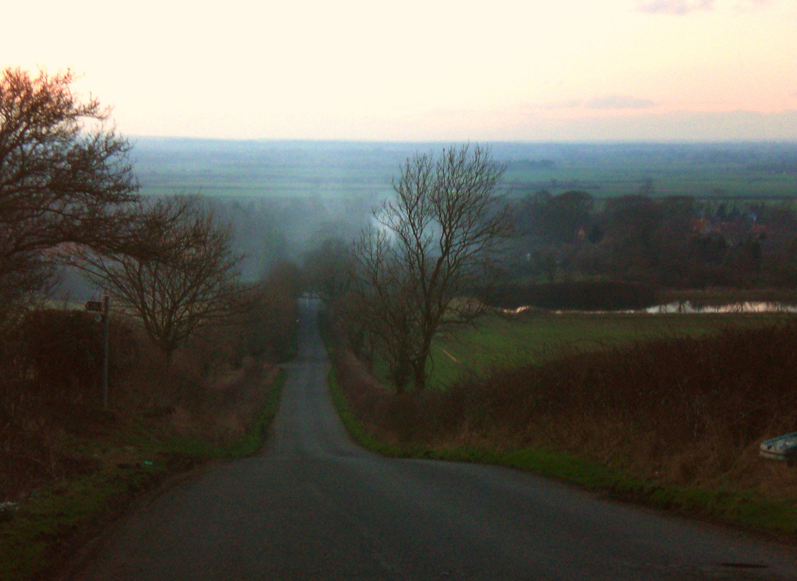
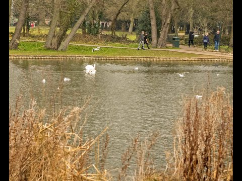
Bracebridge Heath is surrounded by picturesque countryside, providing residents with opportunities for outdoor activities and beautiful views. The nearby River Witham also offers recreational opportunities, including fishing and boating.
One of the notable landmarks in the village is Bracebridge Heath Windmill, a Grade II listed building that dates back to the 19th century. It serves as a reminder of the village's agricultural heritage and is a popular attraction for visitors.
The community in Bracebridge Heath is known for its strong sense of community spirit, with various events and activities taking place throughout the year. These include summer fairs, sports tournaments, and festive celebrations, bringing residents together and fostering a sense of belonging.
In summary, Bracebridge Heath is a charming village in Lincolnshire, offering a range of amenities, beautiful surroundings, and a strong community spirit. It is a desirable place to live, work, and visit in the heart of England.
If you have any feedback on the listing, please let us know in the comments section below.
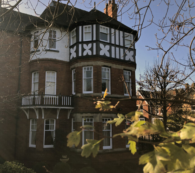
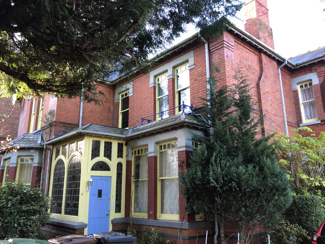
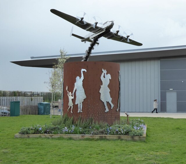
Bracebridge Heath Images
Images are sourced within 2km of 53.196211/-0.534627 or Grid Reference SK9767. Thanks to Geograph Open Source API. All images are credited.


Bracebridge Heath is located at Grid Ref: SK9767 (Lat: 53.196211, Lng: -0.534627)
Division: Parts of Kesteven
Administrative County: Lincolnshire
District: North Kesteven
Police Authority: Lincolnshire
What 3 Words
///elders.simulator.latter. Near Bracebridge Heath, Lincolnshire
Nearby Locations
Related Wikis
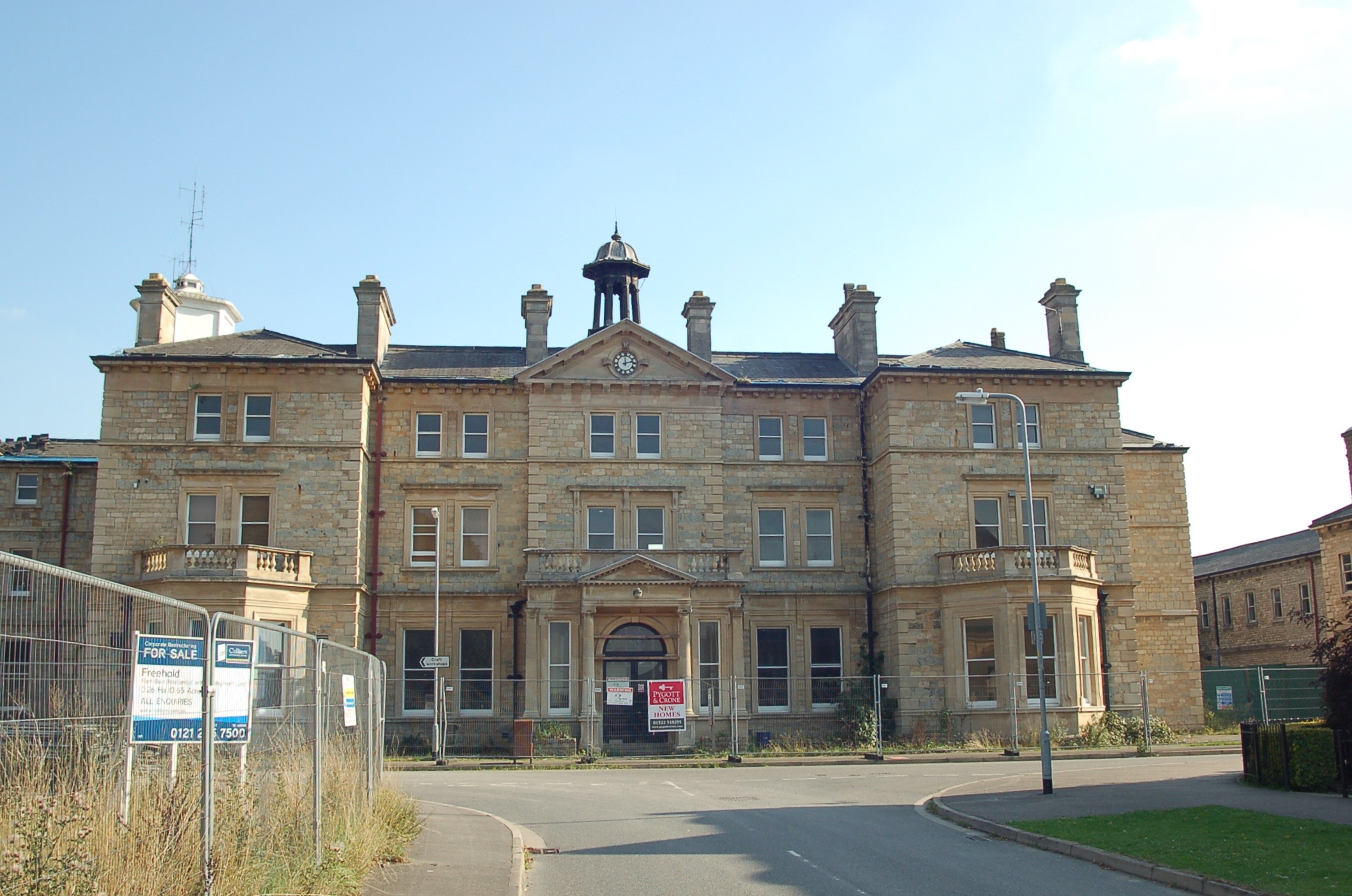
St John's Hospital, Bracebridge Heath
St John's Hospital, Bracebridge Heath was a mental health facility at Bracebridge Heath in Lincolnshire. == History == The hospital was designed by John...

Bracebridge Heath Cricket Club
Bracebridge Heath Cricket Club play in the village of Bracebridge Heath on the outskirts of Lincoln, Lincolnshire, England. The club won the 2002 England...

Fens and Anglian system
The Fens and Anglian system is a collection of rivers in East Anglia in England that are navigable and for which the Environment Agency is the navigation...
Lincoln Cliff
The Lincoln Cliff or Lincoln Edge is a portion of a major escarpment that runs north–south through Lindsey and Kesteven in central Lincolnshire and is...

Bracebridge Heath
Bracebridge Heath is a village and civil parish in the North Kesteven district of Lincolnshire, England. It is 2 miles (3 km) south of Lincoln and straddles...

Central Lincolnshire
Central Lincolnshire is the name given to a region of Lincolnshire in the East Midlands, England. The area covers the districts of North Kesteven and West...
Bracebridge railway station
Bracebridge railway station was a freight only station in Bracebridge, Lincolnshire, England situated just south of Lincoln. It was used for goods services...
The Priory Academy LSST
The Priory Academy LSST (formerly the Lincoln School of Science and Technology) is a co-educational non-selective academy school and teaching school situated...
Related Videos

Travel back in time to Coronation Day 1953 on Fairfax Street
Thank-you to Barry Whitworth on the Facebook "Lincoln Then and Now" group for the wonderful old photo used in this time shift ...
Travel back in Time to Jolly Boating Weather in Boultham Park Lincoln
Boultham Park had been a large private estate, with the old hall being built in 1874. It became empty in 1909 when the owner died ...
Travel back almost a century to the opening of a new bridge in Lincoln
The suburb of Bracebridge was established to the south of Lincoln around the river crossing over the River Witham, Initially this ...

Bert Holland's Waltzer Onride (Walking the Waltzer) @ Lincoln April Fair 22/04/2023
Onride Footage of Bert Holland's Waltzer Walking the waltzer and a thank you to Bert Holland and the gaff lad for the onride ...
Nearby Amenities
Located within 500m of 53.196211,-0.534627Have you been to Bracebridge Heath?
Leave your review of Bracebridge Heath below (or comments, questions and feedback).