Warkworth

Settlement in Northamptonshire

England

Warkworth

Footpath nearing Middleton Lodge Farm Footpath heading to Middleton Cheney nearing Middleton Lodge Farm
Footpath nearing Middleton Lodge Farm Credit: Shaun Ferguson

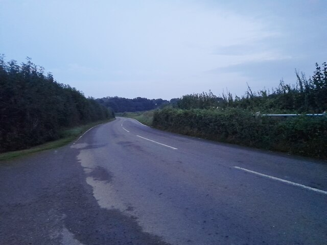
Warkworth is a small village located in the county of Northamptonshire, England. Situated approximately 7 miles southwest of the town of Northampton, it falls within the district of South Northamptonshire. The village lies near the River Tove and is surrounded by picturesque countryside, offering a tranquil and idyllic setting.

Warkworth is known for its historical significance, with evidence of human habitation in the area dating back to Roman times. The village features several well-preserved medieval buildings, including the Grade I listed Church of St. Edmund, which dates back to the 12th century. The church boasts magnificent architecture and contains several notable tombs and memorials.

In addition to its historical heritage, Warkworth offers a range of amenities and services to its residents. These include a primary school, village hall, and a local pub, providing a sense of community and convenience. The village is also well-connected, with good transportation links to nearby towns and cities.

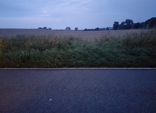
Nature enthusiasts are drawn to Warkworth due to its proximity to scenic walking trails and nature reserves. The village is surrounded by beautiful countryside, making it an ideal location for outdoor activities such as hiking and bird watching.

Overall, Warkworth is a charming and historically rich village that offers a peaceful and scenic environment for residents and visitors alike.

If you have any feedback on the listing, please let us know in the comments section below.

Warkworth Images

Images are sourced within 2km of 52.057352/-1.2903582 or Grid Reference SP4840. Thanks to Geograph Open Source API. All images are credited.

Footpath nearing Middleton Lodge Farm Footpath heading to Middleton Cheney nearing Middleton Lodge Farm
Footpath nearing Middleton Lodge Farm
Footpath heading to Middleton Cheney nearing Middleton Lodge Farm
Footpath heading to Middleton Lodge Farm Footpath from Middleton Cheney heading to Middleton Lodge Farm
Footpath heading to Middleton Lodge Farm
Footpath from Middleton Cheney heading to Middleton Lodge Farm
A422 at Middleton Cheney
Wind turbine by the footpath
Stile on the footpath by Middleton Lodge Farm
Footpath to Astrop
Footpath to Astrop
Footpath along the top of the cutting Not quite where the map thinks it is
Footpath along the top of the cutting
Not quite where the map thinks it is
Sheep on the footpath to Astrop
Crossing dismantled railway From Buston Farm footpath to Lower Middleton Cheney crossing dismantled railway
Crossing dismantled railway
From Buston Farm footpath to Lower Middleton Cheney crossing dismantled railway
Oxford Canal, near Grant's Lock A lone narrowboat is moored by the towpath on the stretch between Grant's Lock and the M40 bridge. The tree on the opposite side of the canal leans at a precarious angle.
Oxford Canal, near Grant's Lock
A lone narrowboat is moored by the towpath on the stretch between Grant's Lock and the M40 bridge. The tree on the opposite side of the canal leans at a precarious angle.
Grant's Lock, Oxford Canal Grant's Lock is the last lock before Banbury as the Oxford Canal heads up the Cherwell Valley. This view shows one of the top paddles.
Grant's Lock, Oxford Canal
Grant's Lock is the last lock before Banbury as the Oxford Canal heads up the Cherwell Valley. This view shows one of the top paddles.
Warkworth Road
Warkworth Road
Warkworth Road
Warkworth Road
Warkworth Road
Warkworth Road
Field by Warkworth Road
Oxford Canal bridge 172
Copse by the canal
Copse by the canal
Bridge Over Brook The brook was running fast and high following several days of heavy rain.
Bridge Over Brook
The brook was running fast and high following several days of heavy rain.
Show me another place!

Warkworth is located at Grid Ref: SP4840 (Lat: 52.057352, Lng: -1.2903582)

Unitary Authority: West Northamptonshire

Police Authority: Northamptonshire

What 3 Words

///gashes.bystander.resources. Near Banbury, Oxfordshire

Nearby Locations

Warkworth

Related Wikis

Warkworth, Northamptonshire

Warkworth is a village and civil parish in West Northamptonshire, about 2 miles (3 km) east of Banbury in Oxfordshire and 1 mile (1.6 km) southeast of...

Overthorpe, Northamptonshire

Overthorpe is a village and civil parish in West Northamptonshire, about 2 miles (3 km) east of Banbury in Oxfordshire and 1 mile (1.6 km) southeast of...

National Filling Factory, Banbury

National Filling Factory, Banbury, officially called National Filling Factory No. 9. was a British Ministry of Munitions filling factory, constructed during...

Nethercote, Banbury

Nethercote is a hamlet on the edge of north Oxfordshire, a semi-rural area bordering with West Northamptonshire. The hamlet sits South East of J11 of M40...

Nearby Amenities

Located within 500m of 52.057352,-1.2903582
Power: pole
Lat/Long: 52.0541732/-1.2869844
Power: pole
Lat/Long: 52.0541497/-1.2857489
Power: pole
Lat/Long: 52.0548012/-1.2873888
Power: pole
Lat/Long: 52.0555805/-1.2878723
Power: pole
Lat/Long: 52.0563606/-1.2883671
Power: pole
Lat/Long: 52.0571345/-1.2888889
Power: pole
Lat/Long: 52.0573819/-1.2889101
Power: pole
Lat/Long: 52.0604667/-1.2877482
Power: pole
Lat/Long: 52.05932/-1.288157
Power: pole
Lat/Long: 52.0612887/-1.2879592
Warkworth
Place: hamlet
Lat/Long: 52.0576068/-1.2897327
The data included in this document is from www.openstreetmap.org. The data is made available under ODbL.

Have you been to Warkworth?

Leave your review of Warkworth below (or comments, questions and feedback).