Wappenham

Settlement in Northamptonshire

England

Wappenham

St Mary the Virgin's, Wappenham
St Mary the Virgin's, Wappenham Credit: Andrew Smith

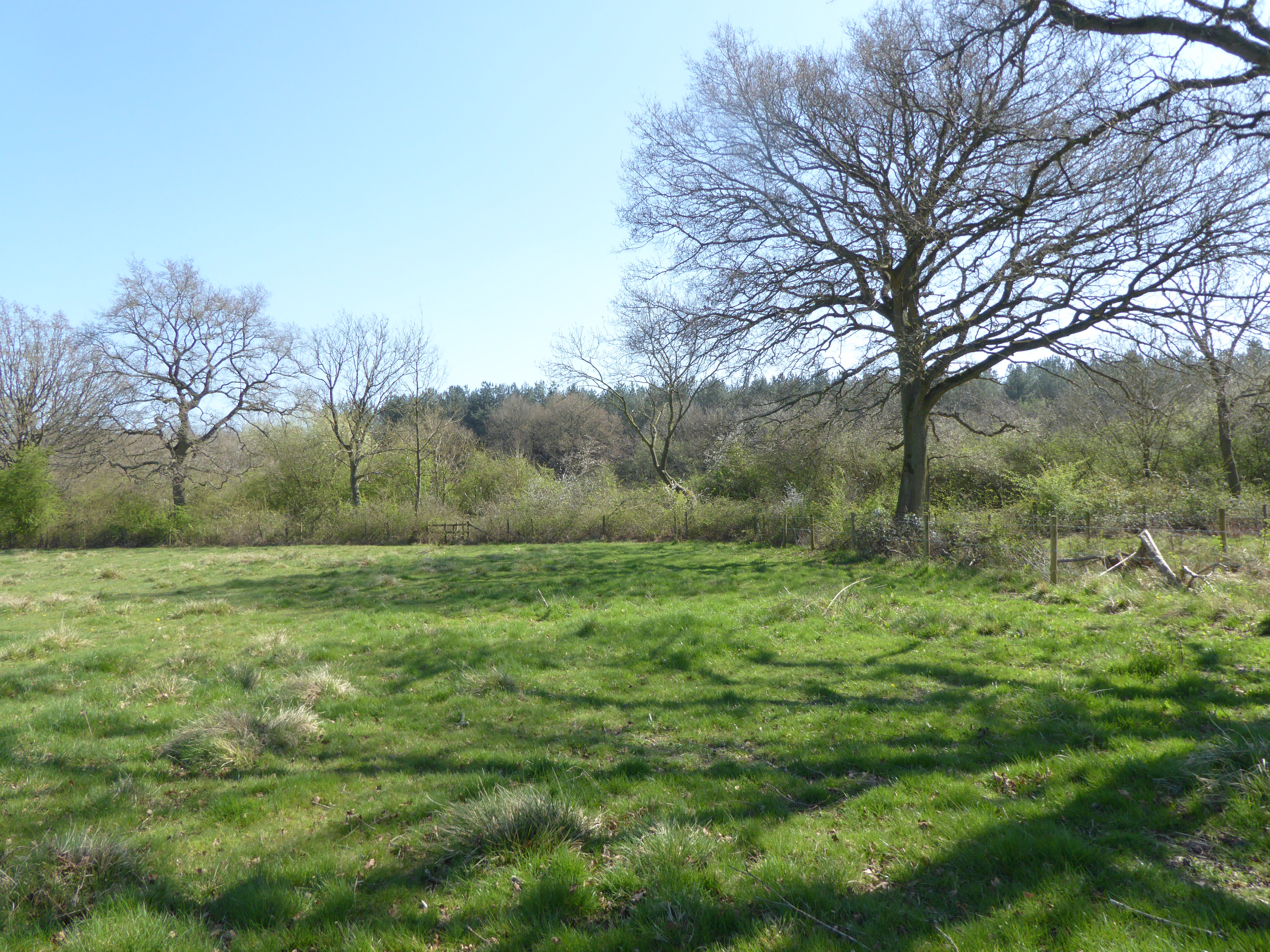
Wappenham is a small village located in the county of Northamptonshire, England. Situated approximately 7 miles south-east of the town of Towcester, it falls within the South Northamptonshire district. The village is surrounded by picturesque countryside, offering residents and visitors a peaceful and idyllic setting.

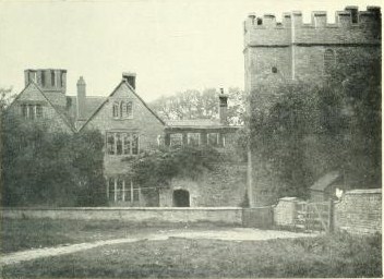
With a population of around 300 people, Wappenham maintains a close-knit community atmosphere. The village is characterized by a mix of charming stone cottages and more modern houses, blending traditional and contemporary architecture. The local parish church, St. Mary’s, stands prominently in the heart of the village, showcasing beautiful medieval features.

Wappenham benefits from its proximity to the Silverstone Circuit, renowned for hosting Formula One races, which lies just a few miles to the north. This provides opportunities for motorsport enthusiasts to enjoy world-class racing events and experiences.

The village itself lacks commercial amenities, with no shops or pubs, but nearby towns provide easy access to essential services. The local primary school caters to the educational needs of the community, while additional amenities such as shops, healthcare facilities, and leisure activities are available in Towcester and other nearby towns.

Wappenham offers a tranquil escape from the hustle and bustle of urban life, attracting those seeking a peaceful rural lifestyle. Its scenic countryside, community spirit, and convenient location make it an appealing place to live or visit for those looking to enjoy the beauty of the English countryside.

If you have any feedback on the listing, please let us know in the comments section below.
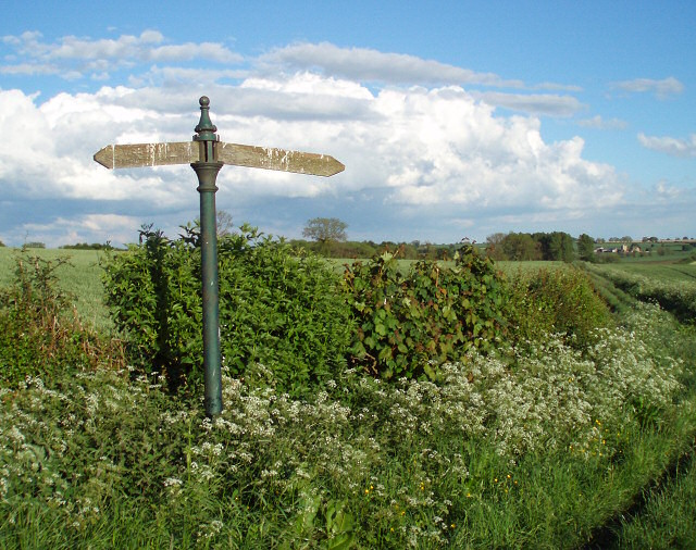
Wappenham Images

Images are sourced within 2km of 52.106347/-1.0870786 or Grid Reference SP6245. Thanks to Geograph Open Source API. All images are credited.

St Mary the Virgin's, Wappenham
Field and a Tree Other than a short length of road and a couple of small buildings this square is mostly fields.
Field and a Tree
Other than a short length of road and a couple of small buildings this square is mostly fields.
Manor Farm Fields Other than Manor Farm in the NE corner this square consists of fields and a small patch of woodland.
Manor Farm Fields
Other than Manor Farm in the NE corner this square consists of fields and a small patch of woodland.
Railway now Water This former railway line is now home to what appears to be a water treatment works.
Railway now Water
This former railway line is now home to what appears to be a water treatment works.
Station now Barn This barn is built close to the site of the former Wappenham railway station.  It appears to be built on the former track bed.
Station now Barn
This barn is built close to the site of the former Wappenham railway station. It appears to be built on the former track bed.
Steep Track This steep farm track climbs up to farm buildings behind the trees.
Steep Track
This steep farm track climbs up to farm buildings behind the trees.
Footpath and Bridleway A footpath runs off to the left to Wappenham and a bridleway follows the line of the track past the tree.
Footpath and Bridleway
A footpath runs off to the left to Wappenham and a bridleway follows the line of the track past the tree.
Inside Out Gates The gates which hang from these posts at the entrance to Radmore Farm appear to have been hung on the wrong side.
Inside Out Gates
The gates which hang from these posts at the entrance to Radmore Farm appear to have been hung on the wrong side.
Start of footpath and bridleway The sign is wonky,  not the photographer!
Start of footpath and bridleway
The sign is wonky, not the photographer!
Abandoned farm machinery Beside the footpath
Abandoned farm machinery
Beside the footpath
Footpath to Wappenham
Bridge over small stream On the footpath from Bradden to Weedon Lois
Bridge over small stream
On the footpath from Bradden to Weedon Lois
Old and new barns
Old and new barns
An odd sign to find in the corner of a field What are you likely to load round here?
This is a junction of two byways - one goes left towards Wappenham and the other forward from Wappenham Lodge Farm up to Abthorpe.
An odd sign to find in the corner of a field
What are you likely to load round here? This is a junction of two byways - one goes left towards Wappenham and the other forward from Wappenham Lodge Farm up to Abthorpe.
Wappenham Lodge Farm
Byway Runs down the driveway to Wappenham Lodge Farm, then off into fields.
Byway
Runs down the driveway to Wappenham Lodge Farm, then off into fields.
Gates to Wappenham Lodge Farm There is an "other right of way" up this drive to meet up with the byway and footpaths that start at the corner of the driveway up near the house.
Gates to Wappenham Lodge Farm
There is an "other right of way" up this drive to meet up with the byway and footpaths that start at the corner of the driveway up near the house.
Byway starts here Although it is technically an open byway the "except for access" and large yellow chains on the gates (hidden by the grass) mean that only the farmer's vehicles can use it.  Horses and cycles can use the smaller gate.
Byway starts here
Although it is technically an open byway the "except for access" and large yellow chains on the gates (hidden by the grass) mean that only the farmer's vehicles can use it. Horses and cycles can use the smaller gate.
Show me another place!

Wappenham is located at Grid Ref: SP6245 (Lat: 52.106347, Lng: -1.0870786)

Unitary Authority: West Northamptonshire

Police Authority: Northamptonshire

What 3 Words

///drags.giving.meaty. Near Silverstone, Northamptonshire

Related Wikis

Related Videos

Dog vs Llama

Jambo the 8 month old llama wants Enzo's stick but Enzo isn't giving it up in a hurry....That face little though!

Nearby Amenities

Located within 500m of 52.106347,-1.0870786
Barrier: stile
Steps: 2
Lat/Long: 52.1054042/-1.0799802
Barrier: kissing_gate
Foot: yes
Lat/Long: 52.1062983/-1.0837987
Barrier: kissing_gate
Foot: yes
Lat/Long: 52.105554/-1.0861408
Barrier: footgate
Bicycle: yes
Foot: yes
Horse: yes
Note: check
Lat/Long: 52.105129/-1.0865199
Barrier: kissing_gate
Foot: yes
Lat/Long: 52.1046333/-1.0851134
Barrier: footgate
Bicycle: yes
Foot: yes
Horse: yes
Lat/Long: 52.1060718/-1.088744
Barrier: footgate
Bicycle: yes
Foot: yes
Horse: yes
Lat/Long: 52.1057872/-1.0882197
Wappenham
Place: village
Lat/Long: 52.1072486/-1.0876578
Barrier: kissing_gate
Foot: yes
Lat/Long: 52.1045834/-1.0895638
Barrier: kissing_gate
Foot: yes
Lat/Long: 52.1045533/-1.0914362
Power: pole
Lat/Long: 52.1075169/-1.0800827
Power: pole
Lat/Long: 52.1077534/-1.0818183
Power: pole
Lat/Long: 52.1063611/-1.0836522
Power: pole
Lat/Long: 52.1096074/-1.0899813
Power: pole
Lat/Long: 52.1094483/-1.0916299
Post Box
Brand: Royal Mail
Brand Wikidata: Q638098
Brand Wikipedia: en:Royal Mail
Operator: Royal Mail
Operator Wikidata: Q638098
Ref: NN12 263
Lat/Long: 52.1064739/-1.0861906
Telephone
Booth: K6
Covered: booth
Listed Status: Grade II
Operator: BT
Phone: +44 1327 860211
Lat/Long: 52.1063714/-1.0886944
Barrier: kissing_gate
Foot: yes
Lat/Long: 52.105126/-1.0895105
Place Of Worship
Slapton & Wappenham Independent Evangelical Church
Denomination: evangelical
Religion: christian
Lat/Long: 52.106554/-1.0863923
Barrier: stile
Lat/Long: 52.1062056/-1.0903105
Barrier: stile
Lat/Long: 52.1036293/-1.0867527
the old wall
Description: the old wall has been in wappenham since 1901
Lat/Long: 52.1057576/-1.0904447
Direction: SE
Generator Method: photovoltaic
Generator Output Electricity: yes
Generator Solar Modules: 6
Generator Source: solar
Generator Type: solar_photovoltaic_panel
Location: roof
Power: generator
Lat/Long: 52.107532/-1.0875227
Direction: S
Generator Method: photovoltaic
Generator Output Electricity: yes
Generator Solar Modules: 16
Generator Source: solar
Generator Type: solar_photovoltaic_panel
Location: roof
Power: generator
Lat/Long: 52.1062117/-1.0865825
Direction: 190
Generator Method: photovoltaic
Generator Output Electricity: yes
Generator Solar Modules: 9
Generator Source: solar
Generator Type: solar_photovoltaic_panel
Location: roof
Power: generator
Lat/Long: 52.1064689/-1.0843114
Direction: 190
Generator Method: photovoltaic
Generator Output Electricity: yes
Generator Solar Modules: 3
Generator Source: solar
Generator Type: solar_photovoltaic_panel
Location: roof
Power: generator
Lat/Long: 52.1064672/-1.084243
Direction: 125
Generator Method: photovoltaic
Generator Output Electricity: yes
Generator Solar Modules: 16
Generator Source: solar
Generator Type: solar_photovoltaic_panel
Location: roof
Power: generator
Lat/Long: 52.1058067/-1.0808286
Direction: SE
Generator Method: photovoltaic
Generator Output Electricity: yes
Generator Solar Modules: 16
Generator Source: solar
Generator Type: solar_photovoltaic_panel
Location: roof
Power: generator
Lat/Long: 52.1067902/-1.0892675
Direction: 195
Generator Method: photovoltaic
Generator Output Electricity: yes
Generator Solar Modules: 11
Generator Source: solar
Generator Type: solar_photovoltaic_panel
Location: roof
Power: generator
Lat/Long: 52.1056375/-1.0909371
Power: pole
Lat/Long: 52.108669/-1.0816201
Power: pole
Lat/Long: 52.107611/-1.0807589
Power: pole
Lat/Long: 52.1069554/-1.0828743
Power: pole
Lat/Long: 52.1100915/-1.0841449
Power: pole
Lat/Long: 52.1100243/-1.0841947
Power: pole
Lat/Long: 52.109992/-1.0853446
Power: pole
Lat/Long: 52.1094277/-1.0850399
Power: pole
Lat/Long: 52.1088914/-1.0858945
Power: pole
Lat/Long: 52.1083149/-1.0866978
Power: pole
Lat/Long: 52.1098537/-1.0870116
Power: pole
Lat/Long: 52.1097179/-1.0885398
Information: guidepost
Tourism: information
Lat/Long: 52.1064506/-1.0901157
The data included in this document is from www.openstreetmap.org. The data is made available under ODbL.

Have you been to Wappenham?

Leave your review of Wappenham below (or comments, questions and feedback).