Wandsworth Common
Settlement in Surrey
England
Wandsworth Common
Wandsworth Common is a large public park located in the borough of Wandsworth, in southwest London, England. It covers an area of approximately 170 acres and is situated between the residential areas of Wandsworth, Battersea, and Balham.
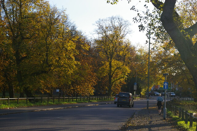
The common is known for its picturesque landscapes, featuring wide open spaces, grassy meadows, and a variety of trees and wildlife. It is a popular destination for outdoor activities, including walking, jogging, cycling, and picnicking. The park also offers several sports facilities, such as tennis courts and a bowling green, as well as a playground for children.
Wandsworth Common is home to a number of historical landmarks, including the Grade II listed Trinity United Reformed Church and the Grade II listed Bellevue Cottage. The park also features a large pond, called the Eagle Pond, which serves as a habitat for various bird species and other wildlife.
Throughout the year, Wandsworth Common hosts a range of community events and festivals, attracting visitors from all over London. These include summer fairs, music concerts, and sports tournaments.
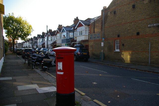
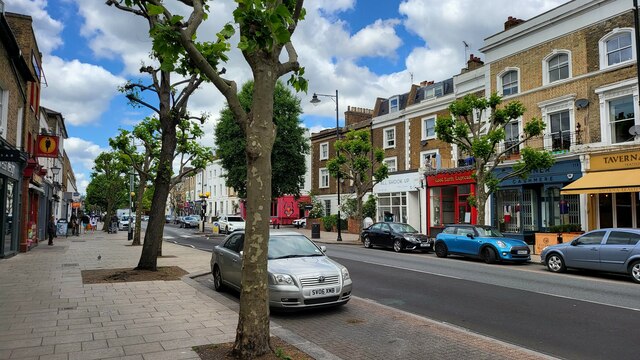
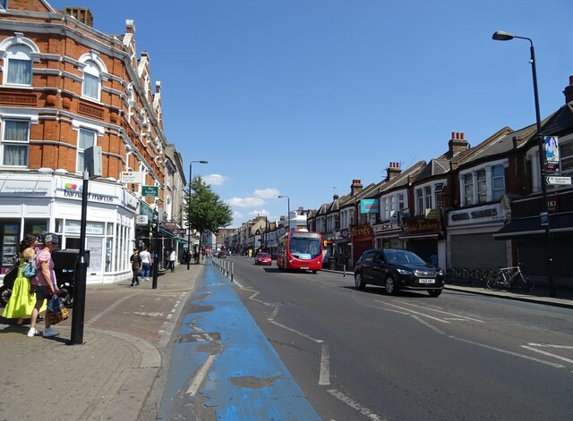
The common is well-served by public transportation, with the nearby Wandsworth Common railway station providing access to central London and other parts of the city. Additionally, the park is surrounded by a variety of shops, restaurants, and cafes, making it a vibrant and lively area.
If you have any feedback on the listing, please let us know in the comments section below.
Wandsworth Common Images
Images are sourced within 2km of 51.446113/-0.168117 or Grid Reference TQ2773. Thanks to Geograph Open Source API. All images are credited.


Wandsworth Common is located at Grid Ref: TQ2773 (Lat: 51.446113, Lng: -0.168117)
Unitary Authority: Wandsworth
Police Authority: Metropolitan
What 3 Words
///verge.powers.drip. Near Earlsfield, London
Nearby Locations
Related Wikis

Harveys (restaurant)
Harveys was a restaurant in Wandsworth, London, run by chef Marco Pierre White between 1987 and 1993. Its French cuisine was warmly received by food critics...
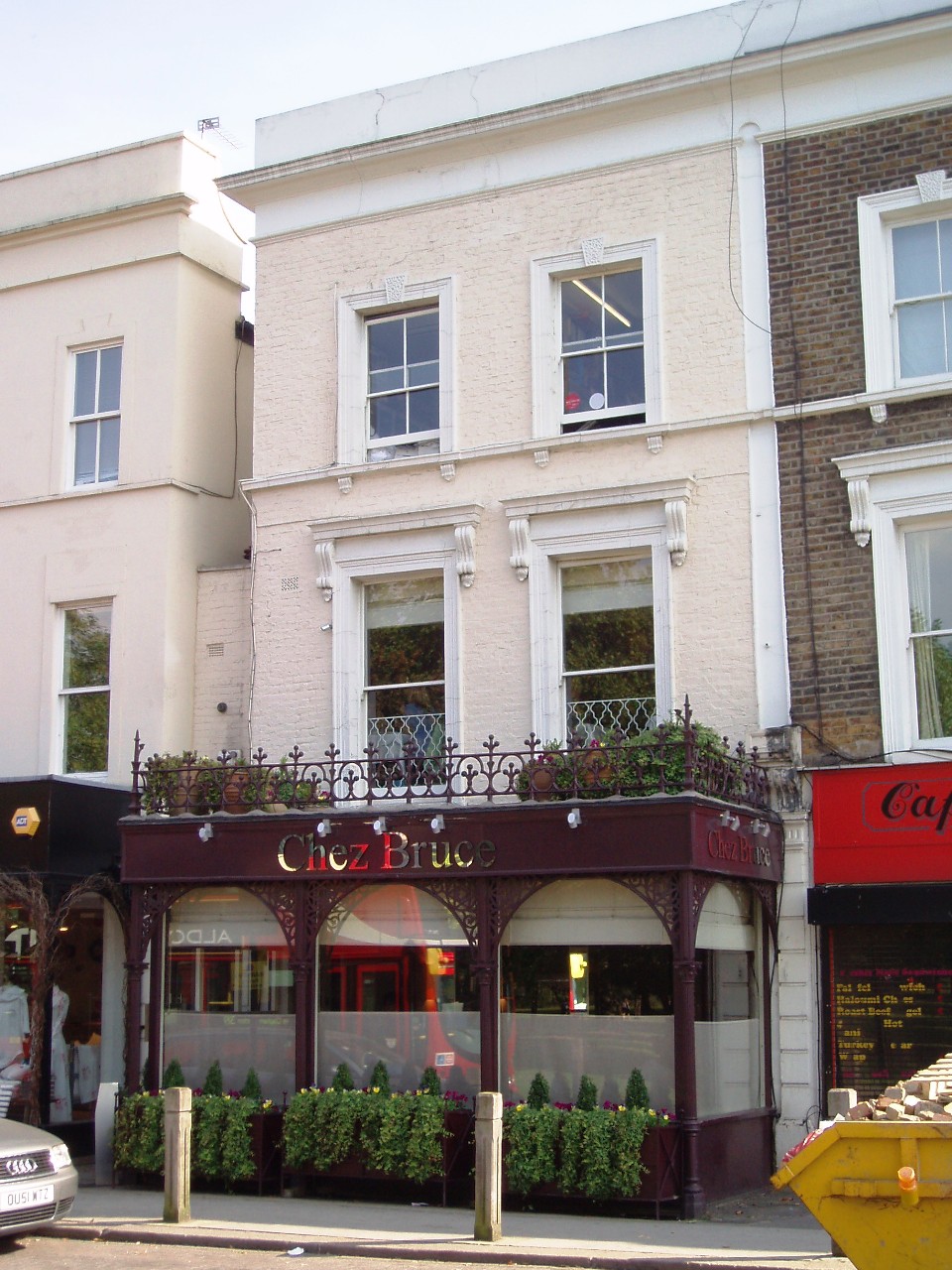
Chez Bruce
Chez Bruce is a restaurant located at 2 Bellevue Road in Wandsworth, London, England. == History == The restaurant was opened in February 1995 by Bruce...
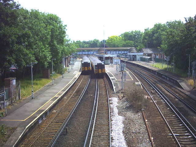
Wandsworth Common railway station
Wandsworth Common railway station is in the London Borough of Wandsworth in south London. It is 4 miles 5 chains (6.5 km) down the line from London Victoria...

Wandsworth Common
Wandsworth Common is a public common in Wandsworth, in the London Borough of Wandsworth, south London. It is 69.43 hectares (171.6 acres) and is maintained...
Nearby Amenities
Located within 500m of 51.446113,-0.168117Have you been to Wandsworth Common?
Leave your review of Wandsworth Common below (or comments, questions and feedback).