Wandsworth
Settlement in Surrey
England
Wandsworth

Wandsworth is a vibrant area located in the county of Surrey, England. Situated on the south bank of the River Thames, it lies just 4 miles southwest of Charing Cross, making it an ideal place for commuters to live. With a population of around 330,000, Wandsworth is one of the largest inner London boroughs, encompassing diverse residential and commercial areas.
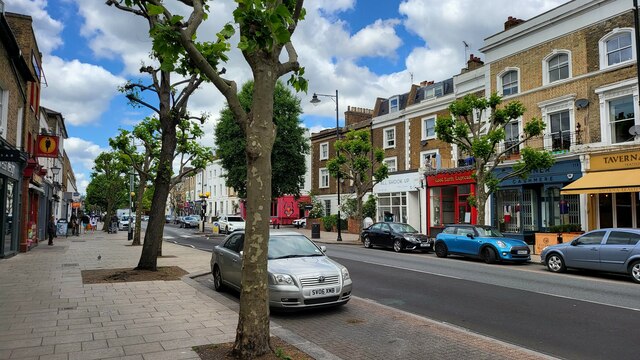
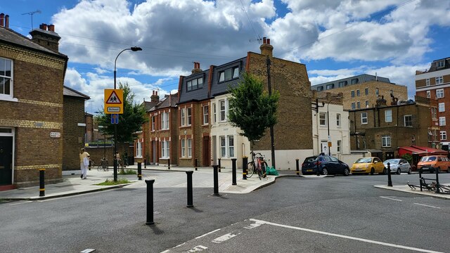
The borough is known for its rich history and charming architecture, with notable landmarks like the historic Wandsworth Town Hall and the Grade II listed All Saints Church. The area offers a mix of housing options, ranging from Victorian terraced houses to modern apartment complexes, catering to a wide range of budgets and preferences.
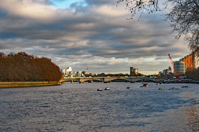
Wandsworth boasts an extensive array of amenities, including numerous parks and green spaces. Wandsworth Common, Battersea Park, and King George's Park are popular destinations for outdoor activities such as jogging, cycling, and picnicking. The borough also offers a number of excellent schools, making it an attractive place for families.
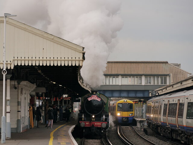
Transportation in Wandsworth is well-connected, with several train and tube stations serving the area. Wandsworth Town and Clapham Junction are major rail hubs, providing convenient access to central London and other parts of the country. The borough is also served by various bus routes, making it easy to navigate within the area.
In addition to its residential appeal, Wandsworth offers a vibrant nightlife scene, with an abundance of bars, restaurants, and entertainment venues. The area is also home to the renowned Battersea Arts Centre, which hosts a diverse range of performances, exhibitions, and cultural events.
Overall, Wandsworth is a thriving and sought-after location, offering a mix of historical charm, green spaces, and a bustling urban atmosphere.
If you have any feedback on the listing, please let us know in the comments section below.
Wandsworth Images
Images are sourced within 2km of 51.456774/-0.19274244 or Grid Reference TQ2574. Thanks to Geograph Open Source API. All images are credited.


Wandsworth is located at Grid Ref: TQ2574 (Lat: 51.456774, Lng: -0.19274244)
Unitary Authority: Wandsworth
Police Authority: Metropolitan
What 3 Words
///unless.doctor.follow. Near Wandsworth, London
Nearby Locations
Related Wikis
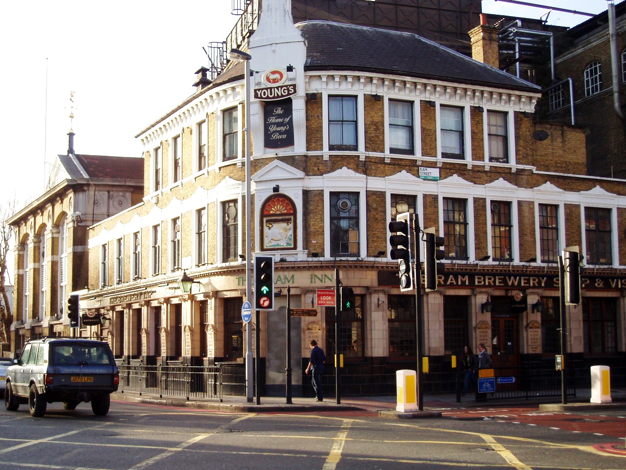
Ram Inn, Wandsworth
The Ram Inn (also known as The Brewery Tap, which was its name for much of the later twentieth century) is a historic pub at 68 Wandsworth High Street...

Spread Eagle, Wandsworth
The Spread Eagle is a Grade II listed public house at 69–71 Wandsworth High Street, Wandsworth, London. It was built in the late 19th century, and the...

Young's
Young's (Young & Co.'s Brewery Plc) is a British pub chain operating nearly 220 pubs. The company was founded as a brewery in 1831 by Charles Young and...
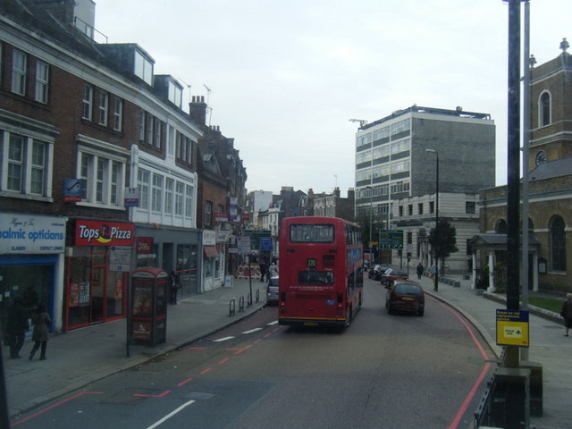
Wandsworth High Street
Wandsworth High Street is the main shopping street in Wandsworth, London, England. It forms part of the London inner ring road, the South Circular Road...
Nearby Amenities
Located within 500m of 51.456774,-0.19274244Have you been to Wandsworth?
Leave your review of Wandsworth below (or comments, questions and feedback).