Walwen

Settlement in Flintshire

Wales

Walwen

A541 near Nannerch The A541 runs for 26 miles, linking St Asaph with Wrexham. Its northern end starts at the crossroads in the middle of the village of Trefnant (just south of St Asaph). It ends at Wrexham, where it joins the B5101 road. On the way, it passes the town of Mold and also passes through many villages.
A541 near Nannerch Credit: David Dixon

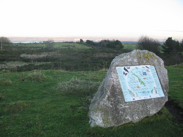
Walwen is a small village located in Flintshire, Wales. It is situated in the picturesque countryside, surrounded by rolling hills and lush green fields. The village is known for its quaint charm and peaceful atmosphere, making it a popular destination for those seeking a quiet retreat.

Walwen is home to a tight-knit community of residents who take pride in their village and work together to maintain its beauty. The village has a few amenities, including a local pub and a small shop, providing the essentials for its residents.

The surrounding area offers plenty of opportunities for outdoor activities such as hiking, cycling, and horseback riding. The village is also located near the River Dee, providing fishing and boating opportunities for outdoor enthusiasts.

Overall, Walwen is a charming village with a strong sense of community and a beautiful natural setting. It is the perfect place for those looking to escape the hustle and bustle of city life and enjoy a tranquil and peaceful environment.

If you have any feedback on the listing, please let us know in the comments section below.
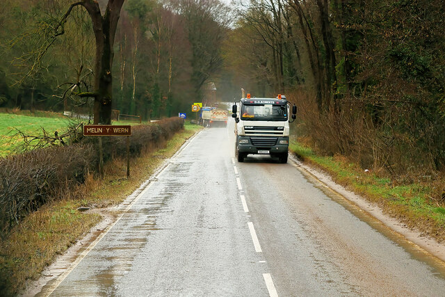
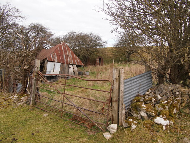
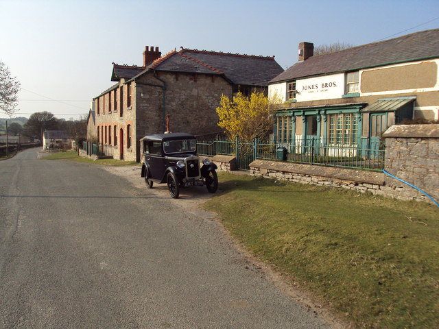
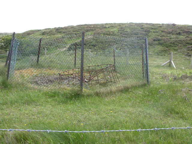
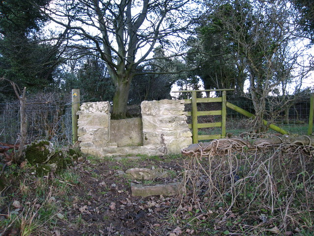
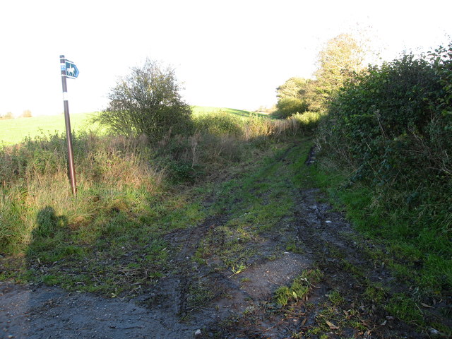
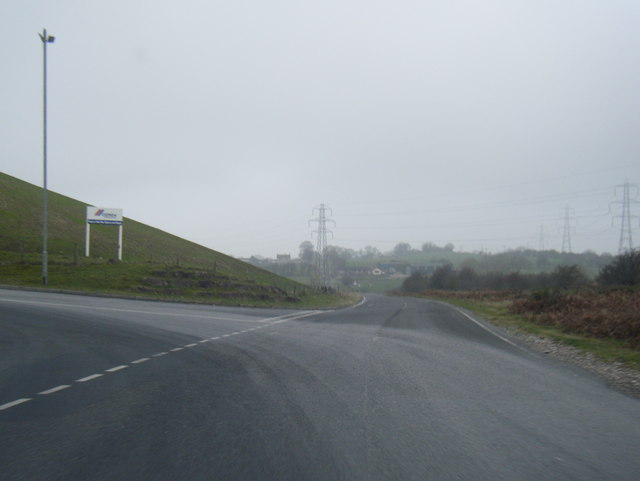
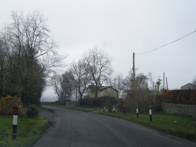
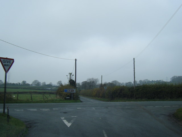
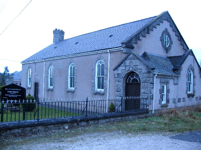
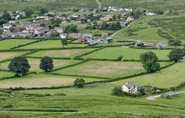
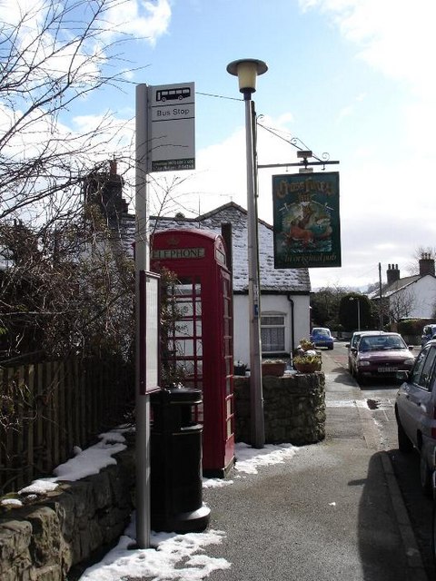
Walwen Images

Images are sourced within 2km of 53.231633/-3.240271 or Grid Reference SJ1771. Thanks to Geograph Open Source API. All images are credited.

A541 near Nannerch The A541 runs for 26 miles, linking St Asaph with Wrexham. Its northern end starts at the crossroads in the middle of the village of Trefnant (just south of St Asaph). It ends at Wrexham, where it joins the B5101 road. On the way, it passes the town of Mold and also passes through many villages.
A541 near Nannerch
The A541 runs for 26 miles, linking St Asaph with Wrexham. Its northern end starts at the crossroads in the middle of the village of Trefnant (just south of St Asaph). It ends at Wrexham, where it joins the B5101 road. On the way, it passes the town of Mold and also passes through many villages.
A541, Melin y Wern The A541 runs for 26 miles, linking St Asaph with Wrexham. Its northern end starts at the crossroads in the middle of the village of Trefnant (just south of St Asaph). It ends at Wrexham, where it joins the B5101 road. On the way, it passes the town of Mold and also passes through many villages.
A541, Melin y Wern
The A541 runs for 26 miles, linking St Asaph with Wrexham. Its northern end starts at the crossroads in the middle of the village of Trefnant (just south of St Asaph). It ends at Wrexham, where it joins the B5101 road. On the way, it passes the town of Mold and also passes through many villages.
The Old Mill at Melin y Wern The large, three-storey building set back from the road is a late-Georgian, former mill. It is now used as self-catering holiday accommodation. Grade II-listed (Cadw reference: 529 <span class="nowrap"><a title="http://cadwpublic-api.azurewebsites.net/reports/listedbuilding/FullReport?lang=en&id=529" rel="nofollow ugc noopener" href="http://cadwpublic-api.azurewebsites.net/reports/listedbuilding/FullReport?lang=en&id=529">Link</a><img style="margin-left:2px;" alt="External link" title="External link - shift click to open in new window" src="https://s1.geograph.org.uk/img/external.png" width="10" height="10"/></span> ).
The Old Mill at Melin y Wern
The large, three-storey building set back from the road is a late-Georgian, former mill. It is now used as self-catering holiday accommodation. Grade II-listed (Cadw reference: 529 LinkExternal link ).
Neglected Enclosure, Below Halkyn Mountain
Lixwm village shop Located in the car park of the Crown Inn in what appears to be a former garage.
Lixwm village shop
Located in the car park of the Crown Inn in what appears to be a former garage.
Rhes y Cae, Flintshire Looking down the main road in Rhes y Cae towards The Miners Arms.
Rhes y Cae, Flintshire
Looking down the main road in Rhes y Cae towards The Miners Arms.
A541 looking east
A541 looking east
Open lead mine shaft on Halkyn Mountain This 19th century shaft is well fenced and made safe with a metal frame. It is alongside a long opencast working
Open lead mine shaft on Halkyn Mountain
This 19th century shaft is well fenced and made safe with a metal frame. It is alongside a long opencast working
Stone stile On a footpath from a minor lane near Ash Farm.  There are several of these stiles recently built in this traditional style through the boundaries between fields on this route
Stone stile
On a footpath from a minor lane near Ash Farm. There are several of these stiles recently built in this traditional style through the boundaries between fields on this route
Bridleway from Ysceifiog Where it crosses a minor lane near Ash Farm, heading east through fields towards a road between Lixwm and Brynford
Bridleway from Ysceifiog
Where it crosses a minor lane near Ash Farm, heading east through fields towards a road between Lixwm and Brynford
Enclosed path Heading south east between fields from the junction of a footpath west of Lixwm
Enclosed path
Heading south east between fields from the junction of a footpath west of Lixwm
Quarry entrance near Pant-y-groes
Lane near Llwyn-y-cosyn Farm
Crossroads near Groesfford Farm
Opencast lead workings on Long Rake These workings run parallel to the road here, close to Rhes-y-Cae and are said to be ancient, possibly Roman.
Opencast lead workings on Long Rake
These workings run parallel to the road here, close to Rhes-y-Cae and are said to be ancient, possibly Roman.
Plas Coch (Red Mansion) From the public footpath - the house is white nowadays.
Plas Coch (Red Mansion)
From the public footpath - the house is white nowadays.
Barn at Plas Coch Taken from the public footpath
Barn at Plas Coch
Taken from the public footpath
Llwyn Errdyn There's a footpath to the right here somewhere but it's completely unmarked and impossible to use.

Llwyn = Grove. Erddyn has so many abstract meanings that it may be a person's name in this case.
Llwyn Errdyn
There's a footpath to the right here somewhere but it's completely unmarked and impossible to use. Llwyn = Grove. Erddyn has so many abstract meanings that it may be a person's name in this case.
Show me another place!

Walwen is located at Grid Ref: SJ1771 (Lat: 53.231633, Lng: -3.240271)

Unitary Authority: Flintshire

Police Authority: North Wales

What 3 Words

///stadium.shark.nourished. Near Halkyn, Flintshire

Related Wikis

Lixwm

Lixwm (Welsh: Licswm) is a small village in Flintshire, Wales. It is part of the community of Ysceifiog. Lixwm was formerly a mining village, and one explanation...

Rhes-y-cae

Rhes-y-cae is a small parish and village in Flintshire, Wales. Literally translated from Welsh, Rhes-y-cae is 'Row of fields'. It is situated between...

Nannerch

Nannerch is a village and community in Flintshire, Wales, located within the Clwydian Range and Dee Valley Area of Outstanding Natural Beauty. At the 2001...

Halkyn Common and Holywell Grasslands

Halkyn Common and Holywell Grasslands (Welsh: Comin Helygain a Glaswelltiroedd Treffynnon) is a Site of Special Scientific Interest in Flintshire, north...

Nearby Amenities

Located within 500m of 53.231633,-3.240271
Lixwm
Name Cy: Licswm
Name En: Lixwm
Place: village
Wikidata: Q6659980
Lat/Long: 53.2332524/-3.2469249
Pub
The Crown Inn
Addr Postcode: CH8 8NQ
Fhrs Id: 828704
Source Addr Postcode: FHRS Open Data
Wikidata: Q80855269
Lat/Long: 53.2335659/-3.246495
Noexit: yes
Lat/Long: 53.2301764/-3.2442006
Bus Stop
Bus: yes
Naptan AtcoCode: 5120AWF80751
Naptan NaptanCode: flidawt
Public Transport: platform
Lat/Long: 53.2293322/-3.2453806
Post Box
Lat/Long: 53.2301853/-3.2450777
Post Box
Fixme: location approx (opposite pub)
Operator: Royal Mail
Post Box Type: lamp
Source: survey
Lat/Long: 53.2334144/-3.2465943
Power: pole
Lat/Long: 53.2302986/-3.2465005
Direction: 175
Generator Method: photovoltaic
Generator Output Electricity: yes
Generator Solar Modules: 14
Generator Source: solar
Generator Type: solar_photovoltaic_panel
Location: roof
Power: generator
Lat/Long: 53.2303967/-3.2445449
Direction: 175
Generator Method: photovoltaic
Generator Output Electricity: yes
Generator Solar Modules: 14
Generator Source: solar
Generator Type: solar_photovoltaic_panel
Location: roof
Power: generator
Lat/Long: 53.230391/-3.2444209
Direction: 175
Generator Method: photovoltaic
Generator Output Electricity: yes
Generator Solar Modules: 14
Generator Source: solar
Generator Type: solar_photovoltaic_panel
Location: roof
Power: generator
Lat/Long: 53.2303834/-3.244282
Direction: 175
Generator Method: photovoltaic
Generator Output Electricity: yes
Generator Solar Modules: 14
Generator Source: solar
Generator Type: solar_photovoltaic_panel
Location: roof
Power: generator
Lat/Long: 53.230385/-3.2441721
Direction: SSW
Generator Method: photovoltaic
Generator Output Electricity: yes
Generator Solar Modules: 14
Generator Source: solar
Generator Type: solar_photovoltaic_panel
Location: roof
Power: generator
Lat/Long: 53.2303385/-3.2440165
Direction: SSW
Generator Method: photovoltaic
Generator Output Electricity: yes
Generator Solar Modules: 14
Generator Source: solar
Generator Type: solar_photovoltaic_panel
Location: roof
Power: generator
Lat/Long: 53.2303103/-3.2438918
Direction: SSW
Generator Method: photovoltaic
Generator Output Electricity: yes
Generator Solar Modules: 14
Generator Source: solar
Generator Type: solar_photovoltaic_panel
Location: roof
Power: generator
Lat/Long: 53.2299218/-3.2441788
Direction: SSW
Generator Method: photovoltaic
Generator Output Electricity: yes
Generator Solar Modules: 14
Generator Source: solar
Generator Type: solar_photovoltaic_panel
Location: roof
Power: generator
Lat/Long: 53.2299491/-3.2443008
Direction: SSW
Generator Method: photovoltaic
Generator Output Electricity: yes
Generator Solar Modules: 14
Generator Source: solar
Generator Type: solar_photovoltaic_panel
Location: roof
Power: generator
Lat/Long: 53.2299861/-3.2444054
Direction: SSW
Generator Method: photovoltaic
Generator Output Electricity: yes
Generator Solar Modules: 14
Generator Source: solar
Generator Type: solar_photovoltaic_panel
Location: roof
Power: generator
Lat/Long: 53.2300142/-3.244518
Direction: ESE
Generator Method: photovoltaic
Generator Output Electricity: yes
Generator Solar Modules: 14
Generator Source: solar
Generator Type: solar_photovoltaic_panel
Location: roof
Power: generator
Lat/Long: 53.2299878/-3.2439241
Direction: ESE
Generator Method: photovoltaic
Generator Output Electricity: yes
Generator Solar Modules: 14
Generator Source: solar
Generator Type: solar_photovoltaic_panel
Location: roof
Power: generator
Lat/Long: 53.2300632/-3.2438664
Direction: ESE
Generator Method: photovoltaic
Generator Output Electricity: yes
Generator Solar Modules: 14
Generator Source: solar
Generator Type: solar_photovoltaic_panel
Location: roof
Power: generator
Lat/Long: 53.2301323/-3.2438141
Direction: ESE
Generator Method: photovoltaic
Generator Output Electricity: yes
Generator Solar Modules: 14
Generator Source: solar
Generator Type: solar_photovoltaic_panel
Location: roof
Power: generator
Lat/Long: 53.2301869/-3.2437645
Power: pole
Lat/Long: 53.2342654/-3.2354358
Power: pole
Lat/Long: 53.2336058/-3.2356099
Power: pole
Lat/Long: 53.2329195/-3.2358136
Disused: yes
Man Made: mineshaft
Lat/Long: 53.2301749/-3.2416158
Man Made: mineshaft
Lat/Long: 53.2319387/-3.240414
Barrier: stile
Lat/Long: 53.2293627/-3.242704
Barrier: stile
Lat/Long: 53.22966/-3.2427592
Barrier: stile
Lat/Long: 53.2280615/-3.242299
Man Made: mineshaft
Lat/Long: 53.2285176/-3.2399106
Walwen
Place: hamlet
Lat/Long: 53.2319643/-3.2415708
Man Made: mineshaft
Lat/Long: 53.2329829/-3.2430789
Man Made: mineshaft
Lat/Long: 53.2329243/-3.2435663
Man Made: mineshaft
Lat/Long: 53.234004/-3.2391796
Man Made: mineshaft
Lat/Long: 53.2339513/-3.2392644
Man Made: mineshaft
Lat/Long: 53.2339443/-3.2391785
Man Made: mineshaft
Lat/Long: 53.2339916/-3.2390713
Man Made: mineshaft
Lat/Long: 53.2339096/-3.2392356
Man Made: mineshaft
Lat/Long: 53.2338367/-3.2392721
Man Made: mineshaft
Lat/Long: 53.2337754/-3.2393437
Man Made: mineshaft
Lat/Long: 53.2337284/-3.2394628
Man Made: mineshaft
Lat/Long: 53.2338168/-3.239853
Man Made: mineshaft
Lat/Long: 53.233704/-3.2399146
Power: pole
Lat/Long: 53.2339107/-3.2398441
Power: pole
Lat/Long: 53.233993/-3.2389047
Power: pole
Lat/Long: 53.2341152/-3.2373862
Man Made: mineshaft
Lat/Long: 53.2344392/-3.236009
Man Made: mineshaft
Lat/Long: 53.2346546/-3.2360503
Man Made: mineshaft
Lat/Long: 53.2346591/-3.2358958
Man Made: mineshaft
Lat/Long: 53.2347789/-3.2360298
Man Made: mineshaft
Lat/Long: 53.2347855/-3.2358645
Berthen Farm Lead Mines
Historic: mine
Lat/Long: 53.2359146/-3.241954
Power: pole
Lat/Long: 53.2333416/-3.2408401
Power: pole
Lat/Long: 53.2327305/-3.2414986
Power: pole
Lat/Long: 53.2312554/-3.245202
Power: pole
Lat/Long: 53.230743/-3.2463793
Grit Bin
Lat/Long: 53.230207/-3.2442452
Pant-y-Nef South Shaft
Man Made: mineshaft
Lat/Long: 53.2348087/-3.2410218
Direction: 215
Generator Method: photovoltaic
Generator Output Electricity: yes
Generator Solar Modules: 2
Generator Source: solar
Generator Type: solar_photovoltaic_panel
Location: roof
Power: generator
Lat/Long: 53.2325875/-3.2473163
Direction: 175
Generator Method: photovoltaic
Generator Output Electricity: yes
Generator Solar Modules: 12
Generator Source: solar
Generator Type: solar_photovoltaic_panel
Location: roof
Power: generator
Lat/Long: 53.2286105/-3.244856
Direction: 195
Generator Method: photovoltaic
Generator Output Electricity: yes
Generator Solar Modules: 16
Generator Source: solar
Generator Type: solar_photovoltaic_panel
Location: roof
Power: generator
Lat/Long: 53.2287759/-3.2455319
Direction: W
Generator Method: photovoltaic
Generator Output Electricity: yes
Generator Solar Modules: 10
Generator Source: solar
Generator Type: solar_photovoltaic_panel
Location: roof
Power: generator
Lat/Long: 53.2299207/-3.2449821
Direction: 100
Generator Method: photovoltaic
Generator Output Electricity: yes
Generator Solar Modules: 14
Generator Source: solar
Generator Type: solar_photovoltaic_panel
Location: roof
Power: generator
Lat/Long: 53.2305083/-3.2447916
Direction: 215
Generator Method: photovoltaic
Generator Output Electricity: yes
Generator Solar Modules: 20
Generator Source: solar
Generator Type: solar_photovoltaic_panel
Location: roof
Power: generator
Lat/Long: 53.232207/-3.2420853
Direction: 215
Generator Method: photovoltaic
Generator Output Electricity: yes
Generator Solar Modules: 4
Generator Source: solar
Generator Type: solar_photovoltaic_panel
Location: roof
Power: generator
Lat/Long: 53.2325698/-3.247264
Direction: 125
Generator Method: photovoltaic
Generator Output Electricity: yes
Generator Solar Modules: 7
Generator Source: solar
Generator Type: solar_photovoltaic_panel
Location: roof
Power: generator
Lat/Long: 53.2325658/-3.24739
The data included in this document is from www.openstreetmap.org. The data is made available under ODbL.

Have you been to Walwen?

Leave your review of Walwen below (or comments, questions and feedback).