Boyton
Settlement in Cornwall
England
Boyton
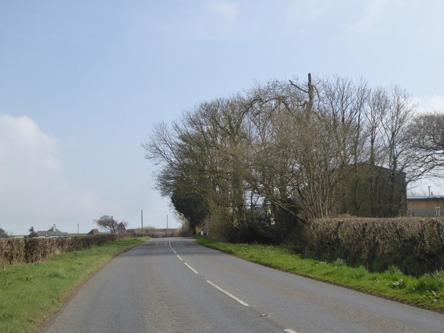
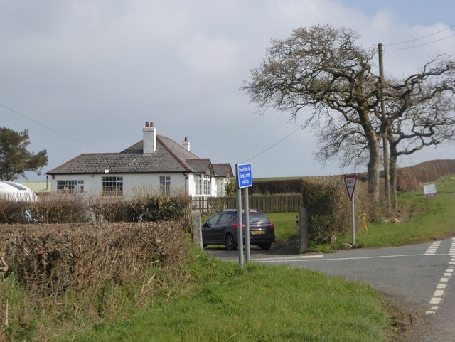
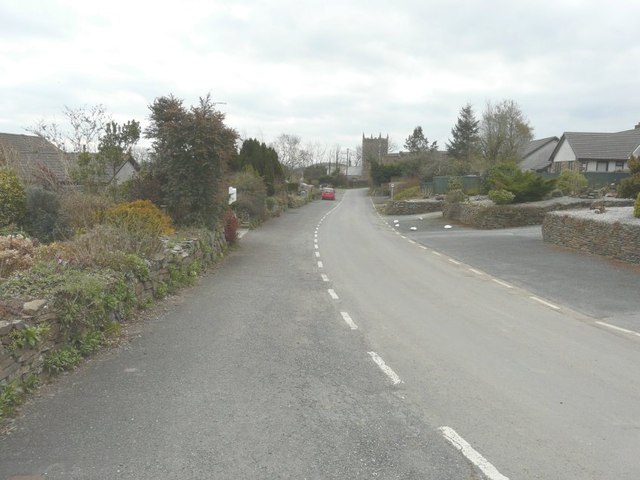
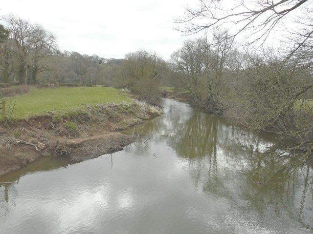
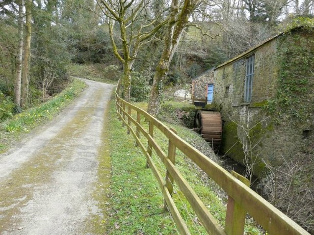
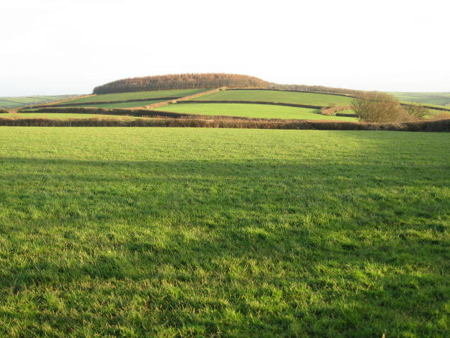
Boyton is a small village located in the county of Cornwall, England. Situated in the civil parish of North Tamerton, Boyton is surrounded by picturesque countryside and offers a tranquil and scenic setting. The village is nestled in the upper valley of the River Tamar, which forms the border between Cornwall and Devon.
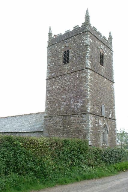
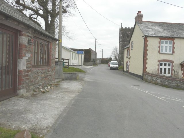
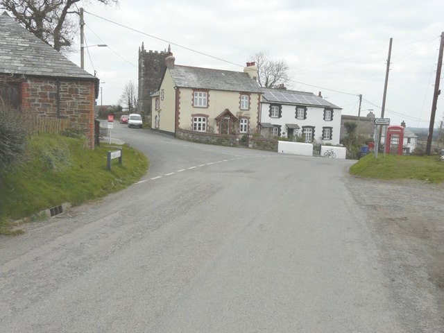
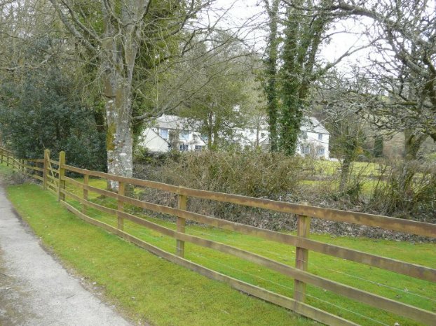
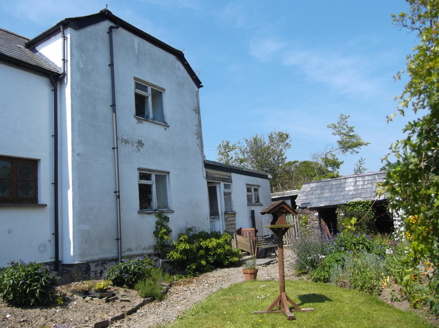
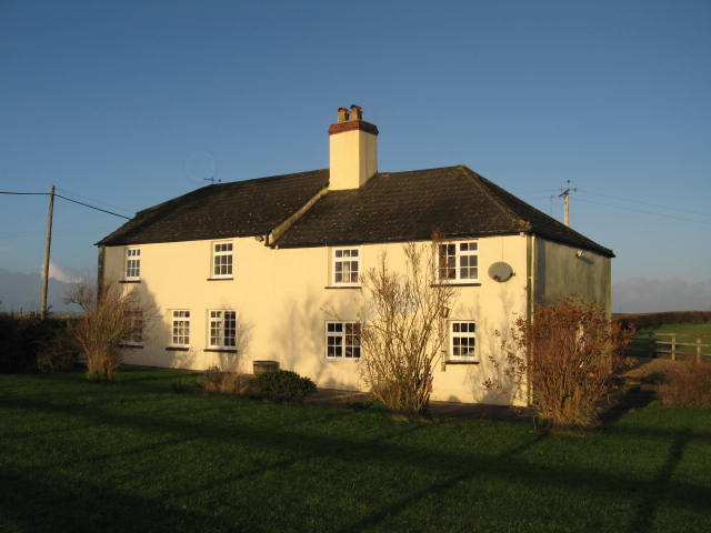
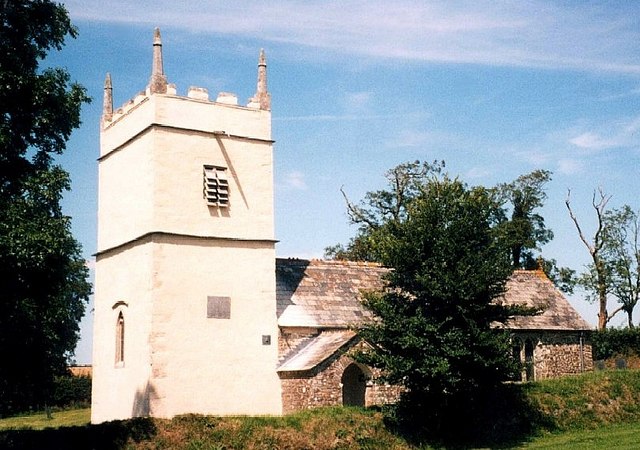
With a population of around 200 residents, Boyton is a close-knit community that exudes charm and character. The village is known for its traditional Cornish stone cottages, many of which date back several centuries, giving it a distinct historic feel. The local church, St. Petroc's, is a notable landmark, featuring original Norman architecture and intricate stained glass windows.
One of Boyton's main attractions is its proximity to the Tamar Valley Area of Outstanding Natural Beauty. This designation ensures that the surrounding landscapes remain unspoiled and offer a wealth of outdoor activities for visitors and locals alike. The area is renowned for its scenic walking trails, offering stunning views of the river and surrounding countryside.
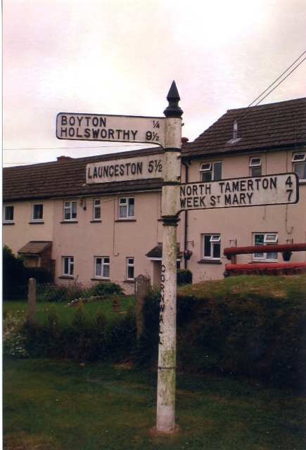
Despite its rural location, Boyton is well-connected to nearby towns and villages. The market town of Launceston is just a short drive away, providing residents with access to a range of amenities, including shops, schools, and healthcare facilities. Additionally, the village benefits from a local pub, The Polson Bridge Inn, which offers a warm welcome and traditional pub fare.
In summary, Boyton is a picturesque village in Cornwall, offering a quintessentially English countryside experience. With its historic buildings, stunning natural landscapes, and strong sense of community, Boyton is an idyllic destination for those seeking a peaceful and scenic retreat.
If you have any feedback on the listing, please let us know in the comments section below.
Boyton Images
Images are sourced within 2km of 50.702757/-4.38553 or Grid Reference SX3191. Thanks to Geograph Open Source API. All images are credited.
Boyton is located at Grid Ref: SX3191 (Lat: 50.702757, Lng: -4.38553)
Unitary Authority: Cornwall
Police Authority: Devon and Cornwall
What 3 Words
///shadowing.farms.slouched. Near Boyton, Cornwall
Nearby Locations
Related Wikis

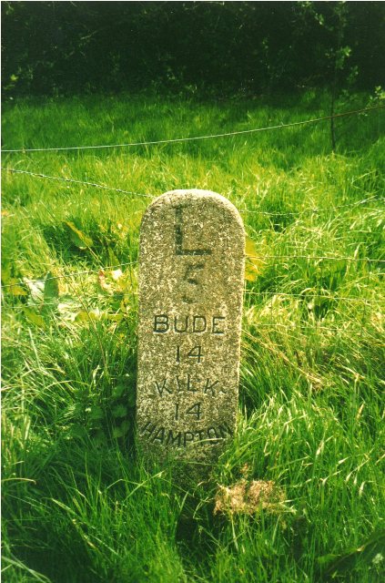
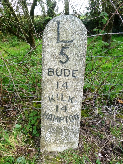
Boyton, Cornwall
Boyton (Cornish: Trevoya) is a civil parish and village in Cornwall, England, United Kingdom. It is situated close to the River Tamar and the border with...

North Beer
North Beer is a hamlet in the parish of Boyton in north Cornwall, England. North Beer is west of Boyton. == References ==

Luffincott
Luffincott is a civil parish in the far west of Devon, England. It forms part of the local government district of Torridge and lies about six miles south...

Langdon, Cornwall
Langdon is a hamlet in north Cornwall approximately five miles north of Launceston; it is west of Canworthy. Langdon sits at 50.6839’ latitude and -4.40239954...

Bennacott
Bennacott is a village in east Cornwall, England, in the United Kingdom. It is five miles (8 km) north of Launceston and in the parish of Boyton. ��2...

Northcott, Devon
Northcott is a small settlement and civil parish in the far west of Devon, England. It lies about seven miles south of the town of Holsworthy and forms...

Curry Lane
Curry Lane is a hamlet in the parish of Boyton Cornwall, England. == References ==
St James's Church, Luffincott
St James's Church in Luffincott, Devon, England was built in the 15th century. It is recorded in the National Heritage List for England as a designated...
Related Videos
*FAIL* How I didn't do Lands End to John O'Groats on my Sym NHT 125cc August 2021 p3/3
This is the 3rd and final part of my first tour on a 125 - my lands end to john o groats attempt. It's been amazing and I've gotten ...
Nearby Amenities
Located within 500m of 50.702757,-4.38553Have you been to Boyton?
Leave your review of Boyton below (or comments, questions and feedback).