Boythorpe
Settlement in Derbyshire Chesterfield
England
Boythorpe
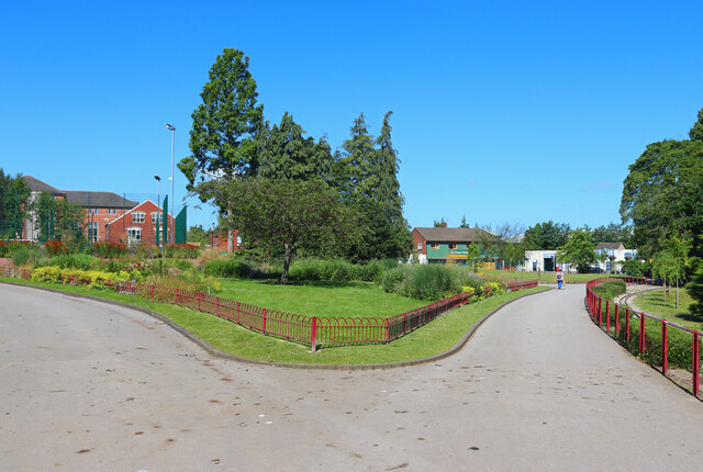
Boythorpe is a small suburb located in the county of Derbyshire, England. Situated approximately 1.5 miles from the town center of Chesterfield, Boythorpe is primarily a residential area with a mix of housing styles, ranging from traditional terraced houses to modern developments. The suburb is bordered by the A61 road to the west and the River Hipper to the east.
Although Boythorpe is a relatively small area, it offers a variety of amenities and facilities for its residents. The nearby Alma Leisure Park provides entertainment options such as a cinema, bowling alley, and several restaurants. Additionally, the Chesterfield Football Club's stadium, Proact Stadium, is located in close proximity, offering sports enthusiasts the opportunity to attend matches.
For educational needs, Boythorpe is home to a primary school, providing education for children aged 4 to 11. Secondary education is easily accessible with several schools available in the surrounding area.
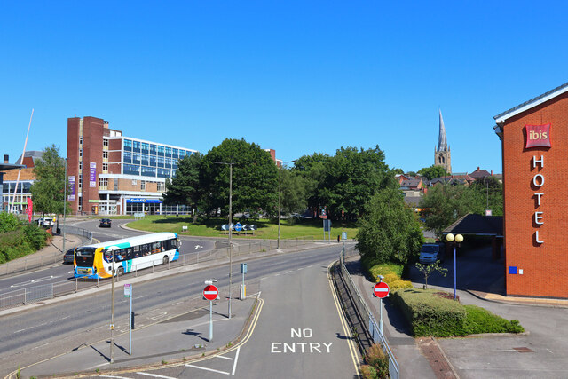
Transportation in Boythorpe is convenient, with regular bus services connecting the suburb to Chesterfield town center and other nearby areas. The suburb also benefits from its proximity to the A61 road, providing easy access to the wider county and beyond.
In terms of recreational opportunities, Boythorpe is surrounded by picturesque countryside, making it ideal for outdoor activities such as walking and cycling. The nearby Peak District National Park offers stunning landscapes and opportunities for hiking and exploring.
Overall, Boythorpe provides a peaceful and convenient place to live, with its range of amenities, access to transportation, and proximity to natural beauty.
If you have any feedback on the listing, please let us know in the comments section below.
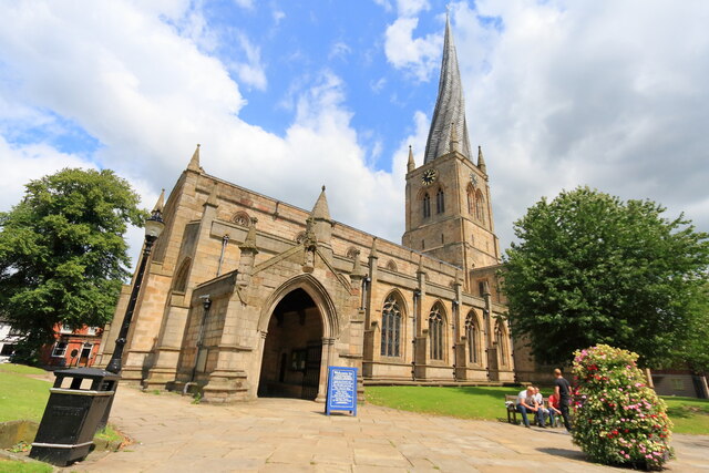
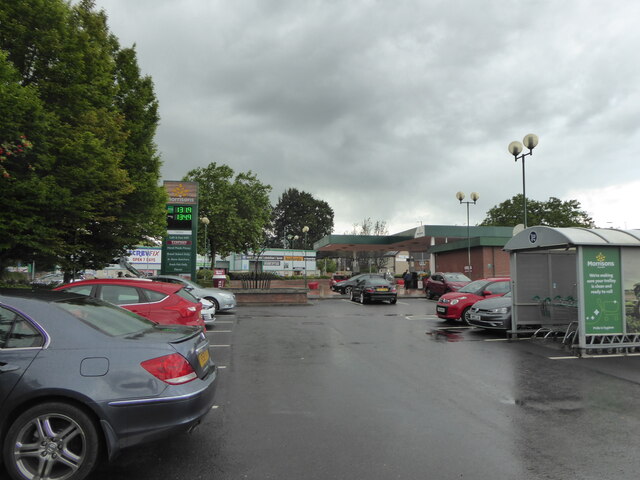
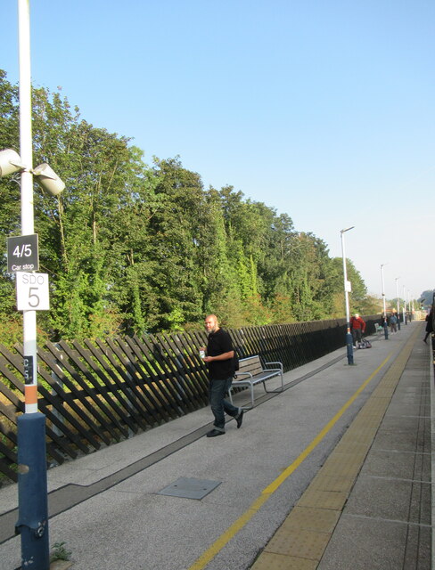
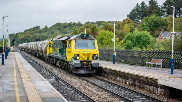
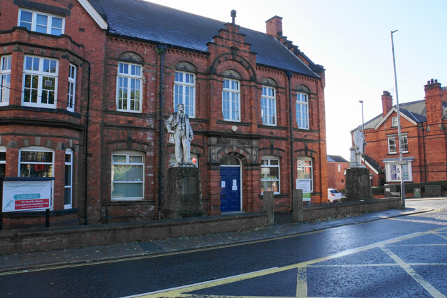
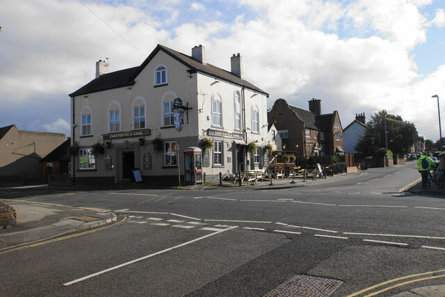
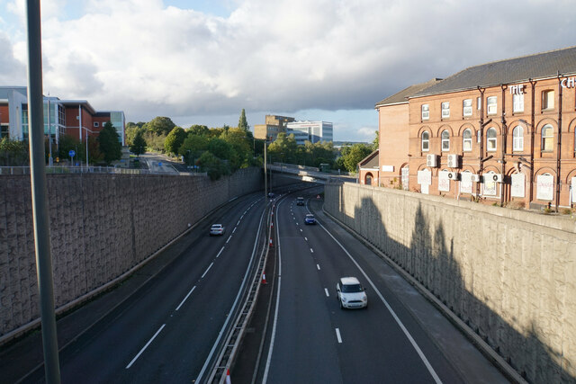
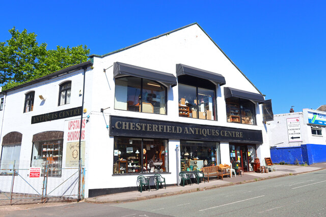
Boythorpe Images
Images are sourced within 2km of 53.226619/-1.441239 or Grid Reference SK3770. Thanks to Geograph Open Source API. All images are credited.


Boythorpe is located at Grid Ref: SK3770 (Lat: 53.226619, Lng: -1.441239)
Administrative County: Derbyshire
District: Chesterfield
Police Authority: Derbyshire
What 3 Words
///slowly.racks.record. Near Walton, Derbyshire
Related Wikis

Boythorpe
Boythorpe is a small suburb to the south-west of Chesterfield town centre in Derbyshire, England. It also borders Birdholme to its east, and Walton to...
Parkside Community School
Parkside Community School (formerly William Rhodes Secondary School) is a co-educational secondary school located in the Boythorpe area of Chesterfield...
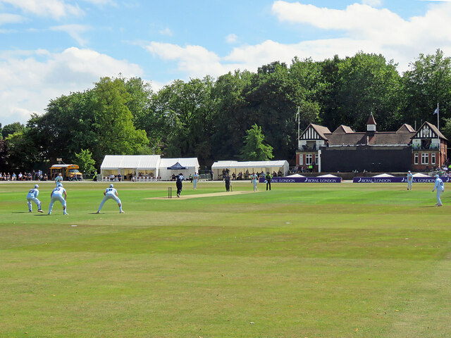
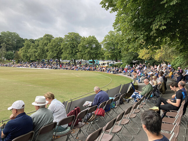
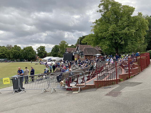
Queen's Park, Chesterfield
Queen's Park is a county cricket ground located in Chesterfield, Derbyshire, England and lies within a park in the centre of the town established for the...
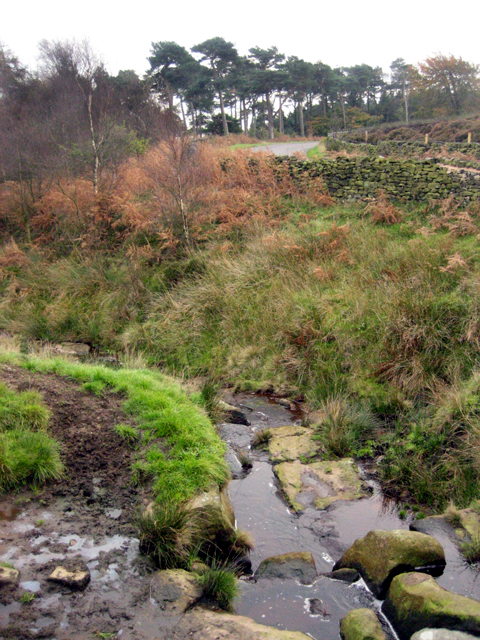
River Hipper
The River Hipper is a tributary of the River Rother in Derbyshire, England. Its source is a large expanse of wetlands, fed by the surrounding moors between...
Walton Hall, Chesterfield
Walton Hall is a late 18th-century country house, now a farmhouse, situated at Foljambe Avenue, Walton, Chesterfield. It is a Grade II listed building...
Boythorpe Viaduct
Boythorpe Viaduct was a railway viaduct in Chesterfield, England. == Description == The viaduct had two spans and two arches, which carried the LD&ECR...
Chesterfield power station
Chesterfield power station supplied electricity to the town of Chesterfield, Derbyshire from 1901 to 1958. The electricity generating station was owned...

Chesterfield Market Place railway station
Chesterfield Market Place railway station was a former railway station in the centre of the town of Chesterfield, Derbyshire, England. == Three stations... ==
Related Videos

Chesterfield, 🇬🇧England Walking Tour (dji osmo pocket)
Exploring the English market town Chesterfield in the Derbyshire county.


CHESTERFIELD | The most underrated town in the UK?
CHESTERFIELD | The most underrated town in the UK? Gimbal Walk TV visits Chesterfield, Derbyshire - a town with a crooked ...
Nearby Amenities
Located within 500m of 53.226619,-1.441239Have you been to Boythorpe?
Leave your review of Boythorpe below (or comments, questions and feedback).