Walsall Wood

Settlement in Staffordshire

England

Walsall Wood

Closed Shire Oak The view of the former Pub on the junction of the A461 and the A452 in Walsall.
Closed Shire Oak Credit: Gordon Griffiths

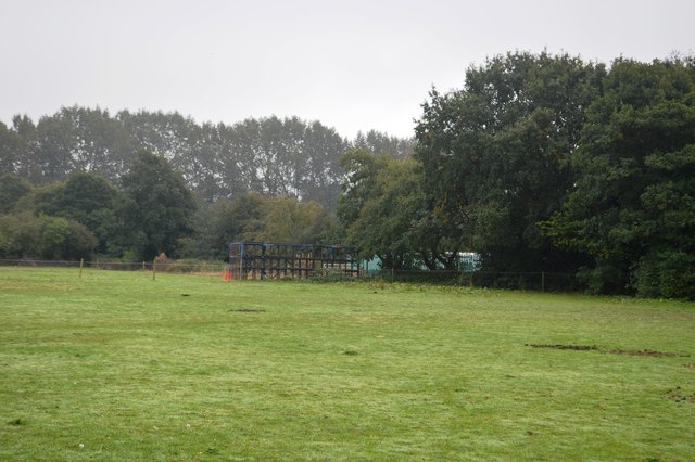
Walsall Wood is a small village located in the county of Staffordshire, England. Situated approximately 10 miles north of Birmingham, it falls within the Walsall Metropolitan Borough. The village is surrounded by picturesque countryside, with nearby attractions such as Chasewater Country Park and Cannock Chase offering opportunities for outdoor activities.

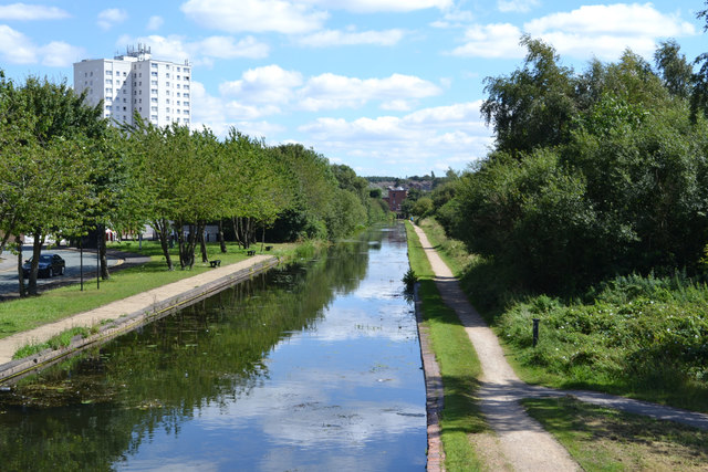
Historically, Walsall Wood was known for its coal mining industry, which played a significant role in the village's development. In the 19th and early 20th centuries, the area saw a rapid increase in population as miners and their families settled in the village. Today, remnants of this industrial heritage can still be seen in the form of former colliery buildings and the preserved mining railway at Chasewater.

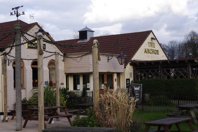
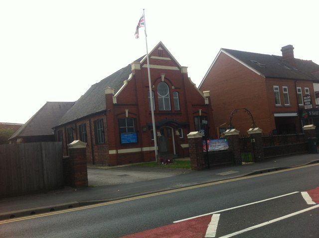
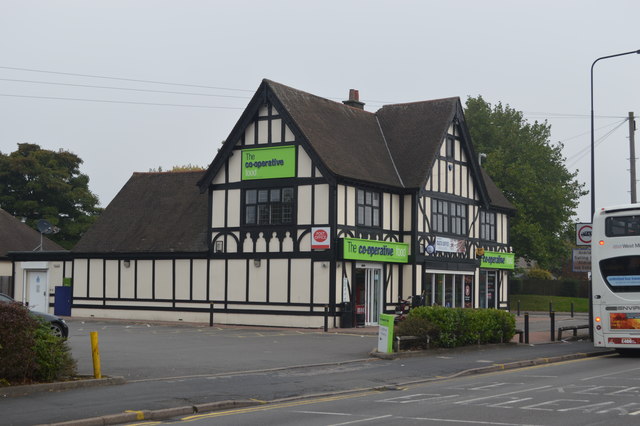
Despite its industrial past, Walsall Wood has evolved into a peaceful residential area with a close-knit community. The village boasts a range of amenities, including local shops, pubs, and schools, catering to the needs of its residents. The nearby town of Walsall provides additional shopping and entertainment options.

Transport links in Walsall Wood are well-developed, with regular bus services connecting the village to surrounding areas. The M6 motorway is easily accessible, providing convenient access to Birmingham and other major cities in the region.

Overall, Walsall Wood offers a blend of rural charm and convenient access to urban amenities, making it an attractive place to live for those seeking a peaceful village lifestyle within reach of larger towns and cities.

If you have any feedback on the listing, please let us know in the comments section below.
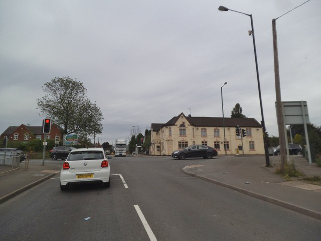
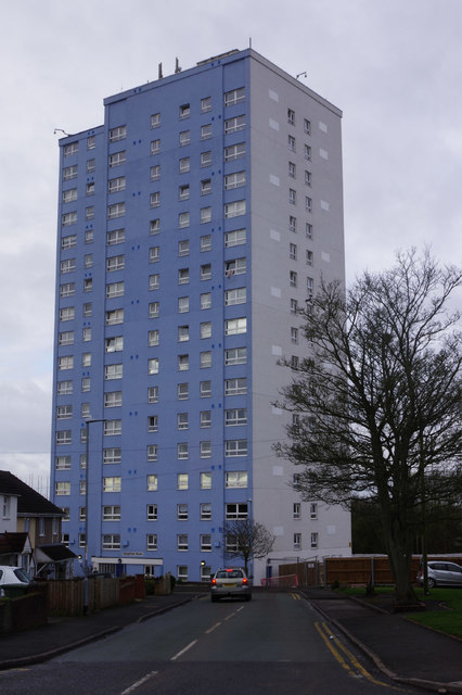
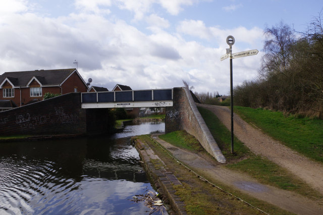
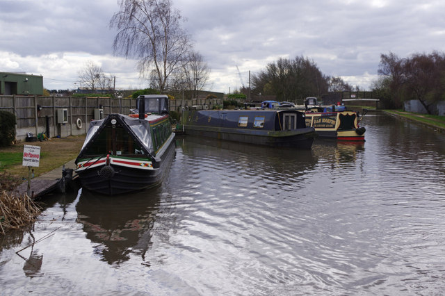
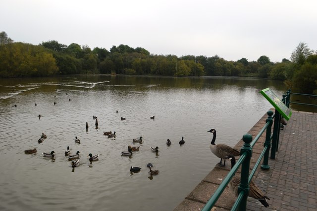
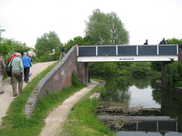
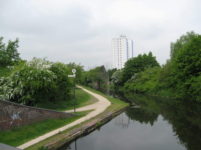
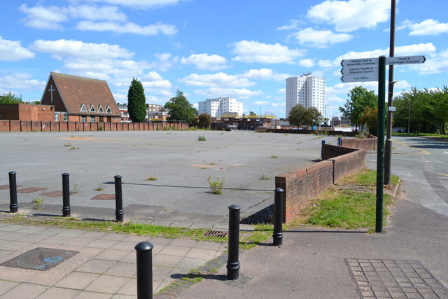
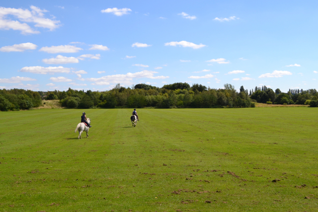
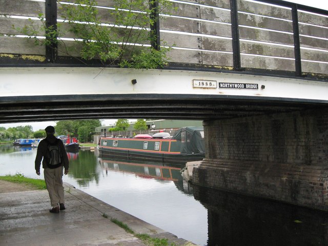
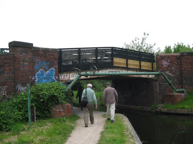
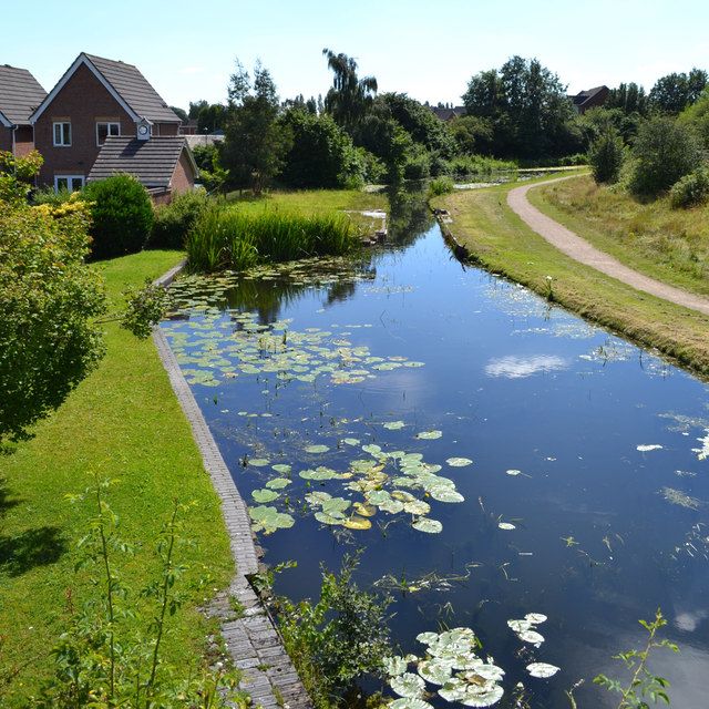
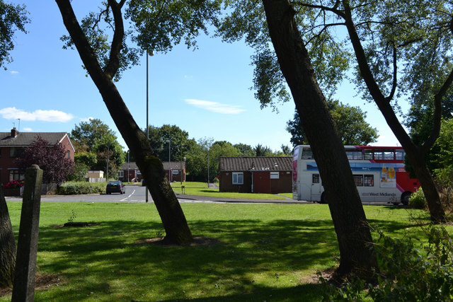
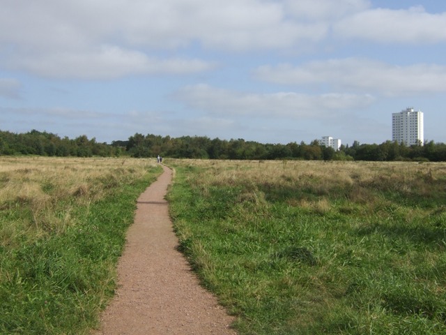
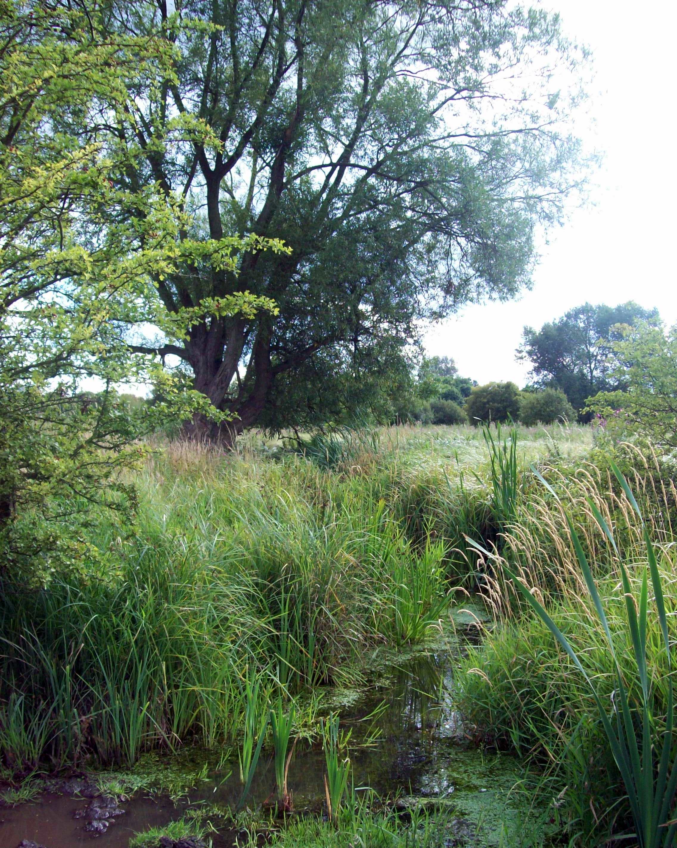
Walsall Wood Images

Images are sourced within 2km of 52.627232/-1.930088 or Grid Reference SK0403. Thanks to Geograph Open Source API. All images are credited.

Closed Shire Oak The view of the former Pub on the junction of the A461 and the A452 in Walsall.
Closed Shire Oak
The view of the former Pub on the junction of the A461 and the A452 in Walsall.
Humphries House, Brownhills The tower block on Lindon Drive has 17 storeys and was completed in 1967.
Humphries House, Brownhills
The tower block on Lindon Drive has 17 storeys and was completed in 1967.
Catshill Junction At Catshill Junction the Daw End Branch heads south from the Wyrley & Essington Canal main line through this bridge. It is not in fact a branch any more, continuing as the Rushall Canal to meet the Tame Valley Canal at Rushall Junction.
Catshill Junction
At Catshill Junction the Daw End Branch heads south from the Wyrley & Essington Canal main line through this bridge. It is not in fact a branch any more, continuing as the Rushall Canal to meet the Tame Valley Canal at Rushall Junction.
Aldridge Marina Narrowboats moored on the Daw End branch of the Wyrley & Essington Canal. The bridge in the background is Northywood Bridge.
Aldridge Marina
Narrowboats moored on the Daw End branch of the Wyrley & Essington Canal. The bridge in the background is Northywood Bridge.
The Anchor Inn, Brownhills Part of the Marstons portfolio, this canalside pub stands on Chester Road south-east of the town centre.
The Anchor Inn, Brownhills
Part of the Marstons portfolio, this canalside pub stands on Chester Road south-east of the town centre.
Shelfield Methodist Church
Field off Green Lane The line of the footpath across the field was unclear. The land is used by the adjacent stables.
Field off Green Lane
The line of the footpath across the field was unclear. The land is used by the adjacent stables.
Shelfield Cooperative Supermarket Formerly the Spring Cottage until 2012. The Co-op have converted a number of local public houses.
Shelfield Cooperative Supermarket
Formerly the Spring Cottage until 2012. The Co-op have converted a number of local public houses.
Swan Pool Swan Pool and the adjacent Swag Pool are the result of settlement due to coal mining.
Swan Pool
Swan Pool and the adjacent Swag Pool are the result of settlement due to coal mining.
Catshill Junction Bridge - Brownhills, Staffordshire A party of ramblers crosses Catshill Junction Bridge on this June day in 2013. The bridge crosses the Daw End Branch Canal immediately before Catshill Junction, where this canal at its northern end joins the Wyrley and Essington Canal, locally known for its winding course as the Curly Wyrley. The Daw End Branch Canal opened in 1803 to transport coal and limestone from local workings to the Black Country furnaces. It runs from Catshill Junction <a href="https://www.geograph.org.uk/gridref/SK0404">SK0404</a> to Longwood Junction <a href="https://www.geograph.org.uk/gridref/SP0499">SP0499</a> a distance of 5.25 miles. It being a contour canal, there are no locks along its length. The placename Daw End is locally pronounced as Doe End. The Wyrley and Essington Canal was constructed in the early 1790s from Wolverhampton, originally to Wyrley Bank and Essington collieries and with a later extension to Huddlesford Junction, near Lichfield. The engineer was William Pitt and being a contour canal there were no locks along its length. The Canal has been affected by subsidence from the very collieries it was built to serve and some parts are currently derelict. The signage reads 'CATSHILL JUNCTION BRIDGE'. Source: <span class="nowrap"><a title="www.canalrivertrust.org.uk" rel="nofollow ugc noopener" href="http://www.canalrivertrust.org.uk">Link</a><img style="margin-left:2px;" alt="External link" title="External link - shift click to open in new window" src="https://s1.geograph.org.uk/img/external.png" width="10" height="10"/></span>. Time taken 1.12 pm BST (British Summer Time).

<a href="https://www.geograph.org.uk/photo/5234879">SK0404 : Catshill Junction view - Brownhills, Staffordshire</a>
Catshill Junction Bridge - Brownhills, Staffordshire
A party of ramblers crosses Catshill Junction Bridge on this June day in 2013. The bridge crosses the Daw End Branch Canal immediately before Catshill Junction, where this canal at its northern end joins the Wyrley and Essington Canal, locally known for its winding course as the Curly Wyrley. The Daw End Branch Canal opened in 1803 to transport coal and limestone from local workings to the Black Country furnaces. It runs from Catshill Junction SK0404 to Longwood Junction SP0499 a distance of 5.25 miles. It being a contour canal, there are no locks along its length. The placename Daw End is locally pronounced as Doe End. The Wyrley and Essington Canal was constructed in the early 1790s from Wolverhampton, originally to Wyrley Bank and Essington collieries and with a later extension to Huddlesford Junction, near Lichfield. The engineer was William Pitt and being a contour canal there were no locks along its length. The Canal has been affected by subsidence from the very collieries it was built to serve and some parts are currently derelict. The signage reads 'CATSHILL JUNCTION BRIDGE'. Source: LinkExternal link. Time taken 1.12 pm BST (British Summer Time). SK0404 : Catshill Junction view - Brownhills, Staffordshire
Catshill Junction view - Brownhills, Staffordshire A view of Catshill Junction, looking north-north-east from Catshill Junction Bridge, where the Daw End Branch Canal at its northern end joins the Wyrley and Essington Canal, locally known for its winding course as the Curly Wyrley. The Daw End Branch Canal opened in 1803 to transport coal and limestone from local workings to the Black Country furnaces. It runs from Catshill Junction <a href="https://www.geograph.org.uk/gridref/SK0404">SK0404</a> to Longwood Junction <a href="https://www.geograph.org.uk/gridref/SP0499">SP0499</a> a distance of 5.25 miles. It being a contour canal, there are no locks along its length. The placename Daw End is locally pronounced as Doe End. The Wyrley and Essington Canal was constructed in the early 1790s from Wolverhampton, originally to Wyrley Bank and Essington collieries and with a later extension to Huddlesford Junction, near Lichfield. The engineer was William Pitt and being a contour canal there were no locks along its length. The Canal has been affected by subsidence from the very collieries it was built to serve and some parts are currently derelict. Source: <span class="nowrap"><a title="www.canalrivertrust.org.uk" rel="nofollow ugc noopener" href="http://www.canalrivertrust.org.uk">Link</a><img style="margin-left:2px;" alt="External link" title="External link - shift click to open in new window" src="https://s1.geograph.org.uk/img/external.png" width="10" height="10"/></span>. Time taken 1.12 pm BST (British Summer Time).

<a href="https://www.geograph.org.uk/photo/5234872">SK0404 : Catshill Junction Bridge - Brownhills, Staffordshire</a>
Catshill Junction view - Brownhills, Staffordshire
A view of Catshill Junction, looking north-north-east from Catshill Junction Bridge, where the Daw End Branch Canal at its northern end joins the Wyrley and Essington Canal, locally known for its winding course as the Curly Wyrley. The Daw End Branch Canal opened in 1803 to transport coal and limestone from local workings to the Black Country furnaces. It runs from Catshill Junction SK0404 to Longwood Junction SP0499 a distance of 5.25 miles. It being a contour canal, there are no locks along its length. The placename Daw End is locally pronounced as Doe End. The Wyrley and Essington Canal was constructed in the early 1790s from Wolverhampton, originally to Wyrley Bank and Essington collieries and with a later extension to Huddlesford Junction, near Lichfield. The engineer was William Pitt and being a contour canal there were no locks along its length. The Canal has been affected by subsidence from the very collieries it was built to serve and some parts are currently derelict. Source: LinkExternal link. Time taken 1.12 pm BST (British Summer Time). SK0404 : Catshill Junction Bridge - Brownhills, Staffordshire
Disused market site, Silver Street, Brownhills I was told that a thriving street market had died since a large Tesco supermarket opened, some distance behind the camera. The building on the left is Brownhills Methodist Church. Compare Geoff Pick's photo of this spot in 2008: <a href="https://www.geograph.org.uk/photo/881141">SK0405 : Brownhills Market</a>.
Disused market site, Silver Street, Brownhills
I was told that a thriving street market had died since a large Tesco supermarket opened, some distance behind the camera. The building on the left is Brownhills Methodist Church. Compare Geoff Pick's photo of this spot in 2008: SK0405 : Brownhills Market.
Riding on Clayhanger Common, Brownhills They looked like father and son. A local man told me that this is reclaimed coal-mining land.
Riding on Clayhanger Common, Brownhills
They looked like father and son. A local man told me that this is reclaimed coal-mining land.
Northywood Bridge - Walsall Wood, West Midlands A view of Northywood Bridge, built in 1883 over the Daw End Branch Canal. The canal opened in 1803 to transport coal and limestone from local workings to the Black Country furnaces. It runs from Catshill Junction <a href="https://www.geograph.org.uk/gridref/SK0404">SK0404</a> to Longwood Junction <a href="https://www.geograph.org.uk/gridref/SP0499">SP0499</a> a distance of 5.25 miles. It being a contour canal, there are no locks along its length. The placename Daw End is locally pronounced as Doe End. The signage reads '1883' and 'NORTHYWOOD BRIDGE'.
Time taken 11.40 am BST (British Summer Time).
<a href="https://www.geograph.org.uk/photo/902757">SK0402 : Northywood Bridge - Daw End Canal</a> <a href="https://www.geograph.org.uk/photo/2606675">SK0402 : Northywood Bridge</a>
Northywood Bridge - Walsall Wood, West Midlands
A view of Northywood Bridge, built in 1883 over the Daw End Branch Canal. The canal opened in 1803 to transport coal and limestone from local workings to the Black Country furnaces. It runs from Catshill Junction SK0404 to Longwood Junction SP0499 a distance of 5.25 miles. It being a contour canal, there are no locks along its length. The placename Daw End is locally pronounced as Doe End. The signage reads '1883' and 'NORTHYWOOD BRIDGE'. Time taken 11.40 am BST (British Summer Time). SK0402 : Northywood Bridge - Daw End Canal SK0402 : Northywood Bridge
Black Cock Bridge - Walsall Wood, West Midlands A view of Black Cock Bridge over the Daw End Branch Canal near Walsall Wood. The canal opened in 1803 to transport coal and limestone from local workings to the Black Country furnaces. It runs from Catshill Junction <a href="https://www.geograph.org.uk/gridref/SK0404">SK0404</a> to Longwood Junction <a href="https://www.geograph.org.uk/gridref/SP0499">SP0499</a> a distance of 5.25 miles. It being a contour canal, there are no locks along its length. The placename Daw End is locally pronounced as Doe End. The signage reads 'BLACK COCK BRIDGE'.
Time taken 12.53 pm BST (British Summer Time). <a href="https://www.geograph.org.uk/photo/906392">SK0403 : Blackcock Bridge - Daw End Canal</a>
Black Cock Bridge - Walsall Wood, West Midlands
A view of Black Cock Bridge over the Daw End Branch Canal near Walsall Wood. The canal opened in 1803 to transport coal and limestone from local workings to the Black Country furnaces. It runs from Catshill Junction SK0404 to Longwood Junction SP0499 a distance of 5.25 miles. It being a contour canal, there are no locks along its length. The placename Daw End is locally pronounced as Doe End. The signage reads 'BLACK COCK BRIDGE'. Time taken 12.53 pm BST (British Summer Time). SK0403 : Blackcock Bridge - Daw End Canal
Southeast on the Wyrley and Essington Canal, Brownhills Compare Geoff Pick's <a href="https://www.geograph.org.uk/photo/881148">SK0405 : Wyrley and Essington Canal, Brownhills</a> from nine years ago in 2008.
Southeast on the Wyrley and Essington Canal, Brownhills
Compare Geoff Pick's SK0405 : Wyrley and Essington Canal, Brownhills from nine years ago in 2008.
Start of the Daw End Branch of the Wyrley and Essington Canal, Brownhills The Wyrley and Essington Canal, a constituent part of the Birmingham Canal Navigations (BCN) network, was completed in 1797 and originally connected Wolverhampton with the Coventry Canal at Huddlesford Junction via Lichfield.  It was built to carry coal from the Cannock collieries and had several branches. The eastern section of the route was abandoned in 1954 (although efforts are being made to restore it), but elsewhere commercial traffic continued well into the 1960s.  What remains today is some 16.5 lock-free miles that meander from Horseley Field Junction on the BCN main line to a dead end at Anglesey Basin; the typical view from the water is of suburban back gardens, although there are some rural stretches.  It is not a route that appeals greatly to holidaymakers so boats are generally few and far between.
Start of the Daw End Branch of the Wyrley and Essington Canal, Brownhills
The Wyrley and Essington Canal, a constituent part of the Birmingham Canal Navigations (BCN) network, was completed in 1797 and originally connected Wolverhampton with the Coventry Canal at Huddlesford Junction via Lichfield. It was built to carry coal from the Cannock collieries and had several branches. The eastern section of the route was abandoned in 1954 (although efforts are being made to restore it), but elsewhere commercial traffic continued well into the 1960s. What remains today is some 16.5 lock-free miles that meander from Horseley Field Junction on the BCN main line to a dead end at Anglesey Basin; the typical view from the water is of suburban back gardens, although there are some rural stretches. It is not a route that appeals greatly to holidaymakers so boats are generally few and far between.
Just missed the bus, Lindon Road, Brownhills
Show me another place!

Walsall Wood is located at Grid Ref: SK0403 (Lat: 52.627232, Lng: -1.930088)

Unitary Authority: Walsall

Police Authority: West Midlands

What 3 Words

///weeknight.cheese.strong. Near Brownhills, West Midlands

Nearby Locations

Walsall Wood

Related Wikis

Walsall Wood

Walsall Wood is a suburb split between both Brownhills and Aldridge in the Metropolitan Borough of Walsall, West Midlands, England. == History == In the...

Walsall Wood railway station

Walsall Wood railway station was a station on the Midland Railway in England. It was opened in 1884, closed in March 1930 for passenger use. The line...

Clayhanger, West Midlands

Clayhanger is a village in the Metropolitan Borough of Walsall in the West Midlands, England. The village is situated between Pelsall, Walsall Wood and...

Walsall Wood F.C.

Walsall Wood Football Club is an association football club based in Walsall Wood, near Walsall in the West Midlands, England. The club's first team compete...

Jockey Fields

Jockey fields (grid reference SK041030) is an 18.05 hectares (44.6 acres) biological site of Special Scientific Interest at Walsall Wood, in the West Midlands...

Shire Oak Academy

The Shire Oak Academy (formerly Shire Oak School and Shire Oak Grammar School) is a coeducational academy school (age range 11–18) in Walsall Wood, West...

Castle Old Fort

Castle Old Fort is a small Iron Age hill fort in Stonnall, in the Metropolitan borough of Walsall, West Midlands, England. Its interior is now occupied...

Ormiston Shelfield Community Academy

Ormiston Shelfield Community Academy is a secondary school with academy status located in the Metropolitan Borough of Walsall, West Midlands, England....

Nearby Amenities

Located within 500m of 52.627232,-1.930088
Walsall Wood
Place: suburb
Source: NPE;OS_OpenData_StreetView
Wikidata: Q1026645
Lat/Long: 52.629207/-1.9300274
Disused Shop: yes
Lat/Long: 52.6263355/-1.9248279
Bus Stop
Salters Rd / Laburnum Rd
NaPTANAreaCode: 43000649301
Bus: yes
Location: Salters Road;Leburnum Road
Naptan AtcoCode: 43000649301
Naptan Bearing: S
Naptan BusStopType: MKD
Naptan CommonName: Laburnum Rd
Naptan Indicator: opp
Naptan NaptanCode: nwmjamgj
Naptan PlusbusZoneRef: BHAMNWS
Naptan Status: ACT
Naptan StopType: BCT
Naptan Street: SALTERS RD
Naptan Towards: Aldridge
Public Transport: platform
Route Ref: 35;936;937;937A
Shelter: yes
Shelter Ref: 201737
Source: WMCA
Towards: Aldridge
Lat/Long: 52.6270303/-1.9241609
Fast Food
KFC
Addr Postcode: WS9 9NP
Addr Street: Lichfield Road
Alt Name: Kentucky Fried Chicken
Brand: KFC
Brand Wikidata: Q524757
Brand Wikipedia: en:KFC
Contact Website: https://www.kfc.co.uk/kfc-near-me/walsall-wood-lichfield-road
Cuisine: chicken
Drive Through: yes
Fhrs Id: 194057
Operator: KFC
Takeaway: yes
Lat/Long: 52.6304698/-1.9266372
Pub
Drunken Duck
Addr Housenumber: 55
Addr Postcode: WS9 9LR
Addr Street: High Street
Fhrs Id: 1316768
Source Addr: FHRS Open Data
Lat/Long: 52.6257429/-1.9329487
Pub
Boatmans Rest
Lat/Long: 52.6264017/-1.9323219
Post Office
Walsall Wood Post Office
Lat/Long: 52.6258878/-1.9326527
Post Box
Postal Code: WS9
Ref: WS9 167
Lat/Long: 52.6259228/-1.9326959
Bus Stop
High St / St Johns Close
Asset Ref: 0644201
Bus: yes
Location: High Street;St Johns Close
Naptan AtcoCode: 43000644201
Naptan Bearing: SW
Naptan BusStopType: MKD
Naptan CommonName: St Johns Close
Naptan Indicator: opp
Naptan NaptanCode: nwmjajga
Naptan PlusbusZoneRef: BHAMNWS
Naptan Status: ACT
Naptan StopType: BCT
Naptan Street: HIGH ST
Naptan Towards: Walsall
Public Transport: platform
Route Ref: 10;10A;24;X35
Shelter: no
Source: WMCA
Towards: Walsall
Lat/Long: 52.6258279/-1.9328461
Crossing
Crossing: traffic_signals
Crossing Ref: pelican
Lat/Long: 52.6267506/-1.9314882
Post Box
Collection Times: Mo-Fr 09:00, Sa 07:00
Postal Code: WS9
Ref: WS9 90
Royal Cypher: EIIR
Royal Cypher Wikidata: Q33102113
Lat/Long: 52.6243268/-1.9261048
Pub
The Royal Exchange
Addr Housenumber: 27
Addr Postcode: WS9 9NP
Addr Street: Lichfield Road
Fhrs Id: 854871
Lat/Long: 52.6292769/-1.9281089
Crossing
Crossing: traffic_signals
Crossing Ref: pelican
Lat/Long: 52.6302729/-1.9261305
Bus Stop
Lichfield Rd / Streets Corner
NaPTANAreaCode: 43000648803
Asset Ref: 201706
Bus: yes
Location: Lichfield Road;Streets Corner
Naptan AtcoCode: 43000648803
Naptan Bearing: SW
Naptan BusStopType: MKD
Naptan CommonName: Sts Corner
Naptan Indicator: adj
Naptan NaptanCode: nwmjamdp
Naptan PlusbusZoneRef: BHAMNWS
Naptan Status: ACT
Naptan StopType: BCT
Naptan Street: LICHFIELD RD
Naptan Towards: Walsall
Public Transport: platform
Route Ref: 10;X35
Shelter: yes
Shelter Ref: 201706
Source: WMCA
Towards: Walsall
Lat/Long: 52.6305008/-1.9255587
Bus Stop
Lichfield Rd / Sts Corner
NaPTANAreaCode: 43000648804
Asset Ref: 201729
Bus: yes
Location: Lichfield Road;Street Corner
Naptan AtcoCode: 43000648804
Naptan Bearing: NE
Naptan BusStopType: MKD
Naptan CommonName: Sts Corner
Naptan Indicator: opp
Naptan NaptanCode: nwmjamdt
Naptan PlusbusZoneRef: BHAMNWS
Naptan Status: ACT
Naptan StopType: BCT
Naptan Street: LICHFIELD RD
Naptan Towards: Brownhills, Lichfield
Public Transport: platform
Route Ref: 10;X35
Shelter: yes
Shelter Ref: 201729
Source: WMCA
Towards: Lichfield;Brownhills
Lat/Long: 52.6299757/-1.9267431
Medical Centre
Healthcare: centre
Lat/Long: 52.6306997/-1.9257221
Note: Footpaths to Kendal Court, Chesterfield Court, Radnor Court and Wyre Close need adding
Lat/Long: 52.6305171/-1.9337095
Post Box
Postal Code: WS9
Ref: WS9 180
Lat/Long: 52.6305829/-1.9327162
Bus Stop
Coppice Rd / Boundary Rd
Asset Ref: 0640703
Bus: yes
Location: Coppice Road;Boundary Lane
Naptan AtcoCode: 43000640703
Naptan Bearing: S
Naptan BusStopType: CUS
Naptan CommonName: Boundary Rd
Naptan Indicator: adj
Naptan NaptanCode: nwmjagtj
Naptan PlusbusZoneRef: BHAMNWS
Naptan Status: ACT
Naptan StopType: BCT
Naptan Street: COPPICE RD
Naptan Towards: Walsall
Public Transport: platform
Route Ref: 10A
Shelter: no
Source: WMCA
Towards: Brownhills
Lat/Long: 52.6277099/-1.93108
Bus Stop
Salters Rd / Streets Corner
NaPTANAreaCode: 43000642502
Asset Ref: 201704
Bus: yes
Location: Salters Road;Street Corner
Naptan AtcoCode: 43000642502
Naptan Bearing: NW
Naptan BusStopType: MKD
Naptan CommonName: Sts Corner
Naptan Indicator: opp
Naptan NaptanCode: nwmjajda
Naptan PlusbusZoneRef: BHAMNWS
Naptan Status: ACT
Naptan StopType: BCT
Naptan Street: SALTERS RD
Naptan Towards: Brownhills
Public Transport: platform
Route Ref: 24;35;936;937;937A
Shelter: yes
Shelter Ref: 201704
Source: WMCA
Towards: Brownhills
Lat/Long: 52.6303196/-1.9247756
Bus Stop
High St / St Johns Close
NaPTANAreaCode: 43000644202
Asset Ref: 201734
Bus: yes
Location: High Street;St Johns Close
Naptan AtcoCode: 43000644202
Naptan Bearing: NE
Naptan BusStopType: MKD
Naptan CommonName: St Johns Close
Naptan Indicator: adj
Naptan NaptanCode: nwmjajgd
Naptan PlusbusZoneRef: BHAMNWS
Naptan Status: ACT
Naptan StopType: BCT
Naptan Street: HIGH ST
Naptan Towards: Brownhills
Public Transport: platform
Route Ref: 10;10A;X35
Shelter: yes
Shelter Ref: 201734
Source: WMCA
Towards: Lichfield;Brownhills
Lat/Long: 52.6253344/-1.9338296
Bus Stop
High St / St Johns Church
NaPTANAreaCode: 43000644302
Bus: yes
Location: High Street;St Johns Close
Naptan AtcoCode: 43000644302
Naptan Bearing: SW
Naptan BusStopType: MKD
Naptan CommonName: St Johns Church
Naptan Indicator: opp
Naptan NaptanCode: nwmjajgj
Naptan PlusbusZoneRef: BHAMNWS
Naptan Status: ACT
Naptan StopType: BCT
Naptan Street: HIGH ST
Naptan Towards: Walsall
Public Transport: platform
Route Ref: 10;10A;24;X35
Shelter: yes
Shelter Ref: 201707
Source: WMCA
Towards: Walsall
Lat/Long: 52.6268785/-1.9312667
Bus Stop
Lichfield Rd / The Royal Exchange
Bus: yes
Naptan AtcoCode: 43000644402
Naptan Bearing: SW
Naptan BusStopType: MKD
Naptan CommonName: The Royal Exchange
Naptan NaptanCode: nwmtatdm
Naptan PlusbusZoneRef: BHAMNWS
Naptan Status: ACT
Naptan StopType: BCT
Naptan Street: LICHFIELD RD
Naptan Towards: Walsall
Naptan Verified: no
Public Transport: platform
Route Ref: 10;X35
Source: WMCA
Wheelchair: limited
Lat/Long: 52.6292674/-1.9275455
Bus Stop
Coppice Rd / Wyre Close
Bus: yes
Naptan AtcoCode: 43000644601
Naptan Bearing: N
Naptan BusStopType: MKD
Naptan CommonName: Wyre Close
Naptan Indicator: adj
Naptan NaptanCode: nwmjajgm
Naptan PlusbusZoneRef: BHAMNWS
Naptan Status: ACT
Naptan StopType: BCT
Naptan Street: COPPICE RD
Naptan Towards: Brownhills
Naptan Verified: no
Public Transport: platform
Route Ref: 10A
Source: WMCA
Lat/Long: 52.6301962/-1.9323606
Coppice Rd / Wyre Close
Naptan AtcoCode: 43000644602
Naptan Bearing: S
Naptan BusStopType: CUS
Naptan CommonName: Wyre Close
Naptan Indicator: opp
Naptan NaptanCode: nwmjajgp
Naptan PlusbusZoneRef: BHAMNWS
Naptan Status: ACT
Naptan StopType: BCT
Naptan Street: COPPICE RD
Naptan Towards: Walsall
Naptan Verified: no
Route Ref: 10A
Source: WMCA
Lat/Long: 52.6302231/-1.9322571
Bus Stop
Salters Rd / Laburnum Rd
NaPTANAreaCode: 43000649302
Asset Ref: 2017038
Bus: yes
Location: Salters Road;Laburnham Road
Naptan AtcoCode: 43000649302
Naptan Bearing: N
Naptan BusStopType: MKD
Naptan CommonName: Laburnum Rd
Naptan Indicator: adj
Naptan NaptanCode: nwmjamgm
Naptan PlusbusZoneRef: BHAMNWS
Naptan Status: ACT
Naptan StopType: BCT
Naptan Street: SALTERS RD
Naptan Towards: Brownhills
Public Transport: platform
Route Ref: 35;936;937;937A
Shelter: yes
Shelter Ref: 201703
Source: WMCA
Towards: Brownhills
Lat/Long: 52.6274355/-1.924134
Bus Stop
Salters Rd / Castle Rd
NaPTANAreaCode: 43006400002
Asset Ref: 201735
Bus: yes
Location: Salters Road;Castle Road
Naptan AtcoCode: 43006400002
Naptan Bearing: N
Naptan BusStopType: MKD
Naptan CommonName: Castle Rd
Naptan Indicator: after
Naptan NaptanCode: nwmpmdmg
Naptan PlusbusZoneRef: BHAMNWS
Naptan Status: ACT
Naptan StopType: BCT
Naptan Street: SALTERS RD
Naptan Towards: Brownhills
Public Transport: platform
Route Ref: 24;35;936;937;937A
Shelter: yes
Shelter Ref: 201735
Source: WMCA
Towards: Brownhills
Lat/Long: 52.6243257/-1.9251736
Bus Stop
Lichfield Rd / High St
NaPTANAreaCode: 43006402001
Bus: yes
Naptan AtcoCode: 43006402001
Naptan Bearing: NE
Naptan BusStopType: MKD
Naptan CommonName: High St
Naptan Indicator: after
Naptan NaptanCode: nwmpmdmj
Naptan PlusbusZoneRef: BHAMNWS
Naptan Status: ACT
Naptan StopType: BCT
Naptan Street: LICHFIELD RD
Naptan Towards: Brownhills, Lichfield
Naptan Verified: no
Public Transport: platform
Route Ref: 10;X35
Shelter: yes
Shelter Ref: 201708
Source: WMCA
Lat/Long: 52.6276329/-1.9303405
Turning Circle
Source: bing
Lat/Long: 52.6256106/-1.9268275
Speed Camera
Lat/Long: 52.6285168/-1.9288235
Speed Camera
Lat/Long: 52.6297087/-1.9270249
Disused Shop: convenience
Fixme: What is here now?
Old Name: Tesco Metro
Lat/Long: 52.630489/-1.9253061
Bus Stop
Coppice Rd / Boundary Rd
Bus: yes
Naptan AtcoCode: 43000640704
Naptan Bearing: N
Naptan BusStopType: MKD
Naptan CommonName: Boundary Rd
Naptan Indicator: adj
Naptan NaptanCode: nwmwgtmw
Naptan Status: ACT
Naptan StopType: BCT
Naptan Street: COPPICE RD
Naptan Towards: Brownhills
Public Transport: platform
Route Ref: 10A
Source: WMCA
Lat/Long: 52.6280739/-1.9312915
Barrier: bollard
Lat/Long: 52.623199/-1.9271807
Generator Method: photovoltaic
Generator Output Electricity: yes
Generator Source: solar
Generator Type: solar_photovoltaic_panel
Location: roof
Power: generator
Lat/Long: 52.6287651/-1.9266254
Generator Method: photovoltaic
Generator Output Electricity: yes
Generator Source: solar
Generator Type: solar_photovoltaic_panel
Location: roof
Power: generator
Lat/Long: 52.623529/-1.9338754
Generator Method: photovoltaic
Generator Output Electricity: yes
Generator Source: solar
Generator Type: solar_photovoltaic_panel
Location: roof
Power: generator
Lat/Long: 52.6244441/-1.9267327
Generator Method: photovoltaic
Generator Output Electricity: yes
Generator Source: solar
Generator Type: solar_photovoltaic_panel
Location: roof
Power: generator
Lat/Long: 52.6244815/-1.926797
Generator Method: photovoltaic
Generator Output Electricity: yes
Generator Source: solar
Generator Type: solar_photovoltaic_panel
Location: roof
Power: generator
Lat/Long: 52.6235518/-1.9268346
Crossing
Lat/Long: 52.6255353/-1.9337172
Crossing
Crossing: traffic_signals
Lat/Long: 52.6302058/-1.9245576
The data included in this document is from www.openstreetmap.org. The data is made available under ODbL.

Have you been to Walsall Wood?

Leave your review of Walsall Wood below (or comments, questions and feedback).