Walsall
Settlement in Staffordshire
England
Walsall
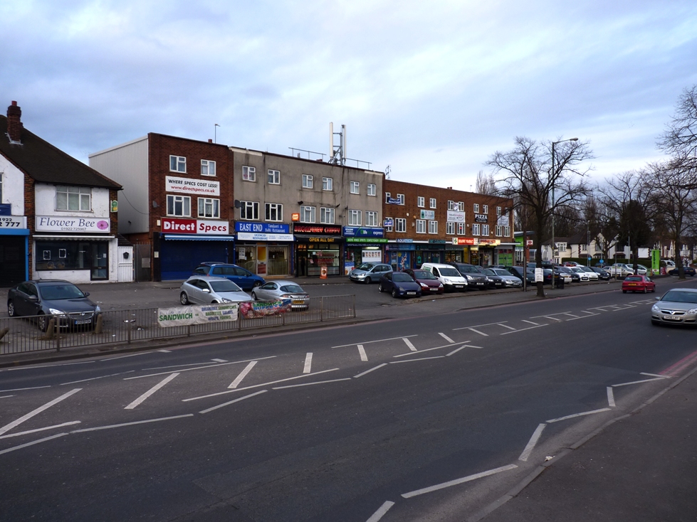
Walsall is a town located in the West Midlands county of Staffordshire, England. Situated approximately 8 miles northwest of Birmingham, it lies in the heart of the Black Country, an area historically renowned for its coal mining and manufacturing industries. With a population of around 280,000 people, Walsall is the administrative center of the Metropolitan Borough of Walsall.
The town boasts a rich industrial heritage, which is evident in its architecture and landmarks. The Walsall Leather Museum showcases the town's history as a major center for leather production, while the New Art Gallery Walsall exhibits contemporary art and hosts various cultural events. The Arboretum, a beautiful Victorian park, provides a green oasis for residents and visitors alike.
Walsall is well-connected by road and rail, with the M6 motorway passing close by and several train stations serving the area. The town's central location makes it easily accessible to other major cities in the region, such as Birmingham, Wolverhampton, and Coventry.
Walsall has a diverse economy, with a mix of industries including manufacturing, retail, and services. It is also home to a number of educational institutions, including the University of Wolverhampton's Walsall Campus and Walsall College.
The town offers a range of amenities and leisure activities, with shopping centers, pubs, and restaurants catering to different tastes. Sporting enthusiasts can enjoy football at the Bescot Stadium, home to Walsall FC, or horse racing at the popular Walsall Racecourse.
Overall, Walsall is a vibrant town with a proud industrial heritage, offering a mix of cultural attractions, convenient transportation links, and a diverse economy.
If you have any feedback on the listing, please let us know in the comments section below.
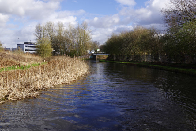
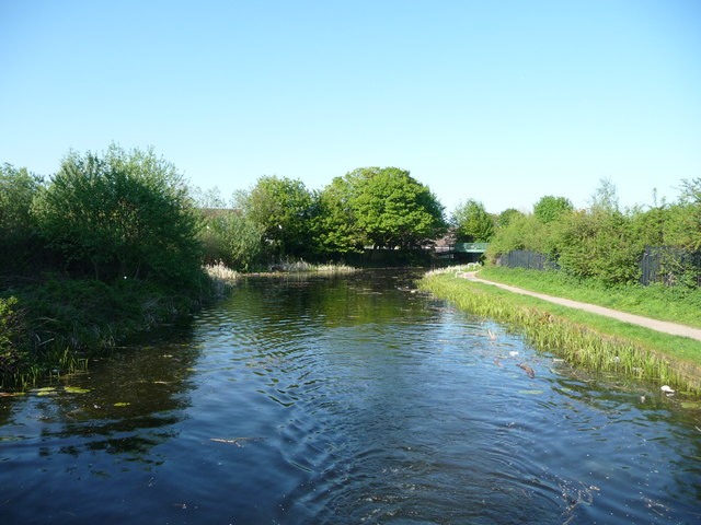
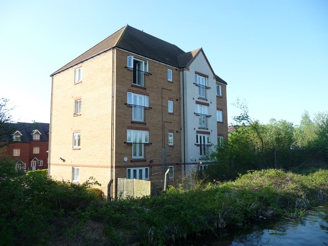
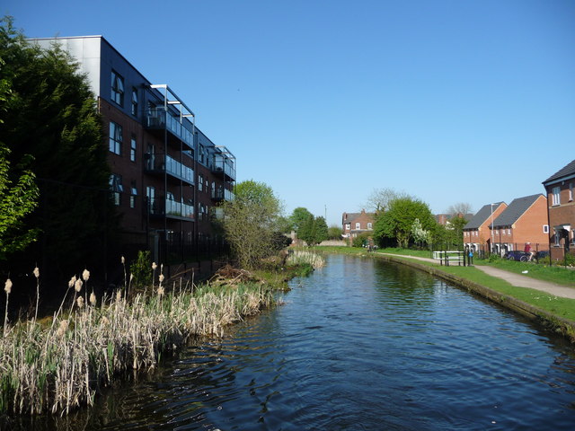
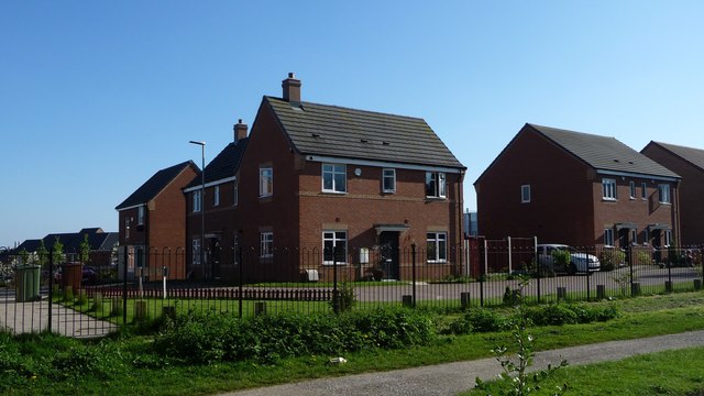
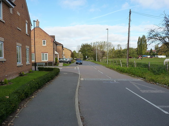
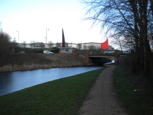
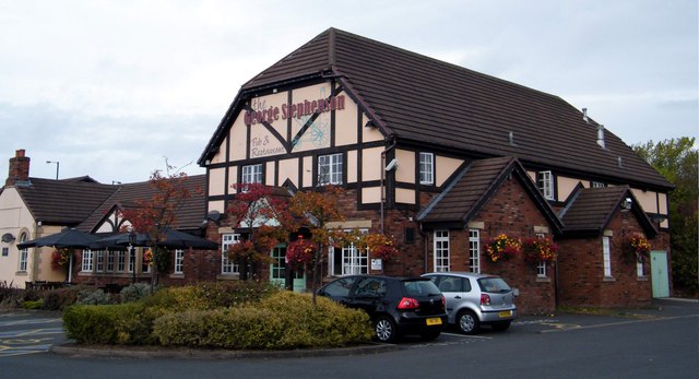
Walsall Images
Images are sourced within 2km of 52.586221/-1.9803411 or Grid Reference SP0198. Thanks to Geograph Open Source API. All images are credited.
Walsall is located at Grid Ref: SP0198 (Lat: 52.586221, Lng: -1.9803411)
Unitary Authority: Walsall
Police Authority: West Midlands
What 3 Words
///losses.sake.wage. Near Walsall, West Midlands
Nearby Locations
Related Wikis
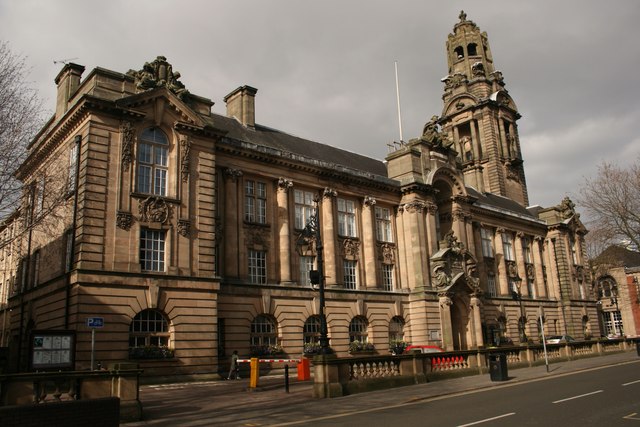
Walsall Council House
Walsall Council House is a municipal building in Lichfield Street in Walsall, West Midlands, England. It is a Grade II listed building. == History == The...

Walsall Town Hall
Walsall Town Hall is located at Leicester Street in Walsall, West Midlands, England. The building, which opened in 1903, is used for a variety of functions...
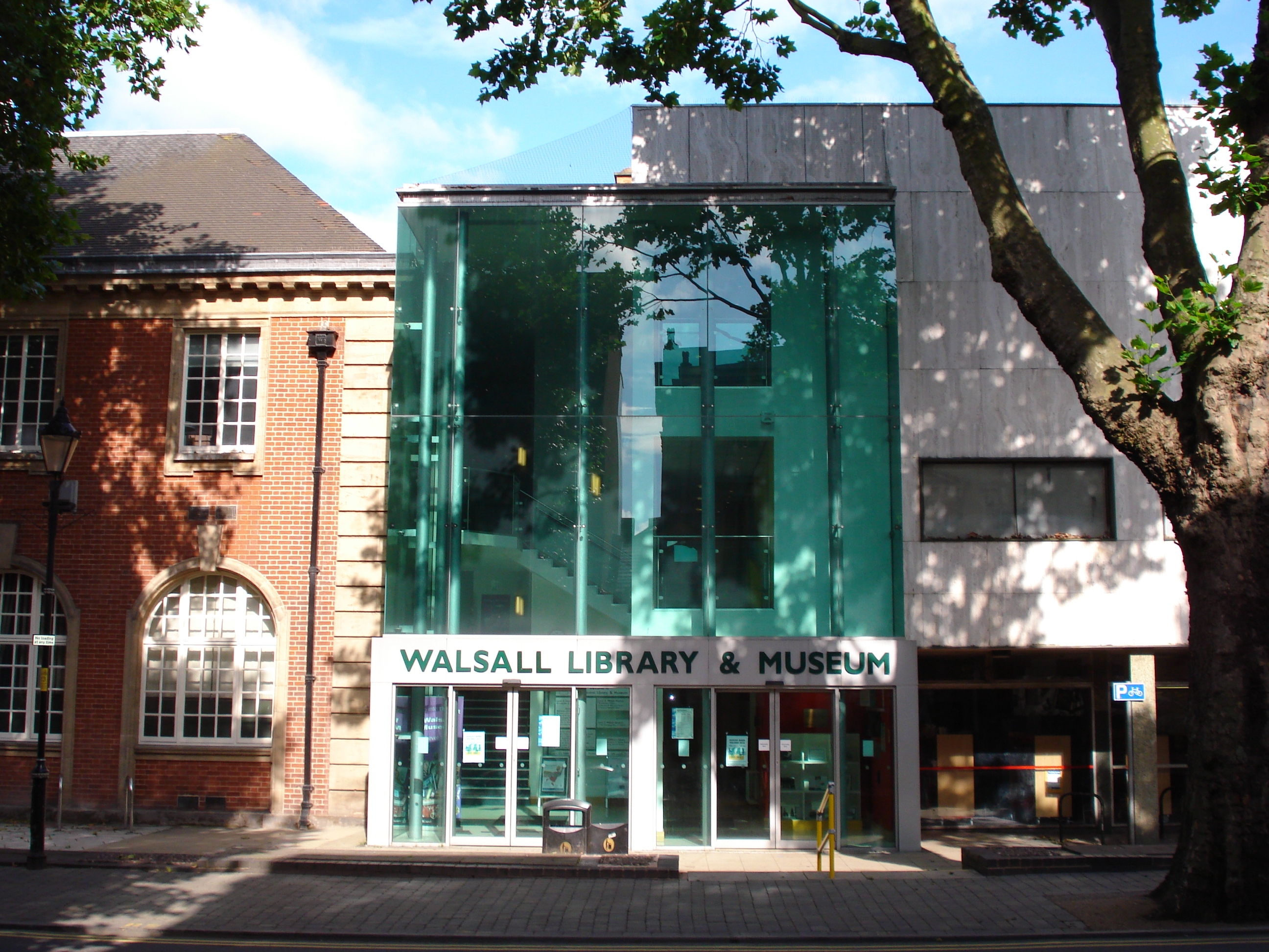
Walsall Central Library
Walsall Central Library is a public library situated in the town centre of Walsall in the West Midlands, in the United Kingdom. It is part of 7 branch...

St Paul's bus station
St Paul's Bus Station is one of two bus stations located in the town of Walsall in the West Midlands, England. The station is managed by Transport for...

Whittimere Street drill hall, Walsall
The Whittimere Street drill hall is a former military installation in Walsall, West Midlands. == History == The building was designed as the headquarters...

Walsall College
Walsall College is a further education college in Walsall, West Midlands, England. The college is the largest provider of qualifications for 14- to 19...

Victorian Arcade, Walsall
Victorian Arcade, in Walsall, West Midlands, is a shopping arcade in the town centre, built in the 1890s. It is a Grade II listed building; == History... ==
A4148 road
The A4148 is an A-class road in the town of Walsall, West Midlands, England. It serves as the town's ring road, as it encircles the town centre, and no...
Nearby Amenities
Located within 500m of 52.586221,-1.9803411Have you been to Walsall?
Leave your review of Walsall below (or comments, questions and feedback).