Wallgate
Settlement in Lancashire
England
Wallgate
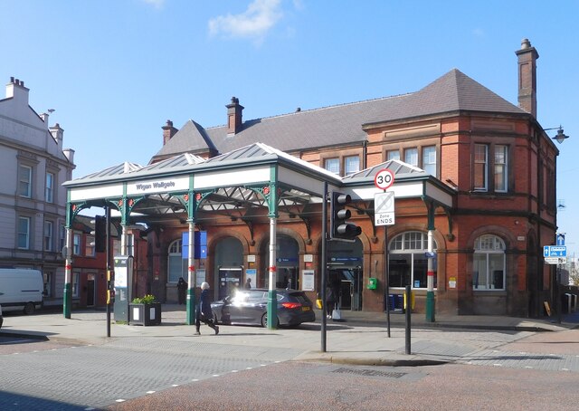
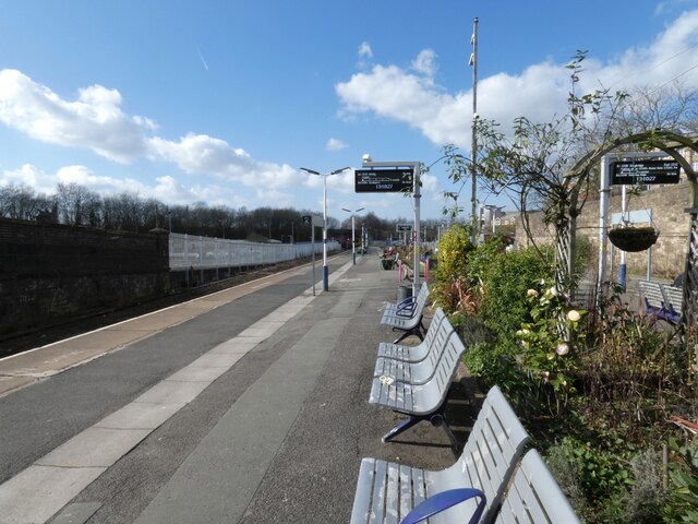
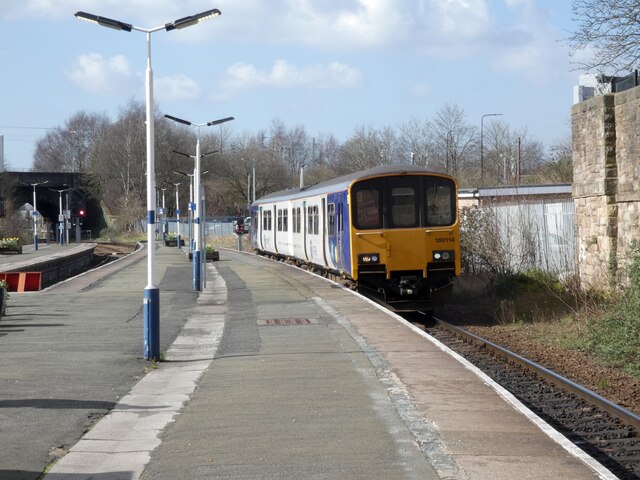
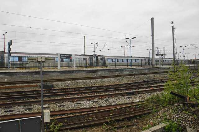
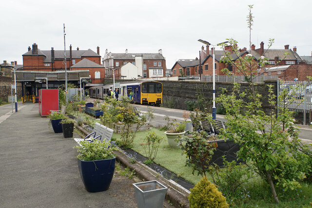
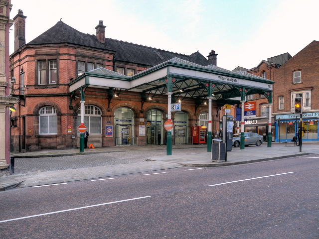
Wallgate is a district located in Wigan, a town in the county of Lancashire, England. It is situated in the southwestern part of the town, just a short distance away from the town center. Wallgate is primarily known for its transportation links, as it is home to Wallgate railway station, which serves as an important hub for both local and regional train services.
The area of Wallgate features a mix of commercial and residential properties. The main street, also named Wallgate, is lined with various shops, restaurants, and businesses, providing a bustling atmosphere. The retail offerings range from local independent stores to well-known chain retailers, catering to the needs of both residents and visitors.
In addition to its commercial significance, Wallgate is also home to several historic buildings, including the Grade II listed Wigan Parish Church. This impressive structure, built in the 14th century, stands as a testament to the area's rich history and architectural heritage.
Residents and visitors alike benefit from Wallgate's convenient location, as it provides easy access to other parts of Wigan and surrounding areas. The nearby railway station offers frequent services to Manchester, Liverpool, and other major cities in the region, making it a popular choice for commuters.
Overall, Wallgate in Lancashire offers a vibrant mix of commerce, history, and transportation, making it a notable district within the town of Wigan.
If you have any feedback on the listing, please let us know in the comments section below.
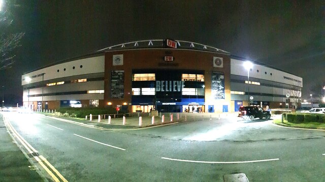
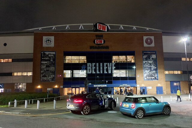
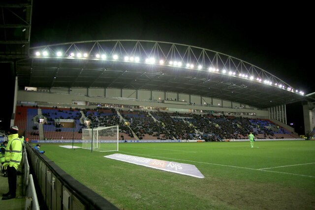
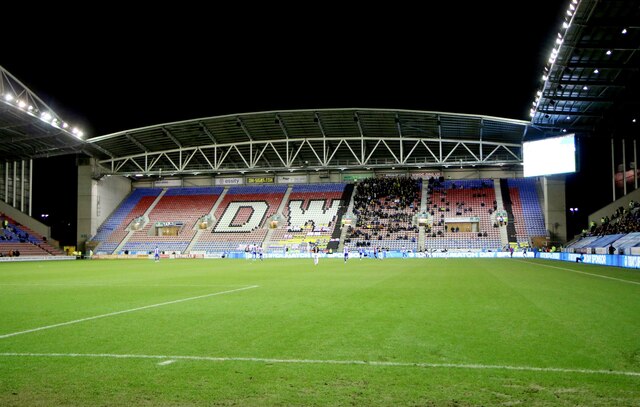
Wallgate Images
Images are sourced within 2km of 53.54352/-2.639824 or Grid Reference SD5705. Thanks to Geograph Open Source API. All images are credited.
Wallgate is located at Grid Ref: SD5705 (Lat: 53.54352, Lng: -2.639824)
Unitary Authority: Wigan
Police Authority: Greater Manchester
What 3 Words
///vibrate.grows.dads. Near Wigan, Manchester
Related Wikis
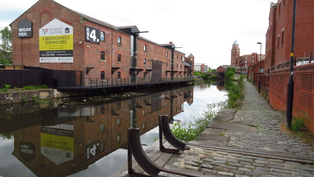
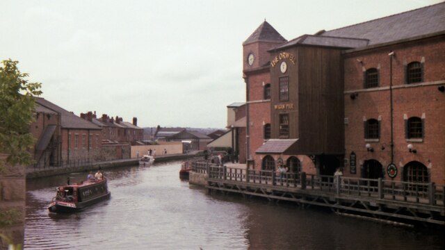
Wigan Pier
Wigan Pier is an area around the Leeds and Liverpool Canal in Wigan, Greater Manchester, England, south-west of the town centre. The name has humorous...

Trencherfield Mill
Trencherfield Mill is a cotton spinning mill standing next to the Leeds and Liverpool Canal in Wigan, Greater Manchester, England. It was built in 1907...

Wigan (UK Parliament constituency)
Wigan is a constituency in Greater Manchester, represented in the House of Commons of the UK Parliament since 2010 by Lisa Nandy of the Labour Party, who...
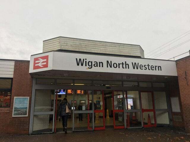
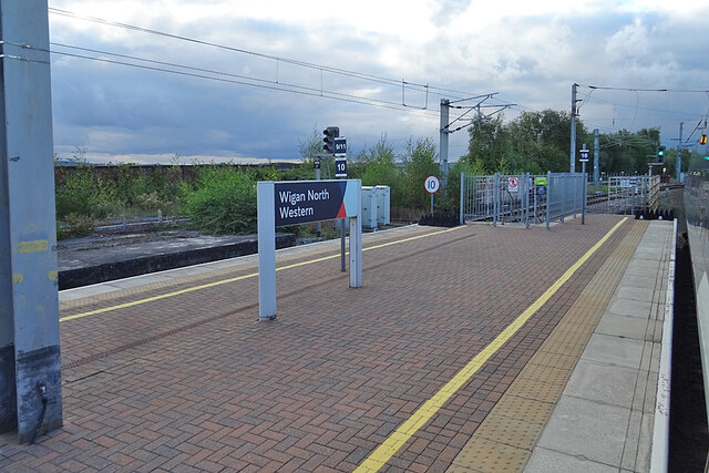
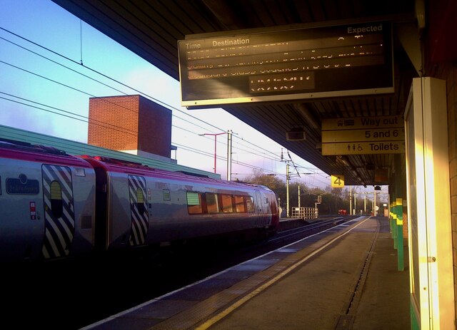
Wigan Wallgate railway station
Wigan Wallgate railway station is one of two railway stations serving the town centre of Wigan in Greater Manchester, England. The station serves two routes...
Nearby Amenities
Located within 500m of 53.54352,-2.639824Have you been to Wallgate?
Leave your review of Wallgate below (or comments, questions and feedback).