Boylestonfield
Settlement in Derbyshire Derbyshire Dales
England
Boylestonfield
Boylestonfield is a small village located in the county of Derbyshire, England. Situated in the East Midlands region, it lies approximately 8 miles southwest of the city of Derby. The village is nestled in a picturesque countryside setting, surrounded by rolling hills and green fields.
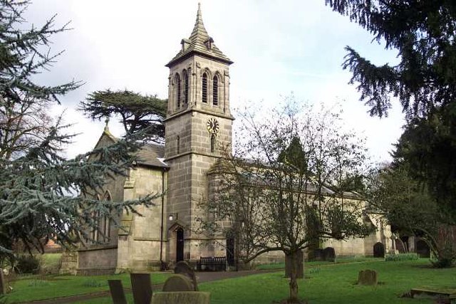
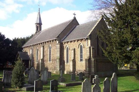
Boylestonfield is a tight-knit community with a population of around 500 residents. The village has a rich history dating back to medieval times, and remnants of its past can still be seen in the form of historic buildings and landmarks. One notable feature is St. Peter's Church, a beautiful 12th-century structure that stands proudly in the heart of the village.
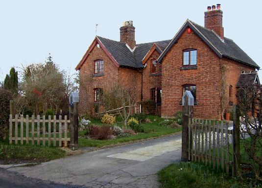
The village is primarily residential, with a few small businesses catering to the local population. Many of the villagers are employed in nearby towns and cities, commuting to work on a daily basis. The village benefits from its close proximity to Derby, offering residents access to a wider range of amenities and services.
Boylestonfield boasts a strong sense of community spirit, with various social and recreational activities taking place throughout the year. The village holds an annual summer fair, bringing residents together for a day of festivities and entertainment. Additionally, there are several sports clubs and community groups that cater to different interests and age groups.
Surrounded by the natural beauty of the Derbyshire countryside, Boylestonfield offers residents and visitors alike the opportunity to explore the nearby Peak District National Park. The park provides ample opportunities for outdoor activities such as hiking, cycling, and wildlife spotting.
Overall, Boylestonfield is a charming village that combines its rich history with a close-knit community and access to beautiful natural surroundings.
If you have any feedback on the listing, please let us know in the comments section below.
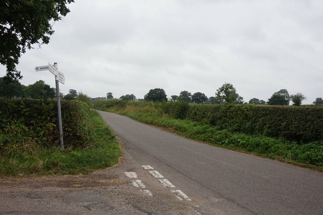
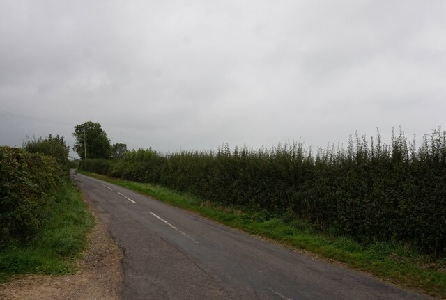
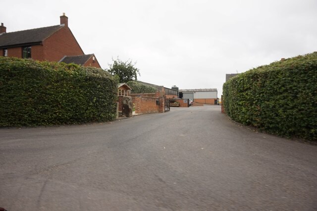
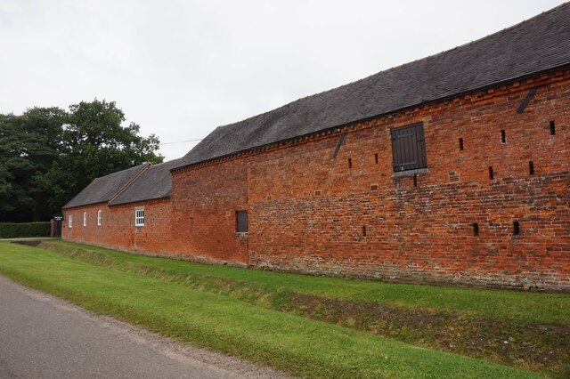
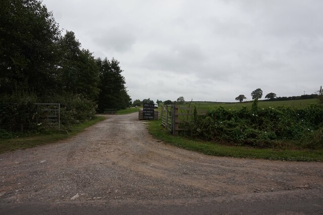
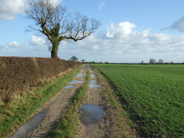
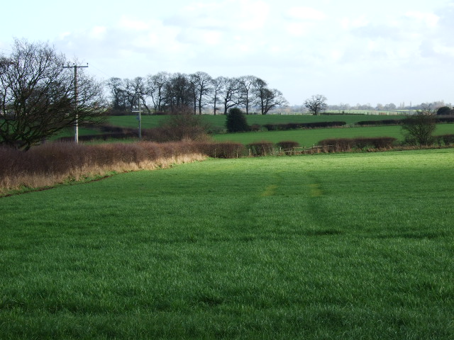
Boylestonfield Images
Images are sourced within 2km of 52.921958/-1.717363 or Grid Reference SK1936. Thanks to Geograph Open Source API. All images are credited.


Boylestonfield is located at Grid Ref: SK1936 (Lat: 52.921958, Lng: -1.717363)
Administrative County: Derbyshire
District: Derbyshire Dales
Police Authority: Derbyshire
What 3 Words
///navigate.crouches.engage. Near Doveridge, Derbyshire
Nearby Locations
Related Wikis
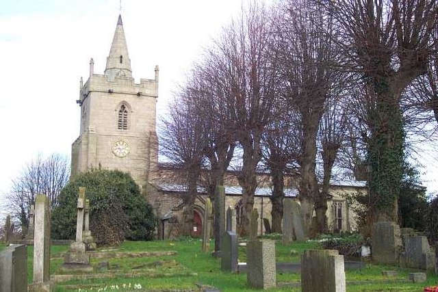
St John the Baptist's Church, Boylestone
St John the Baptist's Church, Boylestone is a Grade II* listed parish church in the Church of England in Boylestone, Derbyshire. == History == The church...
Boylestone
Boylestone is a village and civil parish in the Derbyshire Dales district of Derbyshire, England. At the 2011 census, it had a population of 318. The village...
Alkmonton
Alkmonton is a village and civil parish in the Derbyshire Dales district of Derbyshire, England, roughly between Uttoxeter and Derby. The parish had a...

Alkmonton medieval settlement
Alkmonton medieval settlement is an archaeological site, a deserted medieval village near the present-day village of Alkmonton, about 5 miles (8 km) south...

Harehill
Harehill is a village in the civil parish of Boylestone, in the Derbyshire Dales district, in the county of Derbyshire, England. == Nearby settlements... ==
Barton Blount
Barton Blount is a village and civil parish in the South Derbyshire district of Derbyshire, England, between Derby and Uttoxeter. According to the 2001...

Hungry Bentley
Hungry Bentley is a deserted medieval village and civil parish in the Derbyshire Dales district of Derbyshire, England, between Uttoxeter and Derby. The...
Church Broughton
Church Broughton is a village and civil parish in Derbyshire, 13.7 miles (22.0 km) to the west of Derby. It has a church (Saint Michael and All Angels...
Related Videos
Nearby Amenities
Located within 500m of 52.921958,-1.717363Have you been to Boylestonfield?
Leave your review of Boylestonfield below (or comments, questions and feedback).