Wall End
Settlement in Kent Canterbury
England
Wall End
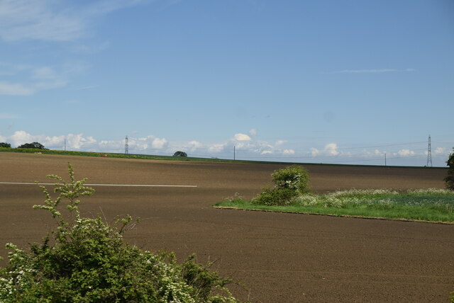
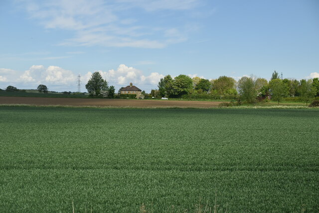
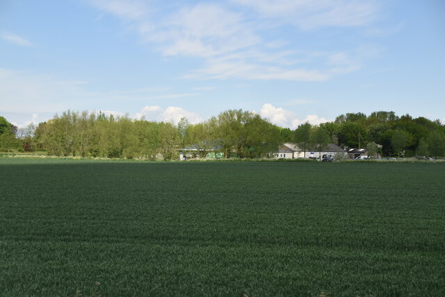
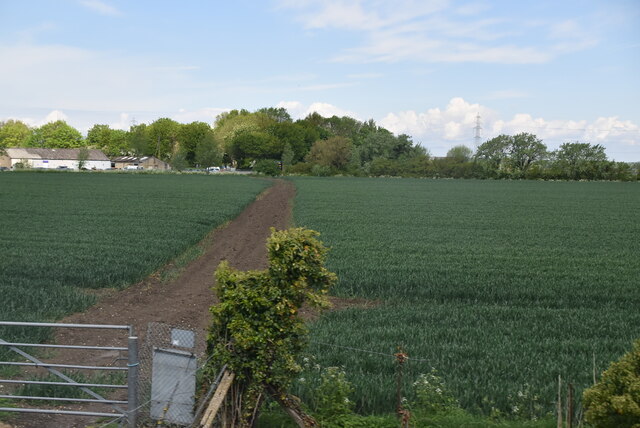
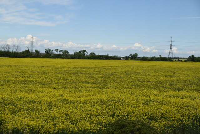
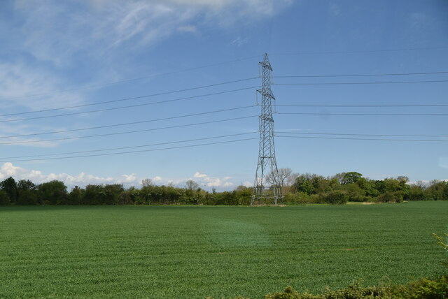
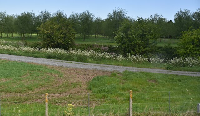
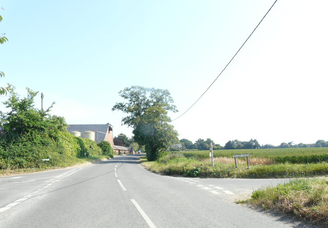
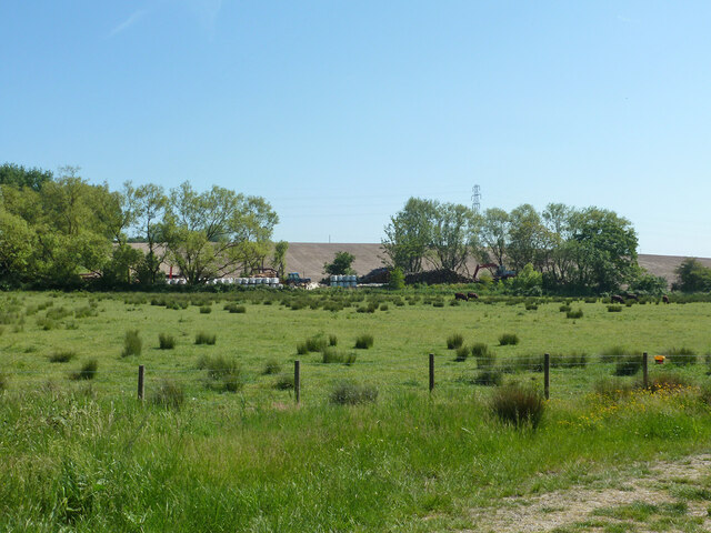
Wall End is a small village located in the county of Kent, in southeastern England. Situated about 8 miles south of the town of Maidstone, Wall End is part of the civil parish of Boxley. The village is nestled within a rural landscape, surrounded by green fields and rolling hills, characteristic of the picturesque countryside of Kent.
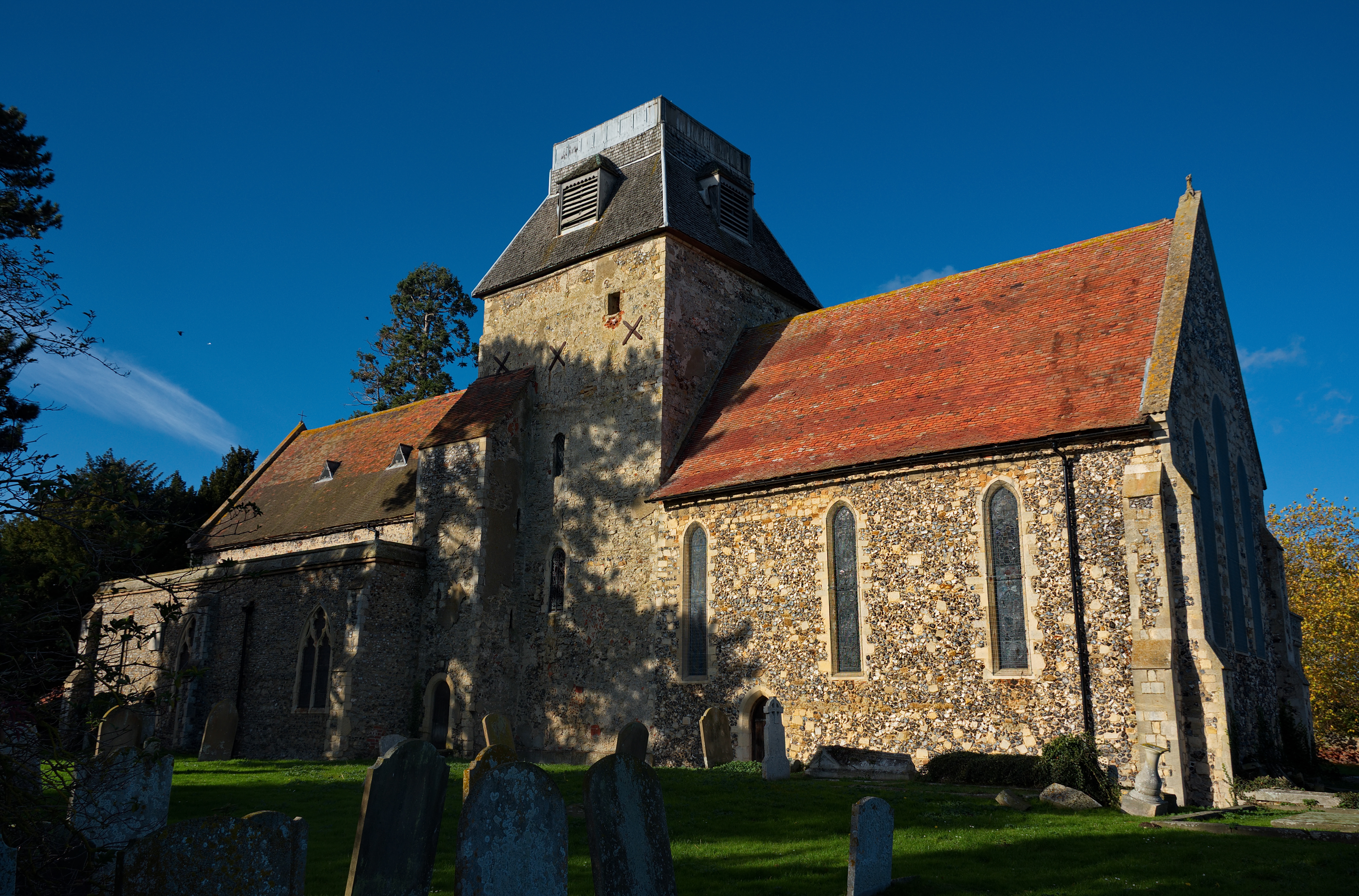
Despite its small size, Wall End has a rich history that dates back several centuries. The village is known for its charming, traditional English architecture, with many of the buildings displaying distinctive Tudor-style features. The local church, St. Mary and All Saints, is a prominent landmark in Wall End. Dating back to the 13th century, this medieval church boasts intricate stained glass windows and a beautiful bell tower.
The village itself is peaceful and tranquil, offering a serene escape from the hustle and bustle of city life. It is primarily residential, with a close-knit community that takes pride in maintaining the village's rural charm. The surrounding countryside provides ample opportunities for outdoor activities such as walking, cycling, and horse riding.
Wall End benefits from its proximity to Maidstone, a larger town that offers a wide range of amenities and services. The village is well-connected by road, with easy access to major highways and routes leading to other parts of Kent and beyond.
If you have any feedback on the listing, please let us know in the comments section below.
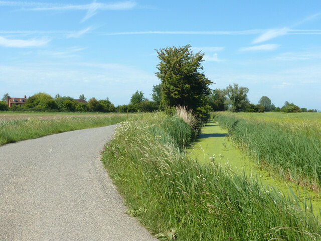
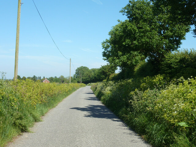
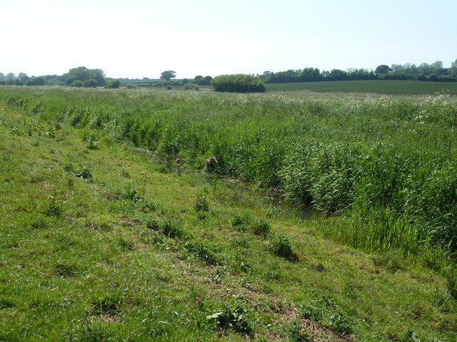
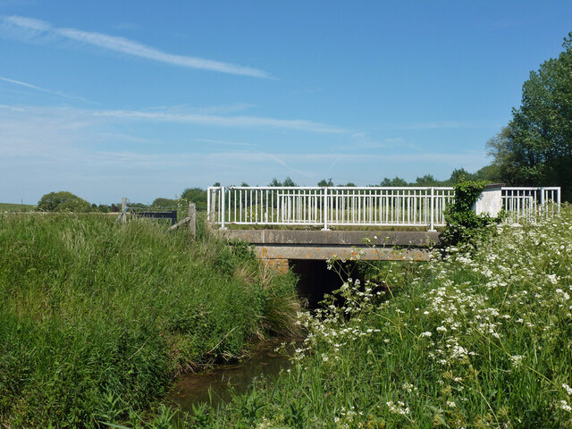
Wall End Images
Images are sourced within 2km of 51.329058/1.215433 or Grid Reference TR2463. Thanks to Geograph Open Source API. All images are credited.
Wall End is located at Grid Ref: TR2463 (Lat: 51.329058, Lng: 1.215433)
Administrative County: Kent
District: Canterbury
Police Authority: Kent
What 3 Words
///trembles.brave.cabinet. Near Wingham, Kent
Nearby Locations
Related Wikis

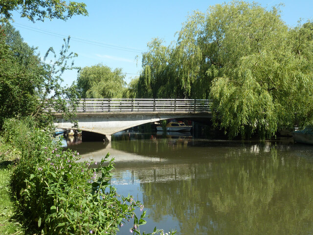
Grove Ferry Picnic Area
The Grove Ferry Picnic Area is near Upstreet, in Kent, England, on the site of an old hand-drawn ferry that once crossed the River Stour here. The area...

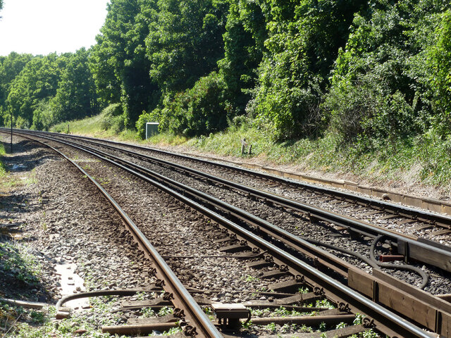
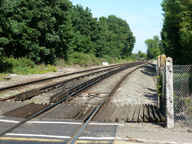
Grove Ferry and Upstreet railway station
Grove Ferry and Upstreet was a railway station in east Kent. It was opened by South Eastern Railway (SER), on the Ashford to Ramsgate (via Canterbury West...

Upstreet
Upstreet is a village in the civil parish of Chislet in Kent, England. It is in the local government district of Canterbury, and the electoral ward of...

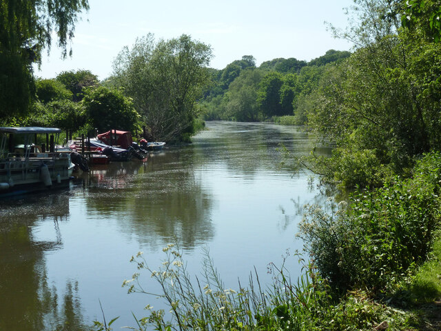
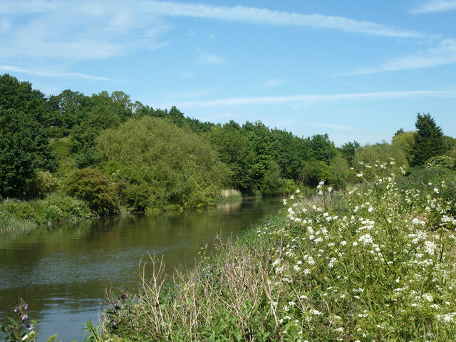
Sarre Penn
Sarre Penn is a tributary of the River Stour in Kent, England, joining with the River Wantsum near Sarre, where it is known locally as the Fishbourne...
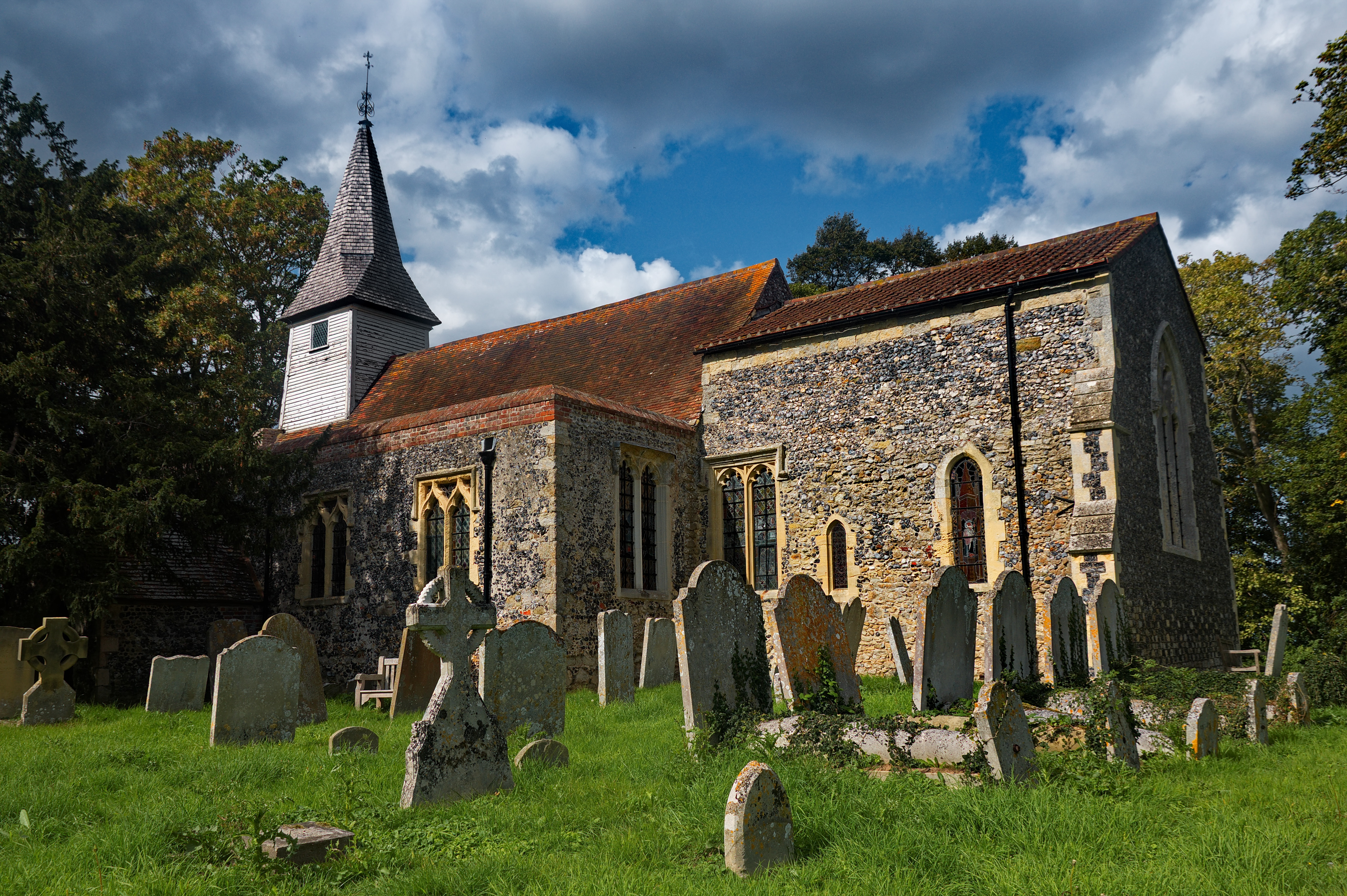
All Saints Church, West Stourmouth
All Saints Church, West Stourmouth, is a redundant Anglican church in the civil parish of Stourmouth, Kent, England. It is recorded in the National Heritage...
Chislet
Chislet is an English village and civil parish in northeast Kent between Canterbury and the Isle of Thanet. The parish is the second largest in the district...

Sarre, Kent
Sarre is a village and civil parish in Thanet District in Kent, England. The village is a part of St. Nicholas-at-Wade ecclesiastical parish, after having...

Sarre Windmill
Sarre Windmill is a Grade II listed smock mill in Sarre, Kent, England, that was built in 1820. Formerly restored and working commercially, the mill is...
Nearby Amenities
Located within 500m of 51.329058,1.215433Have you been to Wall End?
Leave your review of Wall End below (or comments, questions and feedback).