Walkergate
Settlement in Northumberland
England
Walkergate
Walkergate is a small village located in Northumberland, England. Situated about 6 miles north of the town of Morpeth, it is positioned in the heart of the beautiful Northumberland countryside. The village is surrounded by picturesque landscapes, with rolling hills, meandering rivers, and lush green fields.
Despite its small size, Walkergate has a rich history and heritage. The village dates back to at least the 12th century and has a number of historic buildings and landmarks. One notable structure is St. Peter's Church, a charming medieval church that has stood for centuries and is a focal point of the community.
The local economy of Walkergate largely depends on agriculture, with farms and fields dominating the landscape. The village is known for its agricultural practices, and many residents are involved in farming and related industries.
In terms of amenities, Walkergate offers a range of facilities for its residents. These include a primary school, a village hall, and a local pub. The village also benefits from its proximity to nearby towns, which provide additional services and amenities.
For outdoor enthusiasts, Walkergate provides ample opportunities for exploration and recreation. The surrounding countryside offers numerous walking and cycling trails, as well as fishing spots along the River Wansbeck. The village is also located near several nature reserves and country parks, making it a popular destination for nature lovers.
Overall, Walkergate is a peaceful and picturesque village, offering a tranquil escape in the heart of Northumberland's stunning countryside.
If you have any feedback on the listing, please let us know in the comments section below.
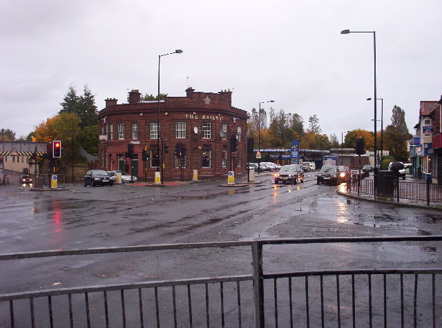
Walkergate Images
Images are sourced within 2km of 54.987319/-1.5596379 or Grid Reference NZ2865. Thanks to Geograph Open Source API. All images are credited.


Walkergate is located at Grid Ref: NZ2865 (Lat: 54.987319, Lng: -1.5596379)
Unitary Authority: Newcastle upon Tyne
Police Authority: Northumbria
What 3 Words
///liner.rents.doll. Near Wallsend, Tyne & Wear
Nearby Locations
Related Wikis
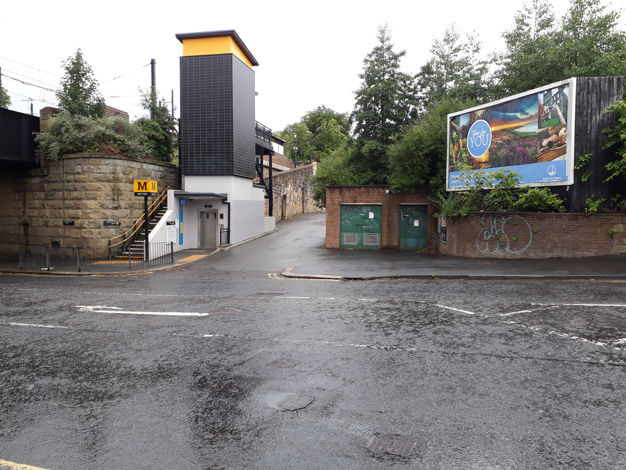
Walkergate Metro station
Walkergate is a Tyne and Wear Metro station, serving Walkergate, Newcastle upon Tyne in Tyne and Wear, England. It joined the network on 14 November 1982...

Benfield School
Benfield School is a coeducational secondary school and sixth form located in Walkergate, Newcastle upon Tyne, England. There is an ongoing consultation...
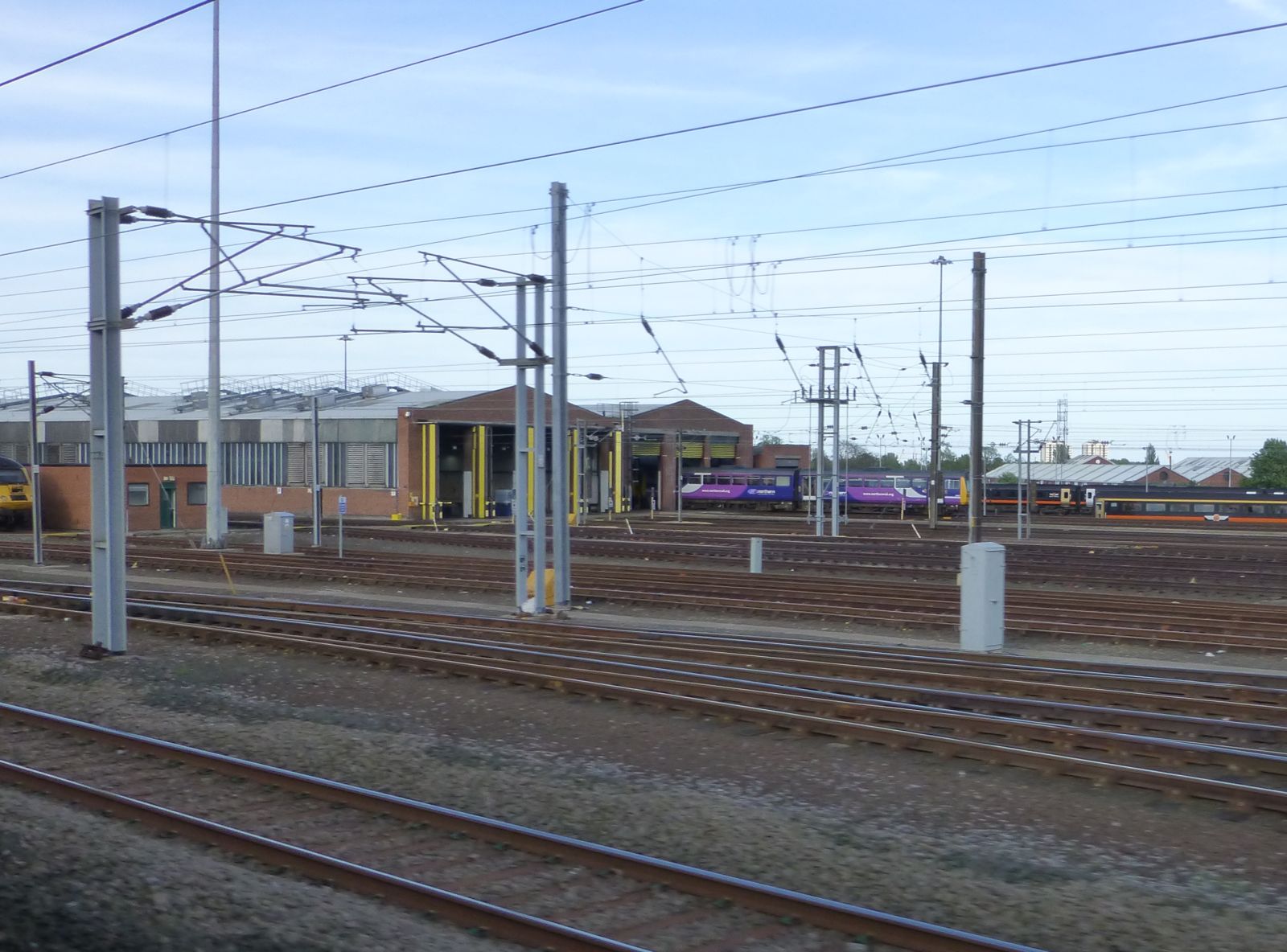
Heaton TMD
Heaton TMD is a railway traction maintenance depot situated in the Heaton area of Newcastle upon Tyne, England, it is located next to the East Coast Main...
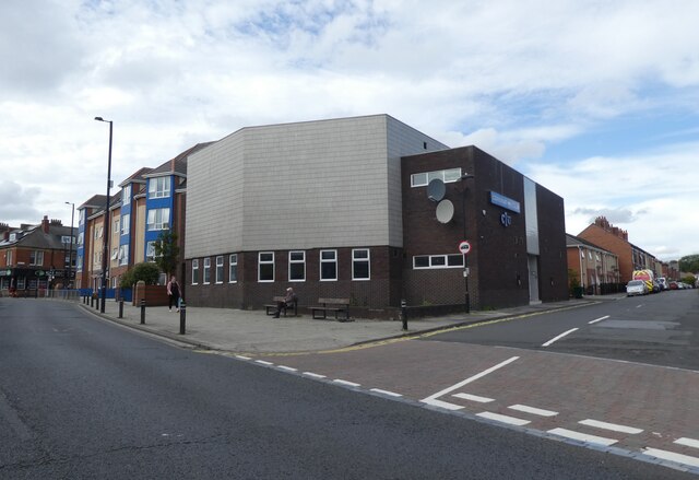
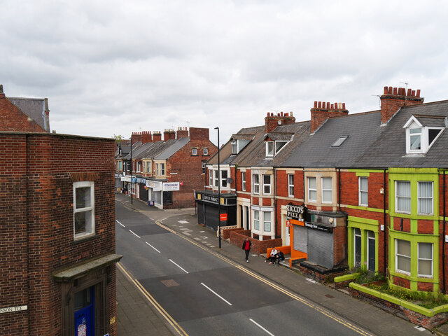
Walkergate
Walkergate is an area and electoral ward in the city of Newcastle upon Tyne, England. It is in the east of the city, north of Walker proper, east of the...
Nearby Amenities
Located within 500m of 54.987319,-1.5596379Have you been to Walkergate?
Leave your review of Walkergate below (or comments, questions and feedback).