Waldron Down

Settlement in Sussex Wealdon

England

Waldron Down

B2102, Possingworth Park
B2102, Possingworth Park Credit: N Chadwick

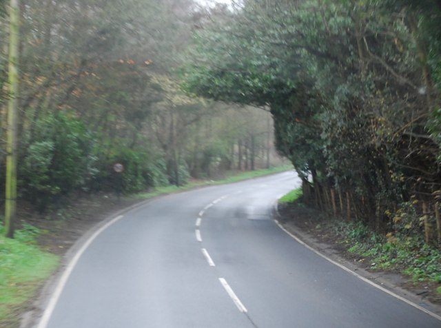
Waldron Down is a picturesque village located in the county of Sussex, England. Situated in the High Weald Area of Outstanding Natural Beauty, this rural community offers a tranquil and idyllic setting for residents and visitors alike. The village is nestled amidst rolling hills, lush green meadows, and ancient woodlands, providing breathtaking panoramic views of the surrounding countryside.

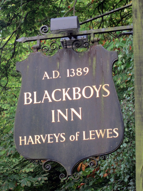
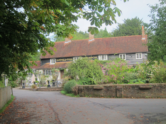
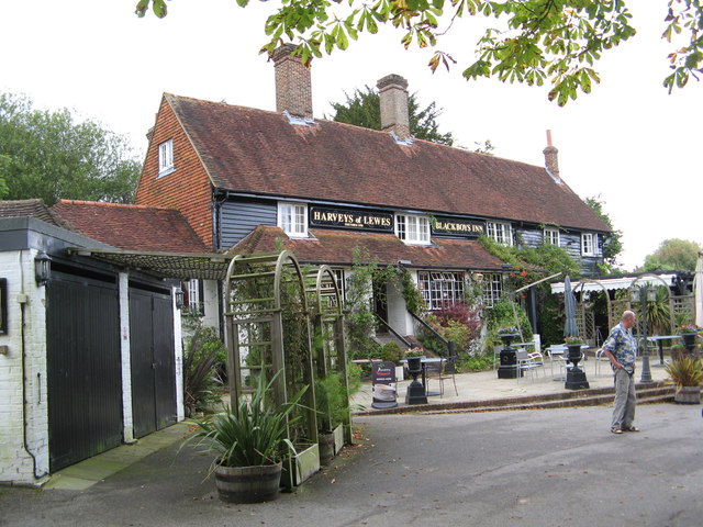
Waldron Down is known for its charming and quintessentially English character, with a collection of traditional cottages and historic buildings that date back several centuries. The village center features a quaint parish church, St. Bartholomew's, which stands as a testament to the area's rich heritage. The church is a focal point for the community, hosting regular services and events throughout the year.

Nature enthusiasts will find plenty to explore in Waldron Down. The village is surrounded by a network of footpaths and bridleways, offering opportunities for scenic walks and horse riding. The nearby Waldron Woods provide a haven for wildlife and are popular for birdwatching. The area is also home to an array of wildflowers, making it a delightful destination for botany enthusiasts.

Despite its rural setting, Waldron Down benefits from good transport links to nearby towns and cities. The village is easily accessible by road, with the A267 passing close by, connecting it to the larger towns of Heathfield and Uckfield. The village also has a regular bus service, providing convenient connections to the wider region.

Overall, Waldron Down is a charming and picturesque village that offers a peaceful retreat in the heart of the Sussex countryside. Its natural beauty, historical significance, and close-knit community make it a hidden gem for visitors seeking a slice of quintessential English rural life.

If you have any feedback on the listing, please let us know in the comments section below.
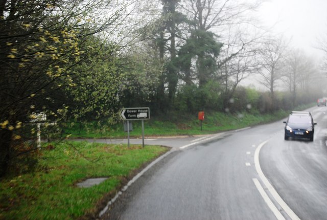
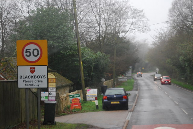
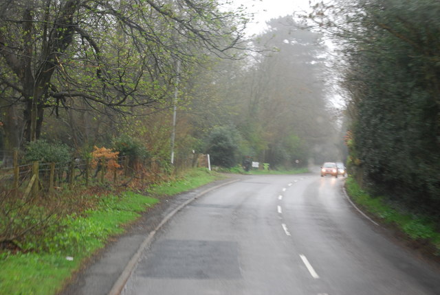
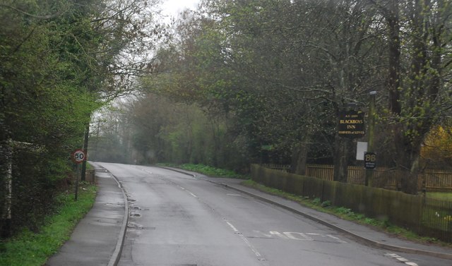
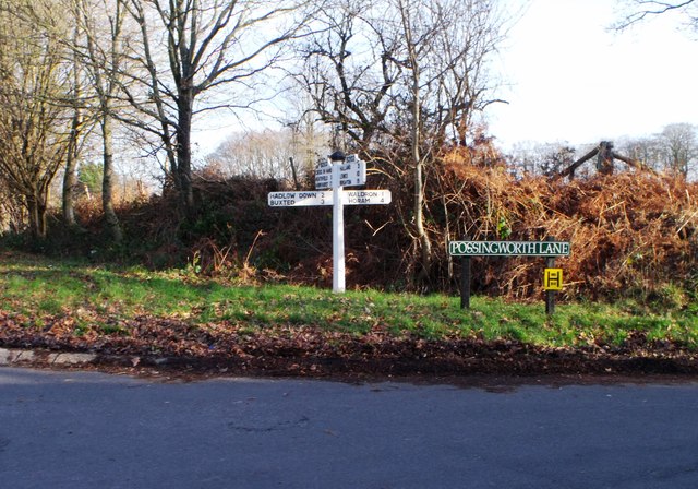
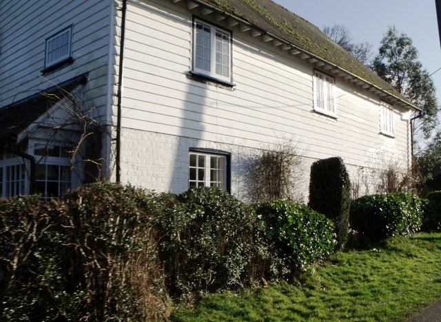
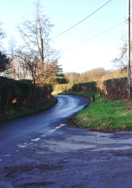
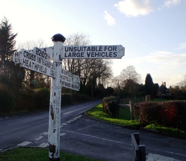
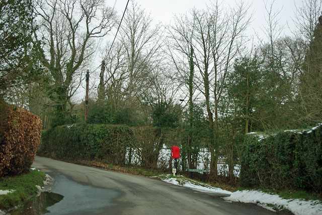
Waldron Down Images

Images are sourced within 2km of 50.968105/0.17760902 or Grid Reference TQ5321. Thanks to Geograph Open Source API. All images are credited.

B2102, Possingworth Park
B2102, Waldron Down
B2102, Waldron Down
B2102 at Sharlands
B2102 at Sharlands
Entering Blackboys, B2102
B2192, Blackboys The B2192, runs 10 miles from Earwig Corner <a href="https://www.geograph.org.uk/photo/1838834">TQ4211 : Earwig Corner</a> on the A26 immediately northeast of Lewes as far as Blackboys, between Uckfield and Heathfield.
B2192, Blackboys
The B2192, runs 10 miles from Earwig Corner TQ4211 : Earwig Corner on the A26 immediately northeast of Lewes as far as Blackboys, between Uckfield and Heathfield.
B2192 passes Blackboys Inn The B2192, runs 10 miles from Earwig Corner <a href="https://www.geograph.org.uk/photo/1838834">TQ4211 : Earwig Corner</a> on the A26 immediately northeast of Lewes as far as Blackboys, between Uckfield and Heathfield.
B2192 passes Blackboys Inn
The B2192, runs 10 miles from Earwig Corner TQ4211 : Earwig Corner on the A26 immediately northeast of Lewes as far as Blackboys, between Uckfield and Heathfield.
B2192 south west of Blackboys
Blackboys Inn sign Sign for <a href="https://www.geograph.org.uk/photo/2538940">TQ5220 : Blackboys Inn, Blackboys</a>, a Harveys of Lewes pub.
Blackboys Inn sign
Sign for TQ5220 : Blackboys Inn, Blackboys, a Harveys of Lewes pub.
Blackboys Inn, Blackboys A Harveys of Lewes pub.

Also see <a href="https://www.geograph.org.uk/photo/2538939">TQ5220 : Blackboys Inn sign</a>
Blackboys Inn, Blackboys
A Harveys of Lewes pub. Also see TQ5220 : Blackboys Inn sign
Blackboys Inn
Blackboys Inn
Signboard near Blackboys, East Sussex
Weather boarded house, Nursery Lane, Waldron Down
Road junction, Pounsley, East Sussex
Signboard, Blackboys, East Sussex
Post box at the corner The corner being the junction of Harpers Lane to the right with Moat Lane. The post box is actually on a small grass triangle.
Post box at the corner
The corner being the junction of Harpers Lane to the right with Moat Lane. The post box is actually on a small grass triangle.
Nursery Lane The lane gets a bit slippery, perversely on a hill.
Nursery Lane
The lane gets a bit slippery, perversely on a hill.
A slippery Nursery Lane Care needed down the hill with limited braking at first.
A slippery Nursery Lane
Care needed down the hill with limited braking at first.
Post box at the corner The corner being the junction of Nursery Lane with Riverside, the turning to the left. The river concerned is the Tickerage Stream, one branch of which is crossed at the small bridge at the end of the straight ahead.
Post box at the corner
The corner being the junction of Nursery Lane with Riverside, the turning to the left. The river concerned is the Tickerage Stream, one branch of which is crossed at the small bridge at the end of the straight ahead.
Show me another place!

Waldron Down is located at Grid Ref: TQ5321 (Lat: 50.968105, Lng: 0.17760902)

Administrative County: East Sussex

District: Wealdon

Police Authority: Sussex

What 3 Words

///skin.moons.bookings. Near Buxted, East Sussex

Related Wikis

Holy Cross Priory, Cross-in-Hand

Holy Cross Priory, Cross-in-Hand, is a priory of the Benedictine Sisters of Grace and Compassion which provides homes for the elderly. It was established...

Roser's Cross

Roser's Cross is a village in the Wealden district of East Sussex.

Selwyns Wood

Selwyns Wood is a 11-hectare (27-acre) nature reserve west of Heathfield in Sussex. It is managed by the Sussex Wildlife Trust.This reserve has woodland...

Vanguard Way

The Vanguard Way is a long-distance walk of 66.2 mi (106.5 km) from East Croydon station in outer London (OS grid reference TQ328658), travelling from...

Etchingwood

Etchingwood is a small cluster of mostly detached properties and farms within the civil parish of Buxted in the Wealden district of East Sussex, England...

New Mill, Cross-in-Hand

New Mill is a Grade II* listed post mill at Cross in Hand near Heathfield, East Sussex, England. It was the last windmill working commercially by wind...

Five Ash Down Independent Chapel

Five Ash Down Independent Chapel is an independent Evangelical church in the Reformed (Calvinist) tradition in the hamlet of Five Ash Down, East Sussex...

Providence Chapel, Hadlow Down

Providence Chapel is a former independent Calvinistic place of worship in the village of Hadlow Down in Wealden, one of six local government districts...

Nearby Amenities

Located within 500m of 50.968105,0.17760902
Barrier: stile
Lat/Long: 50.9659143/0.1793472
Post Box
Operator: Royal Mail
Operator Wikidata: Q638098
Post Box Type: lamp
Ref: TN22 74D
Royal Cypher: EIIR
Royal Cypher Wikidata: Q33102113
Lat/Long: 50.9659521/0.1735554
Post Box
Brand: Royal Mail
Brand Wikidata: Q638098
Brand Wikipedia: en:Royal Mail
Operator: Royal Mail
Operator Wikidata: Q638098
Post Box Type: lamp
Ref: TN22 72
Royal Cypher: EIIR
Royal Cypher Wikidata: Q33102113
Lat/Long: 50.9685711/0.1821632
Brownings Farm
Addr Postcode: TN22 5HG
Place: farm
Source Name: OS_OpenData_StreetView
Lat/Long: 50.9666859/0.177176
Barrier: stile
Lat/Long: 50.965312/0.1817686
Barrier: stile
Material: wood
Stile: stepover
Lat/Long: 50.9679771/0.1792187
Barrier: stile
Stile: stepover
Lat/Long: 50.9704572/0.1815579
Barrier: stile
Lat/Long: 50.9657595/0.1796022
The data included in this document is from www.openstreetmap.org. The data is made available under ODbL.

Have you been to Waldron Down?

Leave your review of Waldron Down below (or comments, questions and feedback).