Burnthouse Wood
Wood, Forest in Sussex Wealden
England
Burnthouse Wood

Burnthouse Wood is a picturesque woodland located in the county of Sussex, England. Covering an area of approximately 30 hectares, this ancient forest is renowned for its natural beauty and diverse ecosystem. The wood is situated near the village of West Hoathly, just a few miles away from the popular tourist destination of Ashdown Forest.
The woodland is characterized by its dense canopy of mature oak, beech, and sweet chestnut trees, which provide a rich habitat for a variety of wildlife. Visitors can expect to encounter a wide range of bird species, including woodpeckers, nuthatches, and treecreepers, as well as mammals such as deer, foxes, and badgers. The forest floor is adorned with a colorful carpet of wildflowers during the spring and summer months.
Several well-maintained walking trails wind their way through Burnthouse Wood, allowing visitors to explore its enchanting surroundings at their own pace. Along these trails, one can discover hidden clearings, babbling brooks, and ancient trees with twisted trunks. The wood is also home to a number of natural springs, adding to its ethereal charm.
For those interested in history, Burnthouse Wood holds particular significance. The site is believed to have been inhabited by humans since the Mesolithic period, and remnants of ancient settlements, including flint tools and pottery fragments, have been discovered in the area.
Overall, Burnthouse Wood is a captivating destination for nature enthusiasts, history buffs, and anyone seeking a tranquil escape in the heart of Sussex. Its rich biodiversity, serene atmosphere, and fascinating past make it a must-visit location for those exploring the region.
If you have any feedback on the listing, please let us know in the comments section below.
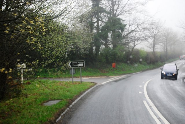
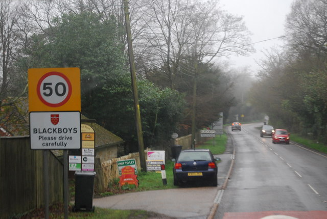
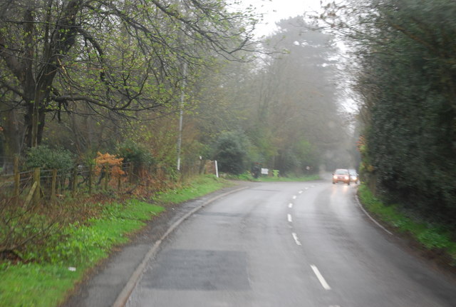
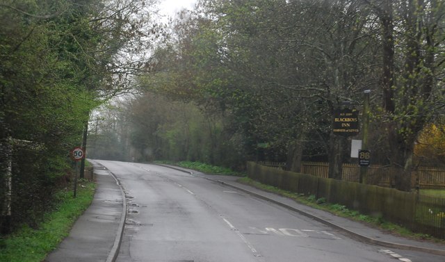
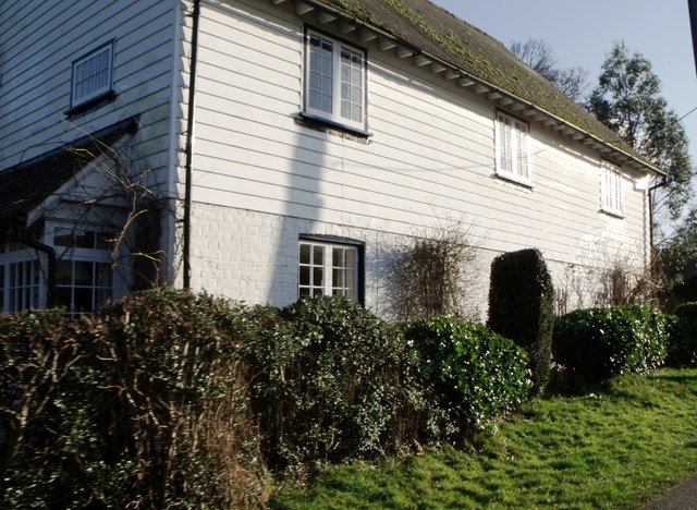
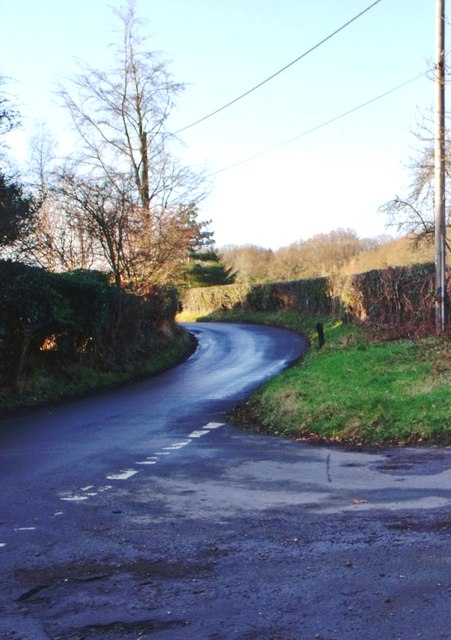
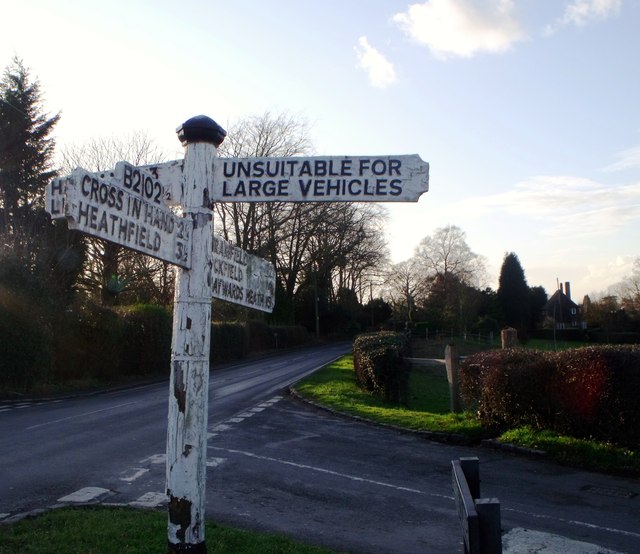
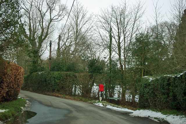
Burnthouse Wood Images
Images are sourced within 2km of 50.972901/0.18616644 or Grid Reference TQ5321. Thanks to Geograph Open Source API. All images are credited.


Burnthouse Wood is located at Grid Ref: TQ5321 (Lat: 50.972901, Lng: 0.18616644)
Administrative County: East Sussex
District: Wealden
Police Authority: Sussex
What 3 Words
///remake.toothpick.boasted. Near Buxted, East Sussex
Nearby Locations
Related Wikis

Holy Cross Priory, Cross-in-Hand
Holy Cross Priory, Cross-in-Hand, is a priory of the Benedictine Sisters of Grace and Compassion which provides homes for the elderly. It was established...

Roser's Cross
Roser's Cross is a village in the Wealden district of East Sussex.

Selwyns Wood
Selwyns Wood is a 11-hectare (27-acre) nature reserve west of Heathfield in Sussex. It is managed by the Sussex Wildlife Trust.This reserve has woodland...

New Mill, Cross-in-Hand
New Mill is a Grade II* listed post mill at Cross in Hand near Heathfield, East Sussex, England. It was the last windmill working commercially by wind...

Great Bush Railway
The Great Bush Railway is a private, 2 ft (610 mm) narrow gauge running round the edge of Tinkers Park, Hadlow Down, Sussex. The railway is operated by...

Five Ash Down Independent Chapel
Five Ash Down Independent Chapel is an independent Evangelical church in the Reformed (Calvinist) tradition in the hamlet of Five Ash Down, East Sussex...

Providence Chapel, Hadlow Down
Providence Chapel is a former independent Calvinistic place of worship in the village of Hadlow Down in Wealden, one of six local government districts...

Cross-in-Hand
Cross-in-Hand is a small village outside Heathfield town to its west, in the Wealden District situated in East Sussex, England. It is occasionally referred...
Nearby Amenities
Located within 500m of 50.972901,0.18616644Have you been to Burnthouse Wood?
Leave your review of Burnthouse Wood below (or comments, questions and feedback).