Waddicar
Settlement in Lancashire
England
Waddicar
Waddicar is a small village located in the county of Lancashire in northwestern England. Situated approximately 8 miles north of the city of Liverpool, Waddicar is known for its picturesque countryside setting and its close proximity to urban amenities.
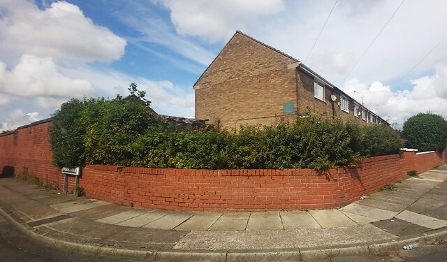
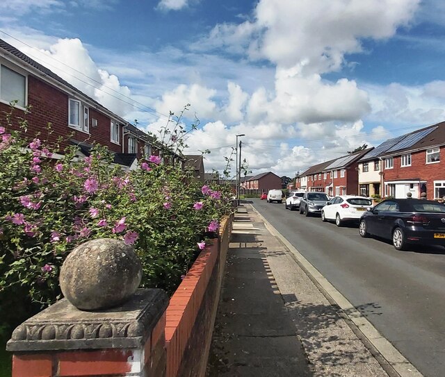
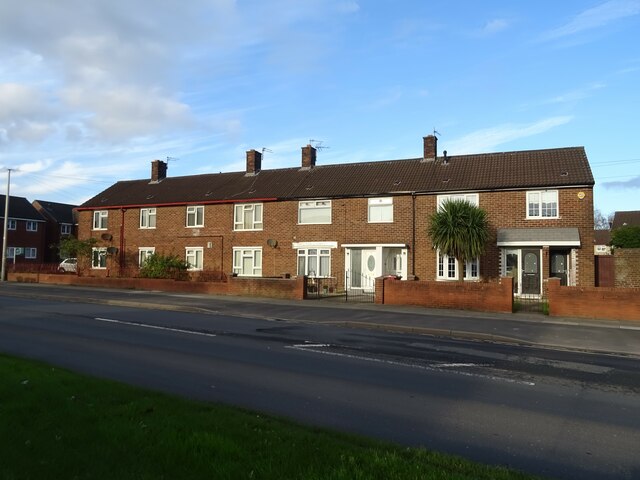
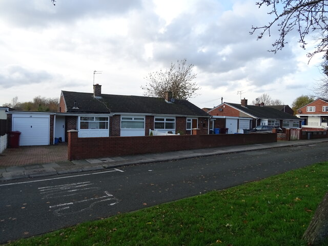
The village is primarily residential, with a population of around 1,500 people. It is characterized by its charming rows of terraced houses, which reflect the region's industrial heritage. Many of these homes were built in the late 19th and early 20th centuries to accommodate workers from nearby factories and mills.
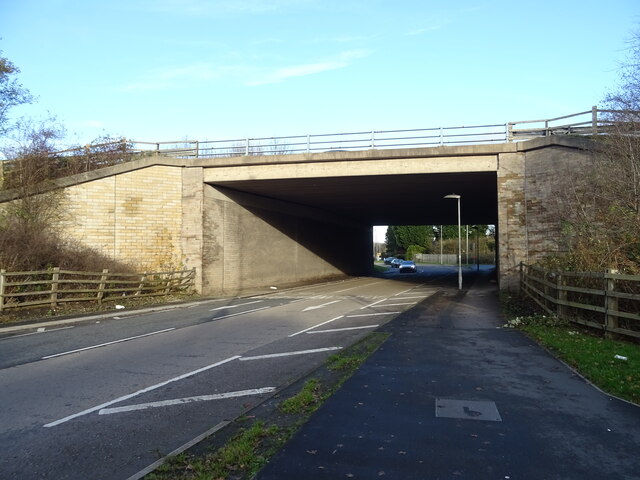
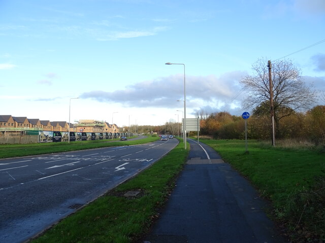
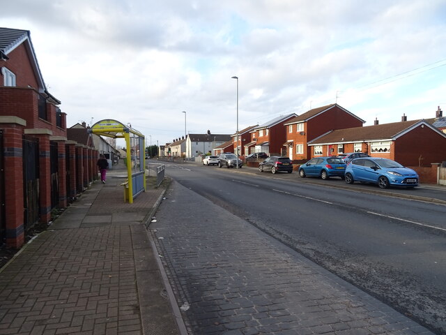
Despite its small size, Waddicar benefits from its convenient location. It is well-connected to major transportation routes, with the A59 road passing nearby, providing easy access to Liverpool, Preston, and other nearby towns. The village also benefits from reliable public transportation, with regular bus services operating in the area.
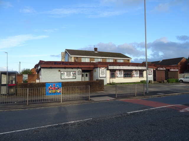
Residents of Waddicar enjoy a range of amenities, including a primary school, a community center, and several local shops and pubs. The village is also surrounded by beautiful green spaces, with Alt Park and Lunt Meadows Nature Reserve located nearby, providing opportunities for outdoor activities and nature walks.
Overall, Waddicar offers a peaceful and close-knit community atmosphere, with its idyllic rural setting and convenient access to urban centers making it an attractive place to live for those seeking a balance between countryside living and urban convenience.
If you have any feedback on the listing, please let us know in the comments section below.
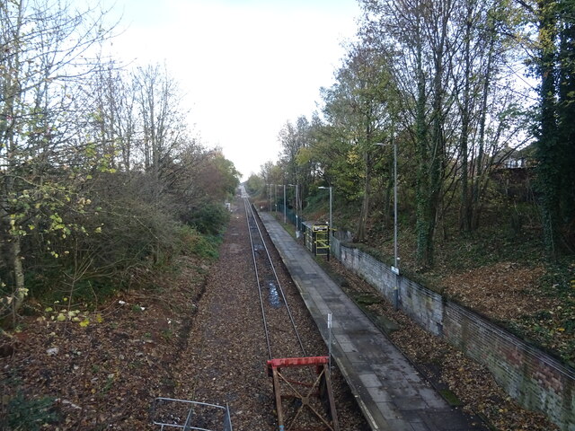
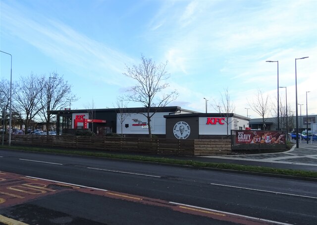
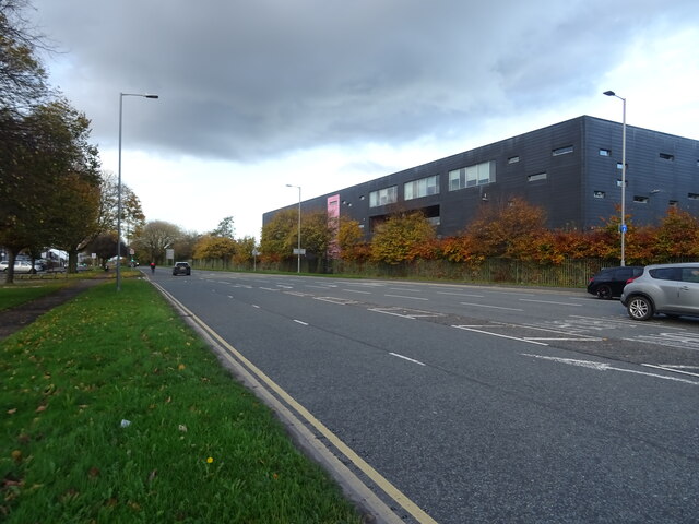
Waddicar Images
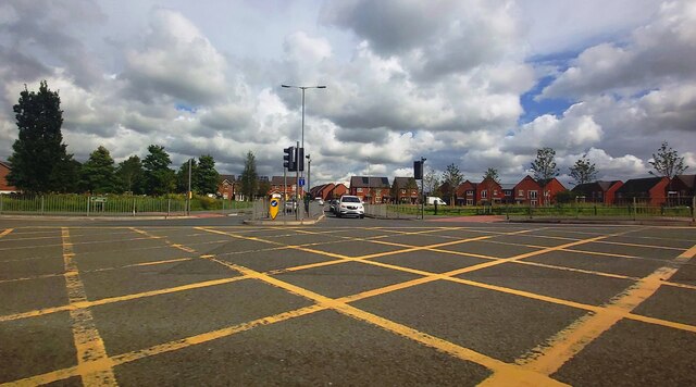
Images are sourced within 2km of 53.489017/-2.9139971 or Grid Reference SJ3999. Thanks to Geograph Open Source API. All images are credited.

Waddicar is located at Grid Ref: SJ3999 (Lat: 53.489017, Lng: -2.9139971)
Unitary Authority: Sefton
Police Authority: Merseyside
What 3 Words
///uses.winter.gazed. Near Melling, Merseyside
Nearby Locations
Related Wikis

Waddicar
Waddicar is the name given to an area of the Metropolitan Borough of Sefton, Merseyside, between Melling and Kirkby in the Metropolitan Borough of Knowsley...
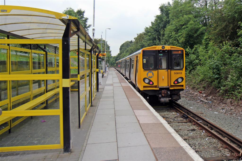
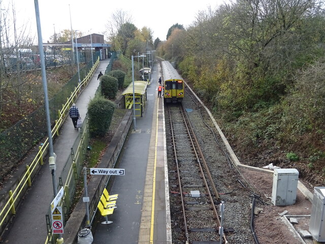
Kirkby railway station
Kirkby railway station is situated in Kirkby, Merseyside, England. It is situated 7.5 miles (12 km) north-east of Liverpool Central and is on the Kirkby...

Molyneux (ward)
Molyneux is a Metropolitan Borough of Sefton ward in the Sefton Central Parliamentary constituency that covers the localities of Aintree, Melling, Waddicar...

Melling, Merseyside
Melling is a village and civil parish within the Metropolitan Borough of Sefton, in Merseyside, England. At the 2001 Census the population was recorded...
Nearby Amenities
Located within 500m of 53.489017,-2.9139971Have you been to Waddicar?
Leave your review of Waddicar below (or comments, questions and feedback).