Victoria Garesfield
Settlement in Durham
England
Victoria Garesfield
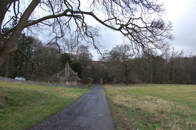
Victoria Garesfield is a small village located in the county of Durham, in the northeast region of England. Situated approximately 10 miles west of Newcastle upon Tyne, this charming rural settlement is nestled amidst picturesque countryside and is known for its tranquil atmosphere and natural beauty.
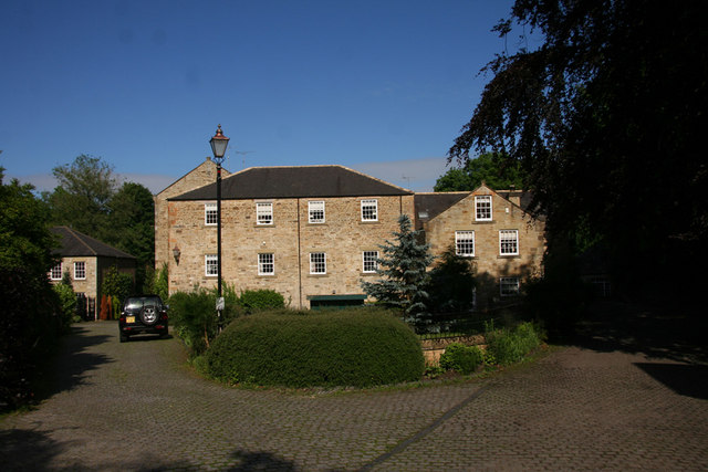
The village of Victoria Garesfield is home to a tight-knit community of around 500 residents. The area has a rich history, with evidence of human habitation dating back to the medieval period. Today, it retains much of its traditional charm, with stone-built cottages and well-preserved historic architecture dotting its landscape.
The village is surrounded by lush green fields and rolling hills, making it an ideal destination for outdoor enthusiasts and nature lovers. There are several walking and cycling trails that crisscross the countryside, offering stunning views and opportunities to explore the local flora and fauna.
Despite its rural character, Victoria Garesfield benefits from convenient access to amenities and services. The nearby town of Rowlands Gill provides a range of shops, supermarkets, and other essential facilities. Additionally, the village is well-connected to larger urban centers, with regular bus services and easy access to major road networks.
Victoria Garesfield boasts a strong sense of community spirit and offers a range of recreational activities and social events. The village hall serves as a hub for various clubs and organizations, hosting regular gatherings and activities for residents of all ages.
In summary, Victoria Garesfield is a picturesque village in Durham, England, offering a peaceful and idyllic lifestyle surrounded by natural beauty.
If you have any feedback on the listing, please let us know in the comments section below.
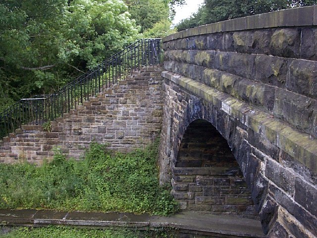
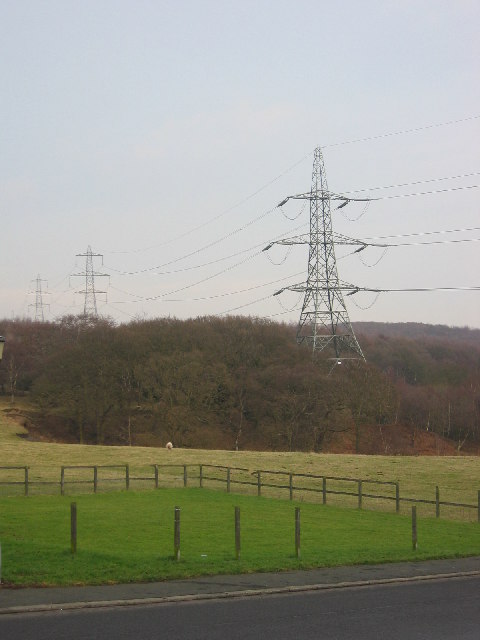
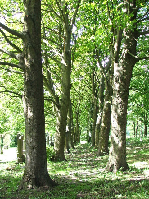
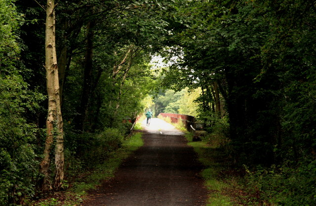
Victoria Garesfield Images
Images are sourced within 2km of 54.916057/-1.771855 or Grid Reference NZ1457. Thanks to Geograph Open Source API. All images are credited.


Victoria Garesfield is located at Grid Ref: NZ1457 (Lat: 54.916057, Lng: -1.771855)
Unitary Authority: Gateshead
Police Authority: Northumbria
What 3 Words
///simulator.bronzed.pushing. Near Rowlands Gill, Tyne & Wear
Nearby Locations
Related Wikis
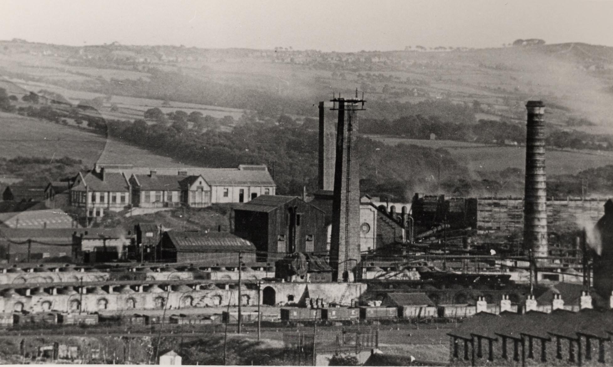
Whinfield coke works
Whinfield coke works was a large industrial complex located near Rowlands Gill in Tyne and Wear, North East England. The complex comprised a coking plant...
Lintzford
Lintzford is a small village on the border of County Durham and Tyne and Wear, England. Situated on the River Derwent in the countryside near the town...

Lintz Green railway station
Lintz Green Railway Station was on the Derwent Valley Railway Branch of the North Eastern Railway near Consett, County Durham, England. The railway station...

Hookergate School
Hookergate School was a secondary school and sixth form located in High Spen in the Metropolitan Borough of Gateshead, England. Originally founded as Hookergate...
Hamsterley Mill
Hamsterley Mill is a village in County Durham, around 3 miles from Burnopfield and approximately the same distance from Consett.
High Spen
High Spen is an old mining village in the Metropolitan Borough of Gateshead, historically part of County Durham. There is an entrance to Chopwell Wood...
Rowlands Gill
Rowlands Gill is a village on the north bank of the River Derwent, in the Metropolitan Borough of Gateshead, Tyne and Wear, England. The Gibside Estate...

Rowlands Gill railway station
Rowlands Gill railway station served the village of Rowlands Gill, Tyne and Wear, England from 1867 to 1963 on the Derwent Valley Railway. == History... ==
Nearby Amenities
Located within 500m of 54.916057,-1.771855Have you been to Victoria Garesfield?
Leave your review of Victoria Garesfield below (or comments, questions and feedback).