Varchoel

Settlement in Montgomeryshire

Wales

Varchoel

Shropshire Union Canal (Montgomery Branch), at Pool Quay
Shropshire Union Canal (Montgomery Branch), at Pool Quay Credit: Colin Park

The requested URL returned error: 429 Too Many Requests

If you have any feedback on the listing, please let us know in the comments section below.
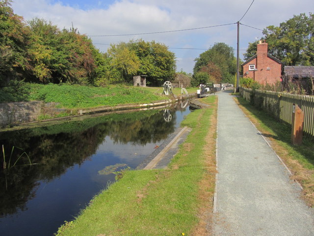
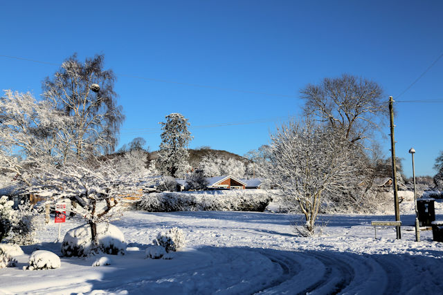
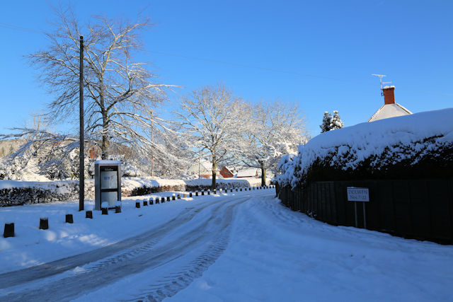
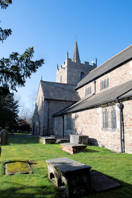
Varchoel Images

Images are sourced within 2km of 52.702508/-3.129904 or Grid Reference SJ2312. Thanks to Geograph Open Source API. All images are credited.

Shropshire Union Canal (Montgomery Branch), at Pool Quay
Chepstow Avenue junction with Agincourt Drive
Guilsfield church from The Cross
Arddleen Road from Cemetery Lane junction
School Road from Arddleen road
White Dolwen from Cemetery Lane There are two Dolwens in Guilsfield, White and Red. White Dolwen houses are White and Red Dolwen are Red
White Dolwen from Cemetery Lane
There are two Dolwens in Guilsfield, White and Red. White Dolwen houses are White and Red Dolwen are Red
The Chapel in the Cemetery ground The Cross is the war memorial
The Chapel in the Cemetery ground
The Cross is the war memorial
School Road from The Old School
Old Milestone by the B4392, Varchoel Cottages, Guilsfield parish Pool Gable by the B4392, in parish of Guilsfield (Powys District), Varchoel Cottages, Varchoel, in bank, North side of road.

Inscription reads:-
POOL 4
OSWESTRY 11½

Grade II listed by Cadw.
Reference Number: 15812 <span class="nowrap"><a title="https://cadwpublic-api.azurewebsites.net/reports/listedbuilding/FullReport?lang=&id=15812" rel="nofollow ugc noopener" href="https://cadwpublic-api.azurewebsites.net/reports/listedbuilding/FullReport?lang=&id=15812">Link</a><img style="margin-left:2px;" alt="External link" title="External link - shift click to open in new window" src="https://s1.geograph.org.uk/img/external.png" width="10" height="10"/></span>

Surveyed

Milestone Society National ID: MOT_WPOWa04
Old Milestone by the B4392, Varchoel Cottages, Guilsfield parish
Pool Gable by the B4392, in parish of Guilsfield (Powys District), Varchoel Cottages, Varchoel, in bank, North side of road. Inscription reads:- POOL 4 OSWESTRY 11½ Grade II listed by Cadw. Reference Number: 15812 LinkExternal link Surveyed Milestone Society National ID: MOT_WPOWa04
Old Milestone by the B4392, near Varchoel Bridge, Guilsfield parish Pool Gable by the B4392, in parish of Guilsfield (Powys District), Burgedin, Southwest of Varchoel Bridge, in bank, North side of road.

Inscription reads:-
Pool. 5.
OSWeSTRY.10½  

Grade II listed by Cadw.
Reference Number: 15794 <span class="nowrap"><a title="https://cadwpublic-api.azurewebsites.net/reports/listedbuilding/FullReport?lang=&id=15794" rel="nofollow ugc noopener" href="https://cadwpublic-api.azurewebsites.net/reports/listedbuilding/FullReport?lang=&id=15794">Link</a><img style="margin-left:2px;" alt="External link" title="External link - shift click to open in new window" src="https://s1.geograph.org.uk/img/external.png" width="10" height="10"/></span>

Surveyed

Milestone Society National ID: MOT_WPOWa05
Old Milestone by the B4392, near Varchoel Bridge, Guilsfield parish
Pool Gable by the B4392, in parish of Guilsfield (Powys District), Burgedin, Southwest of Varchoel Bridge, in bank, North side of road. Inscription reads:- Pool. 5. OSWeSTRY.10½ Grade II listed by Cadw. Reference Number: 15794 LinkExternal link Surveyed Milestone Society National ID: MOT_WPOWa05
Cottage, known as White Ash, in School Lane This is a surviving example of a Welsh Long House. It is one of the few with a Cruck Beam construction in the area. The house was built in 1521
Cottage, known as White Ash, in School Lane
This is a surviving example of a Welsh Long House. It is one of the few with a Cruck Beam construction in the area. The house was built in 1521
The eastern face of St Aelhaiarn's church Guilsfield parish church
The eastern face of St Aelhaiarn's church
Guilsfield parish church
The Cemetery Guilsfield
The War Memorial in the Cemetery The stones around the memorial have been decorated for the 100th anniversary of the end of World war 1
The War Memorial in the Cemetery
The stones around the memorial have been decorated for the 100th anniversary of the end of World war 1
The chapel in the Cemetery
Crocus display outside school Nice display of crocuses outside Guilsfield Primary School
Crocus display outside school
Nice display of crocuses outside Guilsfield Primary School
The Church from the crossroads
Unusual gravestone in churchyard This is Guilsfield churchyard
Unusual gravestone in churchyard
This is Guilsfield churchyard
Show me another place!

Varchoel is located at Grid Ref: SJ2312 (Lat: 52.702508, Lng: -3.129904)

Unitary Authority: Powys

Police Authority: Dyfed Powys

What 3 Words

///mirroring.rots.outsize. Near Guilsfield, Powys

Nearby Locations

Varchoel

Related Wikis

Burgedin

Burgedin is a village in Powys, Wales. The Montgomery Canal passes through the village. == External links == Photos of Burgedin and surrounding area on...

Pool Quay

Pool Quay (Welsh: Cei'r Trallwng) is a small village in Powys, Mid Wales. == Location == It is situated on the A483 road, between the towns of Welshpool...
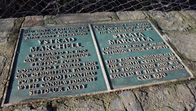
Strata Marcella

The Abbey of Strata Marcella (Welsh: Abaty Ystrad Marchell) was a medieval Cistercian monastery situated at Ystrad Marchell (Strata Marcella being the...

Pool Quay railway station

Pool Quay railway station was a station in Pool Quay, Powys, Wales. The station was opened on 1 May 1860 and closed on 18 January 1965. == References ==

Nearby Amenities

Located within 500m of 52.702508,-3.129904
Direction: SSW
Generator Method: photovoltaic
Generator Output Electricity: yes
Generator Solar Modules: 16
Generator Source: solar
Generator Type: solar_photovoltaic_panel
Location: roof
Power: generator
Lat/Long: 52.7052526/-3.1325603
Direction: 145
Generator Method: photovoltaic
Generator Output Electricity: yes
Generator Solar Modules: 15
Generator Source: solar
Generator Type: solar_photovoltaic_panel
Location: roof
Power: generator
Lat/Long: 52.7057377/-3.1327705
Direction: SSW
Generator Method: photovoltaic
Generator Output Electricity: yes
Generator Solar Modules: 16
Generator Source: solar
Generator Type: solar_photovoltaic_panel
Location: roof
Power: generator
Lat/Long: 52.7053599/-3.1332372
Direction: 147
Generator Method: photovoltaic
Generator Output Electricity: yes
Generator Solar Modules: 20
Generator Source: solar
Generator Type: solar_photovoltaic_panel
Location: roof
Power: generator
Lat/Long: 52.7032171/-3.1318741
Varchoel
Place: hamlet
Lat/Long: 52.7030553/-3.130444
The data included in this document is from www.openstreetmap.org. The data is made available under ODbL.

Have you been to Varchoel?

Leave your review of Varchoel below (or comments, questions and feedback).