Vange
Settlement in Essex Basildon
England
Vange
The requested URL returned error: 429 Too Many Requests
If you have any feedback on the listing, please let us know in the comments section below.
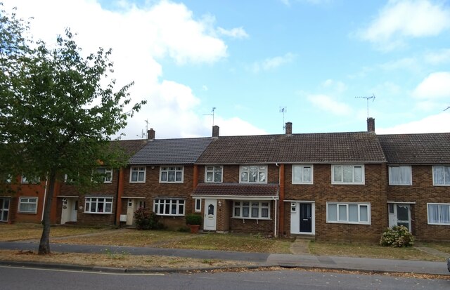
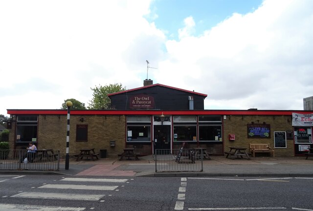
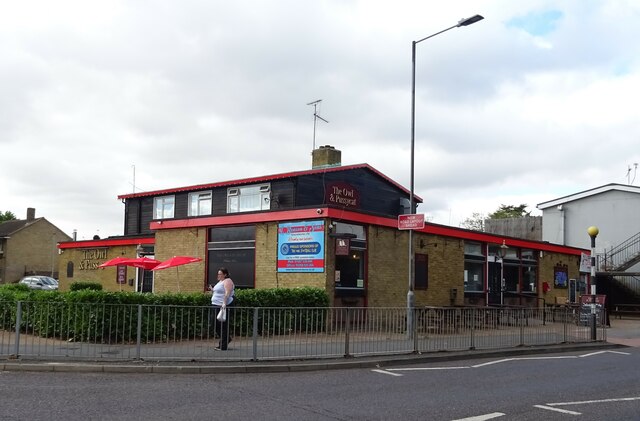
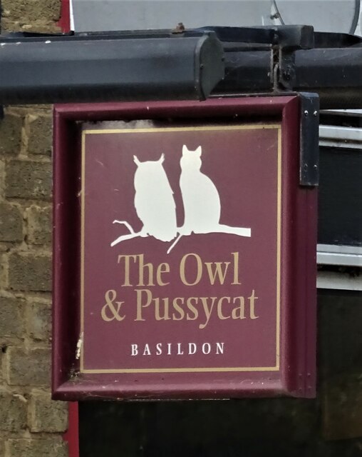
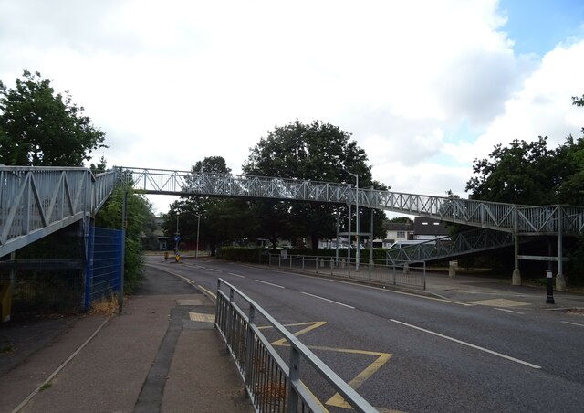
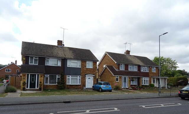
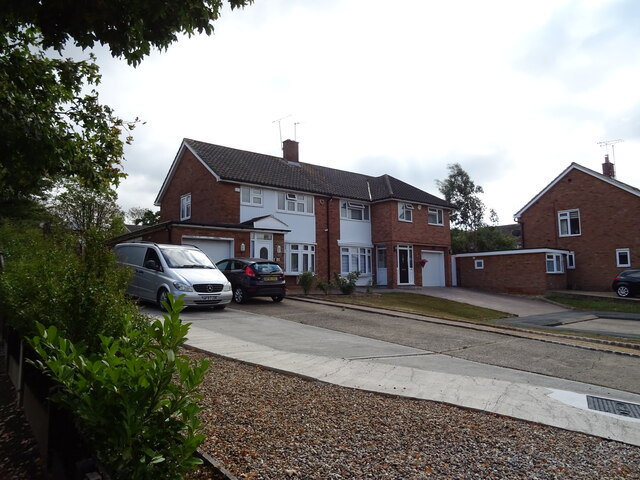
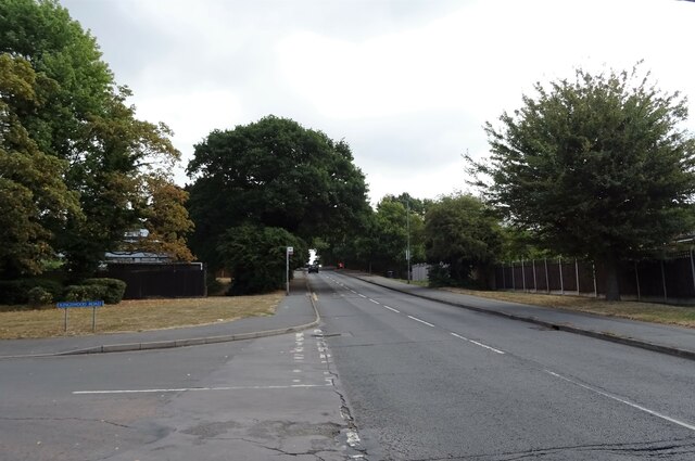
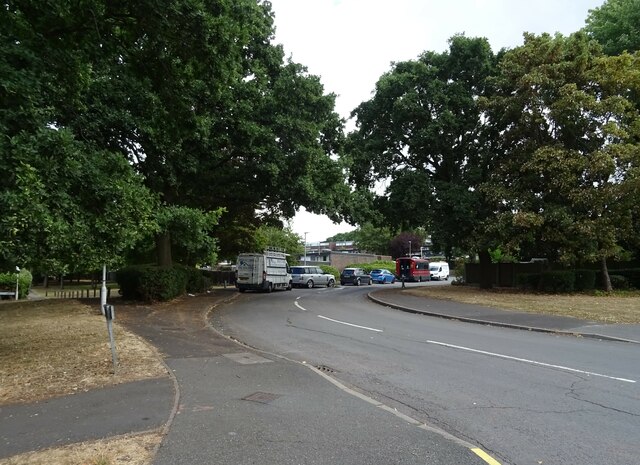
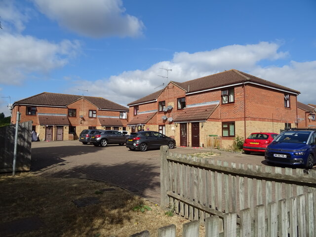
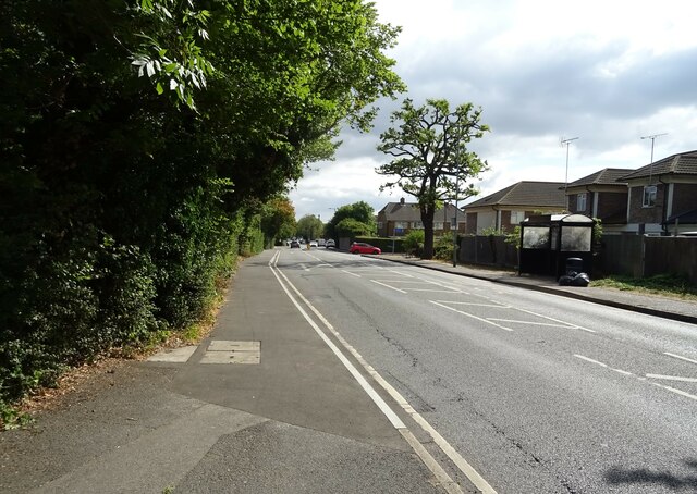
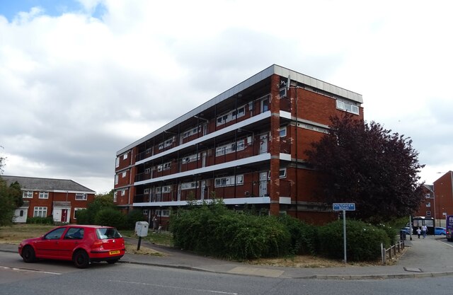
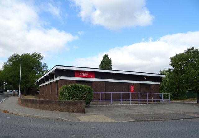
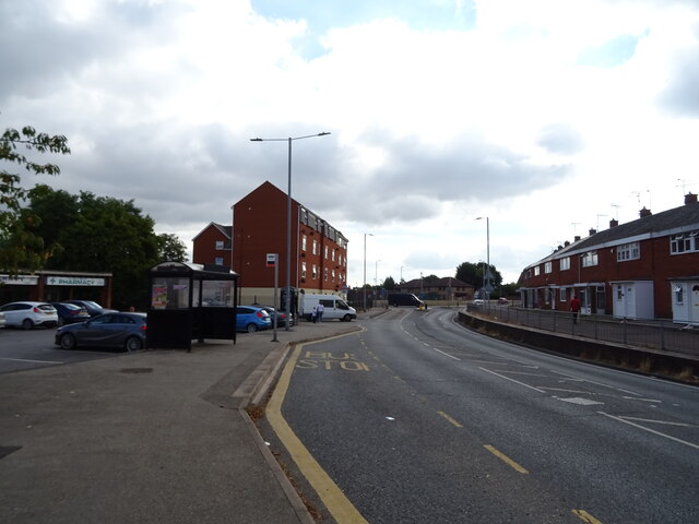
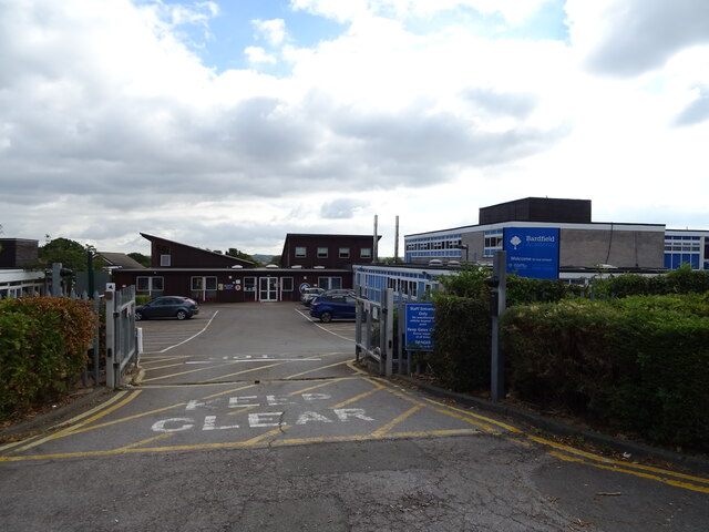
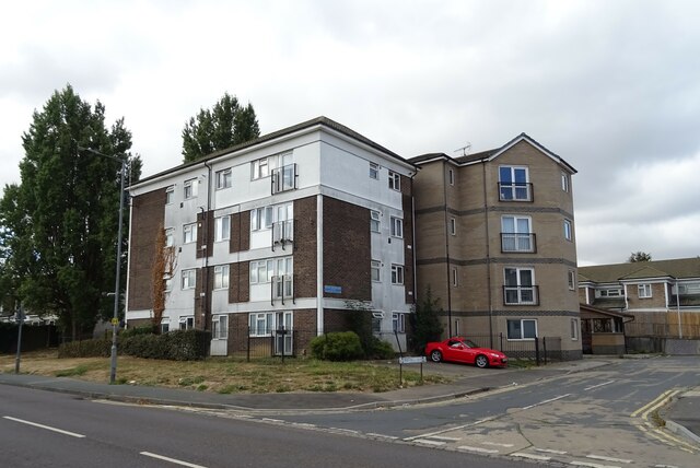
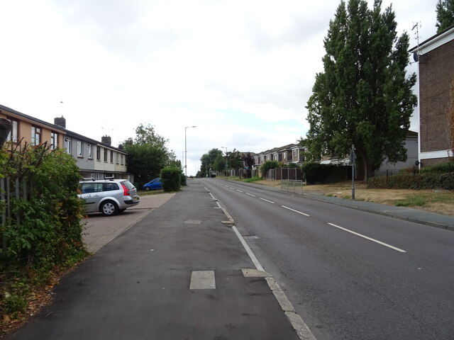
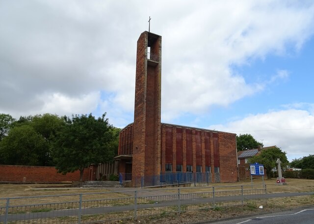
Vange Images
Images are sourced within 2km of 51.560109/0.48710427 or Grid Reference TQ7287. Thanks to Geograph Open Source API. All images are credited.
Vange is located at Grid Ref: TQ7287 (Lat: 51.560109, Lng: 0.48710427)
Administrative County: Essex
District: Basildon
Police Authority: Essex
What 3 Words
///inform.glare.overnight. Near Pitsea, Essex
Nearby Locations
Related Wikis
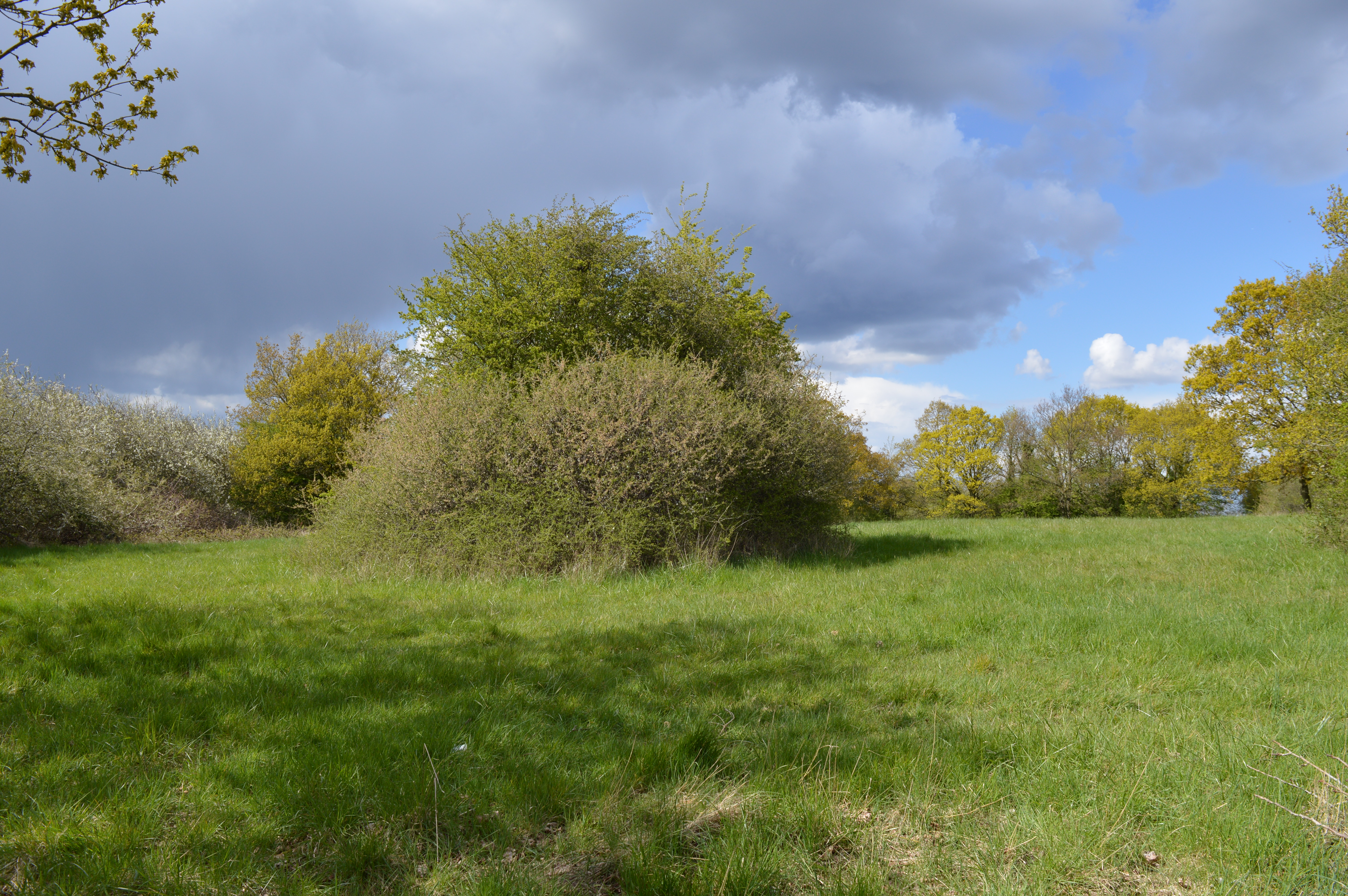
Vange Hill
Vange Hill is an 11.5 hectare Local Nature Reserve in Vange, a suburb of Basildon in Essex. It is owned and managed by Basildon Borough Council.The site...

All Saints Church, Vange
All Saints Church is a redundant Anglican church in the former village of Vange, now part of the town of Basildon, Essex, England. It is recorded in the...

Pitsea railway station
Pitsea railway station is on the London, Tilbury and Southend line, serving the small town of Pitsea in the borough of Basildon, Essex. It is situated...

Pitsea waste management site
Pitsea waste management site is a large landfill site on the north side of the Thames estuary 0.7 miles (1.1 km) from Pitsea in Basildon, Essex. It is...
Nearby Amenities
Located within 500m of 51.560109,0.48710427Have you been to Vange?
Leave your review of Vange below (or comments, questions and feedback).