Upper Weybread
Settlement in Suffolk Mid Suffolk
England
Upper Weybread

Upper Weybread is a small village located in the county of Suffolk, in eastern England. Situated in the Waveney Valley, it is part of the Waveney district and lies approximately 5 miles north of the town of Harleston.
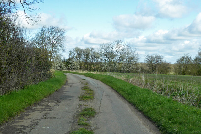
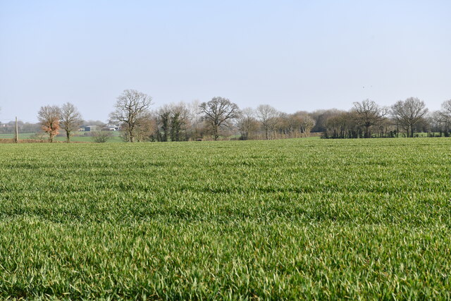
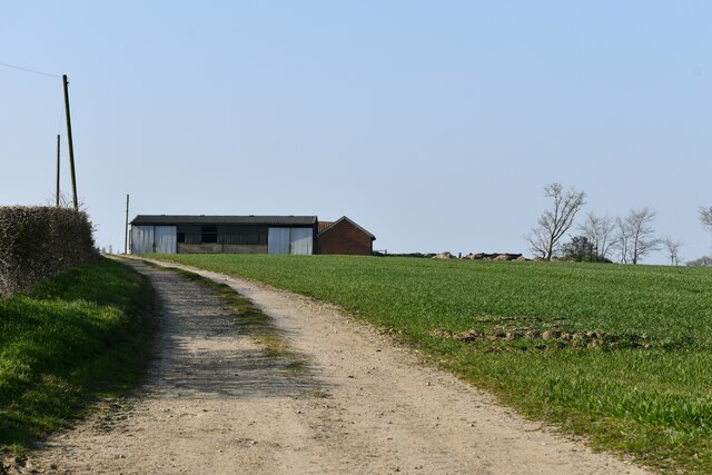
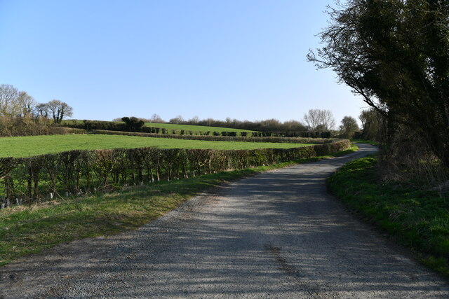
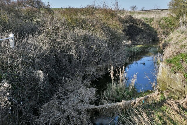
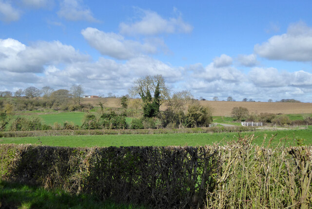
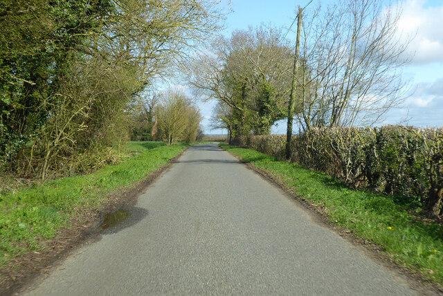
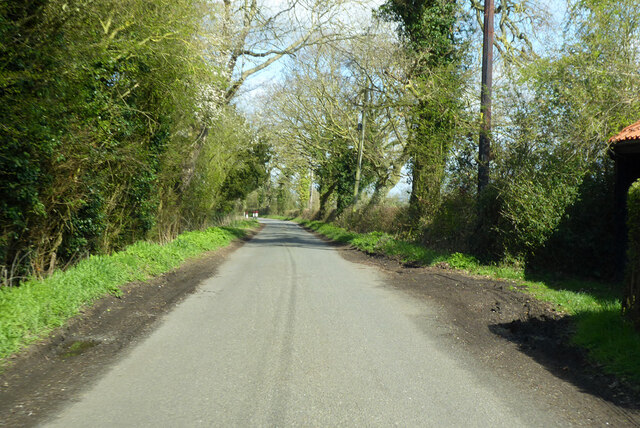
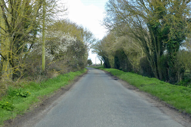
The village is characterized by its picturesque rural setting, with rolling countryside, lush green fields, and charming farmhouses. It is surrounded by the natural beauty of the Suffolk landscape, offering residents and visitors opportunities for outdoor activities such as walking, cycling, and exploring the countryside.
Upper Weybread is a close-knit community with a small population, fostering a friendly and welcoming atmosphere. The village is primarily residential, with a mix of traditional cottages and modern houses. There are limited amenities within the village itself, but the nearby town of Harleston provides a range of services including shops, schools, and healthcare facilities.
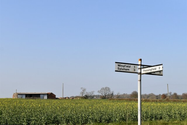
The area is well-connected by road, with the A143 passing close by, providing easy access to neighboring towns and cities. The village also benefits from its proximity to the Norfolk border, allowing residents to explore the attractions of both counties.
Overall, Upper Weybread offers a peaceful and idyllic countryside living experience, with its natural beauty, community spirit, and convenient location. It is an ideal place for those seeking a tranquil rural lifestyle while still being within reach of larger towns and cities.
If you have any feedback on the listing, please let us know in the comments section below.
Upper Weybread Images
Images are sourced within 2km of 52.369132/1.272715 or Grid Reference TM2279. Thanks to Geograph Open Source API. All images are credited.


Upper Weybread is located at Grid Ref: TM2279 (Lat: 52.369132, Lng: 1.272715)
Administrative County: Suffolk
District: Mid Suffolk
Police Authority: Suffolk
What 3 Words
///slopes.dizzy.poses. Near Harleston, Norfolk
Nearby Locations
Related Wikis

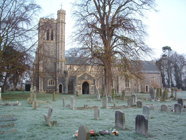
Weybread
Weybread is a village in Suffolk, England. The population of the village at the 2011 Census was 432.Its church, St. Andrew's, is one of 38 existing round...
Brockdish
Brockdish is a village and civil parish in the South Norfolk district of Norfolk, England. The village is situated on the River Waveney (south of which...

Needham, Norfolk
Needham is a small village in Norfolk, England. It covers an area of 4.69 km2 (1.81 sq mi) and had a population of 310 in 129 households at the 2001 census...

Syleham Windmill
Syleham Windmill was a Grade II listed post mill at Syleham, Suffolk, England which was built in 1730 at Wingfield and moved to Syleham in 1823. It was...
Nearby Amenities
Located within 500m of 52.369132,1.272715Have you been to Upper Weybread?
Leave your review of Upper Weybread below (or comments, questions and feedback).