Upper Weston
Settlement in Somerset
England
Upper Weston
The requested URL returned error: 429 Too Many Requests
If you have any feedback on the listing, please let us know in the comments section below.
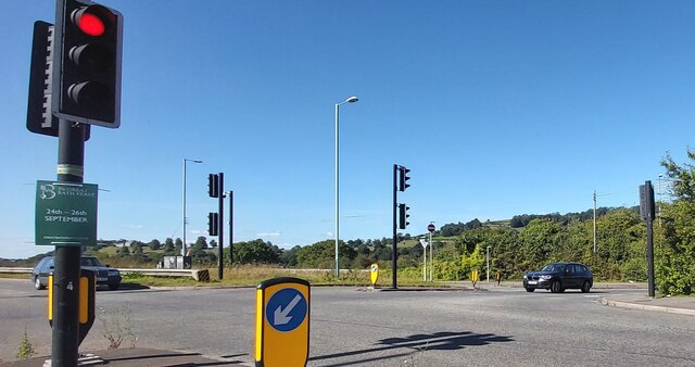
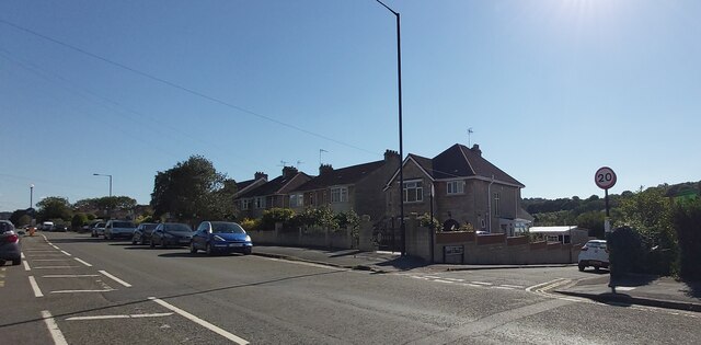
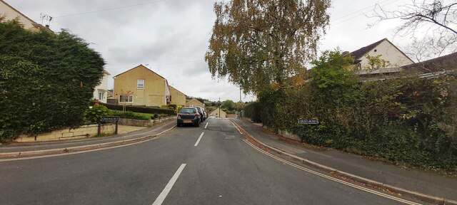
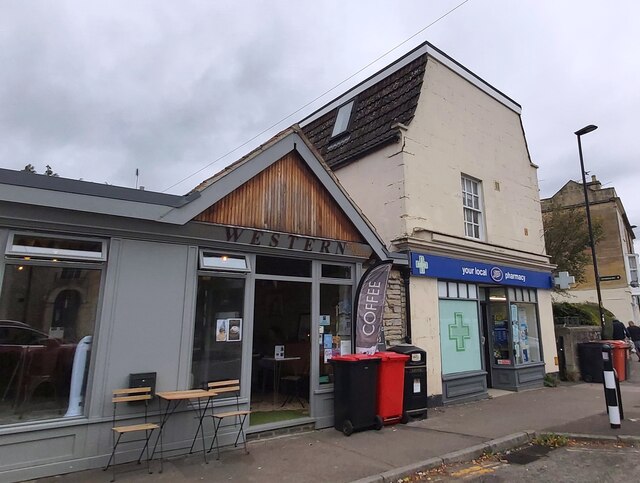
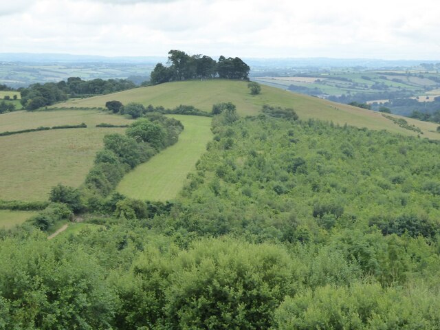
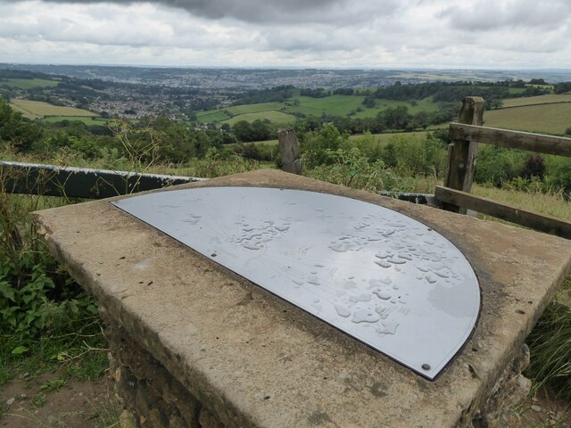
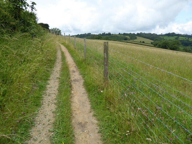
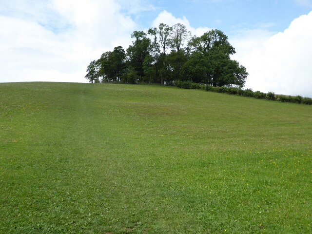
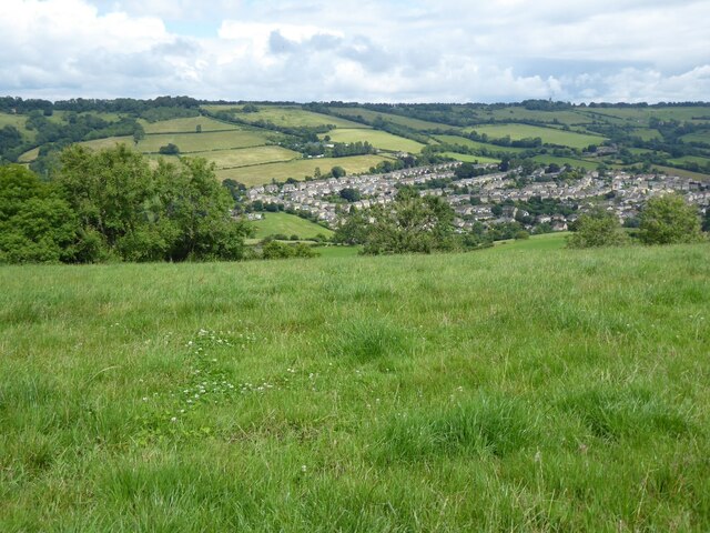
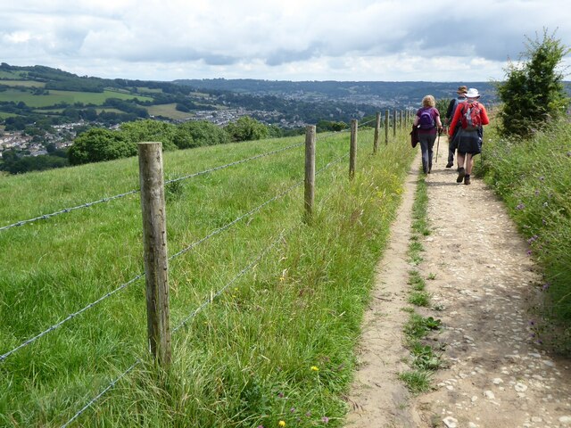
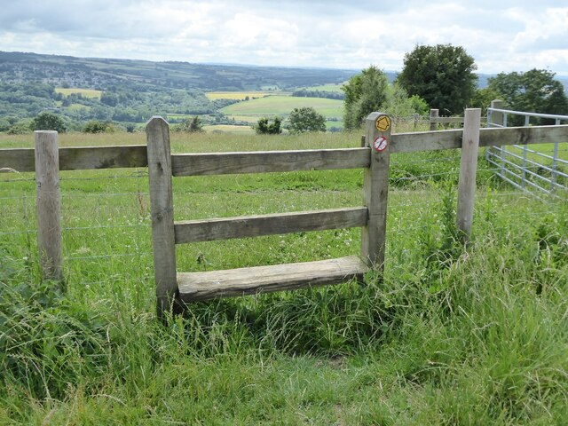
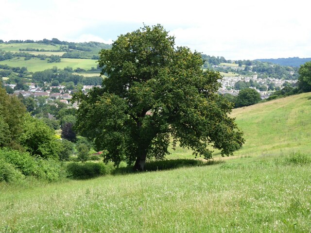
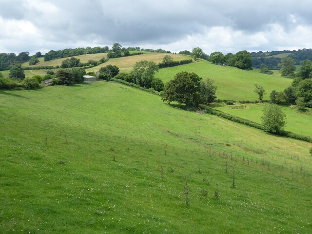
Upper Weston Images
Images are sourced within 2km of 51.403051/-2.3960015 or Grid Reference ST7267. Thanks to Geograph Open Source API. All images are credited.

Upper Weston is located at Grid Ref: ST7267 (Lat: 51.403051, Lng: -2.3960015)
Unitary Authority: Bath and North East Somerset
Police Authority: Avon and Somerset
What 3 Words
///suffice.host.swaps. Near Corston, Somerset
Nearby Locations
Related Wikis

Weston, Bath
Weston is a suburb and electoral ward of Bath in Bath and North East Somerset, South West England, located in the northwest of the city. Originally a separate...

All Saints' Church, Weston, Somerset
All Saints' Church is a Church of England parish church which stands on a hill at the centre of Weston, a small village on the outskirts of Bath, England...

Beckford's Tower
Beckford's Tower, originally known as Lansdown Tower, is an architectural folly built in neo-classical style on Lansdown Hill, just outside Bath, Somerset...

Oldfield School
Oldfield School is a secondary school, with a small sixth form, in Newbridge, Bath, England. Since February 2011, the school has had academy status, meaning...
Nearby Amenities
Located within 500m of 51.403051,-2.3960015Have you been to Upper Weston?
Leave your review of Upper Weston below (or comments, questions and feedback).