Bowley Lane

Settlement in Herefordshire

England

Bowley Lane

The detached tower at Bosbury
The detached tower at Bosbury Credit: mym

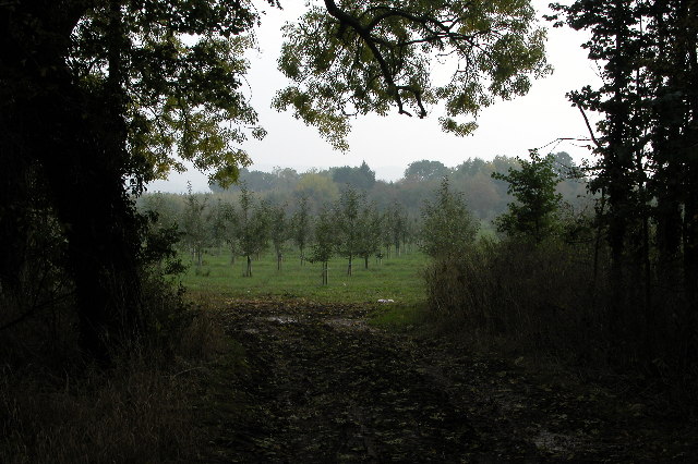
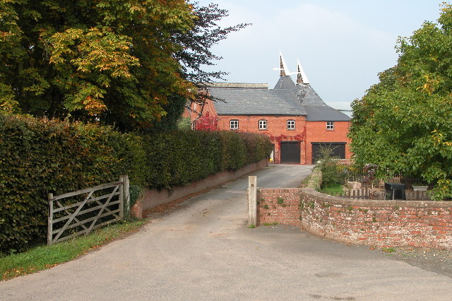
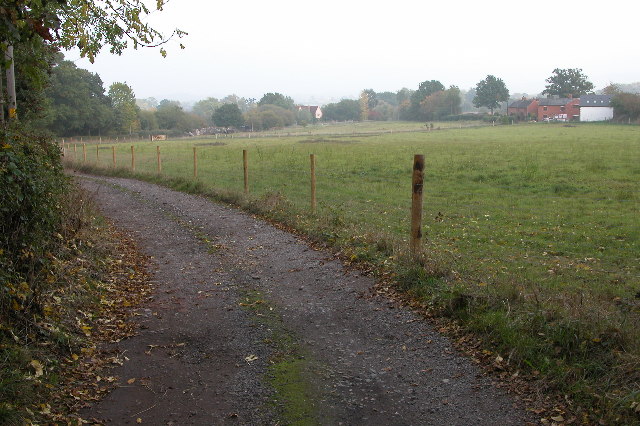
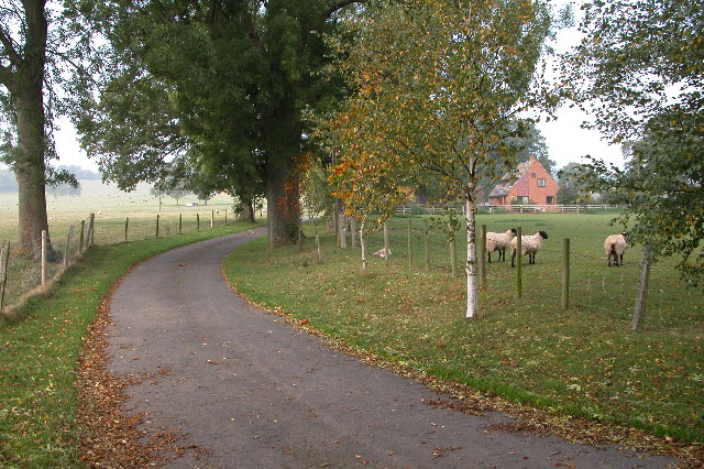
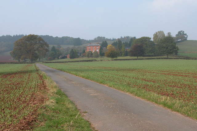
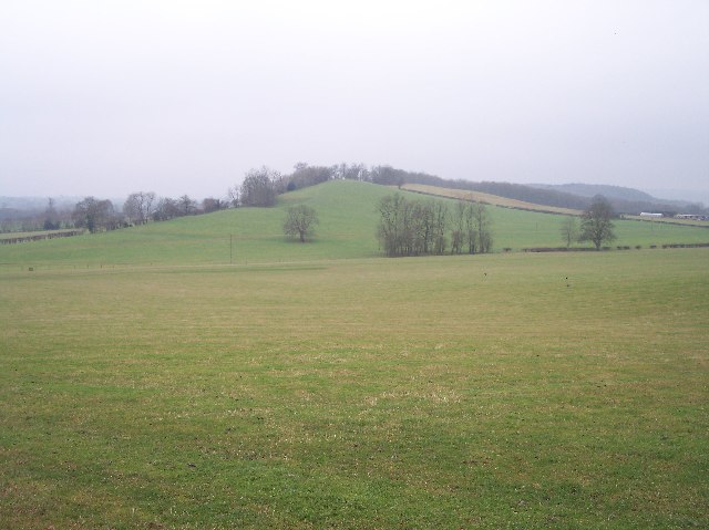
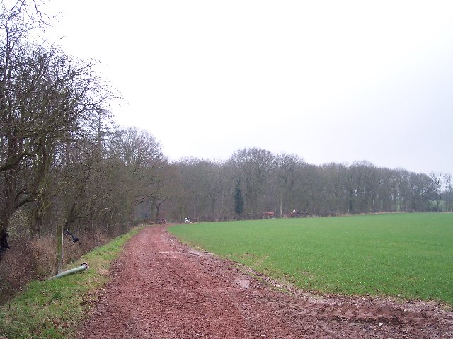
Bowley Lane is a small rural lane located in Herefordshire, England. Lined with picturesque fields and hedgerows, this peaceful lane offers a glimpse into the idyllic countryside of the region. The lane is primarily used by local residents and farmers, with minimal traffic passing through.

Surrounded by rolling hills and meadows, Bowley Lane provides a tranquil setting for those looking to escape the hustle and bustle of city life. The lane is flanked by traditional stone walls and old oak trees, adding to its charm and character.

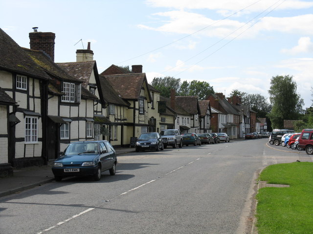
Although Bowley Lane is a quiet and secluded spot, it is within easy reach of the nearby villages and towns, making it a convenient location for those looking to explore the surrounding area. The lane is also a popular route for walkers and cyclists, offering stunning views of the Herefordshire countryside.

Overall, Bowley Lane is a hidden gem in the heart of Herefordshire, offering visitors a peaceful retreat in a beautiful natural setting.

If you have any feedback on the listing, please let us know in the comments section below.
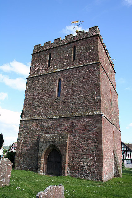
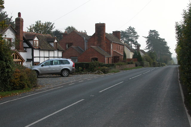
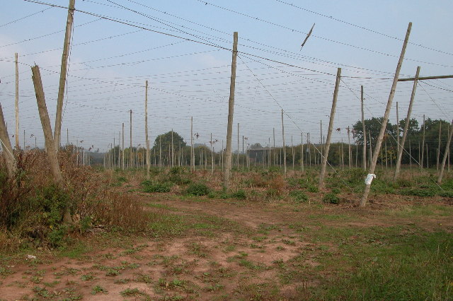
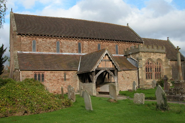
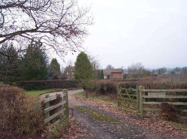
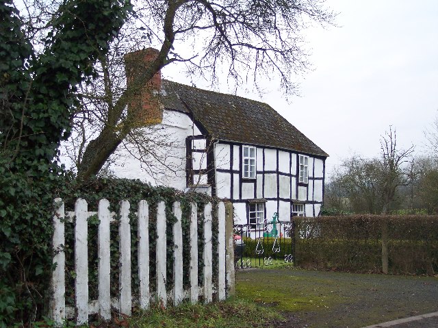
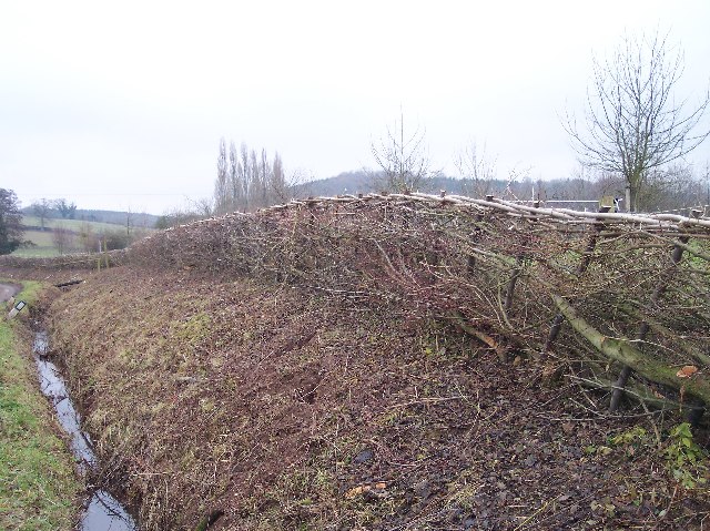
Bowley Lane Images

Images are sourced within 2km of 52.084421/-2.468409 or Grid Reference SO6843. Thanks to Geograph Open Source API. All images are credited.

The detached tower at Bosbury
Staplow Staplow is a small hamlet on the B4214, north of Ledbury
Staplow
Staplow is a small hamlet on the B4214, north of Ledbury
Apple Orchard near Staplow This apple orchard is beside the B4214 just north of Staplow.
Apple Orchard near Staplow
This apple orchard is beside the B4214 just north of Staplow.
Hop field at Cold Green Hop fields such as this are a common sight in Herefordshire.
Hop field at Cold Green
Hop fields such as this are a common sight in Herefordshire.
Hop kilns at Coldgreen Farm
Track to Swinmore Common
Driveway leading to Upleadon Farm
Upleadon Court near Ashperton Near Ashperton there is an Upleadon Court and Upleadon Farm, no where near the village of Upleadon which is in Gloucestershire. The court in this picture is in grid square SO6642, however, the photograph is taken from the bottom of the drive which is in the neighbouring grid square.
Upleadon Court near Ashperton
Near Ashperton there is an Upleadon Court and Upleadon Farm, no where near the village of Upleadon which is in Gloucestershire. The court in this picture is in grid square SO6642, however, the photograph is taken from the bottom of the drive which is in the neighbouring grid square.
Old barns at Catley Farms, Bosbury
Holy Trinity Church, Bosbury The church is unusual in that the tower is detached from the church. Pevsner describes the church as being 'A large and consistent church of the transition between Norman and Early English'.
Holy Trinity Church, Bosbury
The church is unusual in that the tower is detached from the church. Pevsner describes the church as being 'A large and consistent church of the transition between Norman and Early English'.
Sugarcroft Viewed from the east.
Sugarcroft
Viewed from the east.
Long Acre With an old orchard with possibly more mistletoe than apples.
Long Acre
With an old orchard with possibly more mistletoe than apples.
Newly-Laid Hedge, Catley Farms Just recently laid. The cuttings were still piled up by the roadside.
Newly-Laid Hedge, Catley Farms
Just recently laid. The cuttings were still piled up by the roadside.
Un-named Knoll near Redcastle Farm Viewed from the side of Gold Hill looking SW across pasture.
Un-named Knoll near Redcastle Farm
Viewed from the side of Gold Hill looking SW across pasture.
Highlea Wood Looking SE along the access track.
Highlea Wood
Looking SE along the access track.
Old Buildings, Great Catley Ripe for conversion ? a nice mixture of stone, brick and timber.
Old Buildings, Great Catley
Ripe for conversion ? a nice mixture of stone, brick and timber.
Great Catley Mixture of half-timbered front with a brick side.
Great Catley
Mixture of half-timbered front with a brick side.
Edge of Childer Wood Looking NNW along the edge of the wood.
Edge of Childer Wood
Looking NNW along the edge of the wood.
Show me another place!

Bowley Lane is located at Grid Ref: SO6843 (Lat: 52.084421, Lng: -2.468409)

Unitary Authority: County of Herefordshire

Police Authority: West Mercia

What 3 Words

///persuade.bulbs.guides. Near Evesbatch, Herefordshire

Nearby Locations

Bowley Lane

Related Wikis

Upleadon Preceptory

Upleadon Preceptory was a priory in Herefordshire, England at grid reference SO66504270. == References ==

Bosbury

Bosbury is a village and civil parish in Herefordshire, England, approximately 3.5 miles (5.6 km) north of Ledbury. The small River Leadon flows through...

Munsley

Munsley is a village and civil parish 9 miles (14 km) east of Hereford, in the county of Herefordshire, England. In 2001 the parish had a population of...

Fromes Hill

Fromes Hill is a hamlet in the civil parish of Bishop's Frome, in Herefordshire, England, and is about 15 miles (24 km) east from the city and county town...

Related Videos

Handiscoop System with Flexi lead

HandiScoop - a multi-poop picking pooper scooper, available from Handiscoop.com and Pet retail stores, was invented over 12 ...

Driving On The B4220 & B4214 From Cradley To Ledbury, Herefordshire, UK 13th December 2017

Driving in the dark along the B4220 & B4214 from Cradley, Worcestershire through Bosbury & Staplow (with a brief stop at ...

Driving Along The B4220 & B4214 From Cradley To Ledbury, Herefordshire 4th March 2011

Driving along the B4220 & B4214 from Cradley to Ledbury, Herefordshire, England Videoed on Friday, 4th March 2011 Playlist: ...

Nearby Amenities

Located within 500m of 52.084421,-2.468409
Power: pole
Lat/Long: 52.0852157/-2.4635232
Power: pole
Lat/Long: 52.0813413/-2.4640928
Power: pole
Lat/Long: 52.0818759/-2.4641971
Power: pole
Lat/Long: 52.0816456/-2.4627084
Power: pole
Lat/Long: 52.0822831/-2.4639711
Power: pole
Lat/Long: 52.0824516/-2.4643037
Power: pole
Lat/Long: 52.0831628/-2.4641065
Power: pole
Lat/Long: 52.0837677/-2.4624757
Power: pole
Lat/Long: 52.083865/-2.4638886
Power: pole
Lat/Long: 52.0845564/-2.4637069
Stanley House
Power: pole
Transformer: distribution
Voltage Primary: 11000
Lat/Long: 52.0858898/-2.4633247
Location Transition: yes
Power: pole
Lat/Long: 52.0864687/-2.4631825
The data included in this document is from www.openstreetmap.org. The data is made available under ODbL.

Have you been to Bowley Lane?

Leave your review of Bowley Lane below (or comments, questions and feedback).