Bowley

Settlement in Herefordshire

England

Bowley

Brockington Hall Golf Club The tea-rooms at the entrance to the golf club.
Brockington Hall Golf Club Credit: Eirian Evans

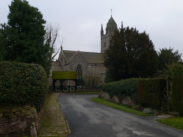
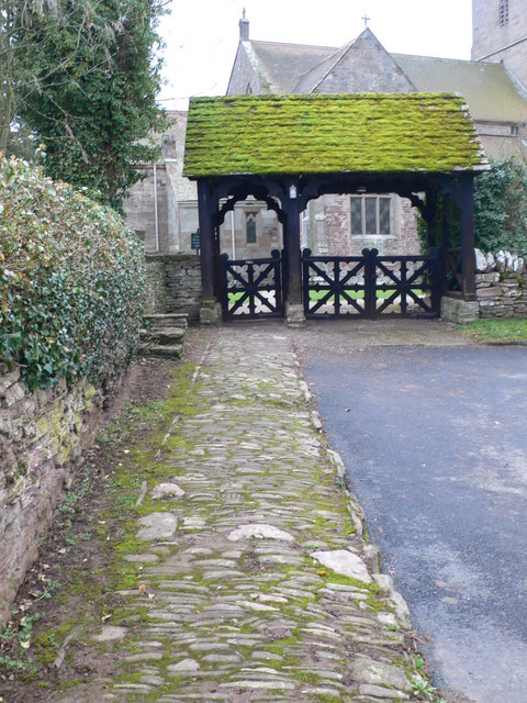
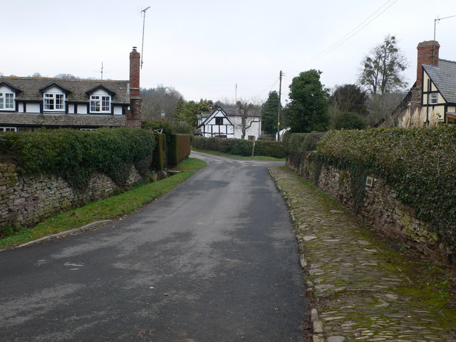
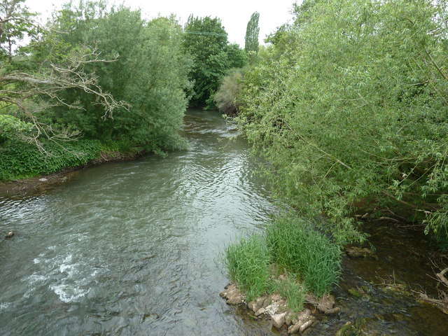
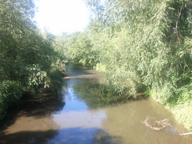
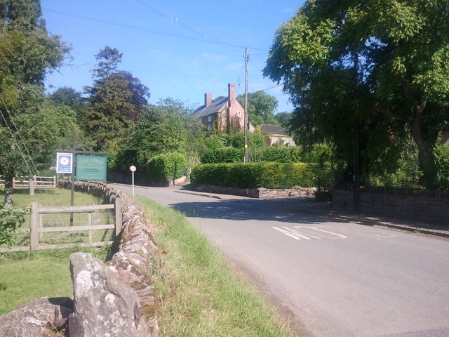
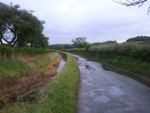
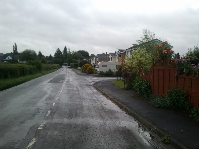
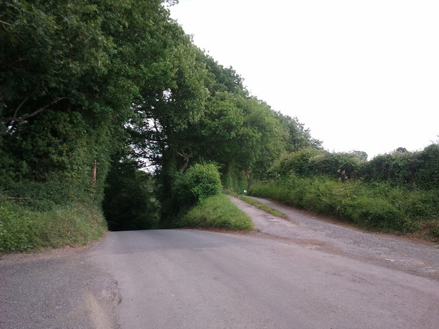
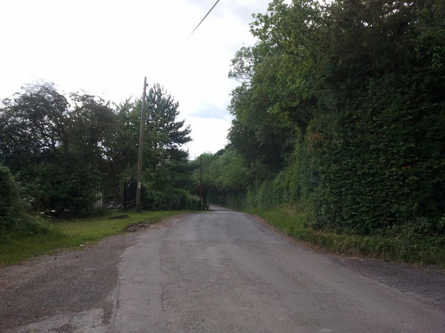
Bowley is a small village located in Herefordshire, England. It sits on the eastern bank of the River Wye, with stunning views of the surrounding countryside. The village is characterized by its picturesque landscape of rolling hills, lush green fields, and charming stone cottages.

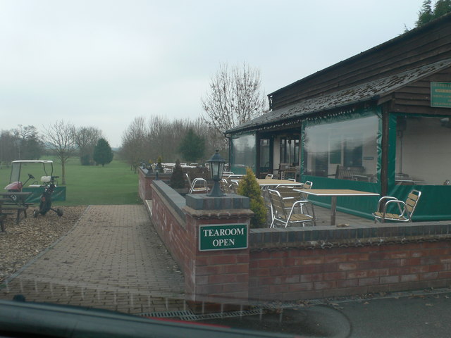
Bowley is a quiet and peaceful community, ideal for those seeking a tranquil rural lifestyle. The village is home to a close-knit population of residents who take pride in their tight-knit community. There are a few local amenities in Bowley, including a village hall and a small pub, providing a sense of community for its residents.

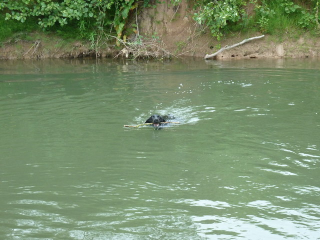
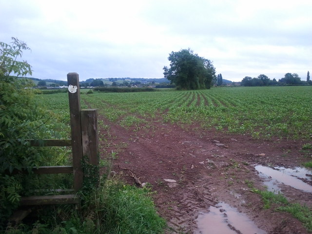
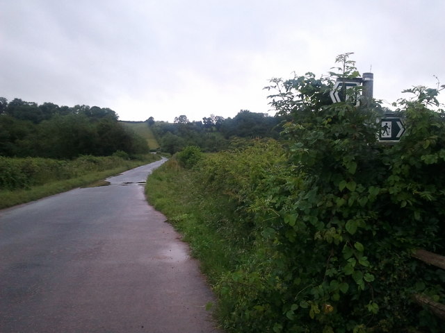
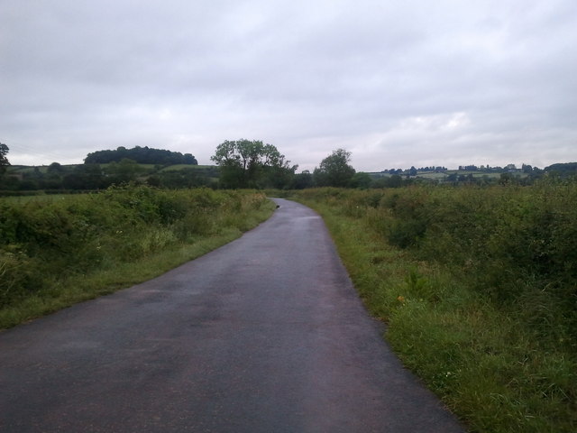
The surrounding area offers plenty of opportunities for outdoor activities, such as hiking, cycling, and fishing in the River Wye. The nearby Herefordshire countryside is also known for its abundance of wildlife and scenic walking trails.

Overall, Bowley is a quintessential English village, perfect for those looking to escape the hustle and bustle of city life and enjoy the beauty of the Herefordshire countryside.

If you have any feedback on the listing, please let us know in the comments section below.
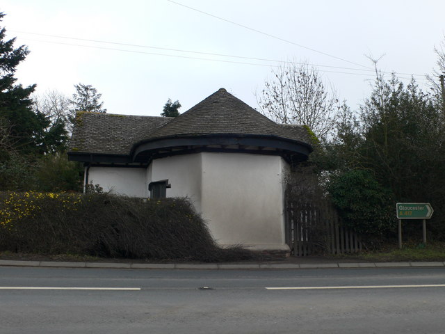
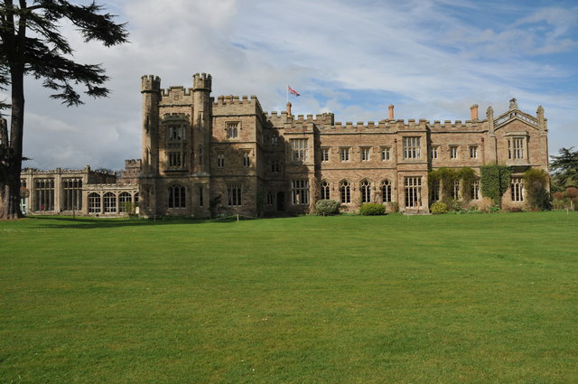
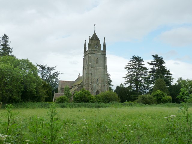
Bowley Images

Images are sourced within 2km of 52.164341/-2.6739264 or Grid Reference SO5452. Thanks to Geograph Open Source API. All images are credited.

Brockington Hall Golf Club The tea-rooms at the entrance to the golf club.
Brockington Hall Golf Club
The tea-rooms at the entrance to the golf club.
St Michael & All Angels, Bodenham The parish church of St Michael and All Angels at Bodenham is set in a beautiful location beside the peaceful River Lugg. The church is primarily 14th century, in the Decorated Gothic style. The church consists of a chancel, a 3-bay nave with clerestory, south and north aisles, and a solid west tower on a square plan topped by a truncated lantern spire.
St Michael & All Angels, Bodenham
The parish church of St Michael and All Angels at Bodenham is set in a beautiful location beside the peaceful River Lugg. The church is primarily 14th century, in the Decorated Gothic style. The church consists of a chancel, a 3-bay nave with clerestory, south and north aisles, and a solid west tower on a square plan topped by a truncated lantern spire.
Path to St Michael's  Ancient stone pavement leading to St Michael's & All Angels, Bodenham
Path to St Michael's
Ancient stone pavement leading to St Michael's & All Angels, Bodenham
Bodenham, Church Lane Looking back towards the village from the church.
Bodenham, Church Lane
Looking back towards the village from the church.
Former toll house on the A417 near Saffron's Cross
Hampton Court Hampton Court is situated in the Lugg valley below the Dinmore woods.
Hampton Court
Hampton Court is situated in the Lugg valley below the Dinmore woods.
St Michael's and All Angels church Bodenham
River Lugg at Bodenham
Doggy paddling in the River Lugg
River Lugg viewed from Bodenham Bridge
House at Bodenham, viewed from the bridge
Lane and drain at Bodenham, looking west
Houses in Bodenham, looking east towards England's Gate
Very wet public footpath near Bodenham
Footpath crossing lane, near Bodenham
Lane near Bodenham
Lane near Bodenham
Steep hill to the left, bridleway to the right
Lane to Marden
Lane to Marden
Show me another place!

Bowley is located at Grid Ref: SO5452 (Lat: 52.164341, Lng: -2.6739264)

Unitary Authority: County of Herefordshire

Police Authority: West Mercia

What 3 Words

///teaches.cyber.microchip. Near Bodenham, Herefordshire

Nearby Locations

Bowley Dorlas Coppice

Related Wikis

Bodenham

Bodenham is a village and civil parish in Herefordshire, England, and on a bend in the River Lugg, about seven miles south of Leominster. According to...

Hampton Court Castle

Hampton Court Castle, also known as Hampton Court, is a castellated country house in the English county of Herefordshire. The house is in the parish of...
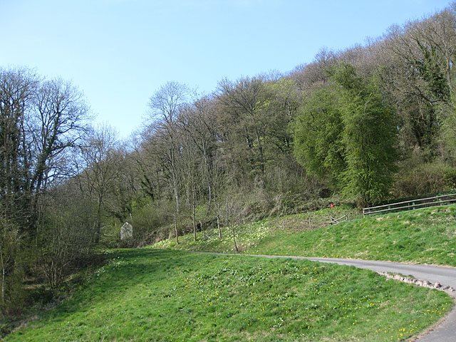
Dinmore Hill

Dinmore Hill rises steeply above the River Lugg in Herefordshire, England and is effectively the prominent eastern ridge of an area of high ground which...

Dinmore railway station (England)

Dinmore railway station served the villages of Bodenham and Hope under Dinmore, Herefordshire, England between 1853 and 1958. == History == The main line...

Related Videos

Hampton Court Castle 🏰 Sunday 8th August 2021.

Shot in 4K using Samsung Galaxy Note 20 Ultra.

Englands Gate, Bodenham - GlassHouse Properties - 4K - Video Tour

Englands Field, Bodenham, Hereford, HR1 3JL An Executive Detached 4 Double Bedroom Family Home, spacious and superbly ...

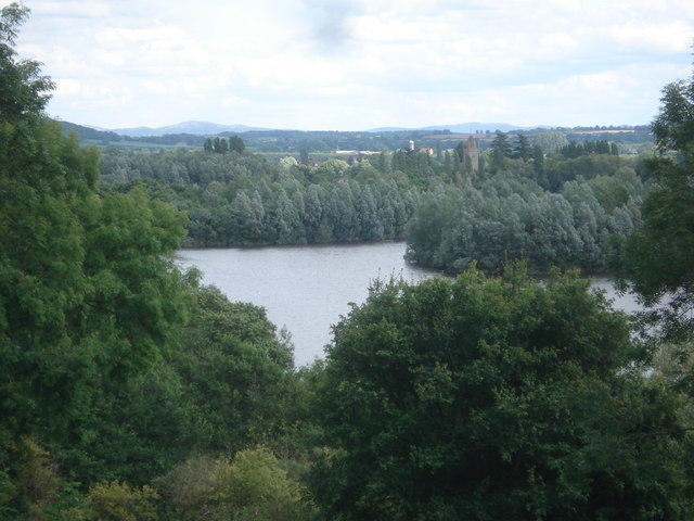
Bodenham Lake and Kenchester water gardens

Today we went to visit Bodenham Lake even though the weather wasn't good and on the way back home we stopped at ...

Nearby Amenities

Located within 500m of 52.164341,-2.6739264
Bus Stop
Saffron's Cross
Naptan AtcoCode: 2090A107600
Naptan Bearing: NE
Naptan BusStopType: CUS
Naptan CommonName: Saffron's Cross
Naptan Indicator: Junction with A417
Naptan Landmark: Garage
Naptan NaptanCode: heradmpw
Naptan Street: N/K
Naptan Verified: no
Source: naptan_import
Lat/Long: 52.1617046/-2.6733355
Bus Stop
Saffron's Cross
Naptan AtcoCode: 2090A18615
Naptan Bearing: SW
Naptan BusStopType: CUS
Naptan CommonName: Saffron's Cross
Naptan Indicator: adj Junction with A417
Naptan Landmark: Garage
Naptan NaptanCode: heragwpj
Naptan Street: N/K
Naptan Verified: no
Source: naptan_import
Lat/Long: 52.1616491/-2.6732938
Power: pole
Lat/Long: 52.1657554/-2.6792195
Power: pole
Lat/Long: 52.1636695/-2.6803099
Power: pole
Lat/Long: 52.1647061/-2.6797466
Power: pole
Lat/Long: 52.1673614/-2.6783411
Saffron's Cross
Place: hamlet
Lat/Long: 52.1615565/-2.6723821
Isle of Rhea
Place: locality
Lat/Long: 52.164347/-2.6736613
The data included in this document is from www.openstreetmap.org. The data is made available under ODbL.

Have you been to Bowley?

Leave your review of Bowley below (or comments, questions and feedback).