Bowismiln
Settlement in Roxburghshire
Scotland
Bowismiln
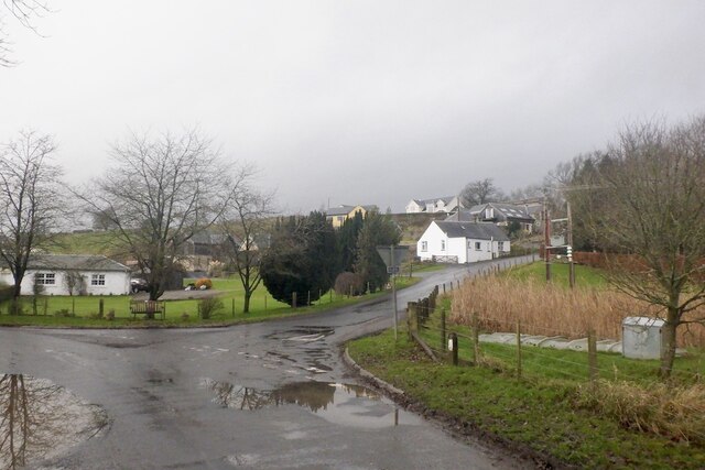
Bowismiln is a small village located in the historic county of Roxburghshire, in the Scottish Borders region of Scotland. Situated amidst picturesque countryside, it lies about 7 miles southeast of the town of Hawick.
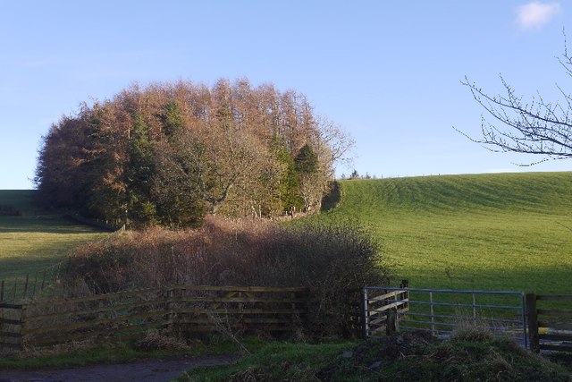
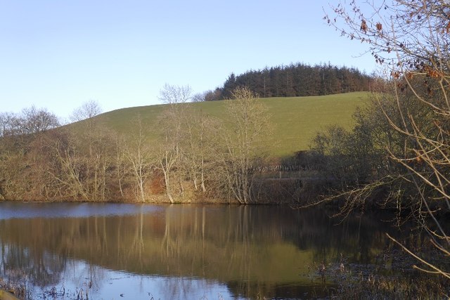
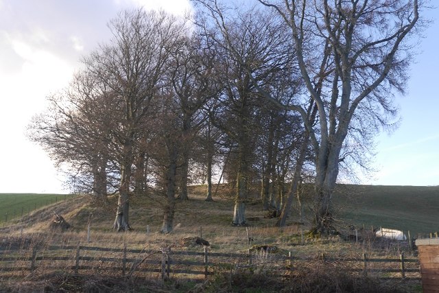
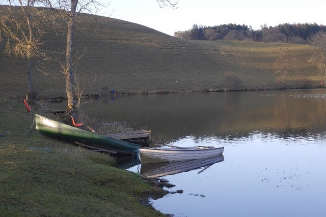
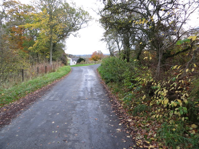
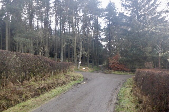
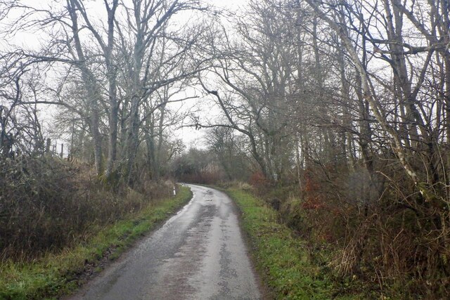
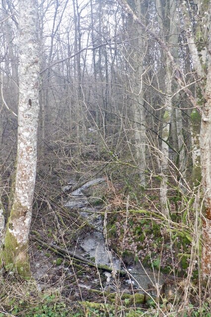
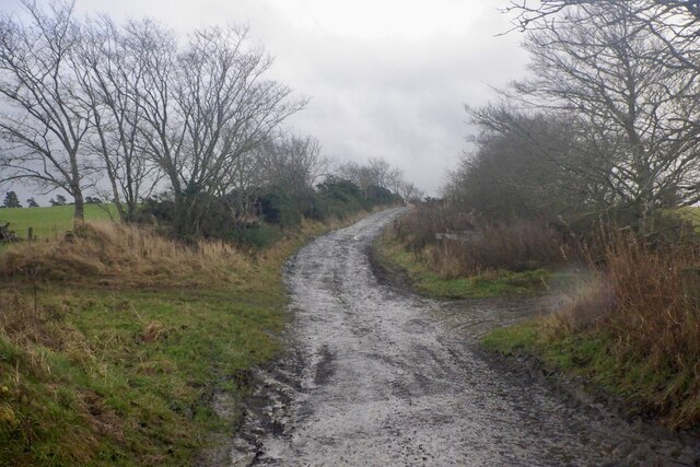
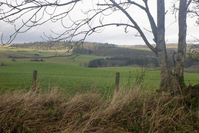
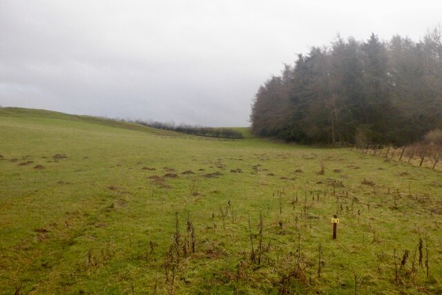
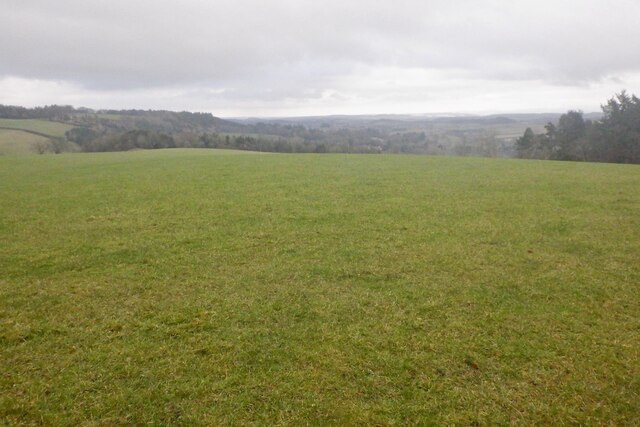
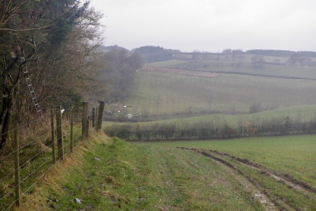
The village is characterized by its tranquil and scenic surroundings, with rolling hills, lush green fields, and the meandering Bowismiln Burn, which flows through the area. The nearby Teviothead Forest adds to the natural beauty of the region, providing ample opportunities for walking, hiking, and exploring nature.
Despite its small size, Bowismiln is known for its close-knit community and friendly atmosphere. The village is home to a small number of residents, who enjoy a peaceful rural lifestyle. The local community often comes together for various events and activities, fostering a sense of community spirit.
Historically, Bowismiln was primarily an agricultural settlement, with farming being the main occupation of its inhabitants. While farming still plays a role in the local economy, the village has also seen some diversification with the growth of small businesses and tourism-related activities.
Although Bowismiln does not have many amenities of its own, the nearby town of Hawick offers a range of services, including shops, schools, healthcare facilities, and leisure activities. The village is well-connected to the rest of Roxburghshire and the Scottish Borders via a network of roads, making it easily accessible.
In summary, Bowismiln is a charming rural village with a strong sense of community. Its idyllic location, friendly residents, and proximity to amenities make it an attractive place to live for those seeking a peaceful countryside lifestyle.
If you have any feedback on the listing, please let us know in the comments section below.
Bowismiln Images
Images are sourced within 2km of 55.498213/-2.7930126 or Grid Reference NT5023. Thanks to Geograph Open Source API. All images are credited.


Bowismiln is located at Grid Ref: NT5023 (Lat: 55.498213, Lng: -2.7930126)
Unitary Authority: The Scottish Borders
Police Authority: The Lothians and Scottish Borders
What 3 Words
///rainbow.apparatus.raking. Near Selkirk, Scottish Borders
Nearby Locations
Related Wikis

Bowismiln
Bowismiln is a village in the Scottish Borders area of Scotland. == See also == List of places in the Scottish Borders List of places in Scotland ��2...
Woll
Woll is a village on the Ale Water, off the A7, in the Ettrick Forest, north of Hawick, and south of Selkirk in the Scottish Borders area of Scotland....

Ashkirk
Ashkirk is a small village on the Ale Water, in the Scottish Borders area of Scotland. It is located just off the A7 road, approximately 6 miles (10 kilometres...

Lilliesleaf
Lilliesleaf is a small village and civil parish 7 miles (11 km) south east of Selkirk in the Roxburghshire area of Scottish Borders of Scotland. Other...
Lothian and Borders
Lothian and Borders is an area in Scotland consisting of the East Lothian, City of Edinburgh, Midlothian, West Lothian council areas (collectively known...
Salenside
Salenside is a village off the A7, on the Ale Water, near Ashkirk, in the Scottish Borders area of Scotland, in the former Selkirkshire. There was a Salenside...

Hassendean, Scottish Borders
Hassendean is a hamlet in the Scottish Borders south of Edinburgh, Scotland. The stream is the Hassendean Burn which flows down to the River Teviot five...

Hassendean railway station
Hassendean railway station served the village of Hassendean, Scottish Borders, Scotland from 1850 to 1969 on the Waverley Route. == History == The station...
Nearby Amenities
Located within 500m of 55.498213,-2.7930126Have you been to Bowismiln?
Leave your review of Bowismiln below (or comments, questions and feedback).