Boosmill Hill

Hill, Mountain in Roxburghshire

Scotland

Boosmill Hill

A horse reflection at Riddell A large pond formed in this horse field after periods of heavy rain. I walked by here two days previously and there was no lying water in the field.
A horse reflection at Riddell Credit: Walter Baxter

Boosmill Hill is a prominent hill located in Roxburghshire, a county in the Scottish Borders region of Scotland. Situated near the village of Eckford, Boosmill Hill stands at an elevation of approximately 280 meters (918 feet) above sea level.

This hill is characterized by its distinctive conical shape, which makes it a notable feature in the surrounding landscape. Covered in lush green vegetation, Boosmill Hill offers picturesque views of the rolling countryside, providing a captivating sight for both locals and visitors alike.

Boosmill Hill is a popular destination for outdoor enthusiasts and nature lovers. It offers several walking trails and paths that wind their way up to the summit, making it an ideal location for hiking and leisurely walks. As one ascends the hill, they are treated to breathtaking panoramas of the surrounding valleys, farmland, and distant hills.

The hill is also home to a diverse range of flora and fauna, with various plant species and wildlife thriving in its natural habitat. This creates an excellent opportunity for nature enthusiasts to explore and discover the region's biodiversity.

Boosmill Hill's accessibility and relatively easy ascent make it a great destination for individuals of all ages and fitness levels. Additionally, its close proximity to Eckford allows for convenient access to amenities and services.

Overall, Boosmill Hill offers a delightful outdoor experience, combining stunning views, natural beauty, and recreational opportunities, making it a must-visit location for those exploring Roxburghshire.

If you have any feedback on the listing, please let us know in the comments section below.

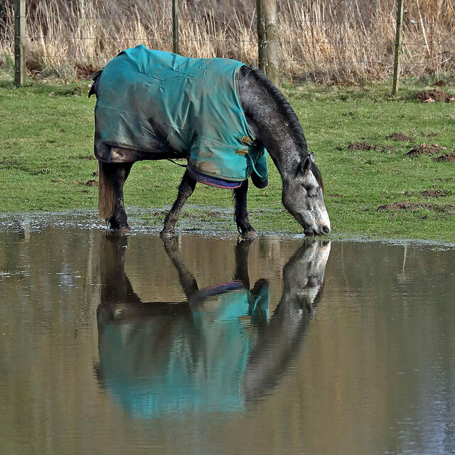
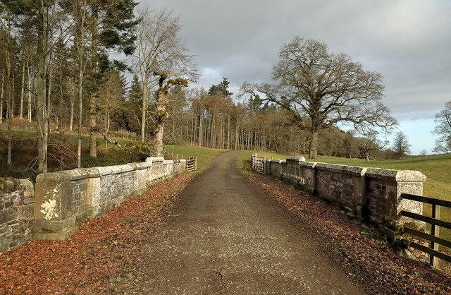
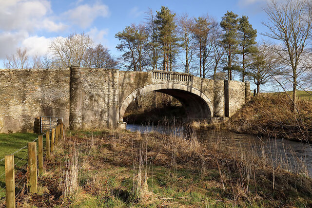
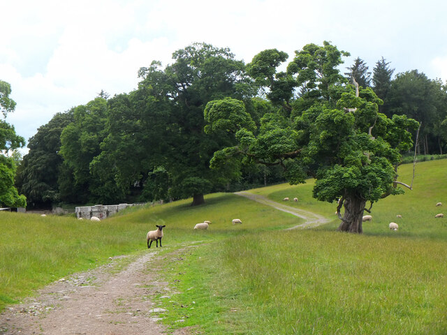
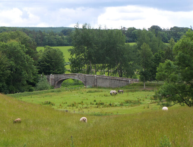
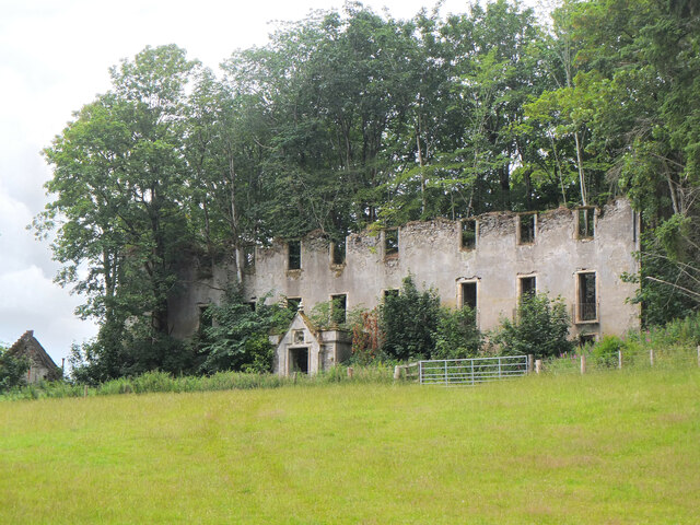
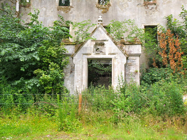
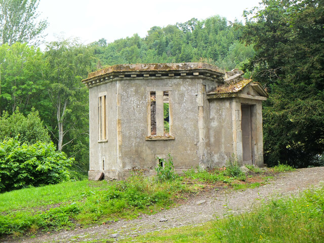
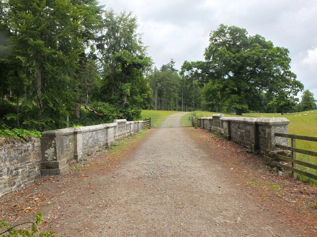
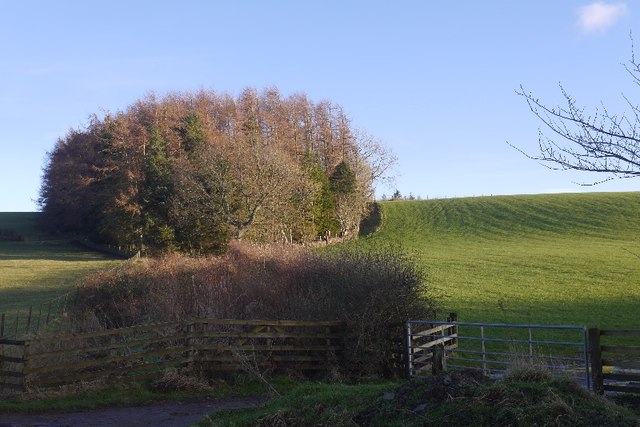
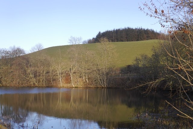
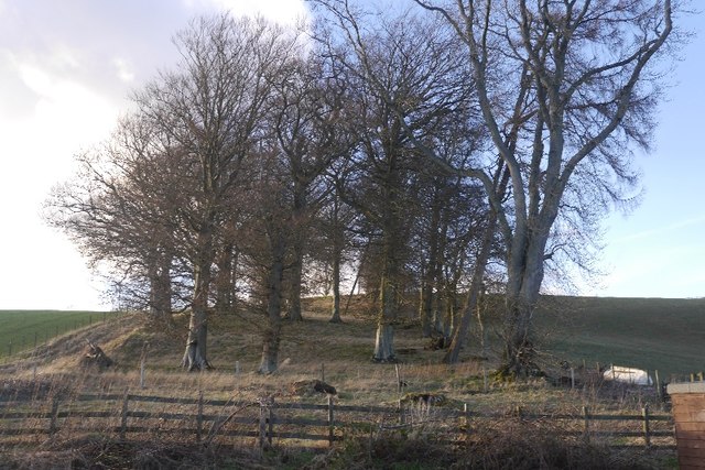
Boosmill Hill Images

Images are sourced within 2km of 55.502328/-2.7889 or Grid Reference NT5023. Thanks to Geograph Open Source API. All images are credited.

A horse reflection at Riddell A large pond formed in this horse field after periods of heavy rain. I walked by here two days previously and there was no lying water in the field.
A horse reflection at Riddell
A large pond formed in this horse field after periods of heavy rain. I walked by here two days previously and there was no lying water in the field.
A farm road on the Riddell Estate This is Park Bridge which spans a small burn and culvert.
A farm road on the Riddell Estate
This is Park Bridge which spans a small burn and culvert.
Riddell South Bridge The bridge spans the Ale Water on the Riddell Estate. There is a sign at the junction of the estate road to the southeast and the B6400 warning of a maximum weight of two tonnes for this bridge.
Riddell South Bridge
The bridge spans the Ale Water on the Riddell Estate. There is a sign at the junction of the estate road to the southeast and the B6400 warning of a maximum weight of two tonnes for this bridge.
Sheep grazing near Riddell Estate land near the ruined house at Riddell. Left of centre is a stone bridge taking the track over a minor burn.
Sheep grazing near Riddell
Estate land near the ruined house at Riddell. Left of centre is a stone bridge taking the track over a minor burn.
Ale Water bridge at Riddell A handsome single arched stone bridge in the Riddell estate.
Ale Water bridge at Riddell
A handsome single arched stone bridge in the Riddell estate.
Remains of the former Riddell House The gaunt remains of the house, a roofless ruin with substantial tree growth within. The house is on the site of an old peel tower which might date back to the 14th century. The house was extended and changed over the years but burnt down in 1943 to leave this shell standing. Further details can be found on the Canmore website at <span class="nowrap"><a title="https://canmore.org.uk/site/55483/riddell" rel="nofollow ugc noopener" href="https://canmore.org.uk/site/55483/riddell">Link</a><img style="margin-left:2px;" alt="External link" title="External link - shift click to open in new window" src="https://s1.geograph.org.uk/img/external.png" width="10" height="10"/></span>
Remains of the former Riddell House
The gaunt remains of the house, a roofless ruin with substantial tree growth within. The house is on the site of an old peel tower which might date back to the 14th century. The house was extended and changed over the years but burnt down in 1943 to leave this shell standing. Further details can be found on the Canmore website at LinkExternal link
Doorway to the former Riddell House The doorway on the south side of the ruined house, destroyed by fire in 1943. It appears that a plaque or stone above the door has been removed. The ruin is of course fenced off as it is clearly in a potentially dangerous state.

For more details see the Canmore website at <span class="nowrap"><a title="https://canmore.org.uk/site/55483/riddell" rel="nofollow ugc noopener" href="https://canmore.org.uk/site/55483/riddell">Link</a><img style="margin-left:2px;" alt="External link" title="External link - shift click to open in new window" src="https://s1.geograph.org.uk/img/external.png" width="10" height="10"/></span>.
Doorway to the former Riddell House
The doorway on the south side of the ruined house, destroyed by fire in 1943. It appears that a plaque or stone above the door has been removed. The ruin is of course fenced off as it is clearly in a potentially dangerous state. For more details see the Canmore website at LinkExternal link.
Deer Larder, Riddell House According to the Canmore website at <span class="nowrap"><a title="https://canmore.org.uk/site/55483/riddell" rel="nofollow ugc noopener" href="https://canmore.org.uk/site/55483/riddell">Link</a><img style="margin-left:2px;" alt="External link" title="External link - shift click to open in new window" src="https://s1.geograph.org.uk/img/external.png" width="10" height="10"/></span> this outbuilding by the old Riddell House was a deer larder.
Deer Larder, Riddell House
According to the Canmore website at LinkExternal link this outbuilding by the old Riddell House was a deer larder.
Park Bridge, Riddell Estate A bridge taking the track from Lilliesleaf across a tributary of the Ale Water. It is referred to as Park Bridge in the Canmore website entry for Riddell House: <span class="nowrap"><a title="https://canmore.org.uk/site/55483/riddell" rel="nofollow ugc noopener" href="https://canmore.org.uk/site/55483/riddell">Link</a><img style="margin-left:2px;" alt="External link" title="External link - shift click to open in new window" src="https://s1.geograph.org.uk/img/external.png" width="10" height="10"/></span>.
Park Bridge, Riddell Estate
A bridge taking the track from Lilliesleaf across a tributary of the Ale Water. It is referred to as Park Bridge in the Canmore website entry for Riddell House: LinkExternal link.
Estate bridge over the Ale Water, Riddell A closer view of the bridge shown in <a href="https://www.geograph.org.uk/photo/7215637">NT5124 : Ale Water bridge at Riddell</a>. It is subject to a 2-ton weight limit.
Estate bridge over the Ale Water, Riddell
A closer view of the bridge shown in NT5124 : Ale Water bridge at Riddell. It is subject to a 2-ton weight limit.
Track into Riddell Estate The track meets the B6400 about 1km west of Lilliesleaf.
Track into Riddell Estate
The track meets the B6400 about 1km west of Lilliesleaf.
Great Laws Plantation
Clerklands Loch A trout fishery near Selkirk.  The loch looks well established, but you will not find it on the 1:50,000 map.
Clerklands Loch
A trout fishery near Selkirk. The loch looks well established, but you will not find it on the 1:50,000 map.
North Cringles Strip A strip wood by Clerklands Loch.
North Cringles Strip
A strip wood by Clerklands Loch.
Clerklands Loch Boats tied up for the close season.
Clerklands Loch
Boats tied up for the close season.
Flood debris, Riddell Remains of the bad flooding of December 2015.  On one day I was working adjacent to a flood wall in Hawick and the river was flowing above my feet.   It was a good wall.
Flood debris, Riddell
Remains of the bad flooding of December 2015. On one day I was working adjacent to a flood wall in Hawick and the river was flowing above my feet. It was a good wall.
Flood debris, Riddell Debris left against a hedge after December 2015's floods.
Flood debris, Riddell
Debris left against a hedge after December 2015's floods.
B6400 Near Riddell, Roxburghshire.
B6400
Near Riddell, Roxburghshire.
Show me another place!

Boosmill Hill is located at Grid Ref: NT5023 (Lat: 55.502328, Lng: -2.7889)

Unitary Authority: The Scottish Borders

Police Authority: The Lothians and Scottish Borders

What 3 Words

///girder.repeats.adverbs. Near Selkirk, Scottish Borders

Related Wikis

Nearby Amenities

Located within 500m of 55.502328,-2.7889
Generator Method: wind_turbine
Generator Output Electricity: yes
Generator Source: wind
Generator Type: horizontal_axis
Power: generator
Lat/Long: 55.5023417/-2.7863351
The data included in this document is from www.openstreetmap.org. The data is made available under ODbL.

Have you been to Boosmill Hill?

Leave your review of Boosmill Hill below (or comments, questions and feedback).