Landywood, Upper
Settlement in Staffordshire South Staffordshire
England
Landywood, Upper
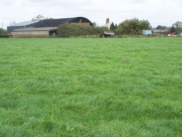
Landywood is a small village located in the district of Cannock Chase, in the county of Staffordshire, England. Situated within the wider area known as Upper Landywood, it is surrounded by picturesque countryside and offers a tranquil setting for its residents.
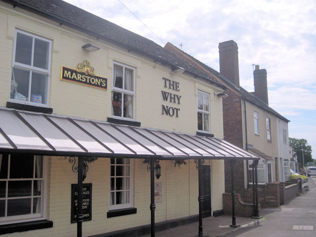
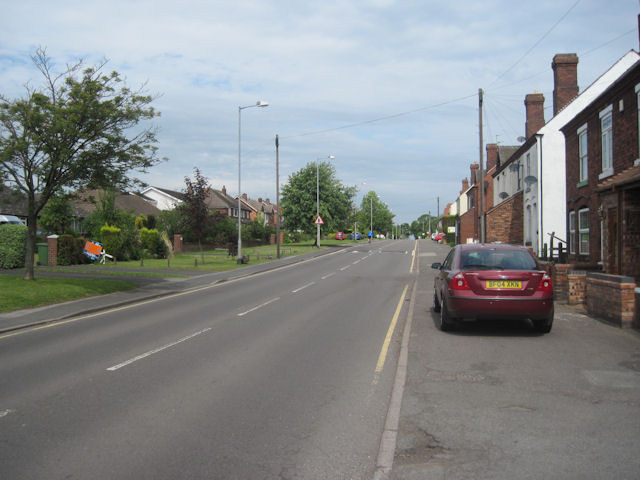
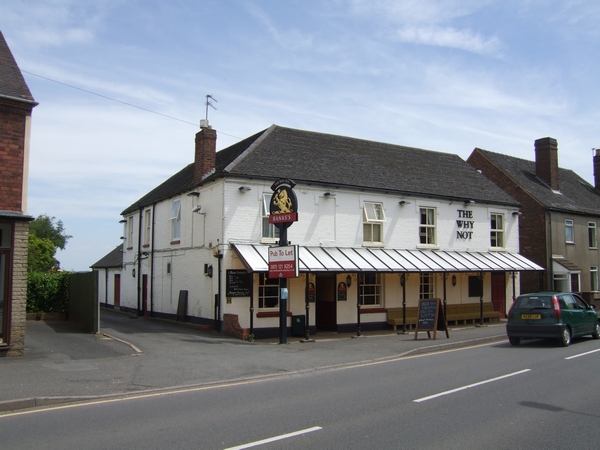
The village is primarily residential, with a mix of traditional cottages and modern houses. It is known for its close-knit community and friendly atmosphere, making it an attractive place to live for families and individuals alike. The village is well-connected, with easy access to nearby towns and cities such as Cannock and Wolverhampton.
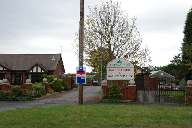
Landywood is served by a variety of amenities and services. It has a primary school, providing quality education for local children, as well as several parks and green spaces, offering recreational opportunities for residents to enjoy the outdoors. The village also boasts a local convenience store and a few small businesses, providing essential goods and services to the community.
For those seeking leisure activities, the nearby Cannock Chase Area of Outstanding Natural Beauty offers a range of opportunities for hiking, cycling, and wildlife spotting. Additionally, within a short driving distance, residents can access Cannock Chase Forest, a popular destination for outdoor enthusiasts.
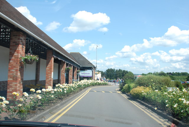
Overall, Landywood offers a peaceful and picturesque living environment, surrounded by natural beauty and with convenient access to essential amenities and nearby attractions.
If you have any feedback on the listing, please let us know in the comments section below.
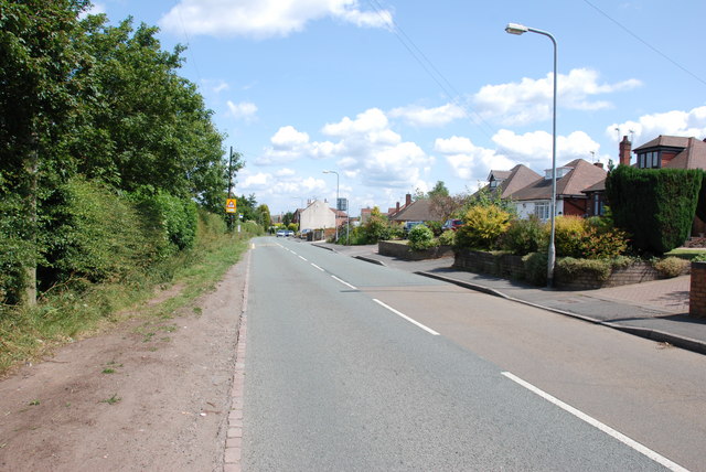
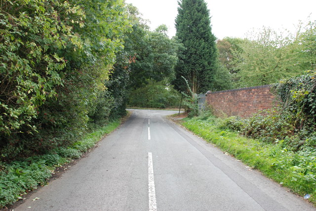
Landywood, Upper Images
Images are sourced within 2km of 52.648106/-2.02879 or Grid Reference SJ9805. Thanks to Geograph Open Source API. All images are credited.


Landywood, Upper is located at Grid Ref: SJ9805 (Lat: 52.648106, Lng: -2.02879)
Administrative County: Staffordshire
District: South Staffordshire
Police Authority: Staffordshire
What 3 Words
///moves.feed.rinse. Near Great Wyrley, Staffordshire
Nearby Locations
Related Wikis

Wednesbury Town F.C.
Wednesbury Town F.C. was the name used for three football clubs based in Wednesbury, West Midlands, England. == Original club == The Wednesbury Football...

Landywood
Landywood is a village in the South Staffordshire district of Staffordshire, England. Landywood is part of the South Staffordshire ward named "Great Wyrley...
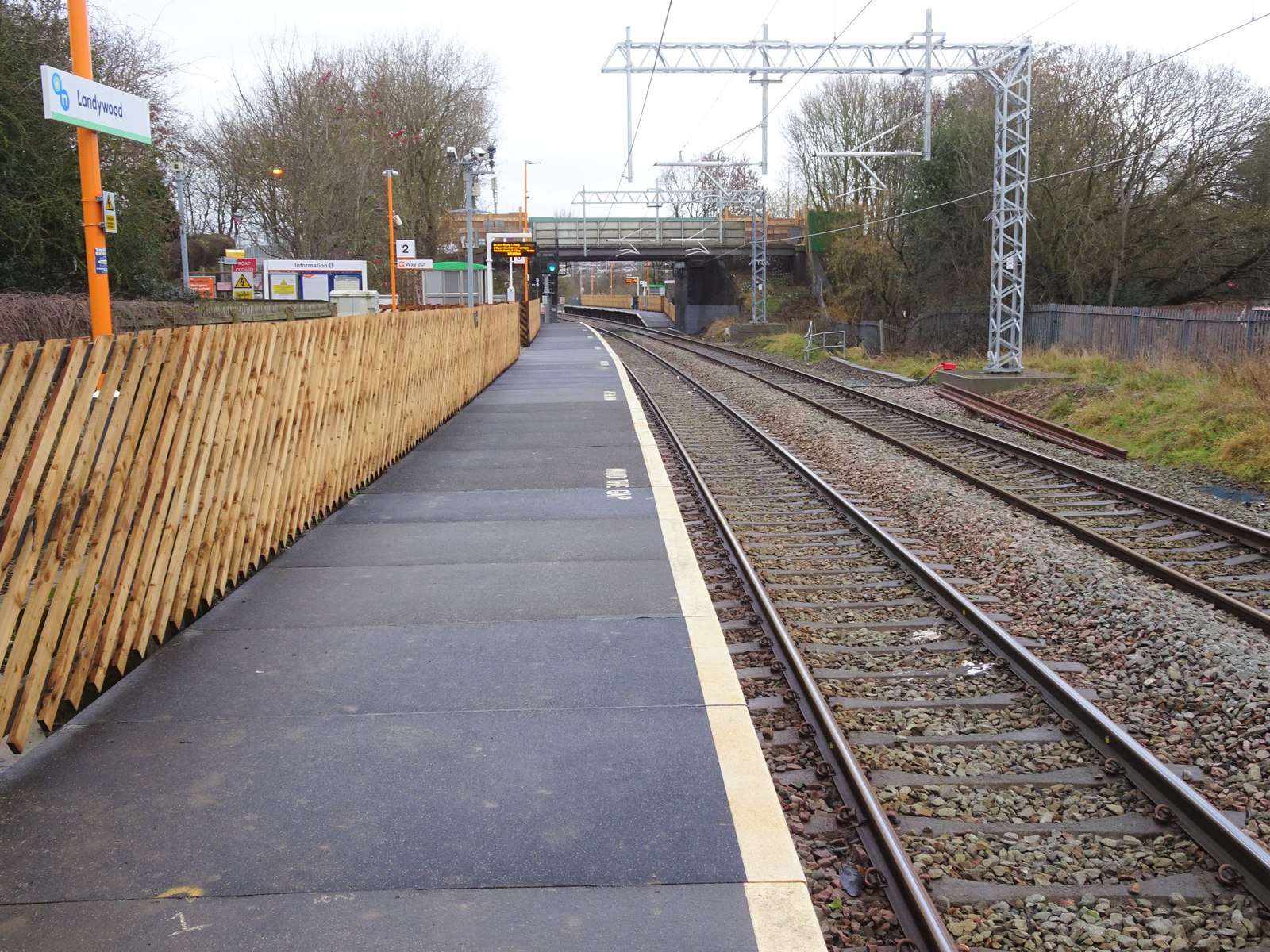
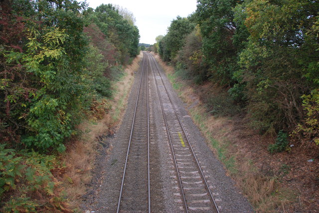
Landywood railway station
Landywood railway station is situated in the village of Landywood in Staffordshire, England. As well as Landywood, the station also serves the adjacent...
Springhill, South Staffordshire
Springhill is a hamlet about a mile from Essington village, in the civil parish of Essington, in the South Staffordshire district, in the county of Staffordshire...

Cheslyn Hay
Cheslyn Hay is a former mining village and civil parish in the South Staffordshire district of Staffordshire, England. It is 3 miles south of Cannock,...
Newtown, Staffordshire
Newtown is a small village in Essington parish, South Staffordshire, England. Newtown lies between the Landywood area of Great Wyrley (to the north) and...
Cheslyn Hay Academy
Cheslyn Hay Academy (formerly Cheslyn Hay Sport and Community High School) is a mixed secondary school and sixth form located in Cheslyn Hay in the English...

Great Wyrley
Great Wyrley is a village and civil parish in the South Staffordshire district of Staffordshire, England. It forms a built up area with nearby Cheslyn...
Nearby Amenities
Located within 500m of 52.648106,-2.02879Have you been to Landywood, Upper?
Leave your review of Landywood, Upper below (or comments, questions and feedback).