Bowhill

Settlement in Fife

Scotland

Bowhill

Kinglassie Road, Cardenden
Kinglassie Road, Cardenden Credit: Douglas Nelson

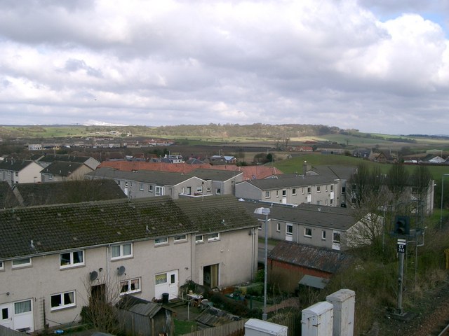
Bowhill is a small village located in the county of Fife, Scotland. Situated approximately 5 miles northwest of the town of Cardenden, Bowhill is a rural community surrounded by picturesque countryside and farmland. It lies in close proximity to the River Ore, adding to its scenic charm.

The village itself is made up of a cluster of houses and a few local amenities, including a primary school and a community hall. The primary school serves as the educational hub for the village, providing education to the local children. The community hall is a gathering place for various events and activities, such as meetings, social gatherings, and local celebrations.

Bowhill is known for its peaceful and idyllic atmosphere, making it an ideal residential area for those seeking a quiet and close-knit community. The surrounding countryside offers opportunities for outdoor activities like walking, cycling, and fishing, attracting nature enthusiasts and visitors looking to explore the great outdoors.

The village benefits from its proximity to nearby towns and cities. Cardenden, with its wider range of services and amenities, is only a short drive away. The city of Edinburgh is approximately 25 miles to the south, providing residents with access to a wider range of employment and recreational opportunities.

Overall, Bowhill, Fife, is a charming village that offers a tranquil and scenic environment for its residents while maintaining easy access to nearby towns and cities.

If you have any feedback on the listing, please let us know in the comments section below.
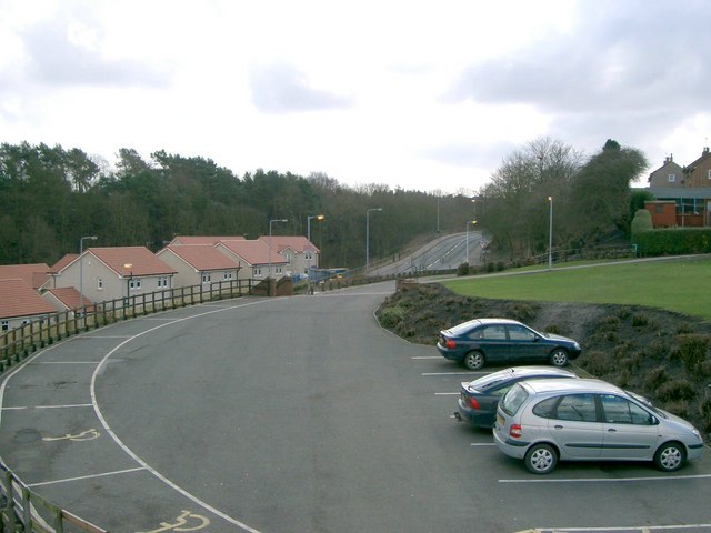
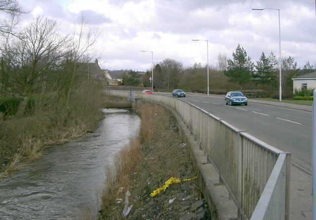
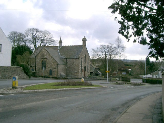
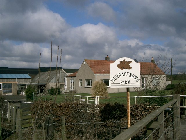
Bowhill Images

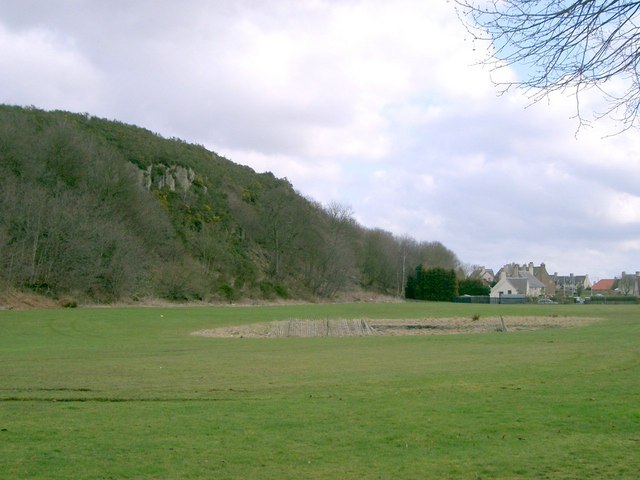
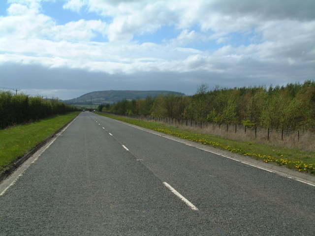
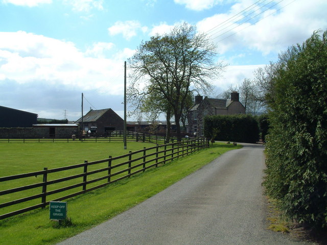
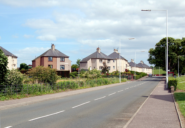
Images are sourced within 2km of 56.146944/-3.262712 or Grid Reference NT2195. Thanks to Geograph Open Source API. All images are credited.
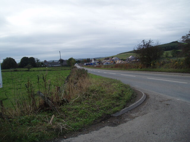
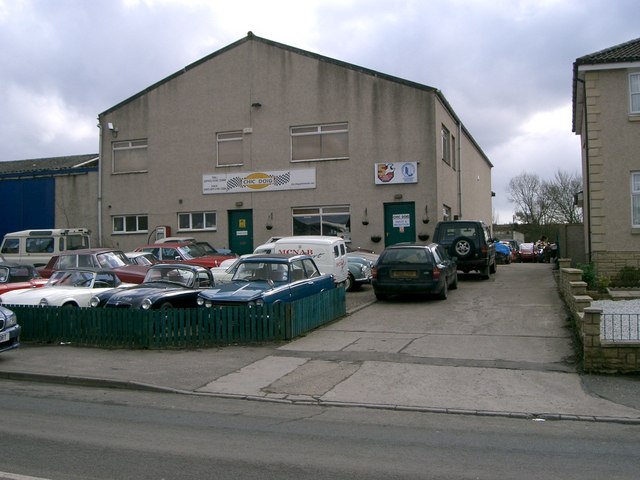
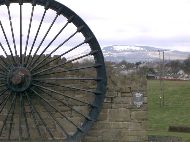
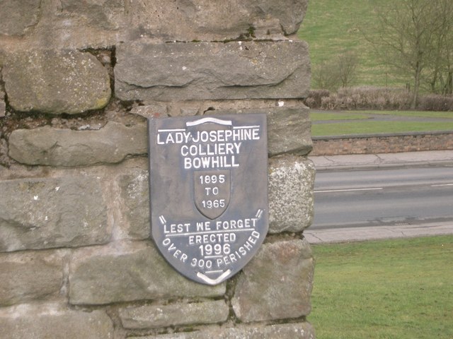
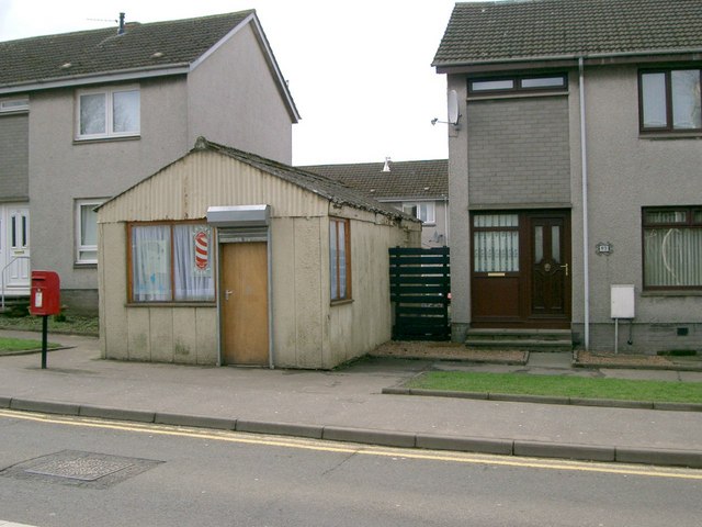
Kinglassie Road, Cardenden
Flooded field at Cardenbarns With three Mute Swans in the foreground.
Flooded field at Cardenbarns
With three Mute Swans in the foreground.
B9097 towards Glenrothes
The new Hare Law Summit ridge of a massive landscaped bing. To the north there are huge holes at Westfield, the rock from there ended up here.
The new Hare Law
Summit ridge of a massive landscaped bing. To the north there are huge holes at Westfield, the rock from there ended up here.
Brigghills Farm Situated just off the road from Lochgelly to Gardenden [B981]
Brigghills Farm
Situated just off the road from Lochgelly to Gardenden [B981]
Cardenden Cardenden Railway Station car park and new houses.
Cardenden
Cardenden Railway Station car park and new houses.
The River Ore The River Ore where it flows through Bowhill.
The River Ore
The River Ore where it flows through Bowhill.
Auchterderran Parish Church St.Fothads Church of Scotland.
Auchterderran Parish Church
St.Fothads Church of Scotland.
Murrayknowe Farm Situated on the Lochgelly to Cardenden Road (B981)
Murrayknowe Farm
Situated on the Lochgelly to Cardenden Road (B981)
Garage Situated on Jamphlars Road this garage seems to specialize in cars of a certain age.
Garage
Situated on Jamphlars Road this garage seems to specialize in cars of a certain age.
Memorial A view north to Bishop Hill from mining memorial at Jamphlars.
Memorial
A view north to Bishop Hill from mining memorial at Jamphlars.
Plaque Inscription on mining memorial.
Plaque
Inscription on mining memorial.
Barber's Shop Unusual site for a barber's shop on Station Road Cardenden.
Barber's Shop
Unusual site for a barber's shop on Station Road Cardenden.
Cardenden Housing in Cardenden.
Cardenden
Housing in Cardenden.
Craighead Plantation Marked on the 1940'S map as Craighead Plantation this is how it looks today.
Craighead Plantation
Marked on the 1940'S map as Craighead Plantation this is how it looks today.
Screen of trees The plantation to the north (right hand) side of the B9097 here was grown to screen from view the open-cast coal workings on the other side of it.
Screen of trees
The plantation to the north (right hand) side of the B9097 here was grown to screen from view the open-cast coal workings on the other side of it.
Strathruddie Nicely manicured drive into the farm buildings
Strathruddie
Nicely manicured drive into the farm buildings
Cardenden The B981 runs east through Cardenden to Cluny and on to Kirkcaldy.
Cardenden
The B981 runs east through Cardenden to Cluny and on to Kirkcaldy.
Show me another place!

Bowhill is located at Grid Ref: NT2195 (Lat: 56.146944, Lng: -3.262712)

Unitary Authority: Fife

Police Authority: Fife

What 3 Words

///pays.bloodshot.crescendo. Near Cardenden, Fife

Nearby Locations

Bowhill

Related Wikis

Cardenden railway station

Cardenden railway station is a railway station in Cardenden, Fife, Scotland. The station is managed by ScotRail and is on the Fife Circle Line, 27 miles...

Auchterderran

Auchterderran () is a village in Fife, Scotland. It is sometimes thought as part of the larger village, Cardenden, although Cardenden is part of the parish...

Dundonald Bluebell F.C.

Dundonald Bluebell Football Club are a Scottish football club based in Cardenden, Fife. The team plays in the East of Scotland League Premier Division...

Cardenden

Cardenden ( ) is a Scottish town located on the south bank of the River Ore in the parish of Auchterderran, Fife. It is approximately 4 miles (6.4 km)...

Driftland

Driftland is a purpose-built race track for drifting inspired by the drift tracks of Japan at the Lochgelly Motorsport Complex, Fife, Scotland. The facility...

Kinglassie

Kinglassie (Scottish Gaelic: Cill Ghlaise) is a small village and parish in central Fife, Scotland. It is located two miles southwest of Glenrothes. It...

Lochgelly railway station

Lochgelly railway station is a railway station in Lochgelly, Scotland. The station is managed by ScotRail and is on the Fife Circle Line, 25 miles (40...

Lochgelly High School

Lochgelly High School is a non-denominational secondary school located in Lochgelly, Fife. The school's catchment area covers Lochgelly and the surrounding...

Related Videos

Helstone The Lizards Cornwall # travel in the west and camping ⛺️ and very awesome view

Camping ⛺️ in the west in Cornwall very awesome view but always raining there .

FIFE PILGRIM WAY - DAY FOUR

Lochore to Markinch on Scotland's new walking trail. Leaving Lochore and its rich coal mining heritage, we pass through ...

Fraserburgh Pennan # welcome to my channel jovy jacinto life in 🇬🇧 Uk

Fraserburgh is a town in Aberdeenshire,Scotland with a population at 13100.it lies at the far northeast corner of Aberdeenshire ...

PARADISE AT DRIFTLAND // VIOLENT-D BIRTHDAY BASH

drifting #drift Bank holiday Monday 29th May 2023 - @Violent-d BIRTHDAY BASH at Driftland in Fife, Scotland. The weather was ...

Nearby Amenities

Located within 500m of 56.146944,-3.262712
Cardenden
Place: town
Population: 5533
Source: npe
Wikidata: Q1014545
Wikipedia: en:Cardenden
Lat/Long: 56.1429378/-3.2599214
Auchterderran
Place: village
Source: npe
Wikidata: Q3629442
Wikipedia: en:Auchterderran
Lat/Long: 56.1500722/-3.266636
Direction: both
Surface: asphalt
Traffic Calming: cushion
Lat/Long: 56.1484303/-3.2699227
Mini Roundabout
Lat/Long: 56.1492671/-3.2671304
Crossing
Crossing: traffic_signals
Lat/Long: 56.1469025/-3.2630865
Crossing
Crossing: uncontrolled
Crossing Ref: zebra
Lat/Long: 56.1441803/-3.2611266
Post Box
Collection Times: Mo-Fr 09:00; Sa 07:00
Operator: Royal Mail
Post Box Type: lamp
Ref: KY5 150D
Royal Cypher: scottish_crown
Source: survey
Lat/Long: 56.1432193/-3.2609643
Post Office
Cardenden Post Office
Addr City: Cardenden
Addr Housenumber: 181-185
Addr Postcode: KY5 0BN
Addr Street: Station Road
Brand: Post Office
Brand Wikidata: Q1783168
Check Date: 2023-09-27
Opening Hours: Mo-Su 07:00-22:00
Operator: Co-op Food
Ref Pol Id: 5664
Website: https://www.postoffice.co.uk/branch-finder/1848445/cardenden
Lat/Long: 56.1467122/-3.2630036
Post Box
Collection Times: Mo-Fr 16:45; Sa 10:30
Operator: Royal Mail
Post Box Type: pillar
Ref: KY5 153
Royal Cypher: scottish_crown
Source: survey
Lat/Long: 56.1468734/-3.2635837
Post Box
Brand: Royal Mail
Brand Wikidata: Q638098
Collection Times: Mo-Fr 09:00; Sa 07:00
Operator: Royal Mail
Operator Wikidata: Q638098
Post Box Type: wall
Ref: KY5 32D
Royal Cypher: VR
Royal Cypher Wikidata: Q33102356
Source: survey
Lat/Long: 56.1489748/-3.2664701
Historic: memorial
Memorial: war_memorial
Wikidata: Q77770748
Lat/Long: 56.1493574/-3.2673127
Pub
The Auld Hoose
Lat/Long: 56.1491332/-3.2670099
Power: tower
Lat/Long: 56.1479623/-3.268264
Power: tower
Lat/Long: 56.1444089/-3.2650311
Direction: both
Surface: asphalt
Traffic Calming: table
Lat/Long: 56.147716/-3.2704984
Direction: both
Surface: asphalt
Traffic Calming: cushion
Lat/Long: 56.1498583/-3.2618434
Crossing
Crossing: marked
Crossing Island: no
Crossing Markings: zebra
Tactile Paving: yes
Lat/Long: 56.1427191/-3.2606664
Bowhill
Place: village
Lat/Long: 56.1474669/-3.2645665
Bus Stop
Wallsgreen Gardens
Bus: yes
Departures Board: timetable
Naptan AtcoCode: 6500K0866
Naptan Bearing: NW
Naptan CommonName: Wallsgreen Gardens
Naptan Indicator: adj
Naptan Landmark: Wallsgreen Gardens
Naptan NaptanCode: 34327526
Naptan Street: Main Road
Public Transport: platform
Ref: 34327526
Shelter: yes
Lat/Long: 56.1473327/-3.2641452
Bus Stop
Main Street
Bus: yes
Departures Board: timetable
Naptan AtcoCode: 6500K0867
Naptan Bearing: SE
Naptan CommonName: Main Street
Naptan Indicator: adj 10
Naptan Landmark: Kirkburn Dr
Naptan NaptanCode: 34327527
Naptan Street: Main Street
Public Transport: platform
Ref: 34327527
Shelter: yes
Lat/Long: 56.1472838/-3.2637337
Power: pole
Lat/Long: 56.1483963/-3.2685597
Noexit: yes
Lat/Long: 56.1461664/-3.2612642
Barrier: kissing_gate
Lat/Long: 56.1469463/-3.2641814
Bus Stop
Cardenden Road
Bus: yes
Departures Board: timetable
Naptan AtcoCode: 6500K0873
Naptan Bearing: E
Naptan CommonName: Cardenden Road
Naptan Indicator: adj 13
Naptan Landmark: Ore Valley Sheltered Housing
Naptan NaptanCode: 34327487
Naptan Street: Cardenden Road
Public Transport: platform
Ref: 34327487
Shelter: yes
Lat/Long: 56.1437472/-3.259338
Grit Bin
Lat/Long: 56.1437669/-3.2592557
Pub
Railway Tavern
Addr City: Cardenden
Addr Housenumber: 1
Addr Postcode: KY5 0PA
Addr Street: Cardenden Road
Lat/Long: 56.1436669/-3.2607649
Car Wash
Bubbles Hand Carwash
Phone: +44 7448 116358
Lat/Long: 56.1442065/-3.2612731
Bus Stop
Gammie Place
Bus: yes
Departures Board: timetable
Naptan AtcoCode: 6500K0870
Naptan Bearing: N
Naptan CommonName: Gammie Place
Naptan Indicator: opp
Naptan Landmark: Gammie Place
Naptan NaptanCode: 34327492
Naptan Street: Station Road
Public Transport: platform
Ref: 34327492
Shelter: yes
Lat/Long: 56.1443549/-3.2611845
Crossing
Crossing: zebra
Crossing Island: no
Tactile Paving: yes
Lat/Long: 56.1462311/-3.2619875
Bus Stop
Orebank Road
Bus: yes
Departures Board: timetable
Naptan AtcoCode: 6500K0868
Naptan Bearing: NE
Naptan CommonName: Orebank Road
Naptan Indicator: opp
Naptan Landmark: Orebank Road
Naptan NaptanCode: 34327523
Naptan Street: Station Road
Public Transport: platform
Ref: 34327523
Shelter: yes
Lat/Long: 56.1460693/-3.2619468
Bus Stop
Orebank Road
Bus: yes
Departures Board: timetable
Naptan AtcoCode: 6500K0869
Naptan Bearing: SE
Naptan CommonName: Orebank Road
Naptan Indicator: adj
Naptan Landmark: Orebank Road
Naptan NaptanCode: 34327524
Naptan Street: Station Road
Public Transport: platform
Ref: 34327524
Shelter: yes
Lat/Long: 56.1460528/-3.2616952
Bayne's
Shop: bakery
Lat/Long: 56.1466968/-3.2635089
Pharmacy
Brian Johnston Pharmacy
Addr City: Cardenden
Addr Housenumber: 191
Addr Postcode: KY5 0BN
Addr Street: Station Road
Dispensing: yes
Healthcare: pharmacy
Lat/Long: 56.1467174/-3.2634278
Direction: both
Surface: asphalt
Traffic Calming: cushion
Lat/Long: 56.1480023/-3.2640041
Bus Stop
Bowhill View
Bus: yes
Departures Board: timetable
Naptan AtcoCode: 6500K0863
Naptan Bearing: SW
Naptan CommonName: Bowhill View
Naptan Indicator: adj
Naptan Landmark: Bowhill View
Naptan NaptanCode: 34327538
Naptan Street: Jamphlars Road
Public Transport: platform
Ref: 34327538
Shelter: yes
Lat/Long: 56.1484244/-3.2696369
Bus Stop
Bowhill View
Bus: yes
Departures Board: timetable
Naptan AtcoCode: 6500K0862
Naptan Bearing: NE
Naptan CommonName: Bowhill View
Naptan Indicator: opp
Naptan Landmark: Bowhill View
Naptan NaptanCode: 34327542
Naptan Street: Jamphlars Road
Public Transport: platform
Ref: 34327542
Shelter: yes
Lat/Long: 56.1485672/-3.2695986
Historic: memorial
Lat/Long: 56.1481461/-3.2696625
Co-op Food
Brand: Co-op Food
Brand Wikidata: Q3277439
Brand Wikipedia: en:Co-op Food
Operator: The Co-operative Group
Operator Wikidata: Q117202
Shop: convenience
Website: https://www.coop.co.uk/store-finder/KY5-0BN/179-183-station-road
Lat/Long: 56.1467745/-3.263085
Charging Station
Access: yes
Capacity: 2
Lat/Long: 56.1462362/-3.2614262
Bus Stop
Cardenden Road
Bus: yes
Departures Board: timetable
Naptan AtcoCode: 6500K0780
Naptan Bearing: W
Naptan CommonName: Cardenden Road
Naptan Indicator: adj 30
Naptan Landmark: Scout Hall
Naptan NaptanCode: 34327486
Naptan Street: Cardenden Road
Public Transport: platform
Ref: 34327486
Shelter: no
Lat/Long: 56.1437548/-3.2582394
Bus Stop
The Auld Hoose
Bus: yes
Departures Board: timetable
Naptan AtcoCode: 6500K0864
Naptan Bearing: NW
Naptan CommonName: The Auld Hoose
Naptan Indicator: adj
Naptan Landmark: The Auld Hoose
Naptan NaptanCode: 34327545
Naptan Street: Main Street
Public Transport: platform
Ref: 34327545
Shelter: yes
Lat/Long: 56.1489914/-3.2664614
Bus Stop
The Auld Hoose
Bus: yes
Departures Board: timetable
Naptan AtcoCode: 6500K0865
Naptan Bearing: SE
Naptan CommonName: The Auld Hoose
Naptan Indicator: opp
Naptan Landmark: The Auld Hoose
Naptan NaptanCode: 34327547
Naptan Street: Main Street
Public Transport: platform
Ref: 34327547
Shelter: yes
Lat/Long: 56.1492167/-3.266553
Bus Stop
Bowhill Club
Bus: yes
Departures Board: timetable
Naptan AtcoCode: 6500K0871
Naptan Bearing: SE
Naptan CommonName: Bowhill Club
Naptan Indicator: opp
Naptan Landmark: Bowhill Club
Naptan NaptanCode: 34327479
Naptan Street: Station Road
Public Transport: platform
Ref: 34327479
Shelter: yes
Lat/Long: 56.1426231/-3.2605632
Power: pole
Lat/Long: 56.1490056/-3.2688151
Power: tower
Lat/Long: 56.1474357/-3.2680884
Power: tower
Lat/Long: 56.1461709/-3.2667789
Information: map
Map Type: map
Tourism: information
Lat/Long: 56.1458265/-3.266349
Bench
Material: wood
Lat/Long: 56.1443714/-3.2693047
Direction: both
Surface: asphalt
Traffic Calming: table
Lat/Long: 56.1482525/-3.2701129
Stop
Direction: forward
Lat/Long: 56.1435024/-3.260967
Entrance: yes
Lat/Long: 56.1442172/-3.260804
Atm
Lat/Long: 56.1442102/-3.2609859
Defibrillator
Emergency: defibrillator
Lat/Long: 56.1460644/-3.2616485
Defibrillator
Emergency: defibrillator
Ref GB The Circuit: 6B6DF8B3-F9B9-429C-B708-ADBC018A60E0
Lat/Long: 56.149896/-3.2664275
John Thomson
Cemetery: grave
Historic: memorial
Memorial: grave
Wikidata: Q932330
Wikipedia: en:John Thomson (footballer, born 1909)
Lat/Long: 56.148632/-3.2653229
Generator Method: photovoltaic
Generator Output Electricity: yes
Generator Source: solar
Generator Type: solar_photovoltaic_panel
Power: generator
Lat/Long: 56.1486868/-3.2654427
Generator Method: photovoltaic
Generator Output Electricity: yes
Generator Source: solar
Generator Type: solar_photovoltaic_panel
Power: generator
Lat/Long: 56.148704/-3.2629763
Direction: both
Surface: asphalt
Traffic Calming: cushion
Lat/Long: 56.148931/-3.2627938
Barrier: kissing_gate
Lat/Long: 56.1463225/-3.2706317
Waste Basket
Lat/Long: 56.1463055/-3.270596
Information: map
Map Type: map
Tourism: information
Lat/Long: 56.1462712/-3.2705447
Waste Basket
Lat/Long: 56.1458437/-3.2663737
Direction: both
Surface: asphalt
Traffic Calming: cushion
Lat/Long: 56.1507732/-3.2636798
Direction: both
Surface: asphalt
Traffic Calming: cushion
Lat/Long: 56.1511142/-3.2648777
Bar
Central Bar
Lat/Long: 56.1461694/-3.262146
Kirk Andrews
Shop: butcher
Lat/Long: 56.1467605/-3.2623094
The Fish Howld
Shop: seafood
Lat/Long: 56.1463054/-3.2618384
Fast Food
Tony's Fish Bar
Lat/Long: 56.1465802/-3.2621141
Cafe
Grafters Grub
Lat/Long: 56.1466308/-3.2621638
Fast Food
King Kebab & Pizza House
Lat/Long: 56.1467042/-3.2622529
Cardenden Community Shop
Shop: charity
Lat/Long: 56.146/-3.261992
Fast Food
Caspian
Lat/Long: 56.1459078/-3.2618379
Atm
Lat/Long: 56.1468074/-3.263651
Scotbet
Shop: bookmaker
Lat/Long: 56.1466732/-3.2635911
Fast Food
Chinese Kitchen
Cuisine: chinese
Lat/Long: 56.1467403/-3.2633466
Pharmacy
Boots
Brand: Boots
Brand Wikidata: Q6123139
Dispensing: yes
Healthcare: pharmacy
Lat/Long: 56.1467597/-3.2632223
Fast Food
Serena
Lat/Long: 56.1467814/-3.2627818
Vip Traditional Turkish Barber
Shop: hairdresser
Lat/Long: 56.1467143/-3.2626944
Dentist
Cardenden Dental Practice
Healthcare: dentist
Phone: +44 1592 721979
Lat/Long: 56.1470073/-3.2630748
YES2
Club: yes
Lat/Long: 56.1470192/-3.2629176
The Salon
Phone: +44 1592 722297
Shop: hairdresser
Lat/Long: 56.1465262/-3.2620578
Beautello
Shop: beauty
Lat/Long: 56.1460461/-3.2620228
Revive
Shop: beauty
Lat/Long: 56.1458082/-3.2617298
Gibson's Barber Shop
Shop: hairdresser
Lat/Long: 56.1459607/-3.2619413
John Gilfillan Funeral Directors
Shop: funeral_directors
Lat/Long: 56.1458576/-3.2617836
Bowhill Miners Boxing Club
Club: yes
Lat/Long: 56.1461168/-3.2623015
Communication Mobile Phone: yes
Man Made: mast
Tower Type: communication
Lat/Long: 56.1445796/-3.2595852
Communication Mobile Phone: yes
Man Made: mast
Tower Type: communication
Lat/Long: 56.1447111/-3.2597059
Direction: both
Surface: asphalt
Traffic Calming: cushion
Lat/Long: 56.1468026/-3.2605057
Direction: both
Surface: asphalt
Traffic Calming: cushion
Lat/Long: 56.1471935/-3.2616561
Direction: both
Surface: asphalt
Traffic Calming: cushion
Lat/Long: 56.1475534/-3.2580409
Direction: both
Surface: asphalt
Traffic Calming: cushion
Lat/Long: 56.1477107/-3.2599802
Direction: both
Surface: asphalt
Traffic Calming: cushion
Lat/Long: 56.148284/-3.2581338
Direction: both
Surface: asphalt
Traffic Calming: cushion
Lat/Long: 56.1485952/-3.2571587
Direction: both
Surface: asphalt
Traffic Calming: cushion
Lat/Long: 56.1490621/-3.2596714
Direction: both
Surface: asphalt
Traffic Calming: cushion
Lat/Long: 56.1493203/-3.2588267
Direction: both
Surface: asphalt
Traffic Calming: cushion
Lat/Long: 56.1499228/-3.2603259
Direction: both
Surface: asphalt
Traffic Calming: cushion
Lat/Long: 56.148899/-3.2579088
The data included in this document is from www.openstreetmap.org. The data is made available under ODbL.

Have you been to Bowhill?

Leave your review of Bowhill below (or comments, questions and feedback).